Betterton Down
Downs, Moorland in Berkshire Vale of White Horse
England
Betterton Down
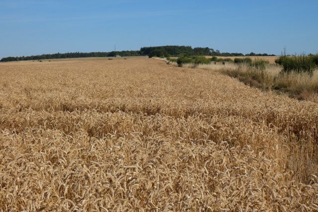
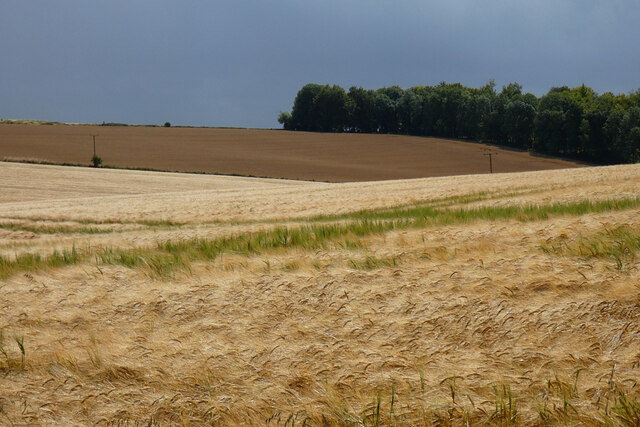
Betterton Down is a picturesque area located in Berkshire, England, known for its expansive downs and moorland. Covering an area of approximately 1,200 acres, it offers a diverse landscape that attracts visitors from far and wide.
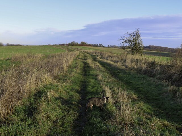
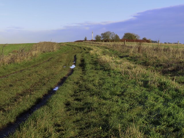
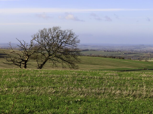
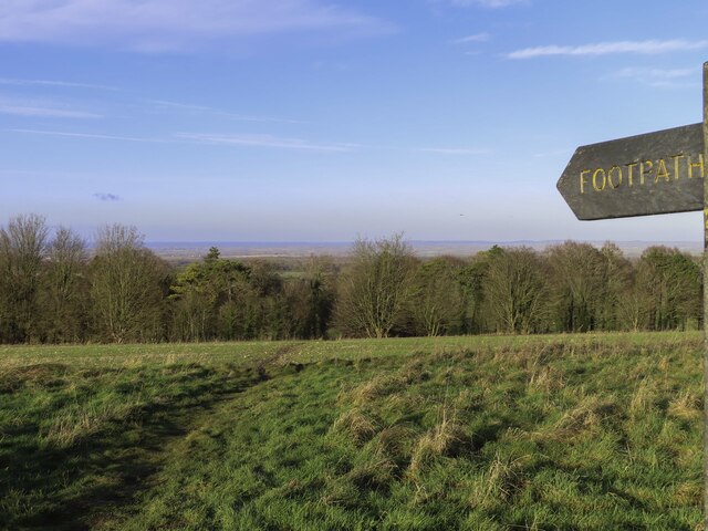
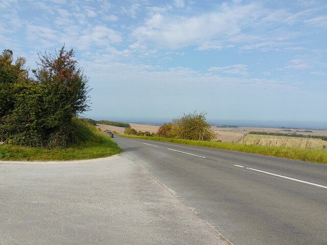
The downs of Betterton Down are characterized by rolling hills, providing panoramic views of the surrounding countryside. The grassy slopes are ideal for leisurely walks or picnics, and visitors can enjoy the tranquility and fresh air that this natural setting offers. The area is also home to a variety of plant and animal species, making it a popular spot for nature enthusiasts and wildlife photographers.
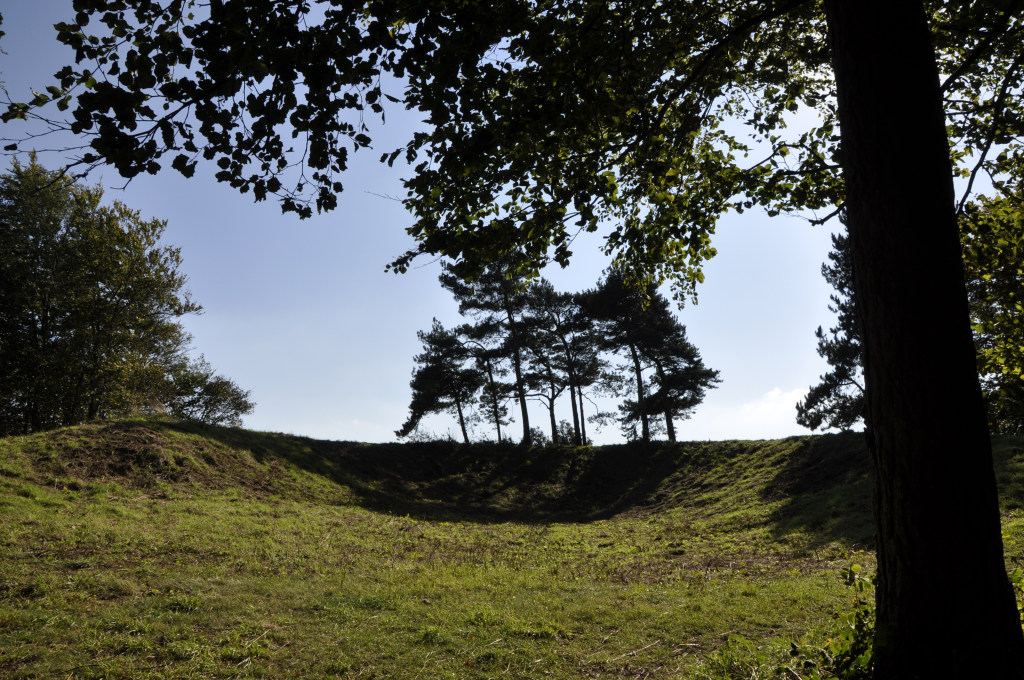
In addition to the downs, Betterton Down features vast stretches of moorland, which adds to the area's charm. The moorland is characterized by open expanses of heather and grass, dotted with scattered trees and shrubs. This rugged landscape provides a unique habitat for a range of wildlife, including birds such as skylarks and kestrels, as well as small mammals like rabbits and foxes.
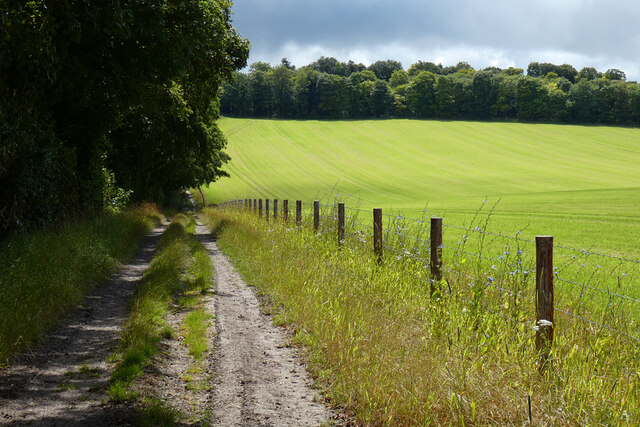
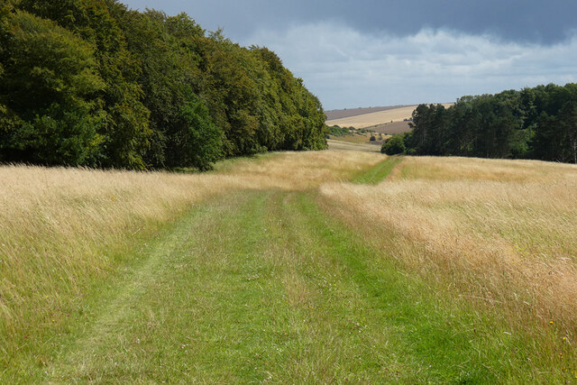
Betterton Down is easily accessible, with well-maintained footpaths and trails that allow visitors to explore the area at their own pace. The area is also popular among outdoor enthusiasts, offering opportunities for hiking, birdwatching, and even horseback riding.
Overall, Betterton Down in Berkshire is a beautiful and serene natural area, offering visitors the chance to immerse themselves in the beauty of the downs and moorland. Whether it's for a leisurely walk, wildlife spotting, or simply enjoying the peaceful surroundings, this idyllic location has something to offer for everyone.
If you have any feedback on the listing, please let us know in the comments section below.
Betterton Down Images
Images are sourced within 2km of 51.555719/-1.3879638 or Grid Reference SU4284. Thanks to Geograph Open Source API. All images are credited.


Betterton Down is located at Grid Ref: SU4284 (Lat: 51.555719, Lng: -1.3879638)
Administrative County: Oxfordshire
District: Vale of White Horse
Police Authority: Thames Valley
What 3 Words
///subsystem.giants.globe. Near Farnborough, Berkshire
Nearby Locations
Related Wikis
Farnborough, Berkshire
Farnborough is a village and civil parish in West Berkshire, about 4 miles (6.4 km) south of Wantage. The village is 720 feet (220 m) above sea level on...

The Ridgeway
The Ridgeway is a ridgeway or ancient trackway described as Britain's oldest road. The section clearly identified as an ancient trackway extends from Wiltshire...

West Ginge
West Ginge is a hamlet within the civil parish of Ardington in the English county of Oxfordshire (formerly Berkshire), 3.9 miles (6.3 km) by road to the...

East Lockinge
East Lockinge is a village and former civil parish, now in the parish of Lockinge, in the Vale of White Horse district, in the county of Oxfordshire, England...
Scutchamer Knob
Scutchamer Knob, also known as Cuckhamsley Hill and occasionally as Scotsman's Knob or Beacon Hill, is an early Iron Age round barrow on the Ridgeway National...

West Lockinge
West Lockinge is a village in and former civil parish, now in the parish of Lockinge, in the Vale of White Horse district, in the county of Oxfordshire...

Chain Hill
Chain Hill is one of the hills of the North Wessex Downs, located in the civil parish of Wantage in the English county of Oxfordshire. In 1974 it was transferred...

Lockinge Estate
The Lockinge Estate is a 3,035-hectare (7,500-acre) agricultural and housing estate near Wantage that today includes most of the land and property encompassing...
Have you been to Betterton Down?
Leave your review of Betterton Down below (or comments, questions and feedback).