Chapel Fields

Downs, Moorland in Yorkshire Harrogate

England

Chapel Fields

Lych Gate at the entrance to St. John the Baptist's Church, Hunsingore
Lych Gate Credit: Roger W Haworth

Chapel Fields is a charming village located in the heart of Yorkshire, known for its stunning landscapes and captivating natural beauty. Situated amidst the rolling Yorkshire Downs and Moorland, this idyllic village offers residents and visitors a peaceful retreat from the hustle and bustle of city life.

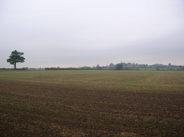
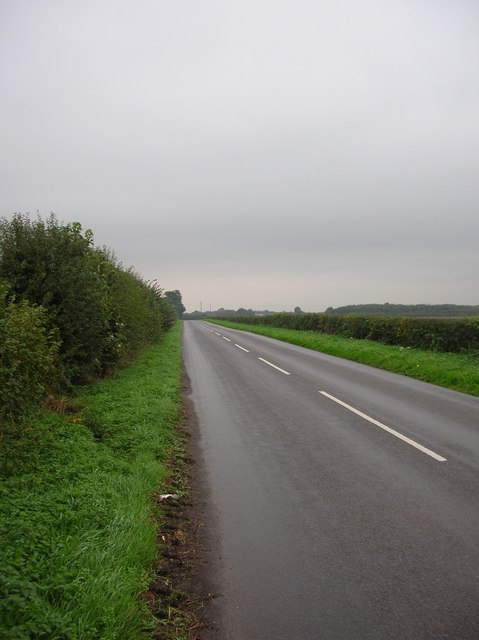
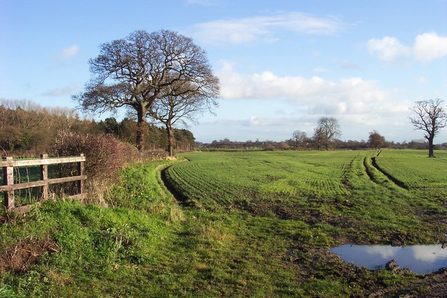
The village is characterized by its picturesque countryside, with vast expanses of green fields and meadows stretching as far as the eye can see. The Yorkshire Downs, with their gently sloping hills and breathtaking vistas, provide a perfect backdrop for outdoor activities such as hiking, cycling, and horseback riding. The Moorland, on the other hand, offers a more rugged and untamed landscape, with heather-covered hills and scattered rocky outcrops.

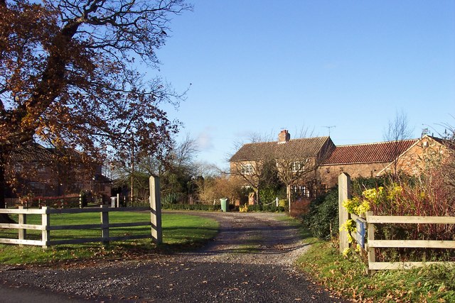
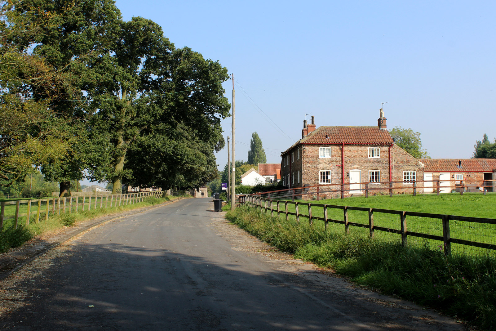
Chapel Fields itself is a close-knit community, with a small population that fosters a warm and welcoming atmosphere. The village is dotted with traditional stone-built houses and cottages, giving it a quintessentially English charm. The locals take great pride in their village and often organize community events and festivals throughout the year.

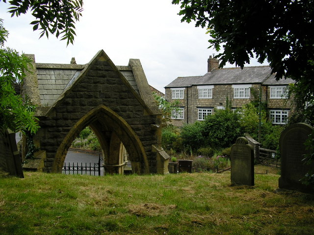
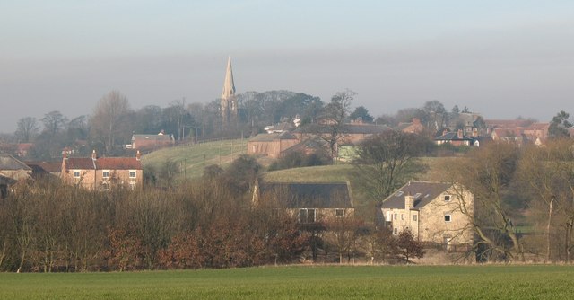
For those seeking a taste of local culture, Chapel Fields boasts a historic church dating back several centuries. The church, with its stunning architecture and serene surroundings, is a testament to the village's rich history and heritage.

In summary, Chapel Fields is a hidden gem in Yorkshire, offering visitors a chance to immerse themselves in the beauty of the Downs and Moorland. With its friendly community and stunning natural landscapes, this village is a haven for those looking to escape the stresses of modern life and reconnect with nature.

If you have any feedback on the listing, please let us know in the comments section below.

Chapel Fields Images

Images are sourced within 2km of 53.962437/-1.3542703 or Grid Reference SE4252. Thanks to Geograph Open Source API. All images are credited.
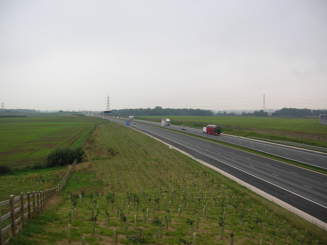
Lych Gate at the entrance to St. John the Baptist's Church, Hunsingore
Lych Gate
at the entrance to St. John the Baptist's Church, Hunsingore
The Bridge, Walshford hotel and restaurant, successor to the Walshford Bridge Inn, an old coaching inn on the Great North Road about 300 metres away from the bridge over the River Nidd. <span class="nowrap"><a title="http://www.walshford.co.uk/" rel="nofollow ugc noopener" href="http://www.walshford.co.uk/">Link</a><img style="margin-left:2px;" alt="External link" title="External link - shift click to open in new window" src="https://s1.geograph.org.uk/img/external.png" width="10" height="10"/></span>
The Bridge, Walshford
hotel and restaurant, successor to the Walshford Bridge Inn, an old coaching inn on the Great North Road about 300 metres away from the bridge over the River Nidd. LinkExternal link
Ox Close Farm Situated next to the old A1 [now A168], the road runs just behind the farm. This is taken from the Cowthorpe road which passes over the A168.
Ox Close Farm
Situated next to the old A1 [now A168], the road runs just behind the farm. This is taken from the Cowthorpe road which passes over the A168.
The old A1 This confused me as my map was out of date. I stood here for a while wondering why the A1 was empty  before noticing the A1(M). This road is now called the A168.
The old A1
This confused me as my map was out of date. I stood here for a while wondering why the A1 was empty before noticing the A1(M). This road is now called the A168.
New bridge over the A1(M) Too new to be on any of my maps, the Cowthorpe road crosses over the A1(M).
New bridge over the A1(M)
Too new to be on any of my maps, the Cowthorpe road crosses over the A1(M).
New A1(M) This was not on my map! The newly built A1 looking south. From here it is a motorway for another mile before returning to A road classification. Taken from the bridge on the Cowthorpe road.
New A1(M)
This was not on my map! The newly built A1 looking south. From here it is a motorway for another mile before returning to A road classification. Taken from the bridge on the Cowthorpe road.
Bales next to the Cowthorpe road Bales of straw stacked up along the road from Cowthorpe to North Deighton. Not far beyond the horizon of this picture is a new section of the A1(M).
Bales next to the Cowthorpe road
Bales of straw stacked up along the road from Cowthorpe to North Deighton. Not far beyond the horizon of this picture is a new section of the A1(M).
Cowthorpe The village of Cowthorpe between York and Harrogate. The village now has the A1(M) running close by.
Cowthorpe
The village of Cowthorpe between York and Harrogate. The village now has the A1(M) running close by.
Overhanging Oaks This is the Cowthorpe to Tockwith road, and is overhung at this section by several large oak trees.
Overhanging Oaks
This is the Cowthorpe to Tockwith road, and is overhung at this section by several large oak trees.
Towards Hunsingore Looking across to Hunsingore from the Cowthorpe road as I sheltered from the rain under a large oak tree.
Towards Hunsingore
Looking across to Hunsingore from the Cowthorpe road as I sheltered from the rain under a large oak tree.
Cowthorpe to Tockwith road Looking along the Cowthorpe to Tockwith road on a wet Monday afternoon.
Cowthorpe to Tockwith road
Looking along the Cowthorpe to Tockwith road on a wet Monday afternoon.
Broad Oaks Farm
Broad Oaks Farm
River Nidd Just off the Tockwith Road
River Nidd
Just off the Tockwith Road
Phonebox in Cowthorpe
Trees above War Field Lane
Lingcroft At the end of War Field Lane, Cowthorpe.
Lingcroft
At the end of War Field Lane, Cowthorpe.
War Fields Open fields off War Field Lane, Cowthorpe.
War Fields
Open fields off War Field Lane, Cowthorpe.
Stable and polytunnels off War Field Lane
Show me another place!

Chapel Fields is located at Grid Ref: SE4252 (Lat: 53.962437, Lng: -1.3542703)

Division: West Riding

Administrative County: North Yorkshire

District: Harrogate

Police Authority: North Yorkshire

What 3 Words

///clef.cross.casino. Near Wetherby, West Yorkshire

Related Wikis

Cowthorpe

Cowthorpe is a village in the civil parish of Tockwith, in North Yorkshire, England. It is situated 3 miles (4.8 km) north of Wetherby, 10 miles (16 km...

St Michael's Church, Cowthorpe

St Michael's Church is a redundant church in the village of Cowthorpe, North Yorkshire, England. It is recorded in the National Heritage List for England...

Ingmanthorpe, North Yorkshire

Ingmanthorpe is a hamlet close to the village of Kirk Deighton in North Yorkshire, England, the village is situated approximately 2 miles (3.2 km) north...

Hunsingore

Hunsingore is a village and civil parish in the Harrogate district of North Yorkshire, England. It is situated near the River Nidd and the A1(M) motorway...

Walshford

Walshford is a hamlet in the civil parish of Great Ribston with Walshford, in the Harrogate district, in the county of North Yorkshire, England. The hamlet...
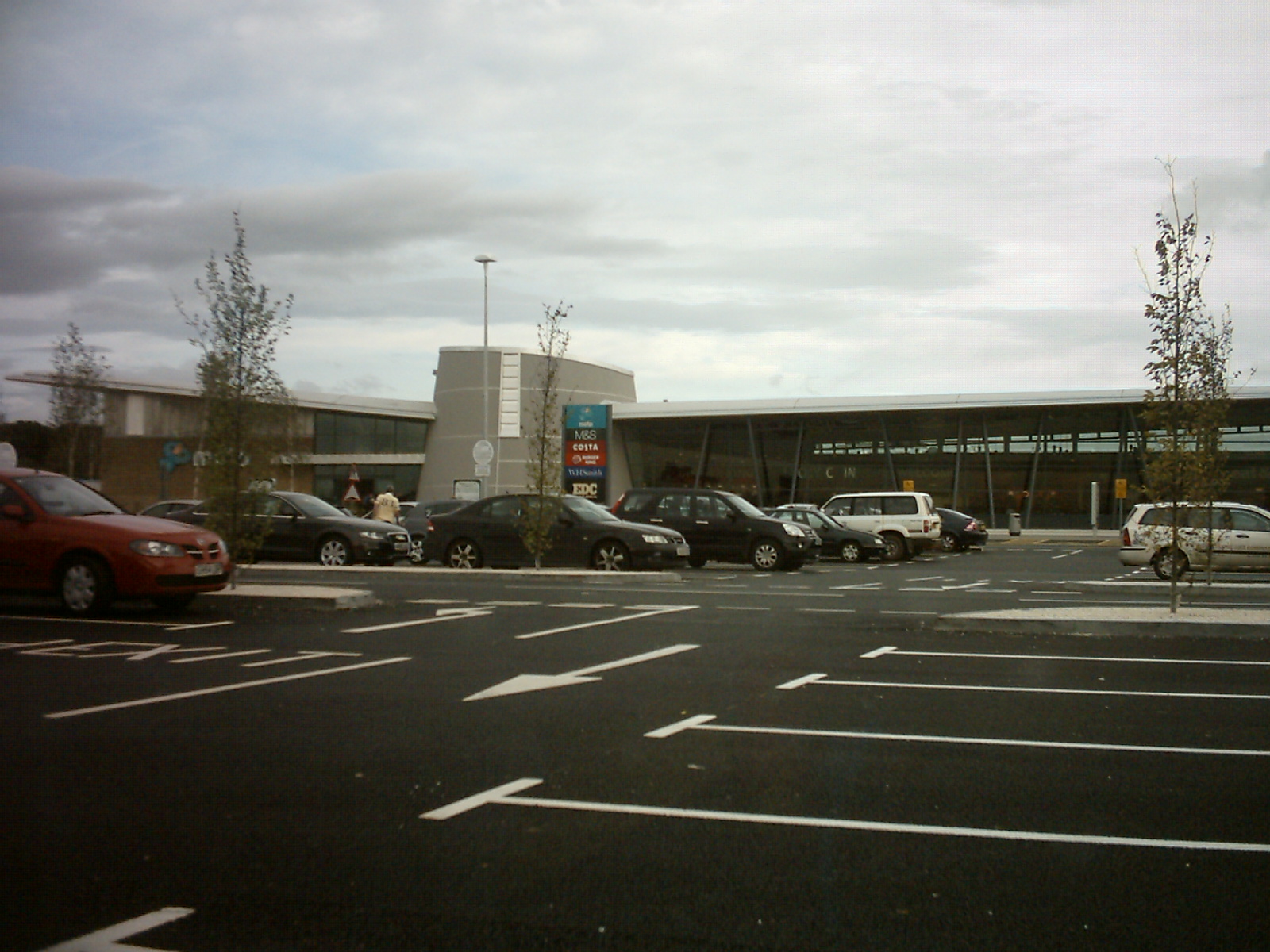
Wetherby services

Wetherby Services is a motorway service area north of Wetherby on the A1(M) motorway in northern England. It opened in September 2008, and the hotel (a...
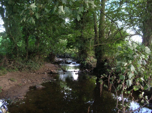
Crimple Beck

Crimple Beck or the River Crimple is a beck which flows through North Yorkshire, England. It is a tributary of the River Nidd which it joins between Little...

All Saints' Church, Kirk Deighton

All Saints Church is an Anglican church in the parish of Spofforth and Kirk Deighton in North Yorkshire, England. The church dates from the 11th century...

Nearby Amenities

Located within 500m of 53.962437,-1.3542703
Cowthorpe
Is In Country: UK
Is In County: North Yorkshire
Is In Historic County: Yorkshire
Is In Municipality: Harrogate
Place: hamlet
Source: npe
Undefined: GB
Wikidata: Q5179834
Wikipedia: en:Cowthorpe
Lat/Long: 53.9661279/-1.3507307
Post Box
Operator: Royal Mail
Post Box Type: lamp
Ref: LS22 460
Lat/Long: 53.9659452/-1.3512969
Bench
Lat/Long: 53.9635657/-1.3500764
Entrance: main
Lat/Long: 53.9627472/-1.3492769
The data included in this document is from www.openstreetmap.org. The data is made available under ODbL.

Have you been to Chapel Fields?

Leave your review of Chapel Fields below (or comments, questions and feedback).