Middlehill Down

Downs, Moorland in Berkshire Vale of White Horse

England

Middlehill Down

The Ridgeway by Yew Down
The Ridgeway by Yew Down Credit: Steve Daniels

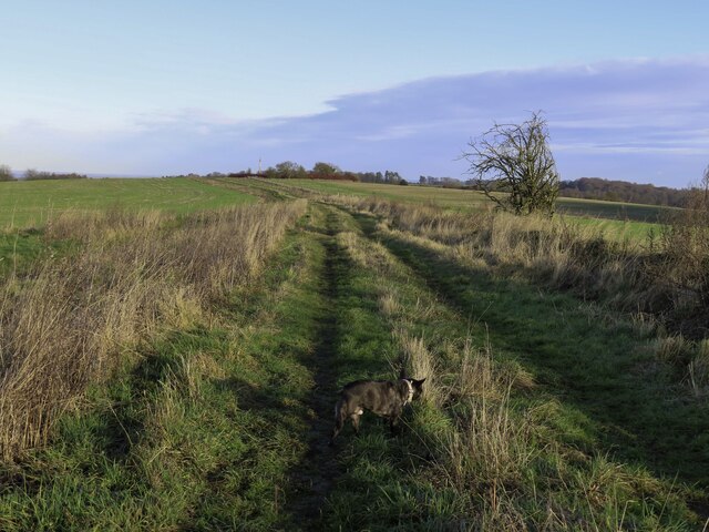
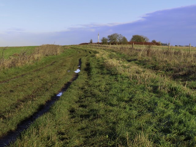
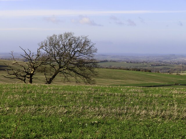
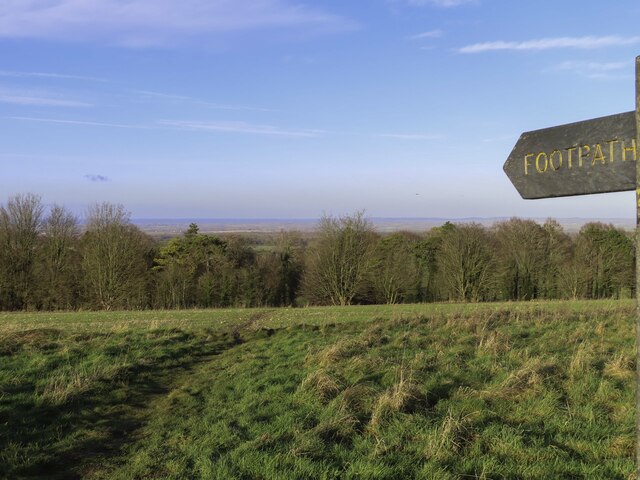
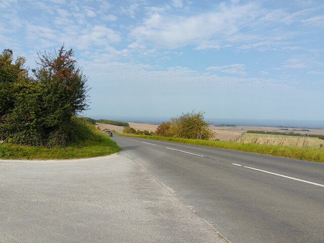
Middlehill Down is a prominent natural feature located in Berkshire, England. Situated on the southern edge of the county, it forms part of the Berkshire Downs, a range of chalk hills that extend across the area. This particular down is known for its stunning views and diverse landscapes, which include both open moorland and patches of woodland.

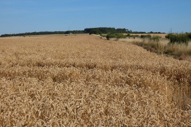
Covering an area of approximately 50 hectares, Middlehill Down boasts a rich biodiversity and is home to a variety of plants and wildlife. The open moorland areas are characterized by species such as heather, gorse, and bracken, which provide a vital habitat for numerous insects and birds. Additionally, the mix of grasses and flowering plants in the meadows support a wide range of butterflies and bees.

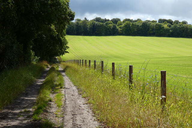
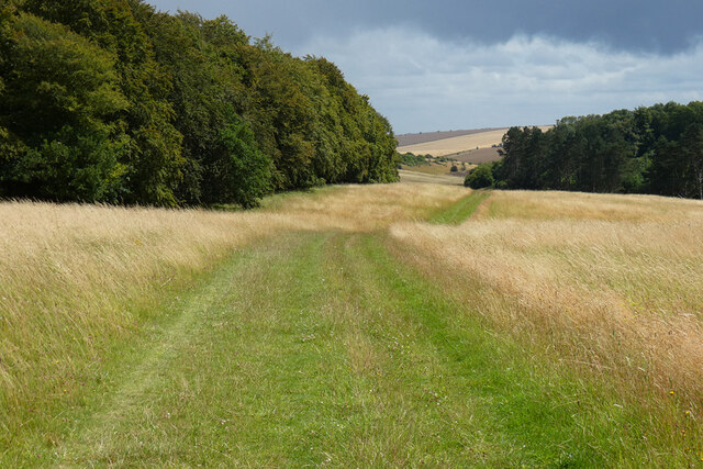
The down also features several wooded areas, consisting mainly of beech trees. These woodlands provide a shady retreat and a haven for woodland birds, such as woodpeckers and tawny owls. Walking trails crisscross the down, allowing visitors to explore the area and take in the stunning views across the surrounding countryside, including the nearby Ridgeway Path.

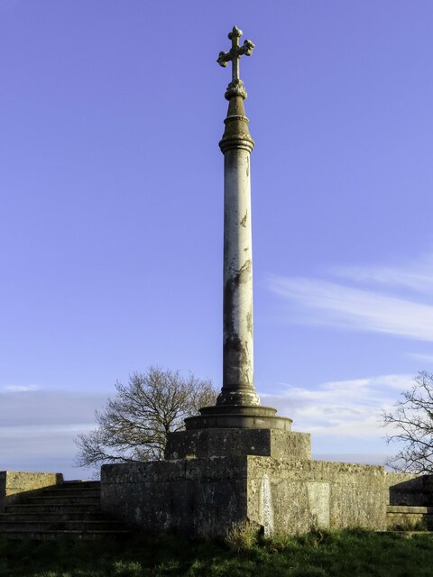
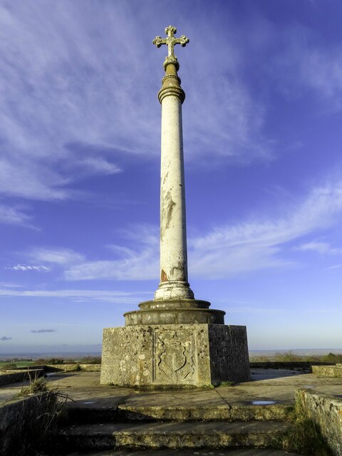
Middlehill Down is not only valued for its natural beauty but also for its historical significance. The area is scattered with ancient burial mounds, evidence of human activity dating back thousands of years. These archaeological sites add an extra layer of intrigue to the down, making it a fascinating destination for both nature enthusiasts and history buffs alike.

If you have any feedback on the listing, please let us know in the comments section below.

Middlehill Down Images

Images are sourced within 2km of 51.557002/-1.3978706 or Grid Reference SU4184. Thanks to Geograph Open Source API. All images are credited.

The Ridgeway by Yew Down
The Ridgeway above Wantage
Middlehill Down by the Ridgeway
The Lord Wantage memorial by the Ridgeway Lord Wantage was the first man to win a Victoria Cross in the Crimean War.
The Lord Wantage memorial by the Ridgeway
Lord Wantage was the first man to win a Victoria Cross in the Crimean War.
The Lord Wantage memorial Lord Wantage was the first man to win a Victoria Cross in the Crimean War.
The Lord Wantage memorial
Lord Wantage was the first man to win a Victoria Cross in the Crimean War.
Footpath to East Lockinge
The Lord Wantage memorial Lord Wantage was the first man to win a Victoria Cross in the Crimean War.
The Lord Wantage memorial
Lord Wantage was the first man to win a Victoria Cross in the Crimean War.
Farmland, Lockinge With straw being baled after the harvesting of winter barley.
Farmland, Lockinge
With straw being baled after the harvesting of winter barley.
Farmland, Lockinge After the harvesting of winter barley at Lockinge Kiln Farm, straw is being baled.
Farmland, Lockinge
After the harvesting of winter barley at Lockinge Kiln Farm, straw is being baled.
Farmland, Lockinge Looking down over wheat from the restricted byway to the west of Triangle Wood.
Farmland, Lockinge
Looking down over wheat from the restricted byway to the west of Triangle Wood.
Farmland, Lockinge
Farmland, Lockinge
Byway, copse and farmland, Wantage
Track and farmland, Lockinge Cut silage and the footpath climbing to the Ridgeway from Chalkhill Barn.
Track and farmland, Lockinge
Cut silage and the footpath climbing to the Ridgeway from Chalkhill Barn.
Woods and grassland, Ardington The restricted byway on Wether Down descending from the Ridgeway to Land's End.
Woods and grassland, Ardington
The restricted byway on Wether Down descending from the Ridgeway to Land's End.
Chain Hill (B4494) Viewed from the entrance to the car park for access to The Ridgeway.
Chain Hill (B4494)
Viewed from the entrance to the car park for access to The Ridgeway.
Middlehill Down from Chain Hill Farmland on Middlehill Down, viewed from Chain Hill.
Middlehill Down from Chain Hill
Farmland on Middlehill Down, viewed from Chain Hill.
Farmland, Wantage Beans beside a footpath to the north of the Ridgeway at White House Farm.
Farmland, Wantage
Beans beside a footpath to the north of the Ridgeway at White House Farm.
Wantage Monument Monument to Robert Loyd-Lindsay, Baron Wantage of Lockinge. Founder of the English Red Cross and the first man to win a VC in the Crimean War.
The monument sits above Wantage on the Ridgeway.
Wantage Monument
Monument to Robert Loyd-Lindsay, Baron Wantage of Lockinge. Founder of the English Red Cross and the first man to win a VC in the Crimean War. The monument sits above Wantage on the Ridgeway.
Show me another place!

Middlehill Down is located at Grid Ref: SU4184 (Lat: 51.557002, Lng: -1.3978706)

Administrative County: Oxfordshire

District: Vale of White Horse

Police Authority: Thames Valley

What 3 Words

///pacemaker.doors.taking. Near Farnborough, Berkshire

Nearby Locations

Middlehill Down

Related Wikis

Farnborough, Berkshire

Farnborough is a village and civil parish in West Berkshire, about 4 miles (6.4 km) south of Wantage. The village is 720 feet (220 m) above sea level on...

East Lockinge

East Lockinge is a village and former civil parish, now in the parish of Lockinge, in the Vale of White Horse district, in the county of Oxfordshire, England...

Chain Hill

Chain Hill is one of the hills of the North Wessex Downs, located in the civil parish of Wantage in the English county of Oxfordshire. In 1974 it was transferred...

Segsbury Camp

Segsbury Camp or Segsbury Castle is an Iron Age hillfort on the crest of the Berkshire Downs, near the Ridgeway above Wantage, in the Vale of White Horse...

Nearby Amenities

Located within 500m of 51.557002,-1.3978706
Ridgeway Path
Naptan AtcoCode: 340000635MON
Naptan Bearing: NW
Naptan BusStopType: CUS
Naptan CommonName: Ridgeway Path
Naptan Indicator: B4494 Northbound
Naptan Landmark: Monument
Naptan NaptanCode: oxfatajt
Naptan Street: B4494
Naptan Verified: no
Source: naptan_import
Lat/Long: 51.5544438/-1.3985704
Ridgeway Path
Naptan AtcoCode: 340000635SOU
Naptan Bearing: SE
Naptan BusStopType: CUS
Naptan CommonName: Ridgeway Path
Naptan Indicator: B4494 Southbound
Naptan Landmark: Monument
Naptan NaptanCode: oxfgmtmj
Naptan Street: B4494
Naptan Verified: no
Source: naptan_import
Lat/Long: 51.5545134/-1.3982847
The data included in this document is from www.openstreetmap.org. The data is made available under ODbL.

Have you been to Middlehill Down?

Leave your review of Middlehill Down below (or comments, questions and feedback).