Farnborough Down
Downs, Moorland in Berkshire
England
Farnborough Down

Farnborough Down is a picturesque area located in Berkshire, England. It is part of the larger Farnborough Downs, which encompass both downs and moorland landscapes. Situated in the southern part of the county, Farnborough Down offers breathtaking views and a peaceful atmosphere.
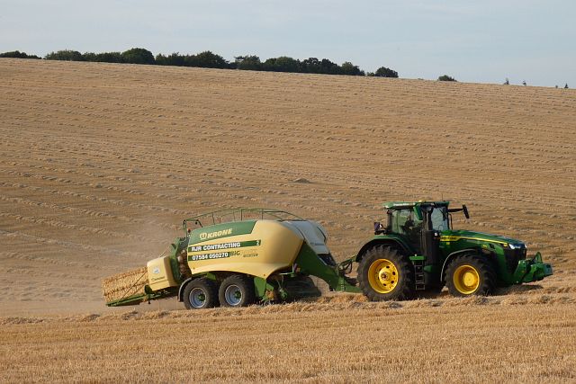
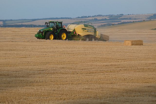
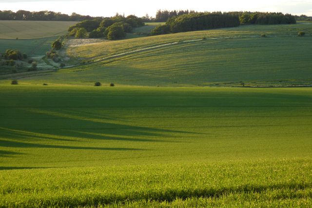
The downs of Farnborough are characterized by rolling hills covered in lush green grass and scattered patches of ancient woodland. The area is known for its diverse flora and fauna, with numerous wildflowers, grasses, and shrubs thriving in the rich soil. Visitors can often spot grazing livestock, such as sheep and cows, adding to the rural charm of the landscape.
In contrast to the downs, Farnborough Moorland is a wilder and more rugged terrain. It is characterized by heather-covered hills, rough grasses, and scattered gorse bushes. The moorland is a haven for birdwatchers, as it is home to various species such as skylarks, kestrels, and stonechats.
Farnborough Down offers a range of recreational activities for nature enthusiasts. There are numerous walking trails and footpaths, allowing visitors to explore the area at their own pace. The downs also provide an excellent location for picnics, with several designated areas offering stunning panoramic views.
The area's historical significance is evident in the presence of ancient burial mounds and archaeological sites, providing a fascinating insight into the region's past. Farnborough Down is a place where history, nature, and tranquility intertwine, making it an ideal destination for those seeking a peaceful retreat or an opportunity to connect with the beauty of the natural world.
If you have any feedback on the listing, please let us know in the comments section below.
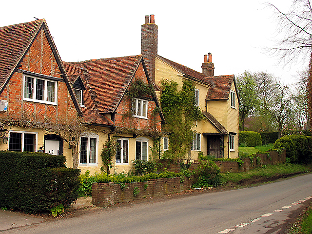
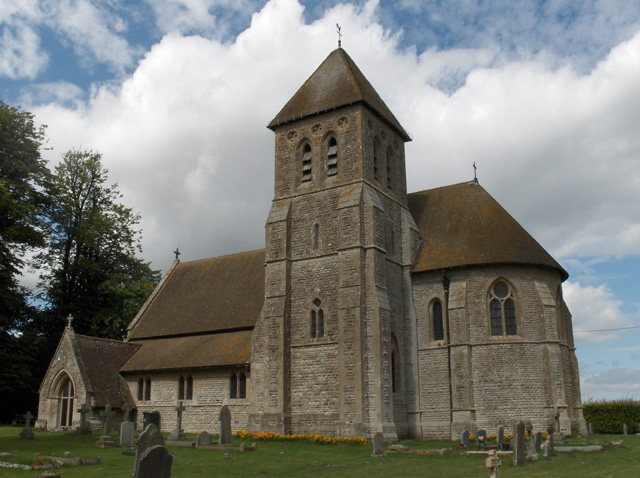
Farnborough Down Images
Images are sourced within 2km of 51.53531/-1.3988055 or Grid Reference SU4181. Thanks to Geograph Open Source API. All images are credited.


Farnborough Down is located at Grid Ref: SU4181 (Lat: 51.53531, Lng: -1.3988055)
Unitary Authority: West Berkshire
Police Authority: Thames Valley
What 3 Words
///lectured.shares.clays. Near Farnborough, Berkshire
Nearby Locations
Related Wikis
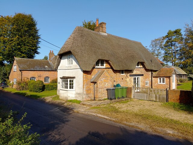
Farnborough, Berkshire
Farnborough is a village and civil parish in West Berkshire, about 4 miles (6.4 km) south of Wantage. The village is 720 feet (220 m) above sea level on...

Brightwalton
Brightwalton is a village and civil parish in the Berkshire Downs centred 7 miles (11 km) NNW of Newbury in West Berkshire. == Parish church == The Church...
Fawley, Berkshire
Fawley is a village and civil parish in West Berkshire, England. The hub of the village is centred 3.5 miles (5.6 km) east of Lambourn and has a sub-community...

Brightwalton Green
Brightwalton Green is a hamlet in the civil parish of Brightwalton in the county of Berkshire, England. The settlement lies near to the A338 road, and...
Have you been to Farnborough Down?
Leave your review of Farnborough Down below (or comments, questions and feedback).