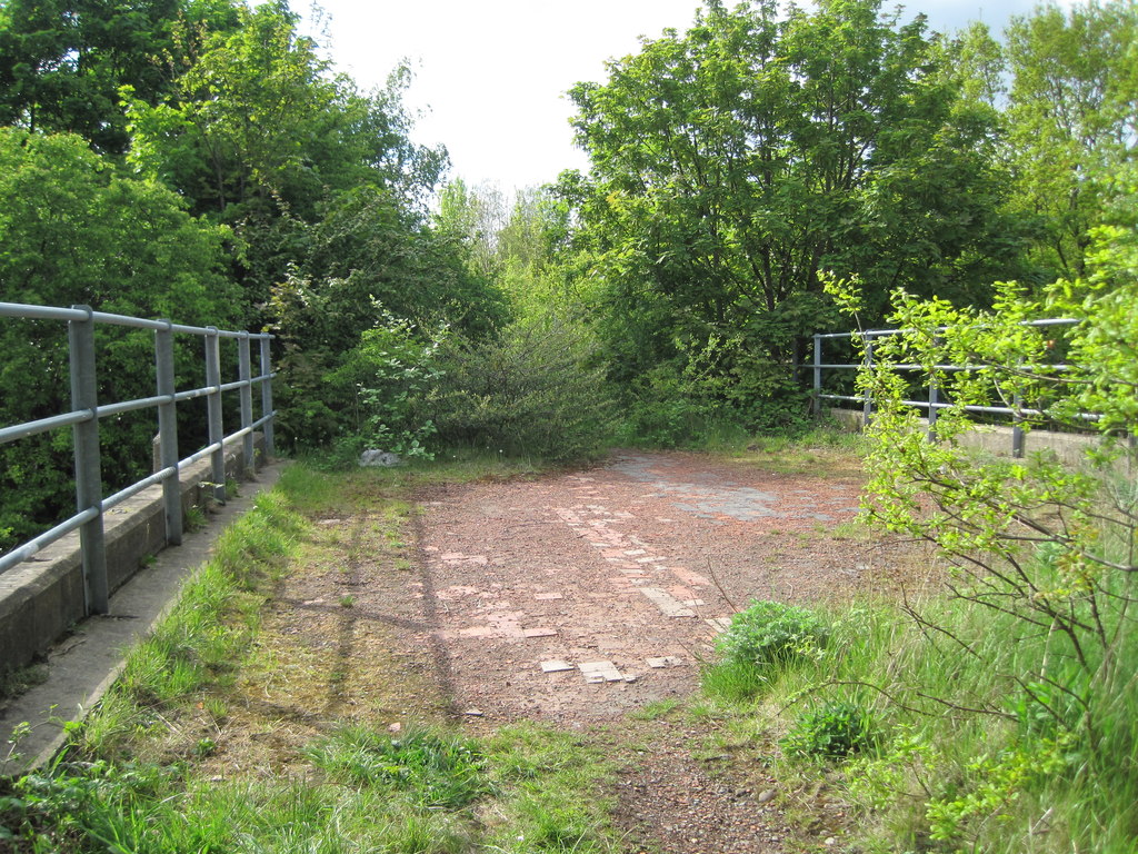
Ackton Pasture
Downs, Moorland in Yorkshire
England
Ackton Pasture
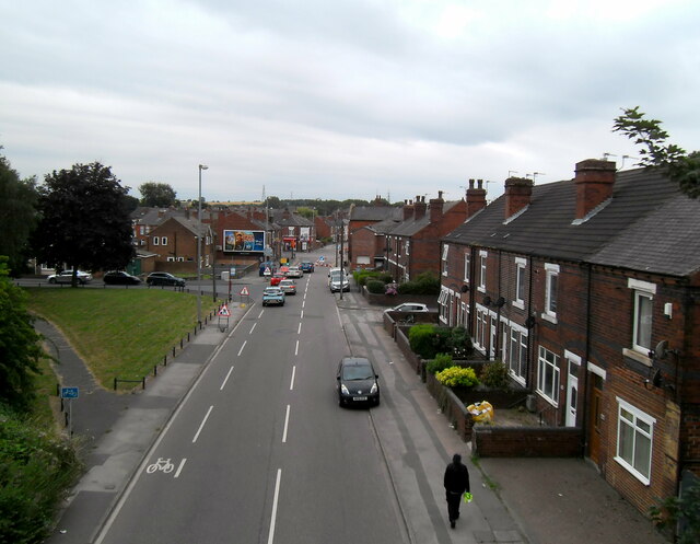
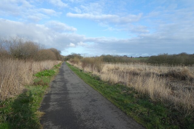
Ackton Pasture is a picturesque expanse of land located in Yorkshire, England. Situated on the outskirts of the village of Ackton, this area boasts stunning natural beauty, characterized by its rolling hills, expansive meadows, and rugged moorland. It is part of the renowned Yorkshire Downs, a range of low-lying hills and plateaus.
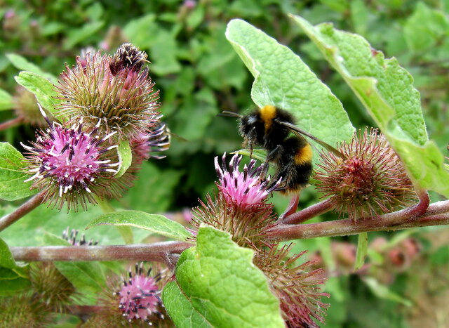
The landscape of Ackton Pasture is a haven for wildlife enthusiasts and nature lovers. The meadows are home to a diverse range of flora and fauna, including wildflowers, grazing sheep, and various species of birds. The moorland, with its heather-covered expanses, provides a unique habitat for rare bird species like the short-eared owl and the red grouse.
The area is also rich in history, with evidence of human occupation dating back to prehistoric times. Ruins of ancient settlements and burial mounds can be found scattered across the landscape, offering a glimpse into the area's past.
Ackton Pasture offers numerous recreational opportunities for visitors. Hiking and walking trails crisscross the area, providing breathtaking views of the surrounding countryside. The terrain is ideal for outdoor pursuits such as horseback riding and mountain biking, attracting adventure enthusiasts from far and wide.
With its unspoiled natural beauty, diverse wildlife, and historical significance, Ackton Pasture is a true gem in the heart of Yorkshire, offering a tranquil escape from the hustle and bustle of modern life.
If you have any feedback on the listing, please let us know in the comments section below.
Ackton Pasture Images
Images are sourced within 2km of 53.71114/-1.3729709 or Grid Reference SE4124. Thanks to Geograph Open Source API. All images are credited.


Ackton Pasture is located at Grid Ref: SE4124 (Lat: 53.71114, Lng: -1.3729709)
Division: West Riding
Unitary Authority: Wakefield
Police Authority: West Yorkshire
What 3 Words
///such.successes.bond. Near Castleford, West Yorkshire
Nearby Locations
Related Wikis
Castleford Cutsyke railway station
Castleford Cutsyke railway station served the Cutsyke of Castleford in West Yorkshire, England, from 1860 to 1968 on the Pontefract and Methley Junction...

Normanton, Pontefract and Castleford (UK Parliament constituency)
Normanton, Pontefract and Castleford is a constituency in West Yorkshire represented in the House of Commons of the UK Parliament by Yvette Cooper of the...
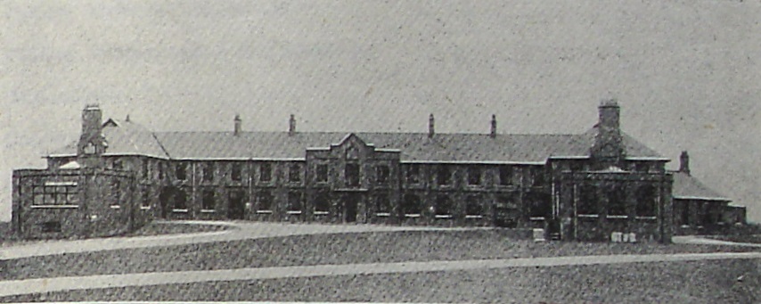
Castleford, Normanton and District Hospital
The Castleford, Normanton and District Hospital was a health facility in Lumley Street, Castleford, West Yorkshire, England. It was managed by South West...

Savile Park
Savile Park Cricket Ground on Lumley Street in Castleford held a list A limited overs game in May 1967 when Yorkshire CCC played Cambridgeshire in the...

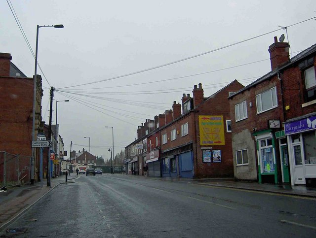
Castleford
Castleford is a town within the City of Wakefield district, West Yorkshire, England. It had a population of 45,106 at a 2021 population estimate. Historically...
Featherstone
Featherstone is a town and civil parish in the City of Wakefield, West Yorkshire, England, two miles south-west of Pontefract. Historically part of the...
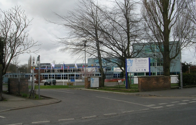
St Wilfrid's Catholic High School, North Featherstone
St Wilfrid's Catholic High School is a mixed secondary school and sixth form with academy status located in Featherstone, West Yorkshire, England. It has...

Castleford bus station
Castleford Bus Station serves the town of Castleford, West Yorkshire, England. The bus station is owned and managed by West Yorkshire Metro. The bus station...
Nearby Amenities
Located within 500m of 53.71114,-1.3729709Have you been to Ackton Pasture?
Leave your review of Ackton Pasture below (or comments, questions and feedback).