Chilton Green

Downs, Moorland in Hampshire

England

Chilton Green

Brighstone revisited (1) Pub lunchers on a summer's day
Brighstone revisited (1) Credit: Basher Eyre

Chilton Green is a picturesque village located in the county of Hampshire, England. Situated on the edge of the South Downs National Park, it is known for its stunning natural beauty and diverse landscape that encompasses both downs and moorland.

The village is nestled amidst rolling hills and green fields, offering breathtaking panoramic views of the surrounding countryside. The South Downs, a range of chalk hills stretching across the county, provide a dramatic backdrop to the village. The downs are characterized by their gentle slopes, chalk grassland, and vibrant wildflowers, creating a haven for wildlife and nature enthusiasts.

In addition to the downs, Chilton Green is also home to extensive moorland, which adds to its unique charm. Moorland is characterized by its open and expansive landscape, dominated by heather and gorse, and dotted with scattered trees and shrubs. This diverse habitat attracts a wide range of bird species, making it a popular destination for birdwatchers.

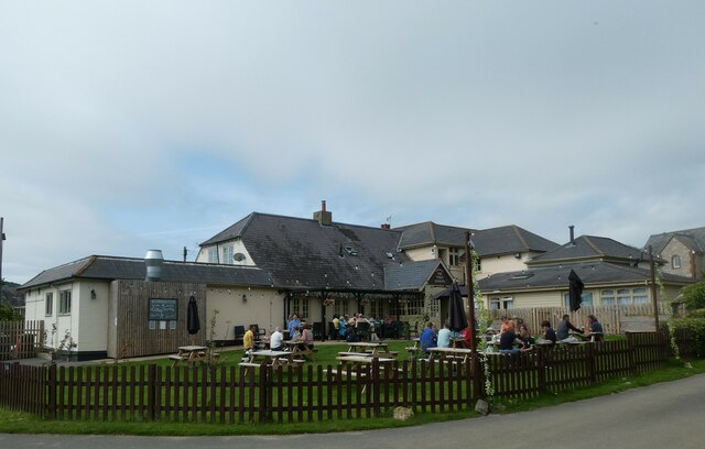
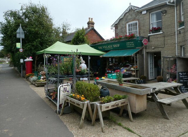
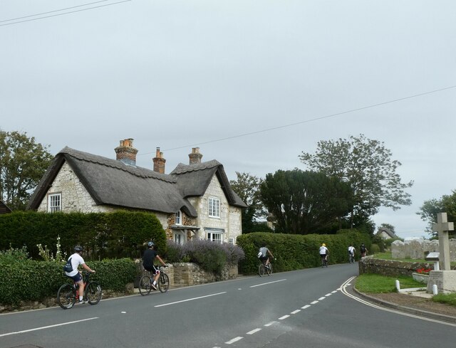
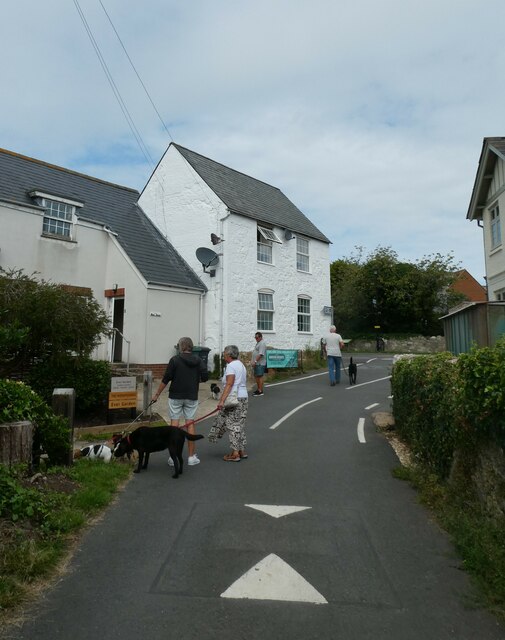
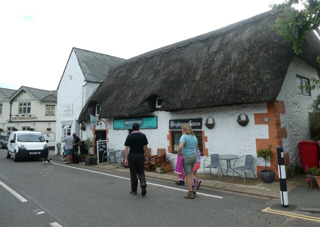
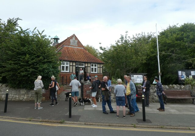
The village itself is small and quaint, with a close-knit community that cherishes its rural charm. It boasts a traditional village green, complete with a cricket pitch, where locals gather for friendly matches on warm summer days. The village also has a few local amenities, including a cozy pub and a small convenience store.

Chilton Green, Hampshire, offers a peaceful and idyllic setting for those seeking a rural escape. Its unique blend of downs and moorland, coupled with its friendly community, makes it a hidden gem in the heart of the English countryside.

If you have any feedback on the listing, please let us know in the comments section below.

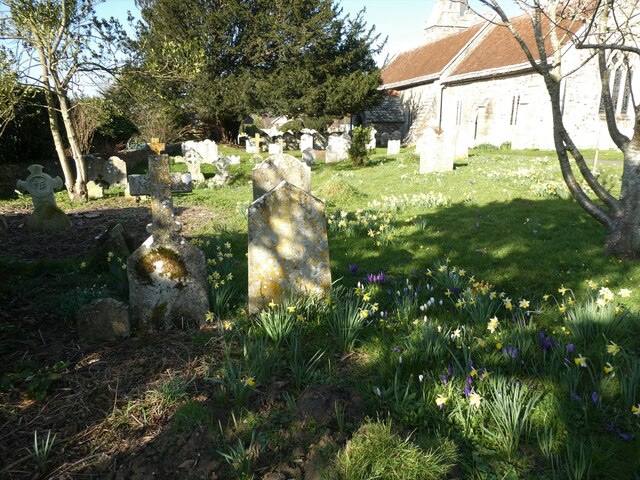
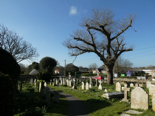
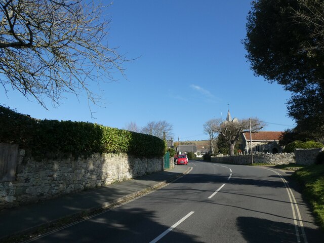
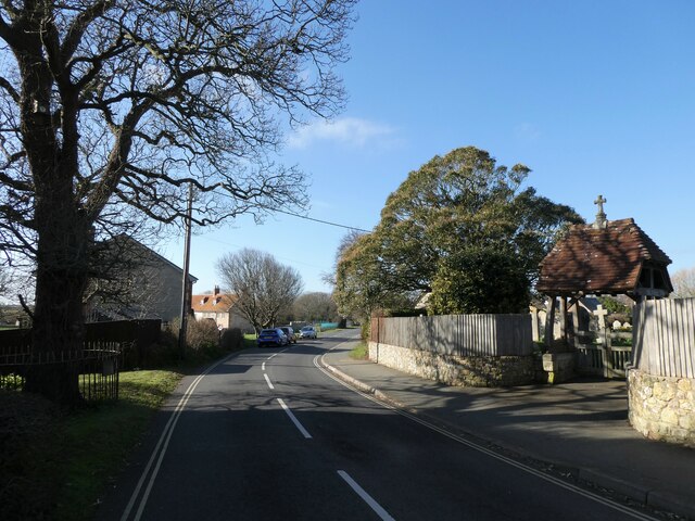
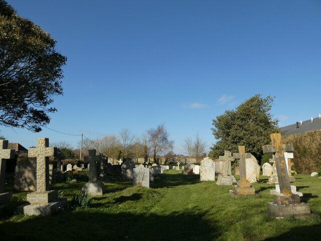
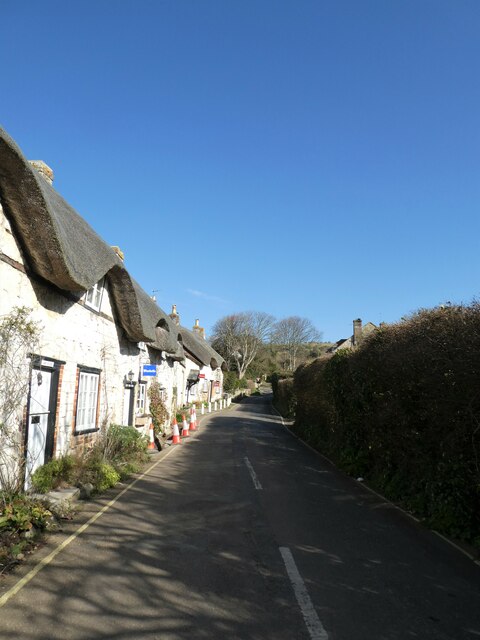
Chilton Green Images

Images are sourced within 2km of 50.641074/-1.4187825 or Grid Reference SZ4182. Thanks to Geograph Open Source API. All images are credited.

Brighstone revisited (1) Pub lunchers on a summer's day
Brighstone revisited (1)
Pub lunchers on a summer's day
Brighstone revisited (2) The Village Shop
Brighstone revisited (2)
The Village Shop
Brighstone revisited (3) Outside Brighstone Shop- although to be totally accurate for THIS summer a brolly and mac would need inclusion!
Brighstone revisited (3)
Outside Brighstone Shop- although to be totally accurate for THIS summer a brolly and mac would need inclusion!
Brighstone revisited (4) Brighstone Churchyard
Brighstone revisited (4)
Brighstone Churchyard
Brighstone revisited (5) Cyclists on the main road
Brighstone revisited (5)
Cyclists on the main road
Brighstone revisited (6) Pedestrian access to the primary school
Brighstone revisited (6)
Pedestrian access to the primary school
Brighstone revisited (7) Public toilets in the car park
Brighstone revisited (7)
Public toilets in the car park
Brighstone revisited (8) Walking the dog in Warnes Lane
Brighstone revisited (8)
Walking the dog in Warnes Lane
Brighstone revisited (10) A busy scene in Main Road
Brighstone revisited (10)
A busy scene in Main Road
Brighstone revisited (11) A busy scene at the village hall- a traffic consultation
Brighstone revisited (11)
A busy scene at the village hall- a traffic consultation
Brighstone revisited (12)
Spring in Brighstone Churchyard (a)
Spring in Brighstone Churchyard (b)
Spring in Brighstone Churchyard (c)
Looking north-east along New Road
New Road in the late February sunshine
New Road Cemetery: late February 2022
Looking from Main Road into North Street
Show me another place!

Chilton Green is located at Grid Ref: SZ4182 (Lat: 50.641074, Lng: -1.4187825)

Unitary Authority: Isle of Wight

Police Authority: Hampshire

What 3 Words

///laminated.crackled.buffoon. Near Brighstone, Isle of Wight

Related Wikis

Buddle Brook

Buddle Brook a small river on the Isle of Wight, England. The Brook drains water from the southern side of Brighstone Down and as far to the east as the...

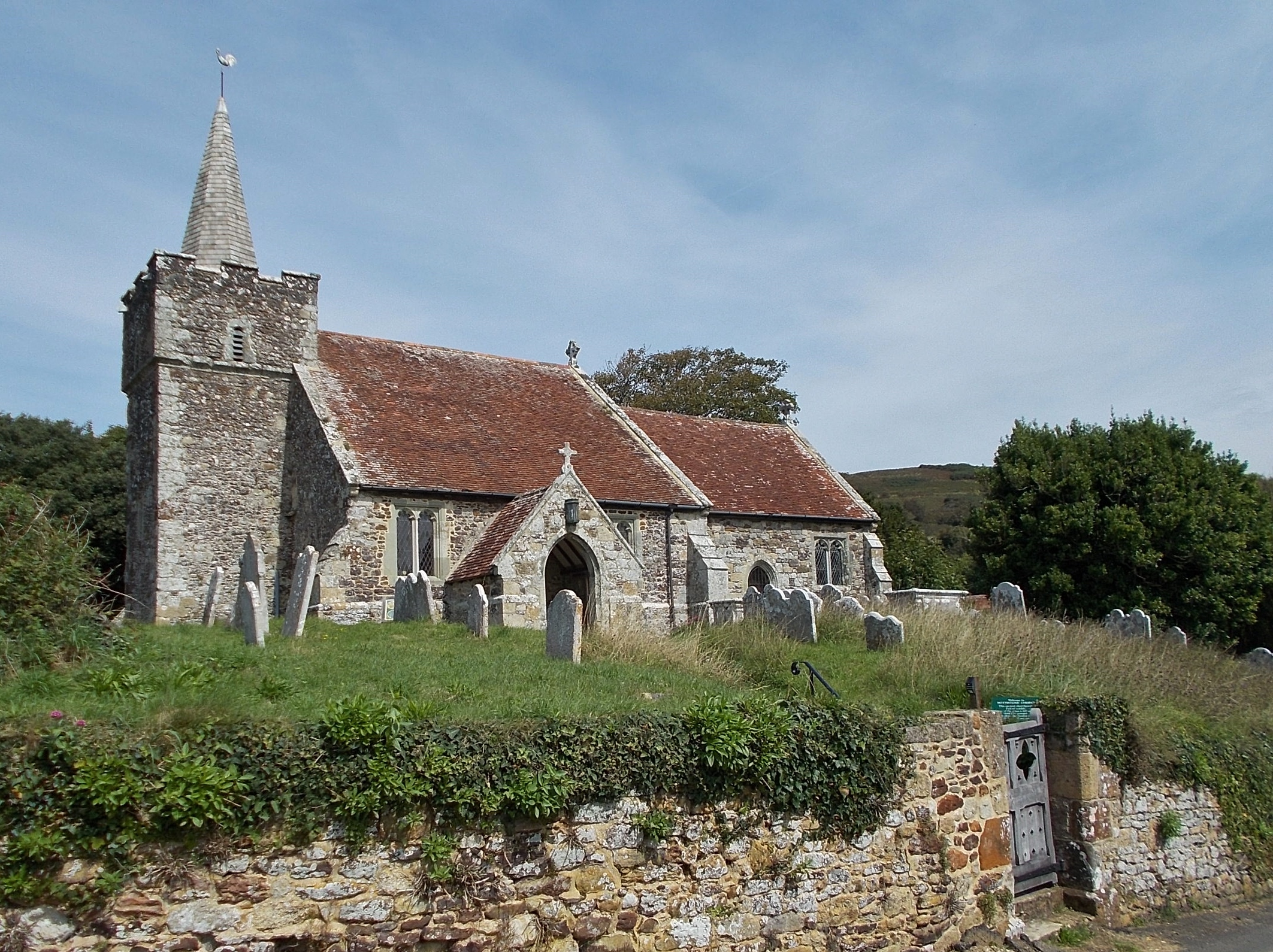
St Peter and St Paul's Church, Mottistone

St Peter and St Paul's Church is a parish church in the Church of England in the village of Mottistone, Isle of Wight. It is a Grade I listed building...

Mottistone

Mottistone is a village and former civil parish, now in the parish of Brighstone, on the Isle of Wight, England. It is located in the popular tourist area...

Brighstone

Brighstone is a village and civil parish on the Isle of Wight, 6 miles southwest of Newport on the B3399 road. Brighstone was previously known as "Brixton...

Mottistone Manor

Mottistone Manor is a National Trust property in the village of Mottistone on the Isle of Wight, England. It has popular gardens and is a listed building...

Moortown, Isle of Wight

Moortown is a part of Brighstone on the west side of the Isle of Wight. The area is known as the Back of the Wight. Previously, the only form of public...

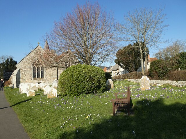
St Mary's Church, Brighstone

St. Mary's Church is a parish church in the Church of England located in Brighstone, Isle of Wight. The churchyard contains a memorial stone to George...

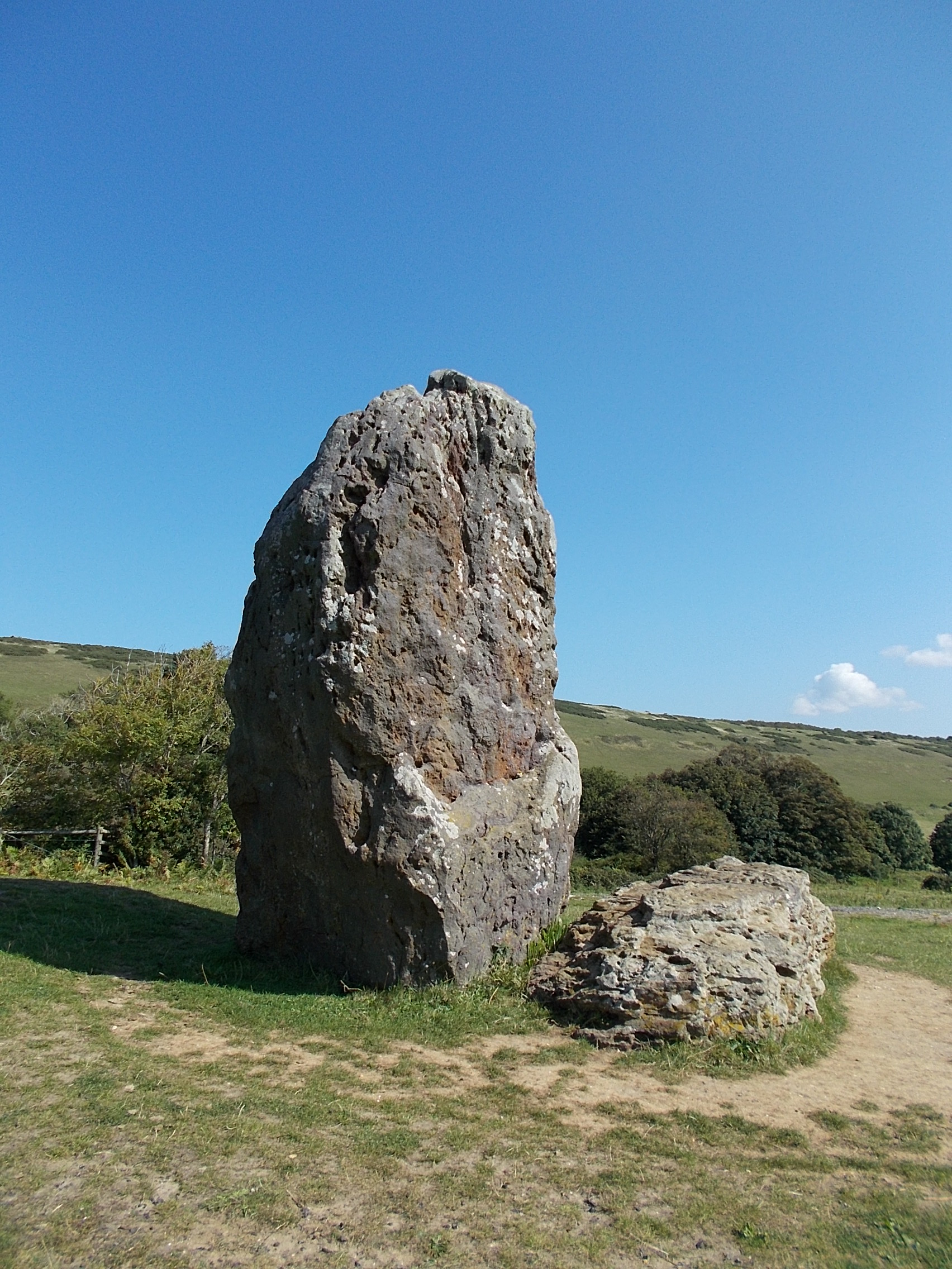
The Longstone, Mottistone

The Longstone is a megalithic monument near the village of Mottistone, close to the south west coast of the Isle of Wight. It is the only megalithic monument...

Nearby Amenities

Located within 500m of 50.641074,-1.4187825
Source: PGS
Lat/Long: 50.6367602/-1.4201789
Source: Bing
Lat/Long: 50.6370455/-1.4210718
Source: PGS
Lat/Long: 50.6373025/-1.4221899
Ele: 150ft
Man Made: survey_point
Source: Locally rectified NPE map
Lat/Long: 50.6434927/-1.4222816
Barrier: stile
Foot: yes
Source: Locally rectified NPE map
Lat/Long: 50.63977/-1.4179771
Source: Locally rectified NPE map
Lat/Long: 50.6434295/-1.4180844
Source: Locally rectified NPE map
Lat/Long: 50.6440285/-1.4190421
Source: Locally rectified NPE map
Lat/Long: 50.6444501/-1.4197645
Source: Locally rectified NPE map
Lat/Long: 50.6447062/-1.4211446
Source: Bing
Lat/Long: 50.6376052/-1.4226472
Source: Bing
Lat/Long: 50.637443/-1.4228638
Source: Bing
Lat/Long: 50.638109/-1.4235328
Bus Stop
IW Pearl
Bus: yes
Contact Website: https://www.islandbuses.info/stops/230000011650
Naptan AtcoCode: 230000011650
Naptan Bearing: SE
Naptan CommonName: IW Pearl
Naptan Indicator: towards Blackgang
Naptan NaptanCode: iowjmdw
Public Transport: platform
Shelter: no
Source: naptan_import
Lat/Long: 50.6390567/-1.4219817
Bus Stop
IW Pearl
Bus: yes
Contact Website: https://www.islandbuses.info/stops/230000011660
Naptan AtcoCode: 230000011660
Naptan Bearing: NW
Naptan CommonName: IW Pearl
Naptan Indicator: towards Freshwater Bay
Naptan NaptanCode: iowjmga
Public Transport: platform
Shelter: no
Lat/Long: 50.6389571/-1.4220533
Chilton Green
Place: hamlet
Source: OS_OpenData_StreetView
Lat/Long: 50.6412265/-1.4186128
Bicycle Parking
Lat/Long: 50.6387619/-1.4218175
Hiking: yes
Information: guidepost
Tourism: information
Lat/Long: 50.6388538/-1.421615
Hiking: yes
Information: guidepost
Tourism: information
Lat/Long: 50.6382967/-1.4190528
Chilton Chine
Place: locality
Lat/Long: 50.638032/-1.4222614
Cafe
Isle of Wight Pearl Cafe
Addr City: Brighstone
Addr Country: GB
Addr Postcode: PO30 4DD
Addr Street: Military Road
Fhrs Id: 540392
Lat/Long: 50.6380585/-1.4206924
Isle of Wight Pearl
Addr City: Brighstone
Addr Country: GB
Addr Housename: Isle of Wight Pearl
Addr Postcode: PO30 4DD
Addr Street: Military Road
Contact Email: info@iowpearl.com
Contact Phone: +44 1983 740 352
Contact Website: https://www.iowpearl.com/
Shop: jewelry
Lat/Long: 50.6381283/-1.4208305
Chilton Farm shop
Addr Country: GB
Addr County: Isle of Wight
Addr Street: Chilton Lane
Shop: farm
Source: Bing
Lat/Long: 50.6403839/-1.4170298
Parking Space
Parking Space: disabled
Lat/Long: 50.6381678/-1.4205317
Parking Space
Parking Space: disabled
Lat/Long: 50.6381524/-1.4204984
Parking Space
Parking Space: disabled
Lat/Long: 50.6381338/-1.4204583
Parking Space
Parking Space: disabled
Lat/Long: 50.6381848/-1.4205683
The data included in this document is from www.openstreetmap.org. The data is made available under ODbL.

Have you been to Chilton Green?

Leave your review of Chilton Green below (or comments, questions and feedback).