Bramley Moor

Downs, Moorland in Derbyshire North East Derbyshire

England

Bramley Moor

Landing strip. Small airfield near Summerley.
Landing strip. Credit: steven ruffles

Bramley Moor is a picturesque area located in Derbyshire, England. Situated in the heart of the Peak District National Park, it is renowned for its stunning natural beauty, characterized by rolling hills, wide open spaces, and a diverse range of flora and fauna.

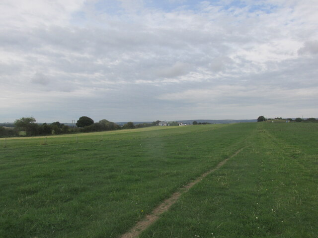
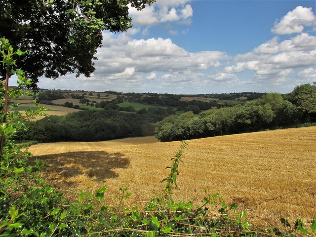
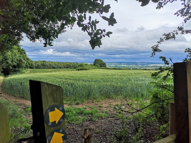
Covering an extensive area, Bramley Moor offers an idyllic setting for outdoor enthusiasts and nature lovers alike. The moorland is predominantly composed of heather, grasses, and scattered trees, creating a rich tapestry of colors throughout the seasons. The terrain is undulating, with some areas featuring steep slopes and rocky outcrops, adding to its dramatic appeal.

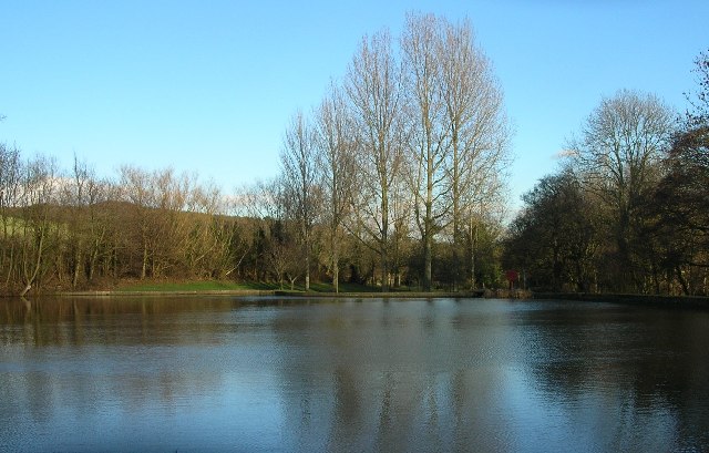
The wildlife in Bramley Moor is abundant and varied. The moorland provides a habitat for numerous bird species, including skylarks, curlews, and grouse, making it a popular destination for birdwatching. Additionally, visitors may spot mammals such as hares, foxes, and deer, which roam freely across the expansive landscape.

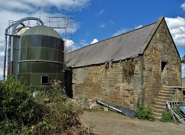
In addition to its natural splendor, Bramley Moor has historical significance. The area was once used for lead mining, with remnants of old mine shafts and buildings still visible today. These remnants serve as a reminder of the region's industrial past.

Bramley Moor offers a range of recreational activities for visitors to enjoy. Hiking and walking trails crisscross the moorland, providing opportunities to explore the area's natural wonders. Cyclists can also take advantage of the off-road tracks that wind through the landscape.

Overall, Bramley Moor is a captivating destination that showcases the beauty of Derbyshire's countryside. Its combination of rugged moorland, diverse wildlife, and rich history make it a must-visit location for those seeking to immerse themselves in nature.

If you have any feedback on the listing, please let us know in the comments section below.
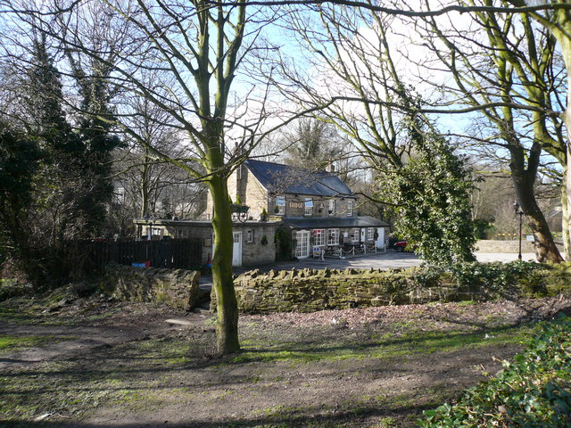
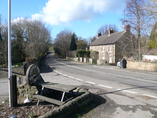
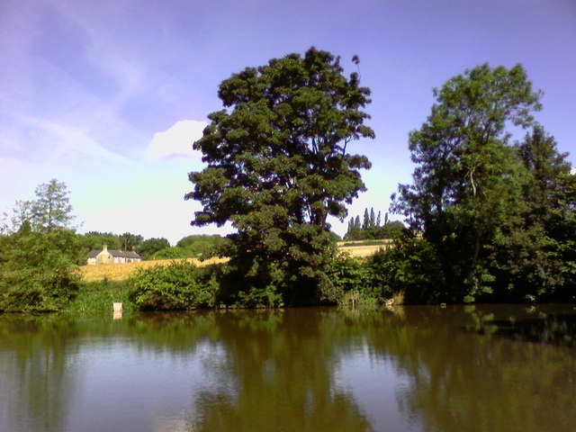
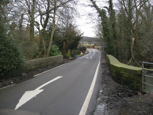
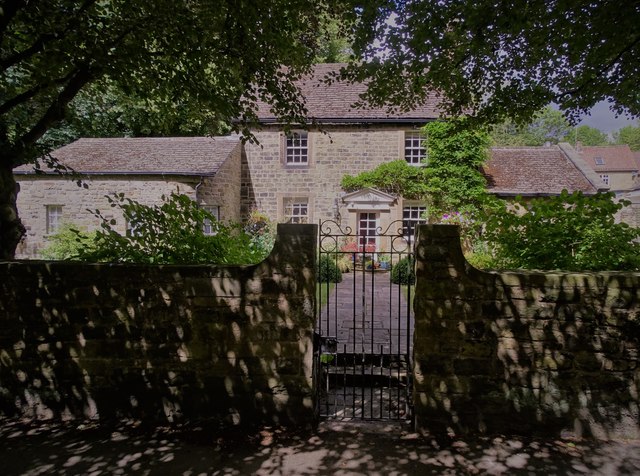
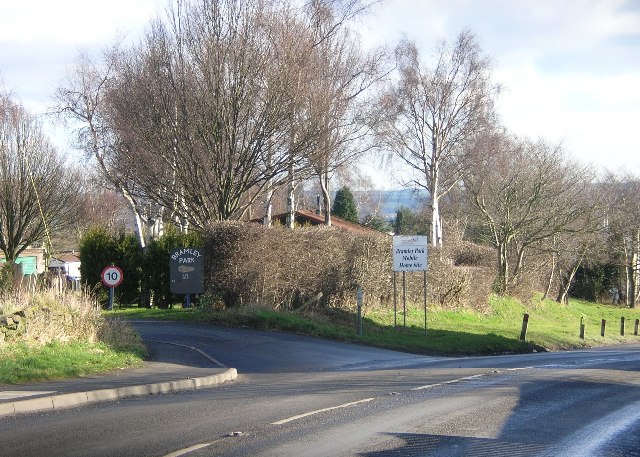
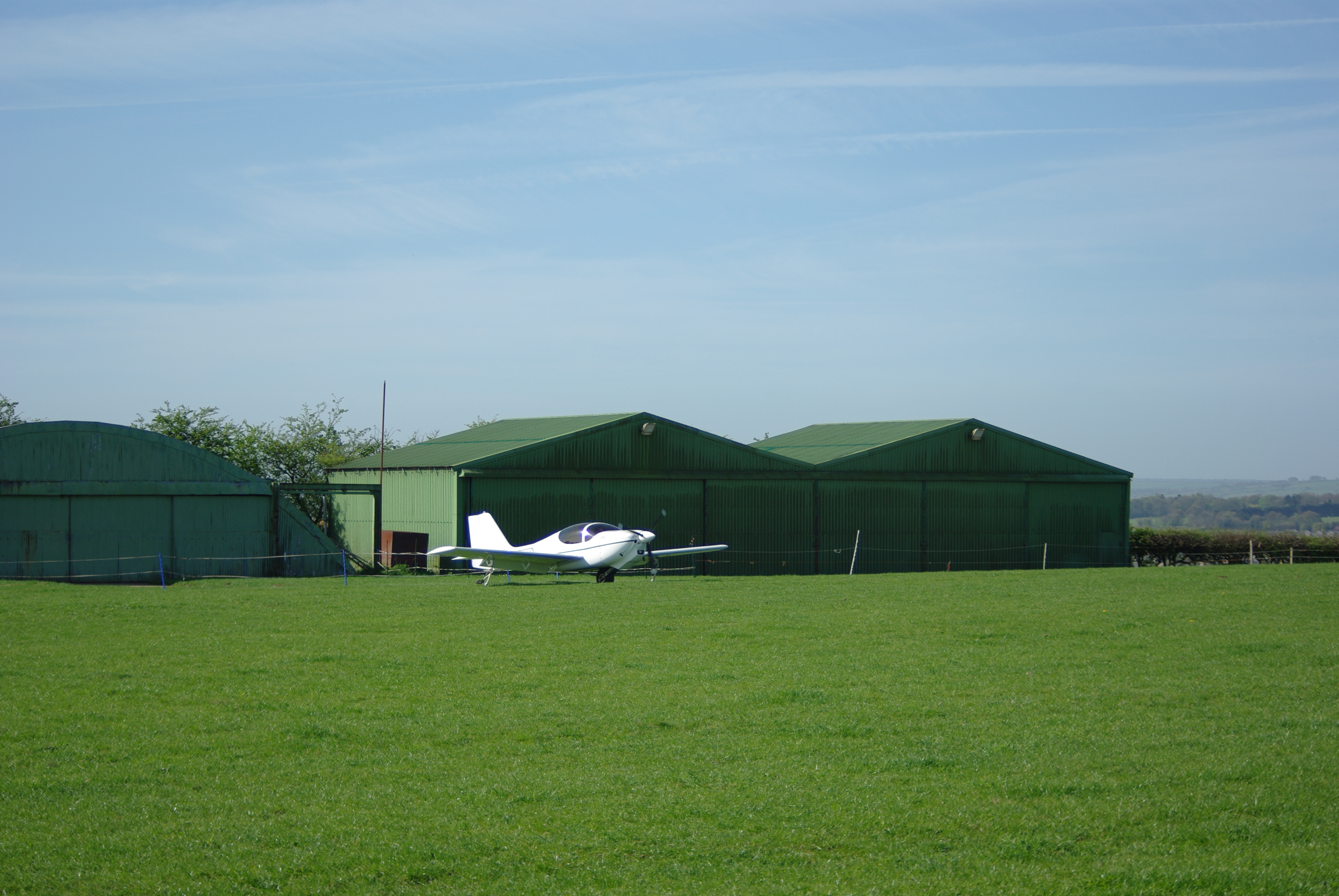
Bramley Moor Images

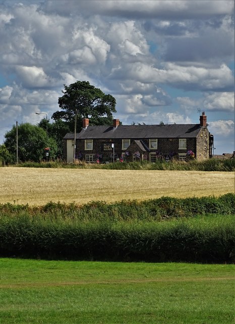
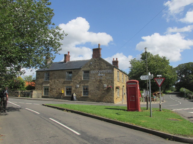
Images are sourced within 2km of 53.306368/-1.4064523 or Grid Reference SK3978. Thanks to Geograph Open Source API. All images are credited.

Landing strip. Small airfield near Summerley.
Landing strip.
Small airfield near Summerley.
View to "The Fox and Hounds", Marsh Lane
At Bramley Farm, Bramley near Marsh Lane
The Devonshire arms. Middle Hanley.
The Devonshire arms.
Middle Hanley.
The Moss valley. Lovely walking area.
The Moss valley.
Lovely walking area.
Cattle in field at Bramley
View east from Bramley
Ford Dam at Ridgeway, Nr Sheffield.
Sloade Lane - Junction with Ridgeway Moor
Ridgeway Moor - View towards Sloade Lane
Ford - The Bridge Inn
Ford Lane - View towards Geer Lane Bridge Inn car park entrance on left corner of picture.
Ford Lane - View towards Geer Lane
Bridge Inn car park entrance on left corner of picture.
Ford Dam A beautiful sunny day in July. I took this during a guided walk around the Moss Valley. I highly recommend a visit.
Ford Dam
A beautiful sunny day in July. I took this during a guided walk around the Moss Valley. I highly recommend a visit.
Neverfear Dam - Dog on a Log Dam name identified more accurately.
Neverfear Dam - Dog on a Log
Dam name identified more accurately.
Ford - Ford Lane Narrow bridge.
Ford - Ford Lane
Narrow bridge.
The Dam at Ford One of several dams situated along the course of the Moss valley. The river has been harnessed for water power for many centuries, with industrial activity traditionally centred around the art of forging and grinding sickles. Thomas Cowley was an early 17th century sicklesmith who lived in nearby Ford, while later families such as the Turners and Staniforths also carried on this tradition. This picture was taken on a bright afternoon in mid August.
The Dam at Ford
One of several dams situated along the course of the Moss valley. The river has been harnessed for water power for many centuries, with industrial activity traditionally centred around the art of forging and grinding sickles. Thomas Cowley was an early 17th century sicklesmith who lived in nearby Ford, while later families such as the Turners and Staniforths also carried on this tradition. This picture was taken on a bright afternoon in mid August.
Tree reflections in Ford Dam In the Moss Valley on the Sheffield/Derbyshire border.
Tree reflections in Ford Dam
In the Moss Valley on the Sheffield/Derbyshire border.
House at Ford
House at Ford
Show me another place!

Bramley Moor is located at Grid Ref: SK3978 (Lat: 53.306368, Lng: -1.4064523)

Administrative County: Derbyshire

District: North East Derbyshire

Police Authority: Derbyshire

What 3 Words

///begin.index.wounds. Near Dronfield, Derbyshire

Related Wikis

Nearby Amenities

Located within 500m of 53.306368,-1.4064523
Bus Stop
Bus: yes
Ele: 203.0000000
Public Transport: platform
Lat/Long: 53.3049023/-1.4005158
Parking
Description: Patch of gravel
Ele: 208.0000000
Lat/Long: 53.3054793/-1.4024791
Ele: 208.0000000
Lat/Long: 53.3053639/-1.4023289
Ele: 208.0000000
Lat/Long: 53.3055049/-1.4026615
Ele: 192.0000000
Lat/Long: 53.3056318/-1.4052909
Barrier: stile
Lat/Long: 53.3094859/-1.4053845
Bus Stop
Bus: yes
Ele: 213.0000000
Public Transport: platform
Lat/Long: 53.3044909/-1.4014893
Barrier: stile
Lat/Long: 53.3093458/-1.4010746
Barrier: stile
Lat/Long: 53.3090978/-1.4078782
Barrier: stile
Lat/Long: 53.3093586/-1.4018977
Barrier: stile
Lat/Long: 53.3095459/-1.404966
Barrier: stile
Lat/Long: 53.3089701/-1.4090169
Barrier: stile
Lat/Long: 53.3089282/-1.4096486
Barrier: stile
Lat/Long: 53.3089855/-1.4108503
Barrier: stile
Lat/Long: 53.3090869/-1.4123205
The data included in this document is from www.openstreetmap.org. The data is made available under ODbL.

Have you been to Bramley Moor?

Leave your review of Bramley Moor below (or comments, questions and feedback).