Letcombe Regis Field
Downs, Moorland in Berkshire Vale of White Horse
England
Letcombe Regis Field
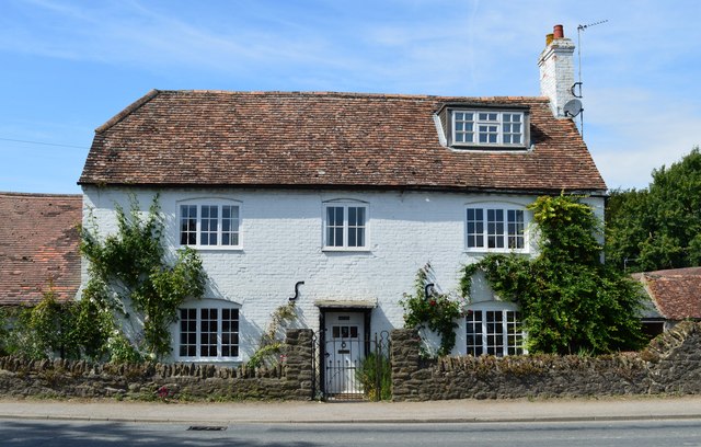
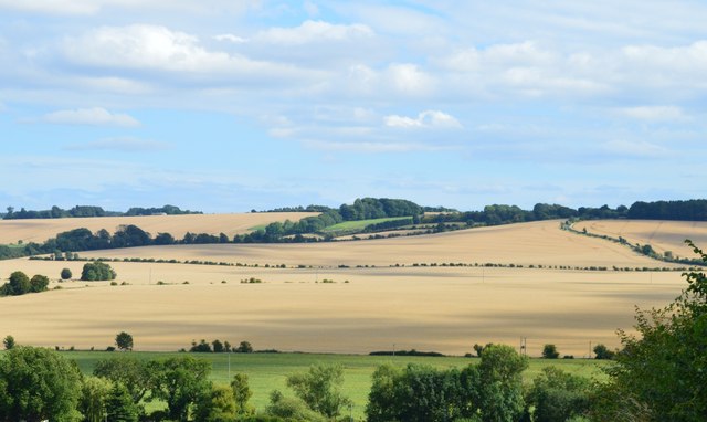
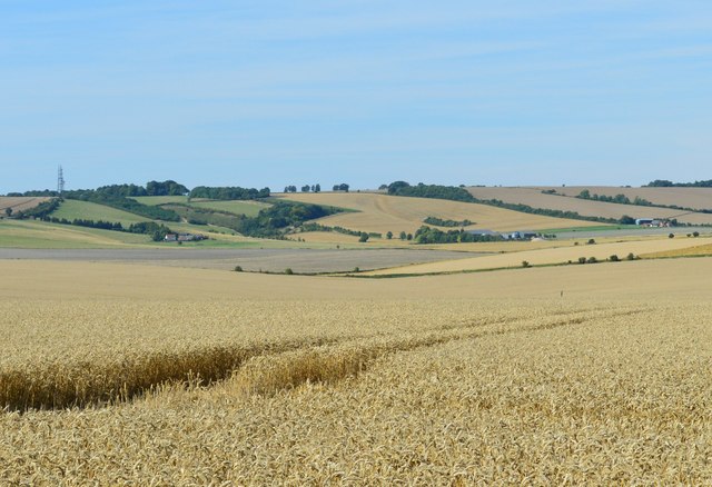
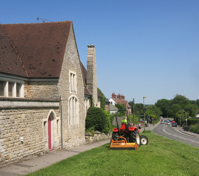
Letcombe Regis Field is a stunning natural landscape located in Berkshire, England. Situated in the heart of the Downs, the field boasts an impressive expanse of moorland that stretches for miles. The area is known for its picturesque beauty and diverse wildlife, making it a popular destination for nature enthusiasts and outdoor enthusiasts alike.
The field is characterized by its rolling hills and vast open spaces, offering visitors the opportunity to immerse themselves in the tranquility of the countryside. The moorland is adorned with an array of wildflowers, creating a vibrant and colorful tapestry during the spring and summer months.
The field is home to a variety of wildlife, including rabbits, deer, and a plethora of bird species. Birdwatchers flock to Letcombe Regis Field to catch a glimpse of rare and migratory birds that make their home in the area.
The field is also a haven for hikers and walkers, with a network of well-marked trails that wind through the landscape. These paths provide breathtaking views of the surrounding countryside, making it an ideal location for a leisurely stroll or a challenging hike.
Letcombe Regis Field is a cherished part of the local community, and efforts have been made to preserve its natural beauty and protect its wildlife. Visitors are encouraged to respect the environment and adhere to any guidelines or regulations put in place to safeguard the field's delicate ecosystem.
Overall, Letcombe Regis Field offers a captivating blend of natural beauty, wildlife, and outdoor activities, making it a must-visit destination for anyone seeking to connect with nature in Berkshire.
If you have any feedback on the listing, please let us know in the comments section below.
Letcombe Regis Field Images
Images are sourced within 2km of 51.575859/-1.4439716 or Grid Reference SU3886. Thanks to Geograph Open Source API. All images are credited.


Letcombe Regis Field is located at Grid Ref: SU3886 (Lat: 51.575859, Lng: -1.4439716)
Administrative County: Oxfordshire
District: Vale of White Horse
Police Authority: Thames Valley
What 3 Words
///cracking.worms.belt. Near Wantage, Oxfordshire
Nearby Locations
Related Wikis

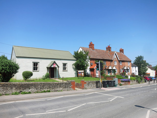
Letcombe Regis
Letcombe Regis is a village and civil parish in the Vale of White Horse. It was part of Berkshire until the 1974 boundary changes transferred the Vale...
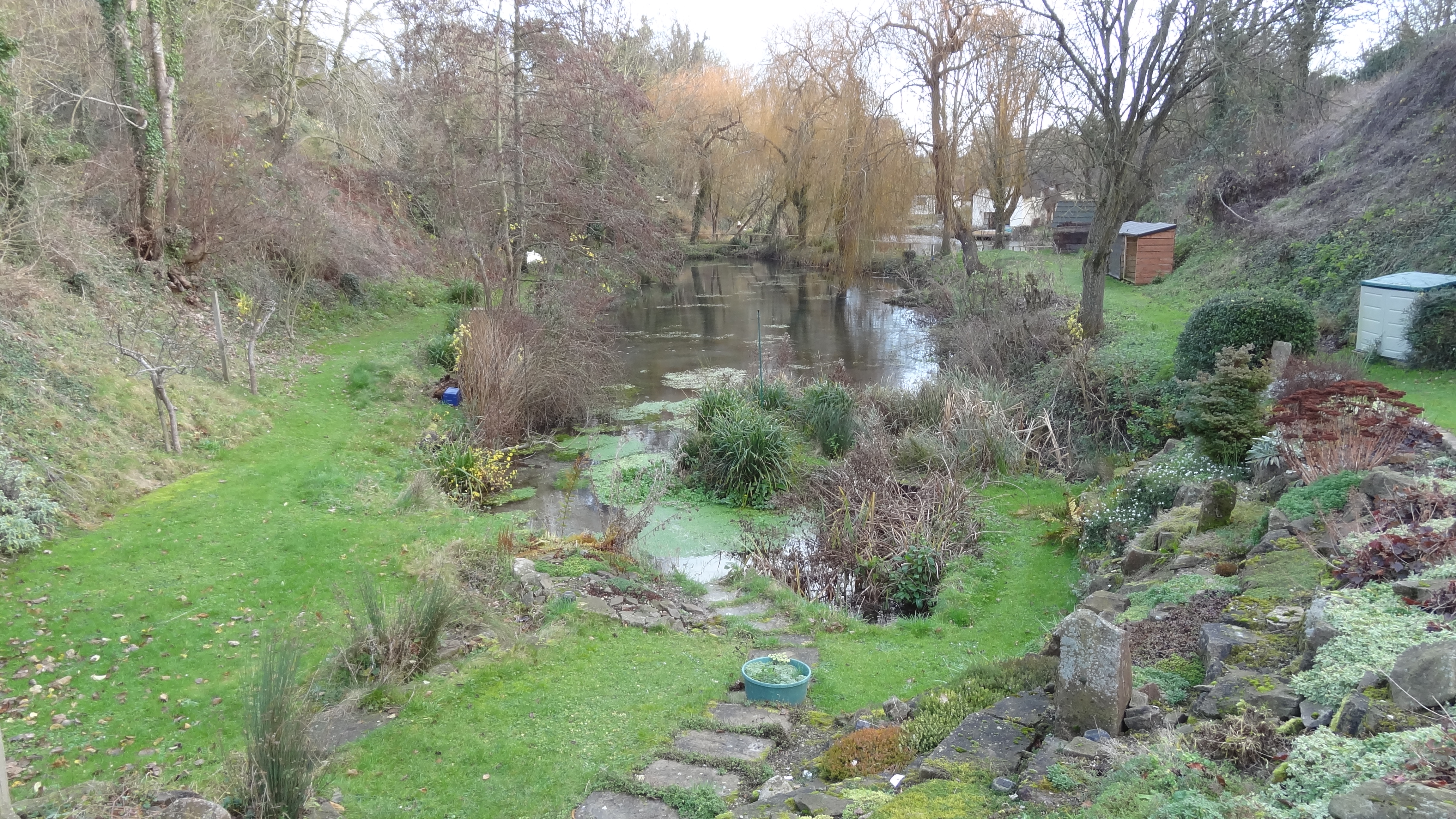
Letcombe Brook
Letcombe Brook is a 7.5-mile (12 km) stream in the Vale of White Horse in Oxfordshire, England. It rises at the foot of the Berkshire Downs in Letcombe...

Letcombe F.C.
Letcombe Football Club is a football club based in Letcombe Regis, Oxfordshire, England. They are currently member of the Hellenic League Division Two...

Reed Hill, Oxfordshire
Reed Hill is a 14-hectare (35-acre) biological Site of Special Scientific Interest (SSSI) west of Stonesfield in Oxfordshire. It partly overlaps Stonesfield...

Letcombe Valley
Letcombe Valley is a 7.5-hectare (19-acre) nature reserve south of Letcombe Regis in Oxfordshire. It is managed by the Berkshire, Buckinghamshire and Oxfordshire...

Wantage Town F.C.
Wantage Town Football Club is a football club based in Wantage, Oxfordshire that currently play in the Hellenic League Premier Division. The club is affiliated...
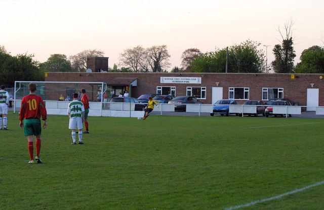
Alfredian Park
Alfredian Park is a football ground in Wantage, Oxfordshire, England, and the home of Wantage Town Football Club. With a capacity of about 1,500. ��2...
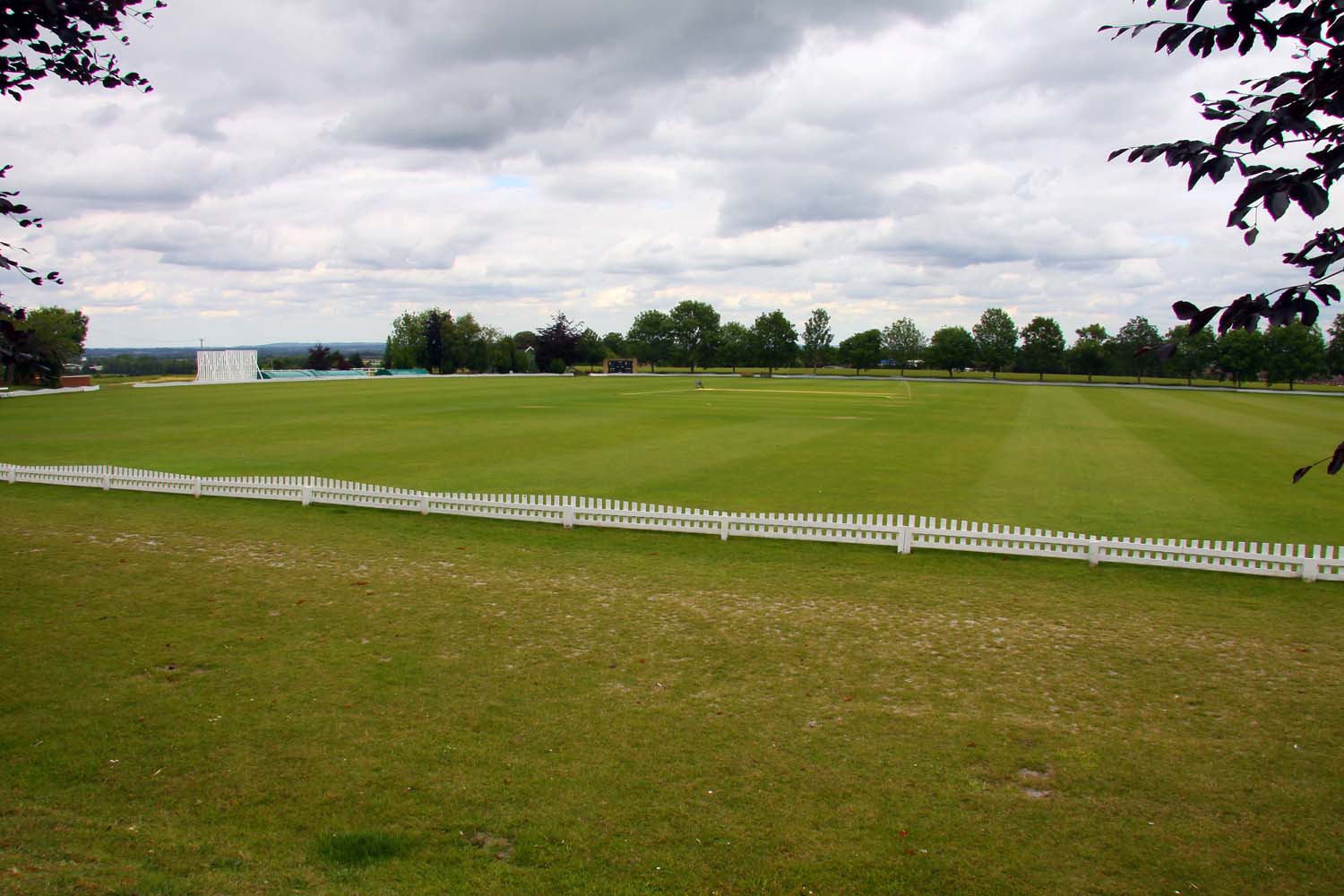
Vicarage Hill
Vicarage Hill is a cricket ground located in East Challow, Oxfordshire. Situated on the site of a park which has been in existence since the 1890s, the...
Nearby Amenities
Located within 500m of 51.575859,-1.4439716Have you been to Letcombe Regis Field?
Leave your review of Letcombe Regis Field below (or comments, questions and feedback).