Bailey's Down
Downs, Moorland in Hampshire Test Valley
England
Bailey's Down

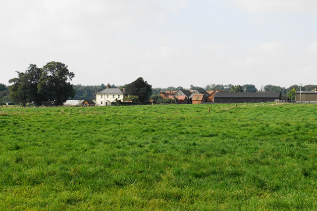
Bailey's Down is a picturesque area located in Hampshire, England. Situated within the larger Downland region, it encompasses both downs and moorland landscapes, offering a diverse and captivating scenery.
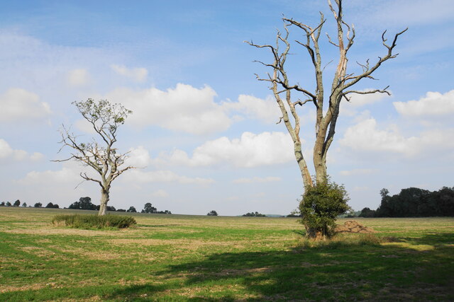
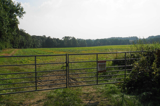
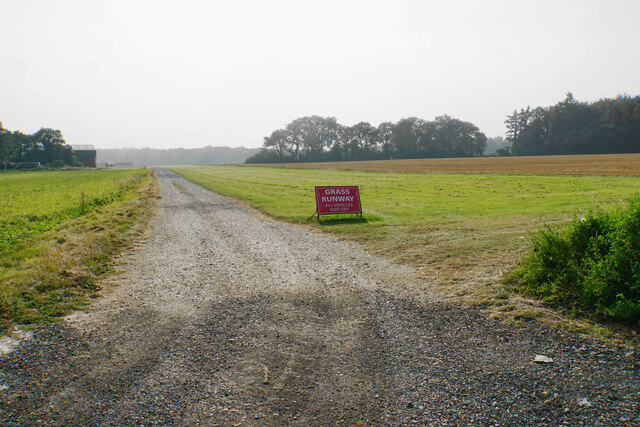
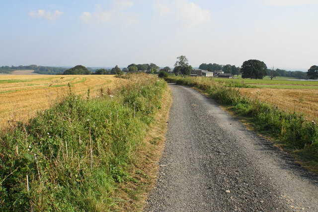
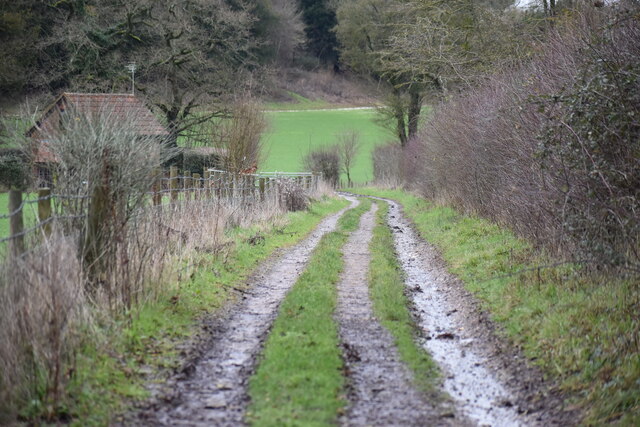
The downs of Bailey's Down are characterized by rolling hills, covered with lush grasslands and scattered with patches of trees. These open spaces provide breathtaking views of the surrounding countryside, making it a popular destination for outdoor enthusiasts and nature lovers. Visitors can enjoy long walks or hikes along the well-maintained footpaths, taking in the serene beauty of the area.
The moorland in Bailey's Down adds an extra dimension to its natural allure. With its heather-clad hills and expansive vistas, this unique habitat is home to a variety of wildlife species, including birds, insects, and small mammals. Birdwatchers can spot several species of birds, such as skylarks and kestrels, soaring through the skies or nesting in the heather.
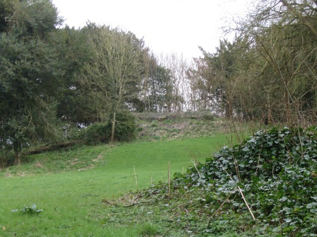
Bailey's Down is also known for its rich history and archaeological significance. The area is scattered with ancient burial mounds, known as barrows, which date back thousands of years. These burial sites offer a fascinating insight into the lives and customs of past civilizations.
Overall, Bailey's Down in Hampshire offers a captivating blend of natural beauty, diverse landscapes, and historical significance. Whether one is seeking tranquility in nature, exploring the local flora and fauna, or delving into the area's rich history, Bailey's Down is an ideal destination for all.
If you have any feedback on the listing, please let us know in the comments section below.
Bailey's Down Images
Images are sourced within 2km of 51.049472/-1.4543608 or Grid Reference SU3827. Thanks to Geograph Open Source API. All images are credited.


Bailey's Down is located at Grid Ref: SU3827 (Lat: 51.049472, Lng: -1.4543608)
Administrative County: Hampshire
District: Test Valley
Police Authority: Hampshire
What 3 Words
///ample.bench.brew. Near Romsey, Hampshire
Nearby Locations
Related Wikis

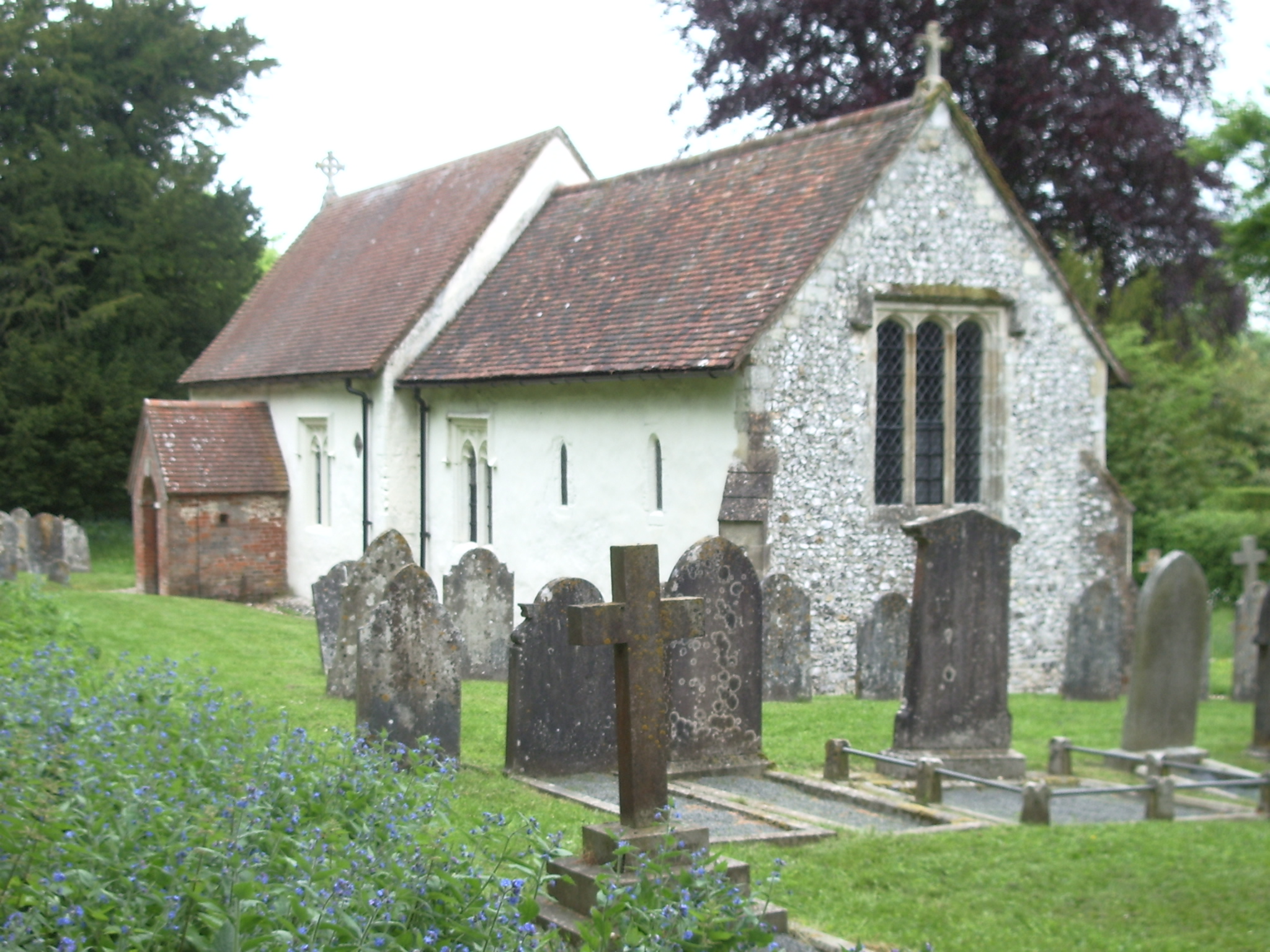
Church of St John the Baptist, Upper Eldon
The Church of St John the Baptist, Upper Eldon, is a redundant Anglican church in the parish of King's Somborne, Hampshire, England. It is recorded in...

Farley Mount
Farley Mount is one of the highest points in Hampshire at 174 metres ASL (571ft). It is in Farley Mount Country Park, about four miles west of the historic...
Ashley Castle
The remains of Ashley Castle are in the small village of Ashley, Test Valley, in Hampshire (grid reference SU385308). The visible remains now consist of...

Braishfield
Braishfield is a village and civil parish north of Romsey in Hampshire, England. The name is thought to be derived from the Old English bræsc + feld,...
St. Mary's Church, Ashley
St. Mary's Church is a historic Anglican church in the hamlet of Ashley, Hampshire, England. It is recorded in the National Heritage List for England...
Ashley, Test Valley
Ashley is a village and civil parish in the Test Valley district of Hampshire, England, 8 miles (13 km) west of Winchester. Its nearest town is Stockbridge...

Horsebridge
Horsebridge is a small village in the civil parish of King's Somborne in the Test Valley district of Hampshire, England. Its nearest town is Stockbridge...

Sparsholt Roman Villa
Sparsholt Roman Villa was a Roman villa near the village of Sparsholt, Hampshire, England. It was constructed in phases from the 2nd to the 5th century...
Nearby Amenities
Located within 500m of 51.049472,-1.4543608Have you been to Bailey's Down?
Leave your review of Bailey's Down below (or comments, questions and feedback).