Crooked Park
Downs, Moorland in Yorkshire
England
Crooked Park
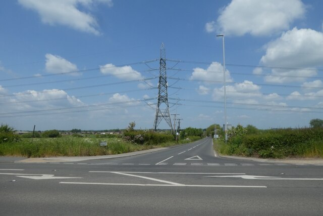
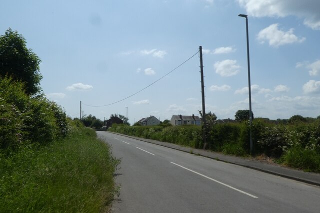
Crooked Park is a picturesque area located in the region of Yorkshire, encompassing the Downs and Moorland landscapes. Situated amidst rolling hills and breathtaking natural beauty, this destination offers visitors a unique experience in the heart of the British countryside.
The park is renowned for its crooked, winding trails that meander through the lush greenery, providing hikers and nature enthusiasts with an enchanting journey. The undulating hills offer panoramic views of the surrounding countryside, with patches of vibrant wildflowers dotting the landscape during the spring and summer months.
The Yorkshire Downs within Crooked Park are characterized by their gentle slopes and scenic vistas. Visitors can enjoy leisurely walks, horseback riding, or even cycling along the well-maintained paths that crisscross the area. The moorland, on the other hand, presents a more rugged terrain, with vast expanses of heather and peat bogs. This untamed environment provides an ideal habitat for various bird species, including the elusive red grouse.
For those interested in history, the park also boasts several ancient archaeological sites, such as burial mounds and stone circles, offering an insight into the region's rich past. Wildlife enthusiasts will be delighted to spot a variety of animals, including rabbits, deer, and even the occasional fox or badger.
Crooked Park, Yorkshire (Downs, Moorland) is a haven for nature lovers, offering a tranquil escape from the hustle and bustle of city life. With its diverse landscapes, captivating trails, and abundant wildlife, it is a must-visit destination for anyone seeking a truly immersive experience in the heart of the British countryside.
If you have any feedback on the listing, please let us know in the comments section below.
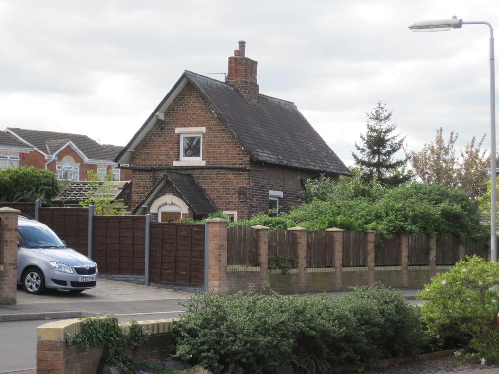
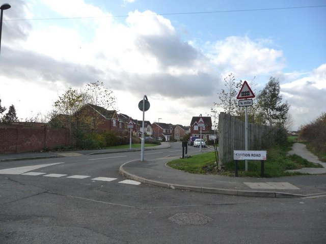
Crooked Park Images
Images are sourced within 2km of 53.731248/-1.4233146 or Grid Reference SE3826. Thanks to Geograph Open Source API. All images are credited.


Crooked Park is located at Grid Ref: SE3826 (Lat: 53.731248, Lng: -1.4233146)
Division: West Riding
Unitary Authority: Leeds
Police Authority: West Yorkshire
What 3 Words
///basics.mailings.fizzle. Near Methley, West Yorkshire
Nearby Locations
Related Wikis
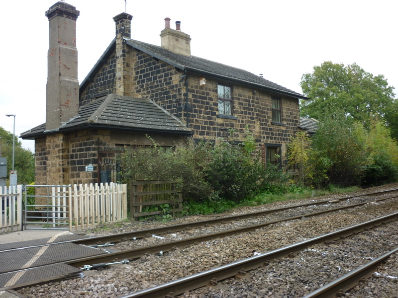
Methley railway station
Methley railway station was opened in 1841 by the North Midland Railway on its line from Derby to Leeds. At one time, there were three railway stations...
Methley Junction railway station
Methley Junction railway station was one of three stations that served the village of Methley, West Yorkshire, England. It opened on 1 October 1849 and...

Methley South railway station
Methley South railway station was one of three stations that served the village of Methley, West Yorkshire, England. The station was built by the Methley...

Altofts railway station
Altofts railway station served the village of Altofts near Normanton in the English county of West Yorkshire. It was opened in 1870 as Altofts and Whitwood...
Mickletown
Mickletown is a district within the village of Methley, south of Leeds, West Yorkshire, England. The Leeds Country Way and the Trans Pennine Trail both...

Wakefield Europort
Wakefield Europort is a rail-connected warehousing and industrial estate located to the northeast of Wakefield at junction 31 of the M62 motorway in West...

St Aidan's
St Aidan's is a 355 hectare (877 acres) nature park located between Leeds and Castleford in West Yorkshire, England. The land was formerly an opencast...
West Riding County Football Association
The West Riding County Football Association is the governing body of football in northern parts of the West Riding of Yorkshire, England. Its headquarters...
Nearby Amenities
Located within 500m of 53.731248,-1.4233146Have you been to Crooked Park?
Leave your review of Crooked Park below (or comments, questions and feedback).