Boldon Flats
Downs, Moorland in Durham
England
Boldon Flats

Boldon Flats, located in Durham, Downs, Moorland, is a diverse and significant ecological site in the North East of England. Spanning an area of approximately 300 acres, it is characterized by a unique blend of wetland habitats, including marshes, mudflats, reed beds, and grasslands.
The site is renowned for its rich biodiversity and serves as a haven for a wide range of plant and animal species. The marshes and mudflats provide an ideal feeding ground for numerous wading birds, such as curlews, redshanks, and lapwings. Additionally, the reed beds offer shelter to various species of warblers, reed buntings, and even the elusive bittern.
The grasslands of Boldon Flats support a diverse array of wildflowers, including orchids, marsh marigolds, and meadow buttercups. This vibrant plant life attracts an abundance of insects, including dragonflies, butterflies, and bees.
In addition to its ecological significance, Boldon Flats is also of historical importance. The site was once part of the medieval common lands of Boldon, serving as a grazing area for local livestock. Today, the remnants of medieval ridge and furrow can still be seen in certain sections of the site, offering a glimpse into the region's agricultural past.
Boldon Flats is a popular destination for nature enthusiasts, birdwatchers, and photographers, who visit to appreciate its natural beauty and observe the diverse wildlife. The site is managed by a local conservation organization in collaboration with Durham County Council to ensure its preservation and protection for future generations to enjoy.
If you have any feedback on the listing, please let us know in the comments section below.
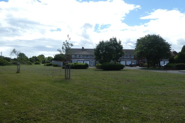
Boldon Flats Images
Images are sourced within 2km of 54.94664/-1.4112402 or Grid Reference NZ3761. Thanks to Geograph Open Source API. All images are credited.


Boldon Flats is located at Grid Ref: NZ3761 (Lat: 54.94664, Lng: -1.4112402)
Unitary Authority: South Tyneside
Police Authority: Northumbria
What 3 Words
///long.hobby.adopt. Near East Boldon, Tyne & Wear
Nearby Locations
Related Wikis

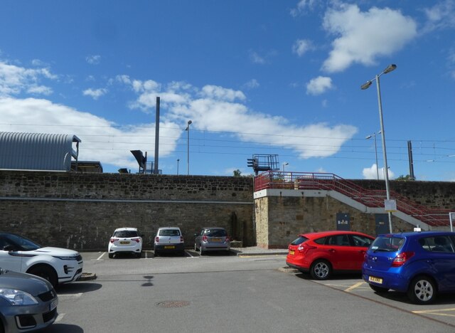
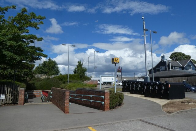
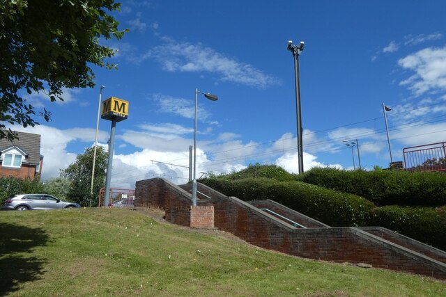
East Boldon Metro station
East Boldon is a Tyne and Wear Metro station, serving the villages of Cleadon and East Boldon, South Tyneside in Tyne and Wear, England. It joined the...
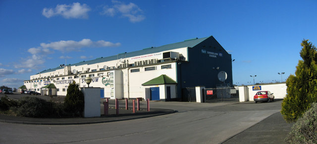
Sunderland Greyhound Stadium
Sunderland Greyhound Stadium is a greyhound racing track situated at Fulwell in the City of Sunderland and English county of Tyne and Wear. The stadium...

Cleadon
Cleadon is a suburban village in South Tyneside in the North East of England. Prior to the creation of Tyne and Wear in 1974 by the Local Government Act...

Battle of Boldon Hill
The Battle of Boldon Hill was a day-long engagement that took place in modern-day Tyne and Wear between English Royalists and an army made up of Scottish...
Nearby Amenities
Located within 500m of 54.94664,-1.4112402Have you been to Boldon Flats?
Leave your review of Boldon Flats below (or comments, questions and feedback).