Bagshott Moor
Downs, Moorland in Hampshire New Forest
England
Bagshott Moor
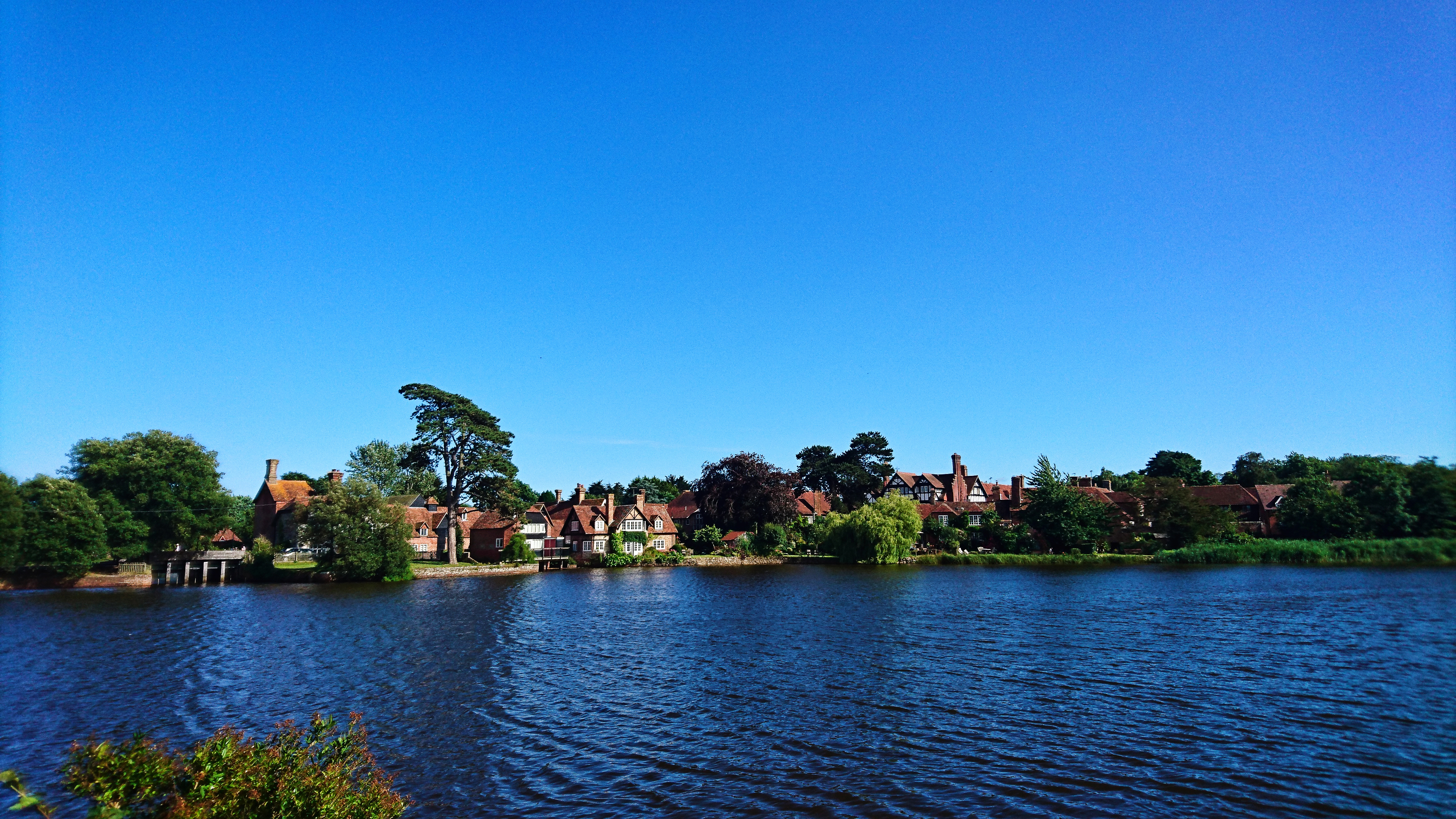
Bagshott Moor is a picturesque area located in Hampshire, England. Situated on the outskirts of the village of Bagshott, it is renowned for its stunning natural beauty and diverse ecosystem. The moor encompasses both downs and moorland, offering visitors a unique and captivating experience.
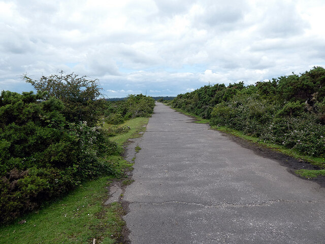
The downs of Bagshott Moor boast rolling hills covered in a patchwork of vibrant green grass and wildflowers. The landscape is dotted with ancient oak trees, providing shade and adding to the area's charm. Walking along the well-maintained footpaths, visitors can enjoy panoramic views of the surrounding countryside, including glimpses of the nearby heather-covered moorland.
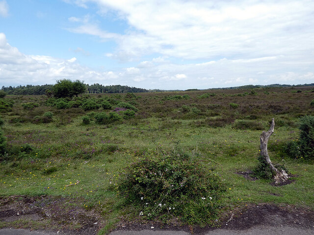
Moorland is a prominent feature of Bagshott Moor, characterized by its wide expanses of open, rugged terrain. Here, visitors can witness a rich tapestry of colors as the heather blooms in shades of purple and pink during the summer months. The moorland also supports a diverse range of wildlife, including rare bird species such as the Dartford warbler and stonechat.
For nature enthusiasts, Bagshott Moor provides ample opportunities for exploration and discovery. The area is home to various plant species, including carnivorous sundews and vibrant orchids. Animal lovers can spot rabbits, foxes, and deer roaming freely, while birdwatchers can observe the diverse avian population that calls the moor home.
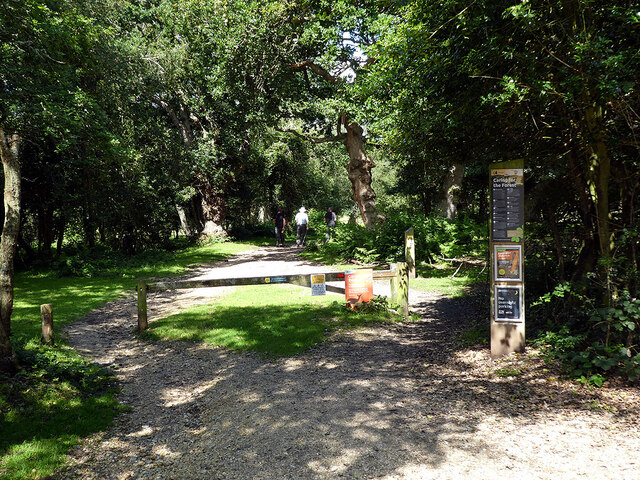
Bagshott Moor is not only a haven for wildlife but also a cherished recreational space. Visitors can engage in activities such as hiking, horse riding, and picnicking, making it an ideal destination for families and outdoor enthusiasts alike. With its idyllic landscapes and rich biodiversity, Bagshott Moor truly offers a glimpse into the natural beauty of Hampshire.
If you have any feedback on the listing, please let us know in the comments section below.
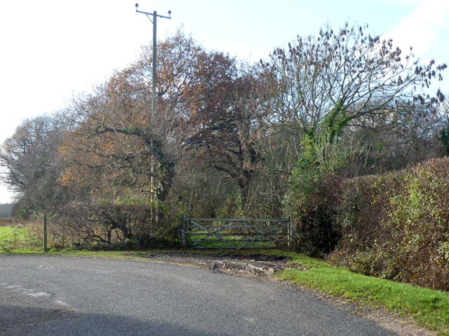
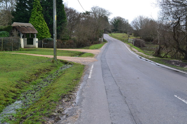
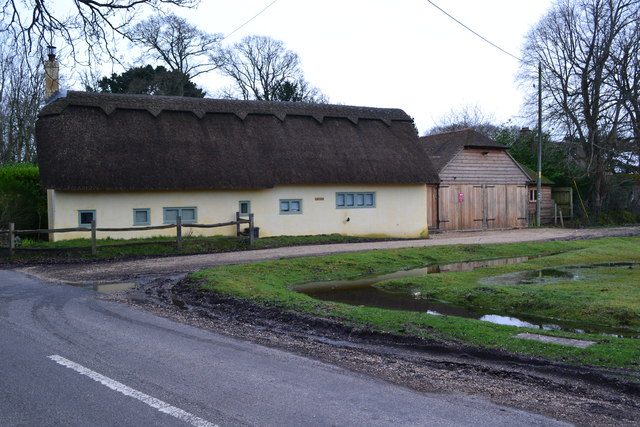
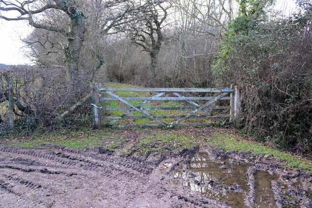
Bagshott Moor Images
Images are sourced within 2km of 50.803539/-1.4782742 or Grid Reference SU3600. Thanks to Geograph Open Source API. All images are credited.


Bagshott Moor is located at Grid Ref: SU3600 (Lat: 50.803539, Lng: -1.4782742)
Administrative County: Hampshire
District: New Forest
Police Authority: Hampshire
What 3 Words
///powder.lives.inflating. Near Brockenhurst, Hampshire
Nearby Locations
Related Wikis

East Boldre
East Boldre is a linear village and civil parish situated near Lymington, Hampshire, England. East Boldre is surrounded by the New Forest and forms part...

RAF Beaulieu
Royal Air Force Beaulieu or more simply RAF Beaulieu is a former Royal Air Force station in the New Forest, Hampshire, England. It was also known as Beaulieu...

New Forest East (UK Parliament constituency)
New Forest East is a constituency in Hampshire represented in the House of Commons of the UK Parliament since its creation in 1997 by Julian Lewis of the...
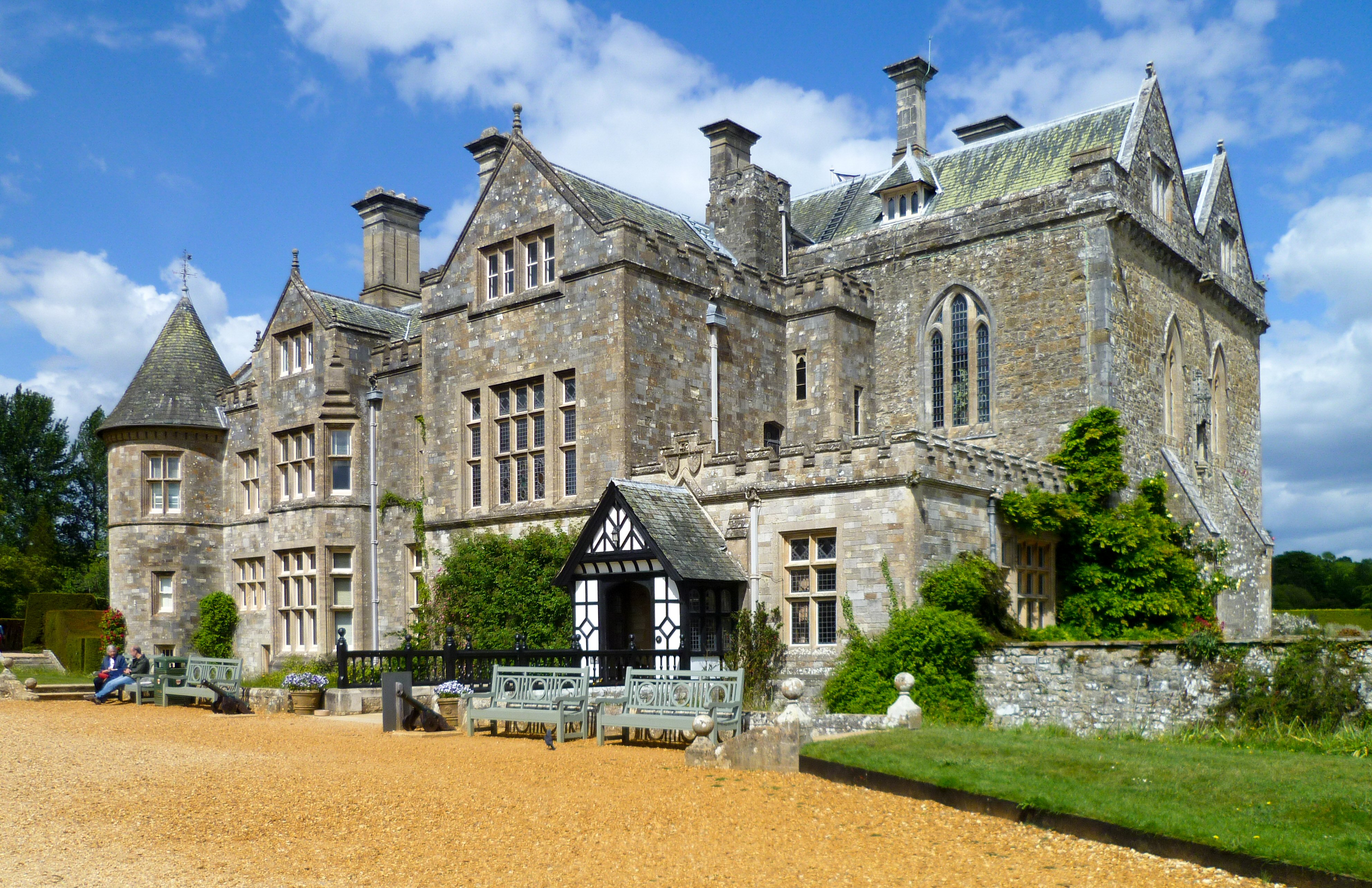
Beaulieu Palace House
Beaulieu Palace House ( BEW-lee) is a 13th-century house in Beaulieu, Hampshire, United Kingdom. Originally part of Beaulieu Abbey, the estate was bought...
Beaulieu, Hampshire
Beaulieu ( BEW-lee) is a small village located on the southeastern edge of the New Forest national park in Hampshire, England, and home to both Palace...
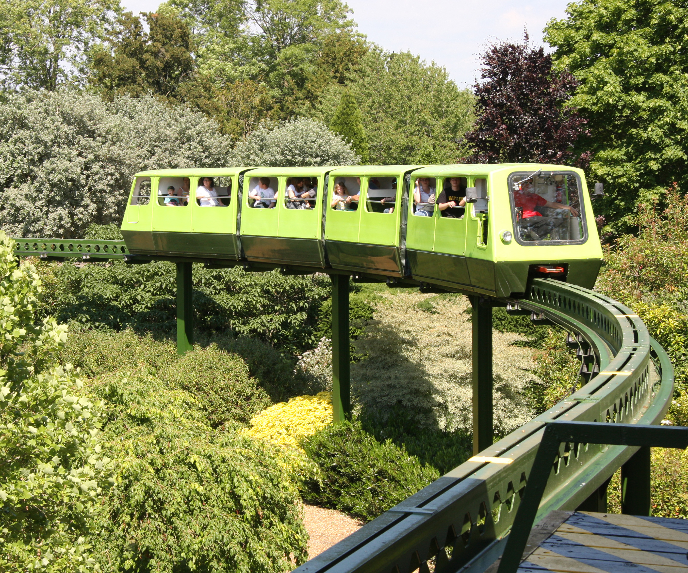
National Motor Museum Monorail
The Beaulieu Monorail is England's first monorail, linking the National Motor Museum to the Beaulieu Palace House. the monorail line passes through the...

National Motor Museum, Beaulieu
The National Motor Museum (originally the Montagu Motor Museum) is a museum in the village of Beaulieu, set in the heart of the New Forest, in the English...

Norley Copse and Meadow
Norley Copse and Meadow is a 7.5-hectare (19-acre) biological Site of Special Scientific Interest east of Lymington in Hampshire. It is part of New Forest...
Nearby Amenities
Located within 500m of 50.803539,-1.4782742Have you been to Bagshott Moor?
Leave your review of Bagshott Moor below (or comments, questions and feedback).