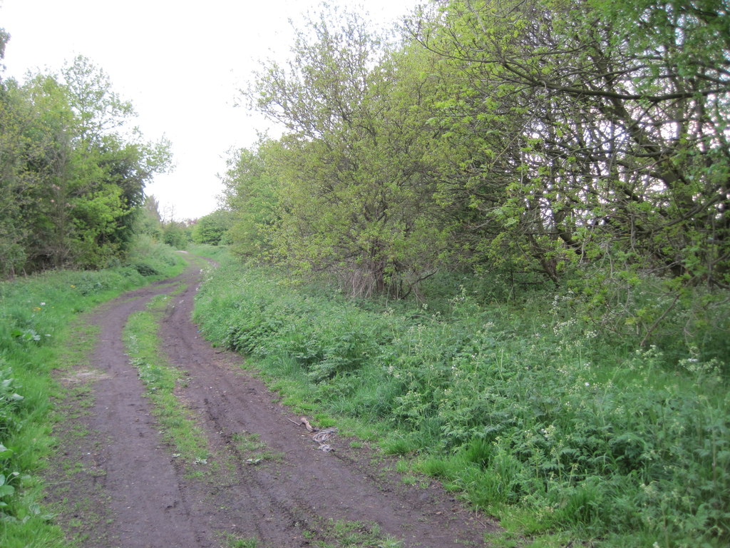
Cold Hiendley Common
Downs, Moorland in Yorkshire
England
Cold Hiendley Common

The requested URL returned error: 429 Too Many Requests
If you have any feedback on the listing, please let us know in the comments section below.
Cold Hiendley Common Images
Images are sourced within 2km of 53.618903/-1.446147 or Grid Reference SE3613. Thanks to Geograph Open Source API. All images are credited.


Cold Hiendley Common is located at Grid Ref: SE3613 (Lat: 53.618903, Lng: -1.446147)
Division: West Riding
Unitary Authority: Wakefield
Police Authority: West Yorkshire
What 3 Words
///allow.carpentry.disbelief. Near Royston, South Yorkshire
Nearby Locations
Related Wikis

Royston, South Yorkshire
Royston is a suburban village within the Metropolitan borough of Barnsley, in South Yorkshire, England. Historically, the village formed part of the West...

Ryhill railway station
Ryhill railway station was situated on the Barnsley Coal Railway, later the MS&L, Great Central and London and North Eastern Railway. == History == The...
Notton and Royston railway station
Notton and Royston railway station was a railway station that served the village of Royston, South Yorkshire, England. It was situated on the Barnsley...
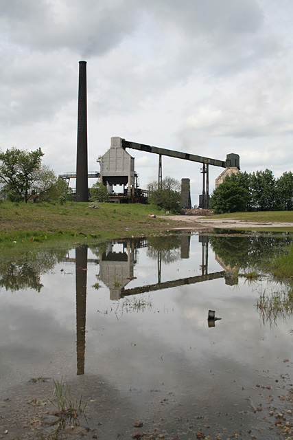
Monckton Coke Works
Monckton Coke Works (formerly the Monckton Coke and Chemical Company Ltd) was a coking plant near Royston in South Yorkshire, England. The plant opened...
Nearby Amenities
Located within 500m of 53.618903,-1.446147Have you been to Cold Hiendley Common?
Leave your review of Cold Hiendley Common below (or comments, questions and feedback).