The Common

Downs, Moorland in Yorkshire Harrogate

England

The Common

Crop ready for harvesting Looks like some kind of vetch to me
Crop ready for harvesting Credit: Eirian Evans

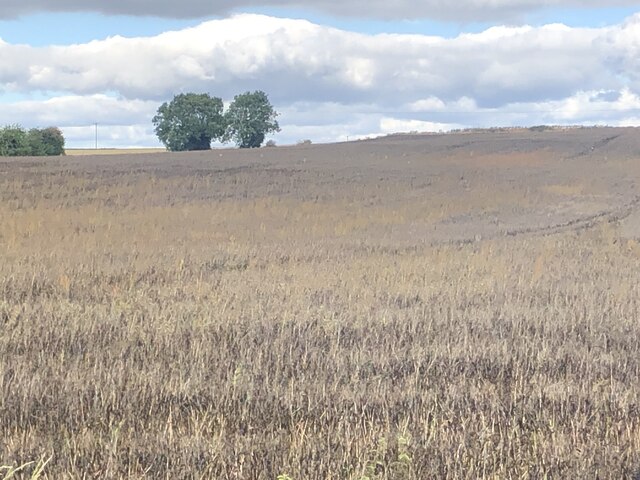
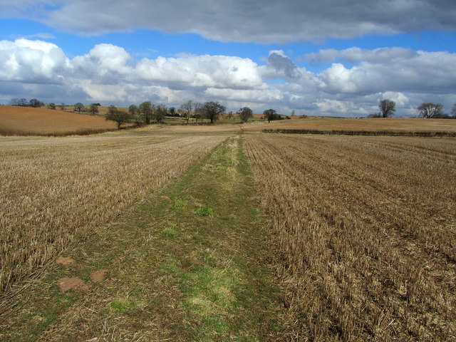
The Common, Yorkshire, located in the northern region of England, is a vast natural terrain renowned for its diverse landscapes, encompassing downs and moorland. Spanning over a significant expanse, The Common is characterized by its rolling hills, open grasslands, and extensive heather-covered moors.

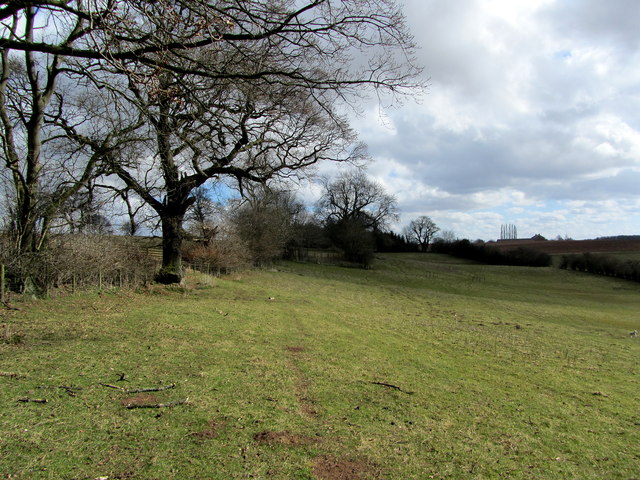
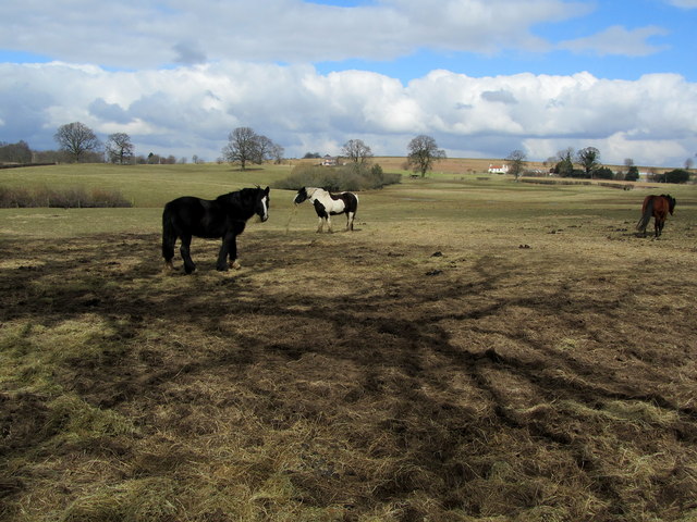
The downs of The Common offer picturesque views of gently sloping hills, covered with lush greenery and dotted with grazing sheep. These downs provide a haven for various wildlife species, including rabbits, hares, and a wide array of birdlife, making it a popular spot for nature enthusiasts and birdwatchers.

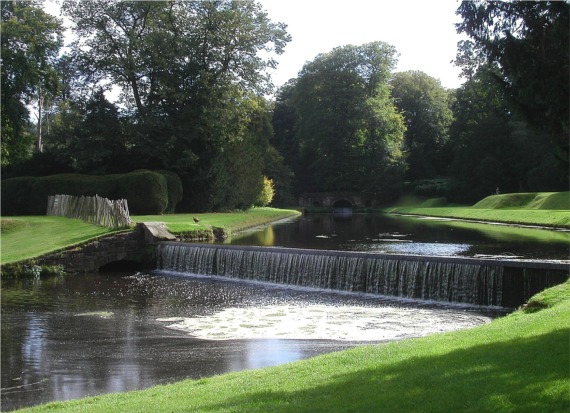
The moorland of The Common, on the other hand, showcases a more rugged and wild landscape. Dominated by expanses of purple and green heather, this terrain is both captivating and challenging to navigate. Moorland streams meander through the vast stretches of open land, creating a unique and tranquil atmosphere.

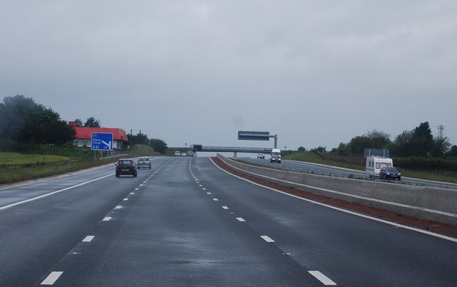
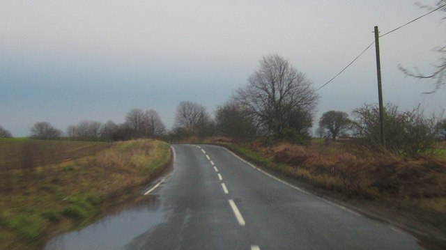
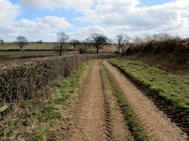
The Common experiences a temperate climate, with relatively mild summers and cool winters. Visitors can explore this natural wonderland through a network of well-maintained footpaths and trails, allowing them to fully immerse themselves in the beauty and serenity of the surroundings.

The Common, Yorkshire, holds great cultural importance, featuring in literary works such as the Brontë sisters' novels. Its breathtaking scenery and untouched wilderness have also made it a popular filming location for movies and television series.

Overall, The Common, Yorkshire, offers a mesmerizing blend of downs and moorland, providing visitors with an opportunity to reconnect with nature and experience the tranquility of this remarkable landscape.

If you have any feedback on the listing, please let us know in the comments section below.
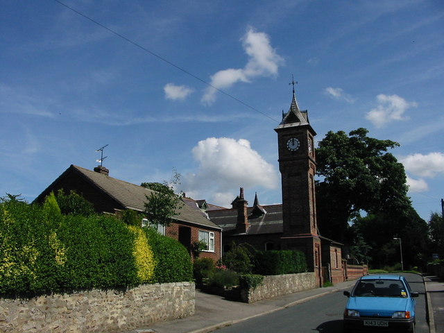
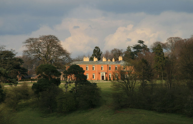
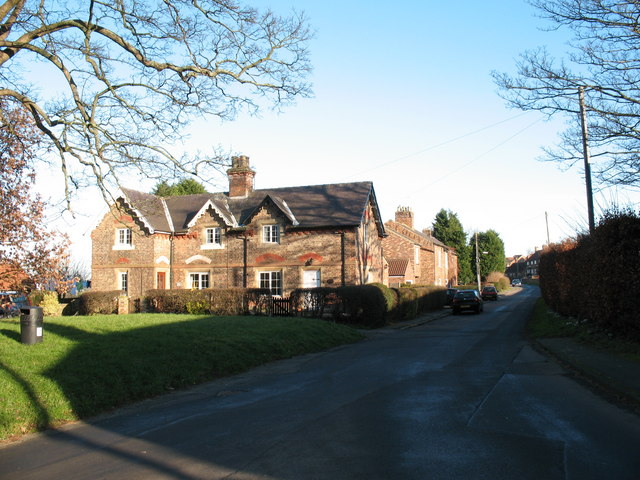
The Common Images

Images are sourced within 2km of 54.144084/-1.4552391 or Grid Reference SE3572. Thanks to Geograph Open Source API. All images are credited.

Crop ready for harvesting Looks like some kind of vetch to me
Crop ready for harvesting
Looks like some kind of vetch to me
Sharow, High Barn Farm According to the OS benchmark database there is a benchmark cut into the north-east face of this farm building. Stood on the PROW nothing could be seen.
Sharow, High Barn Farm
According to the OS benchmark database there is a benchmark cut into the north-east face of this farm building. Stood on the PROW nothing could be seen.
Junction 49, A1(M) The last junction on this stretch of the A1(M) through Yorkshire.
Since this was taken the upgrade has been completed to the north.
Junction 49, A1(M)
The last junction on this stretch of the A1(M) through Yorkshire. Since this was taken the upgrade has been completed to the north.
A1(M) junction 49 Will that lorry fit under?
A1(M) junction 49
Will that lorry fit under?
Leaving the A1(M) at junction 49 The sign says A168, but motorway continues for about 2 km, so is this strictly a side spur of the A1(M) or the A168(M)?
Leaving the A1(M) at junction 49
The sign says A168, but motorway continues for about 2 km, so is this strictly a side spur of the A1(M) or the A168(M)?
Bridge at A1(M) junction 49 The motorway spur to the A168 passes under the main A1(M), which shortly to the left is downgraded to plain A1.
Bridge at A1(M) junction 49
The motorway spur to the A168 passes under the main A1(M), which shortly to the left is downgraded to plain A1.
Runway, Dishforth Airfield
A168 (the old A1) heading north
Copt Hewick Common A small area of access land next to the Ripon to Dishforth road, which would appear to be the remnants of the old common. In recent years it has become the playground for trials bikers and is also popular with those who like to dump rubbish in the countryside.
Update 2023. The area was cleared of rubbish around 2019 and access blocked by the construction of a bank along the roadside, where parking is nigh on impossible. Since those changes, nature has returned and the area is now in a much better state.
Copt Hewick Common
A small area of access land next to the Ripon to Dishforth road, which would appear to be the remnants of the old common. In recent years it has become the playground for trials bikers and is also popular with those who like to dump rubbish in the countryside. Update 2023. The area was cleared of rubbish around 2019 and access blocked by the construction of a bank along the roadside, where parking is nigh on impossible. Since those changes, nature has returned and the area is now in a much better state.
A1(M), J49 The A1 is the longest numbered road in the UK at 410 miles long. It connects London with Edinburgh, via the east of England. 
For much of its path it follows the Great North Road the old coaching route between London and Edinburgh. Several sections of the route are classified as motorway A1(M). The modern A1 bypasses the towns the Great North Road passed through and is dual carriageway for most of its route through England.
A1(M), J49
The A1 is the longest numbered road in the UK at 410 miles long. It connects London with Edinburgh, via the east of England. For much of its path it follows the Great North Road the old coaching route between London and Edinburgh. Several sections of the route are classified as motorway A1(M). The modern A1 bypasses the towns the Great North Road passed through and is dual carriageway for most of its route through England.
A1(M), northbound A new stretch of the A1(M) recently opened.
A1(M), northbound
A new stretch of the A1(M) recently opened.
Dishforth Road The road from Ripon climbs to Copt Hewick Common with puddles by the roadside. Taken late on a gloomy winter afternoon, and through a windscreen, so a very poor image.
Dishforth Road
The road from Ripon climbs to Copt Hewick Common with puddles by the roadside. Taken late on a gloomy winter afternoon, and through a windscreen, so a very poor image.
The Clock Tower, Copt Hewick Unusual needle like brick clock tower attaches to the village hall - a mini version of the tower that houses Big Ben at the Palace of Westminster.
The Clock Tower, Copt Hewick
Unusual needle like brick clock tower attaches to the village hall - a mini version of the tower that houses Big Ben at the Palace of Westminster.
Footpath between Copt Hewick and Feedale Farm The footpath, only faintly discernible on the ground, runs through a series of pastures.
Footpath between Copt Hewick and Feedale Farm
The footpath, only faintly discernible on the ground, runs through a series of pastures.
Bridleway between Feedale and Red House Farm The bridleway runs through and round fields between the two points.
Bridleway between Feedale and Red House Farm
The bridleway runs through and round fields between the two points.
Horses near Feedale Farm Pasture to the east of Feedale Farm
Horses near Feedale Farm
Pasture to the east of Feedale Farm
Track heading East from Feedale Farm Bridleway heading away from Feedale Farm en route on a winding course for Red House Farm.
Track heading East from Feedale Farm
Bridleway heading away from Feedale Farm en route on a winding course for Red House Farm.
Below Oxforth Hill Following a bridleway between Feedale and Red House Farm - at this point below Oxforth Hill.
Below Oxforth Hill
Following a bridleway between Feedale and Red House Farm - at this point below Oxforth Hill.
Show me another place!

The Common is located at Grid Ref: SE3572 (Lat: 54.144084, Lng: -1.4552391)

Division: West Riding

Administrative County: North Yorkshire

District: Harrogate

Police Authority: North Yorkshire

What 3 Words

///pesky.mess.slurred. Near Ripon, North Yorkshire

Related Wikis

Marton-le-Moor

Marton-le-Moor is a village and civil parish in the Harrogate district of North Yorkshire, England. It is very near the A1(M) motorway, 4 miles (6.4 km...

Copt Hewick

Copt Hewick is a village and civil parish in the Harrogate district of North Yorkshire, England. The village lies about two miles east of Ripon. It had...

RAF Dishforth

Royal Air Force Dishforth or more simply RAF Dishforth is a former Royal Air Force station near Thirsk in North Yorkshire, England. Opened in 1936, the...

Dishforth Airfield

Dishforth Airfield (ICAO: EGXD) is a former Royal Air Force and current British Army station in North Yorkshire, England. It was previously an Army Air...

Bridge Hewick

Bridge Hewick is a village and civil parish in the Harrogate district of North Yorkshire, England. The village is situated on the River Ure, and approximately...

Sharow

Sharow is a village and civil parish in the Harrogate district of North Yorkshire, England. It is about 1 mile (1.6 km) north-east of Ripon. The name...

River Skell

The River Skell is a 12-mile-long (19 km) tributary of the River Ure in North Yorkshire, England. Its source is in boggy ground on moorland 2 miles (3...

Hutton Conyers

Hutton Conyers is a village and civil parish in the Harrogate district of North Yorkshire, England. It is situated near the River Ure and 1-mile (1.6...

Nearby Amenities

Located within 500m of 54.144084,-1.4552391
Power: pole
Lat/Long: 54.1432708/-1.4618373
Power: pole
Lat/Long: 54.1441307/-1.4608094
Power: pole
Lat/Long: 54.1449439/-1.4598155
Power: pole
Lat/Long: 54.1457504/-1.4588293
Power: pole
Lat/Long: 54.1462814/-1.4581807
Power: pole
Lat/Long: 54.1468368/-1.456762
Power: pole
Lat/Long: 54.1473656/-1.4554002
Power: pole
Lat/Long: 54.1478699/-1.4541105
Power: pole
Lat/Long: 54.1482965/-1.4529839
The data included in this document is from www.openstreetmap.org. The data is made available under ODbL.

Have you been to The Common?

Leave your review of The Common below (or comments, questions and feedback).