Charlton Down
Downs, Moorland in Hampshire Test Valley
England
Charlton Down
Charlton Down, Hampshire is a picturesque village located in the South Downs National Park, known for its stunning natural beauty and diverse landscapes. Situated on the outskirts of Winchester, the village is surrounded by rolling hills, downs, and moorland, providing residents and visitors with countless opportunities for outdoor activities and exploration.
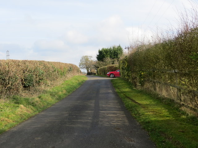
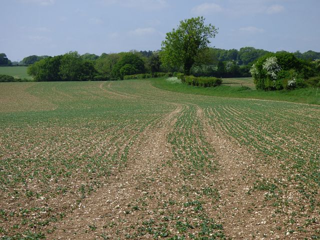
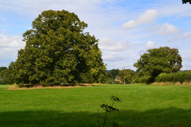
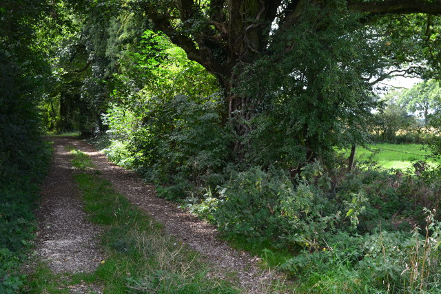
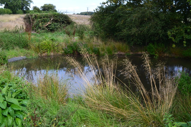
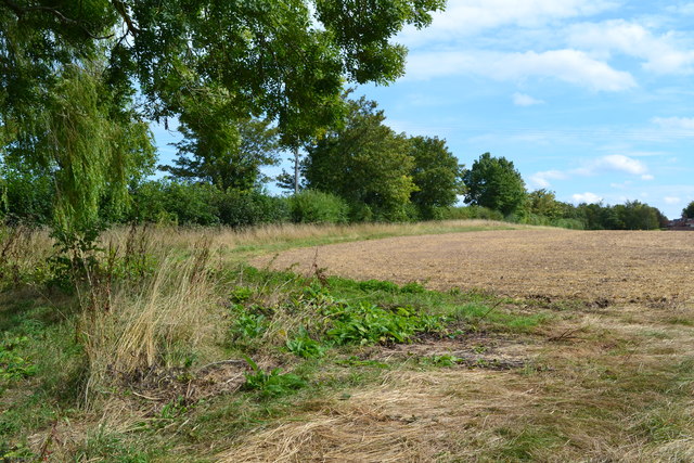
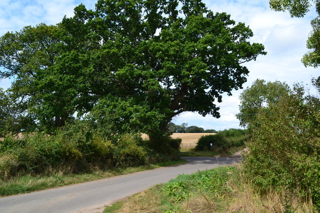
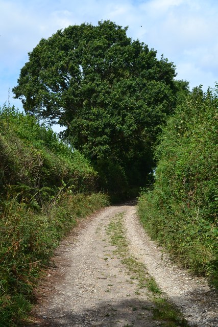
The Downs in Charlton Down offer breathtaking panoramic views of the surrounding countryside, making it a popular destination for hikers, walkers, and nature enthusiasts. The area is home to a variety of wildlife, including rare bird species, making it a haven for birdwatchers.
The village itself is a charming and peaceful community, with a mix of traditional cottages and modern housing. It boasts a close-knit community spirit, with various events and activities organized throughout the year, including village fairs, farmers' markets, and arts and crafts exhibitions.
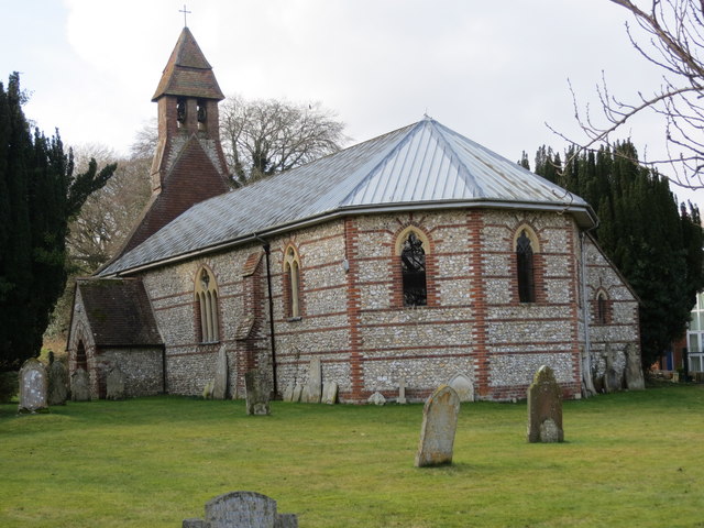
Charlton Down is also known for its rich history, with evidence of human settlement dating back to the Roman era. There are several historical landmarks in the area, including an ancient church and a manor house, which provide a glimpse into the village's past.
Despite its rural setting, Charlton Down is well-connected, with easy access to nearby towns and cities. Winchester, with its bustling high street, shops, and amenities, is just a short drive away, offering residents the best of both worlds – a tranquil village setting with convenient access to urban facilities.
In summary, Charlton Down, Hampshire is a picturesque village nestled in the South Downs National Park, offering stunning natural beauty, a close-knit community, and a rich history. It is an idyllic location for those seeking a peaceful countryside lifestyle with easy access to amenities and outdoor activities.
If you have any feedback on the listing, please let us know in the comments section below.
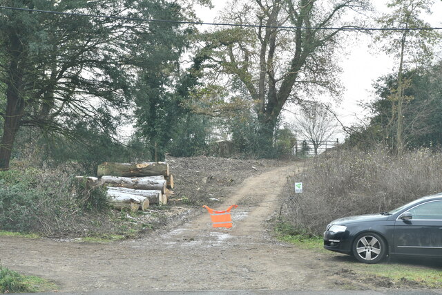
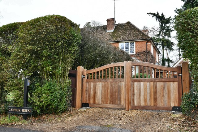
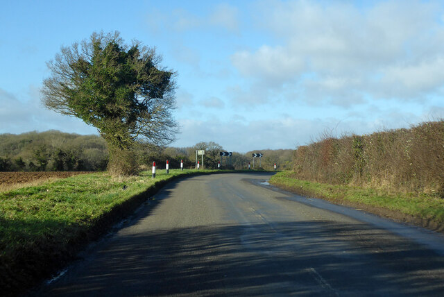
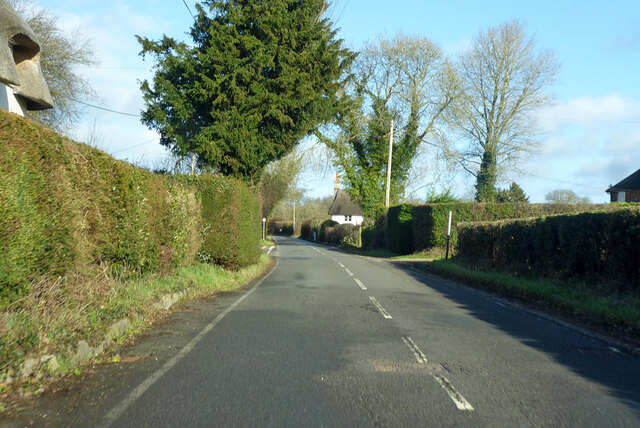
Charlton Down Images
Images are sourced within 2km of 51.247747/-1.4922501 or Grid Reference SU3549. Thanks to Geograph Open Source API. All images are credited.

Charlton Down is located at Grid Ref: SU3549 (Lat: 51.247747, Lng: -1.4922501)
Administrative County: Hampshire
District: Test Valley
Police Authority: Hampshire
What 3 Words
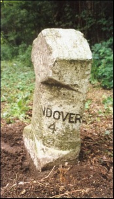
///defenders.letters.thinkers. Near Andover, Hampshire
Nearby Locations
Related Wikis

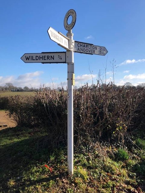
Wildhern
Wildhern is a small village and civil parish in the Test Valley district of Hampshire, England. It is in the civil parish of Tangley. Its nearest town...
Hatherden
Hatherden is a village and civil parish in the Test Valley district of Hampshire, England. Its nearest town is Andover, which lies approximately 3.3 miles...
Little Hatherden
Little Hatherden is a small village in the civil parish of Hatherden in the Test Valley district of Hampshire, England. It is in the civil parish of Tangley...
Andover New Street F.C.
Andover New Street Football Club is a football club based in Andover, Hampshire, England. Affiliated to the Hampshire Football Association, they are currently...
Nearby Amenities
Located within 500m of 51.247747,-1.4922501Have you been to Charlton Down?
Leave your review of Charlton Down below (or comments, questions and feedback).