Edge Moor
Downs, Moorland in Derbyshire Amber Valley
England
Edge Moor
Edge Moor is a picturesque region located in Derbyshire, England, known for its stunning downs and moorland landscapes. Situated in the heart of the Peak District National Park, it attracts nature enthusiasts and tourists from around the world. The area is characterized by its rolling hills, heather-covered moors, and expansive grasslands, offering breathtaking views and a sense of tranquility.
The downs of Edge Moor are a testament to the region's geological history. Comprised of limestone and shale, these gently sloping hills offer a unique ecosystem, supporting a variety of plant and animal life. Visitors can observe rare wildflowers such as orchids and harebells, and spot diverse bird species like kestrels and peregrine falcons.
The moorland of Edge Moor is equally captivating, with its vast stretches of open heathland. This rugged and untamed landscape is home to an array of wildlife, including red grouse, curlews, and adders. Hikers and ramblers can explore the numerous footpaths that crisscross the moor, immersing themselves in its natural beauty.
Edge Moor is not only a haven for nature lovers but also holds historical significance. The area is dotted with ancient burial sites, stone circles, and remnants of Bronze Age settlements, providing a glimpse into the rich cultural heritage of the region.
With its stunning vistas, diverse flora and fauna, and historical sites, Edge Moor is a destination that offers a unique blend of natural beauty and cultural heritage. Whether it's for a leisurely walk, birdwatching, or simply enjoying the serenity of the countryside, Edge Moor is a must-visit location for those seeking a true escape into nature.
If you have any feedback on the listing, please let us know in the comments section below.
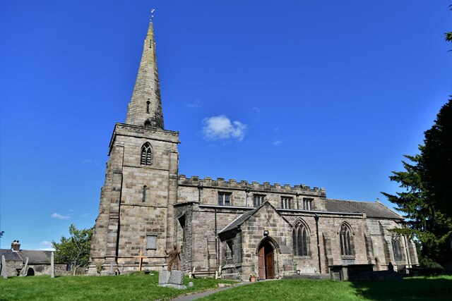
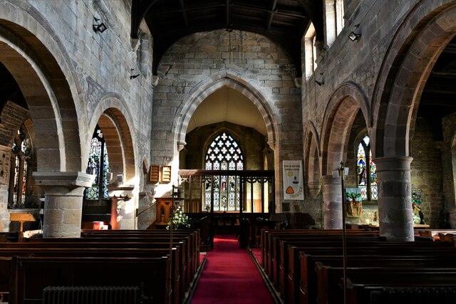
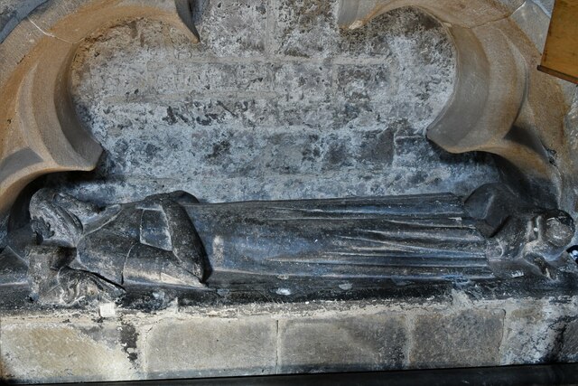
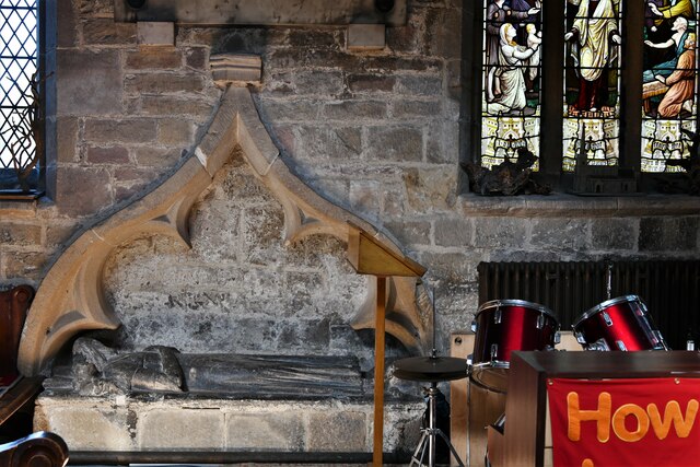
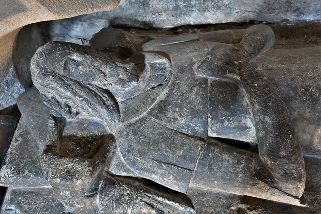
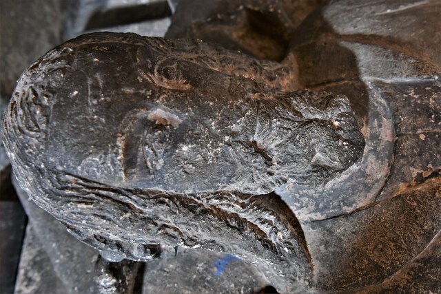
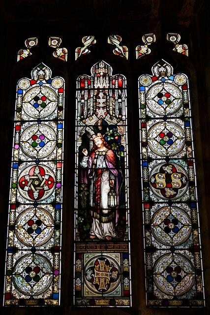
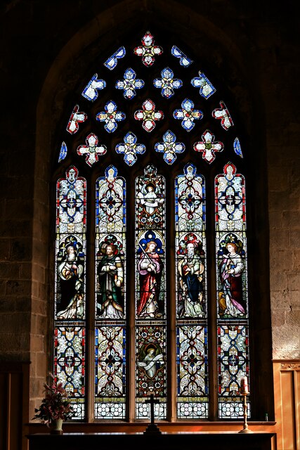
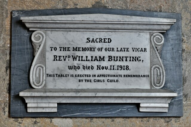
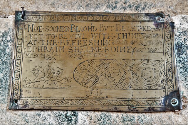
Edge Moor Images
Images are sourced within 2km of 53.096385/-1.4712458 or Grid Reference SK3555. Thanks to Geograph Open Source API. All images are credited.


Edge Moor is located at Grid Ref: SK3555 (Lat: 53.096385, Lng: -1.4712458)
Administrative County: Derbyshire
District: Amber Valley
Police Authority: Derbyshire
What 3 Words
///stooping.unhappy.tunes. Near South Wingfield, Derbyshire
Nearby Locations
Related Wikis
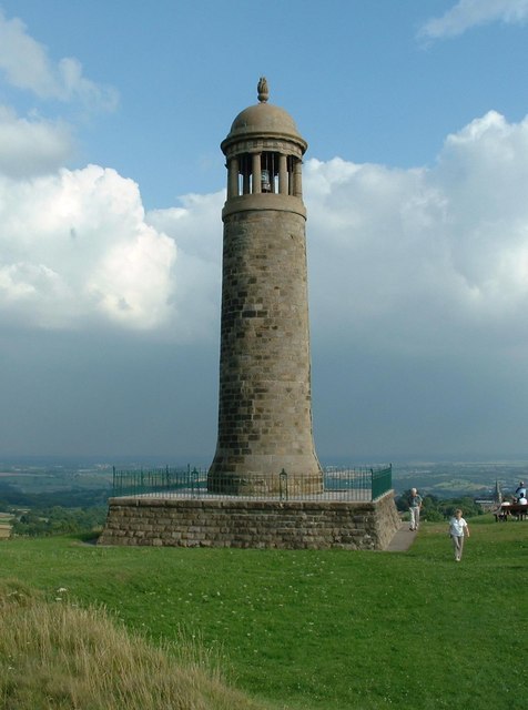
Crich Stand
Crich Stand is a memorial tower, originally erected in 1923 to the memory of the 11,409 members of the Sherwood Foresters (Nottinghamshire & Derbyshire...

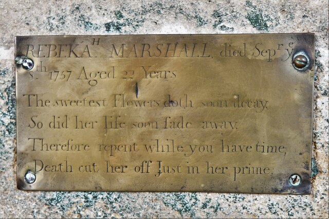
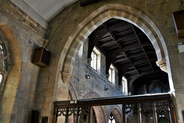
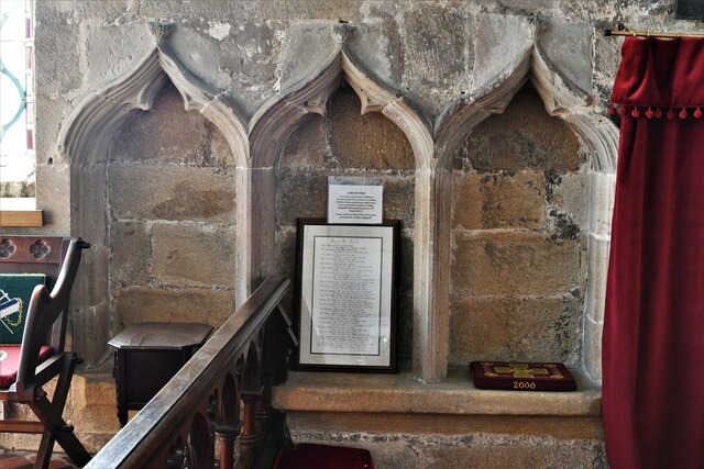
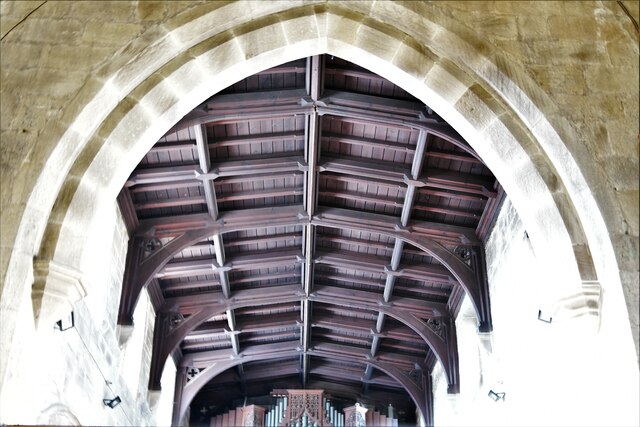
St Mary's Church, Crich
St Mary's Church, Crich is a Grade I listed parish church in the Church of England in Crich, Derbyshire. == History == The church dates from 1135 and has...

National Tramway Museum
The National Tramway Museum (trading as Crich Tramway Village) is a tram museum located at Crich (), Derbyshire, England. The museum contains over 80...

Crich
Crich is a village and civil parish in the English county of Derbyshire. The population at the 2001 Census was 2,821, increasing to 2,898 at the 2011...
Nearby Amenities
Located within 500m of 53.096385,-1.4712458Have you been to Edge Moor?
Leave your review of Edge Moor below (or comments, questions and feedback).