Sheep Down
Downs, Moorland in Hampshire Test Valley
England
Sheep Down
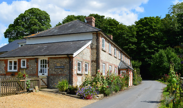
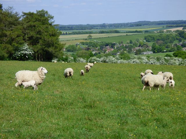
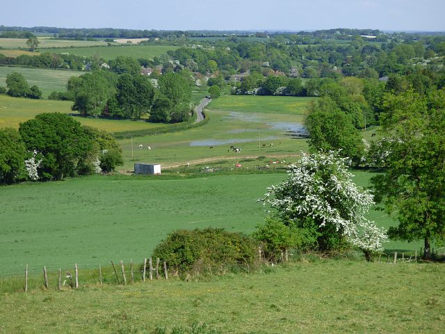
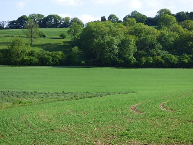
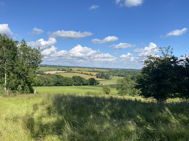
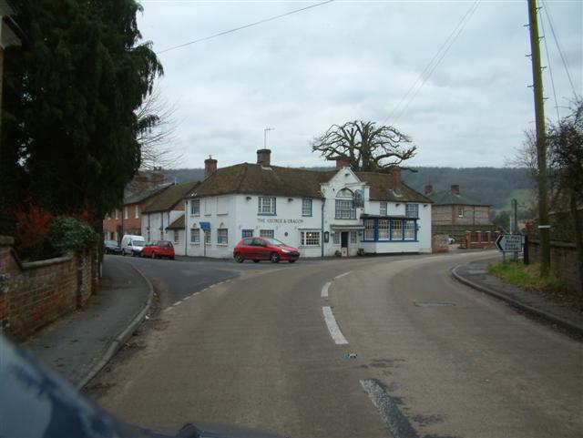
Sheep Down, Hampshire, located in southern England, is a picturesque region known for its stunning landscapes and diverse wildlife. The area encompasses a combination of downs, moorland, and rolling hills, creating a unique and captivating environment.
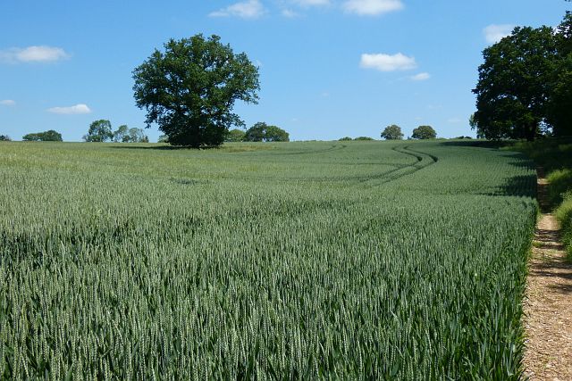
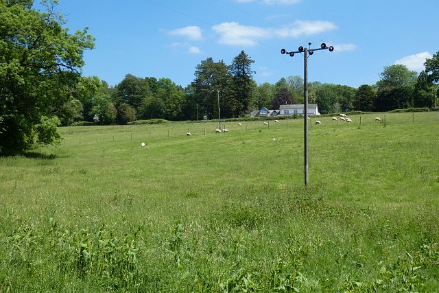
The downs in Sheep Down are characterized by their vast expanses of grassy meadows and sweeping views. These areas are dotted with sheep grazing peacefully, giving the region its name. The downs offer excellent walking and hiking opportunities, with well-maintained trails that wind through fields and hedgerows, providing visitors with breathtaking vistas of the surrounding countryside.
In addition to the downs, Sheep Down also features expansive moorland areas. These moorlands are home to a variety of plant and animal species, including heather, gorse, and bilberry. The moorland habitats attract a range of bird species, making it a popular destination for birdwatchers. Visitors may catch a glimpse of skylarks, stonechats, or even rare birds like the Dartford warbler.
Sheep Down is also known for its rich history and cultural heritage. The region is dotted with ancient archaeological sites, including burial mounds and hillforts, providing a glimpse into its past. The area has been inhabited for thousands of years, and remnants of its history can be seen in the form of ancient stone circles and Roman ruins.
Overall, Sheep Down, Hampshire, offers visitors a chance to immerse themselves in the natural beauty and historical significance of the area. Whether exploring the downs, wandering through the moorlands, or delving into the region's past, visitors are sure to be captivated by the charm and tranquility of Sheep Down.
If you have any feedback on the listing, please let us know in the comments section below.
Sheep Down Images
Images are sourced within 2km of 51.280881/-1.4941361 or Grid Reference SU3553. Thanks to Geograph Open Source API. All images are credited.


Sheep Down is located at Grid Ref: SU3553 (Lat: 51.280881, Lng: -1.4941361)
Administrative County: Hampshire
District: Test Valley
Police Authority: Hampshire
What 3 Words
///educates.newlywed.moss. Near Andover, Hampshire
Nearby Locations
Related Wikis

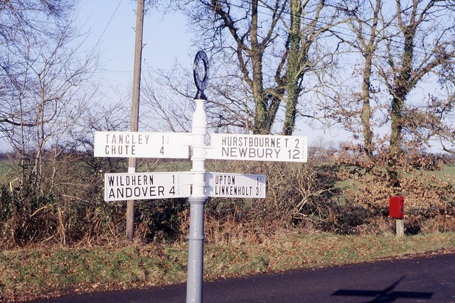
Pill Heath
Pill Heath is a hamlet in the civil parish of Tangley situated in the North Wessex Downs Area of Outstanding Natural Beauty in the Test Valley district...

Rushmore and Conholt Downs
Rushmore and Conholt Downs is a 111.5-hectare (276-acre) biological Site of Special Scientific Interest north of Andover in Hampshire. It is a Nature Conservation...

Upton, north Test Valley
Upton is a hamlet in Hampshire, located approximately 7 miles north of Andover. It has a population of approximately 250. The River Swift, a winterbourne...
Ibthorpe
Ibthorpe is a village in Hampshire, England. Ibthorpe is in the civil parish of Hurstbourne Tarrant. == Name == Ibthorpe is named after "Ibbaprop" which...

Tangley
Tangley is a village in the English county of Hampshire. Tangley is situated north of the old market town of Andover and the village of Charlton, Hampshire...
Wildhern
Wildhern is a small village and civil parish in the Test Valley district of Hampshire, England. It is in the civil parish of Tangley. Its nearest town...
Bevisbury
Bevisbury is the site of a former Iron Age plateau fort in Hampshire, England. The fort lies on a chalk ridge and is of a single bank and ditch construction...
Hurstbourne Tarrant
Hurstbourne Tarrant is a village and civil parish in Hampshire, England. It lies to the north of the county in the Test Valley. The Tarrant part of the...
Nearby Amenities
Located within 500m of 51.280881,-1.4941361Have you been to Sheep Down?
Leave your review of Sheep Down below (or comments, questions and feedback).