Ash Green

Downs, Moorland in Derbyshire North East Derbyshire

England

Ash Green

Barley field near the Linacre Reservoirs Chesterfield is seen in the distance.
Barley field near the Linacre Reservoirs Credit: Bill Boaden

Ash Green is a small village located in Derbyshire, England. Situated amidst picturesque countryside, it is surrounded by downs and moorland, making it an ideal destination for nature enthusiasts and outdoor activities. The village is nestled in the Amber Valley district, approximately 9 miles north of Derby city center.

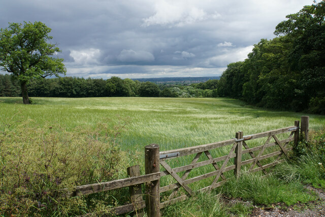
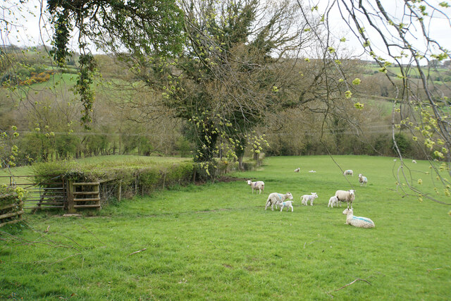
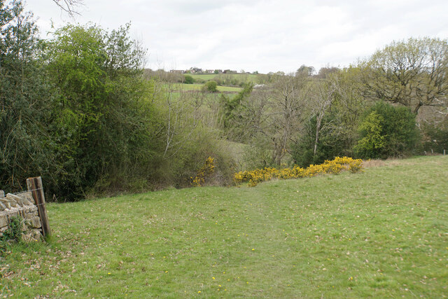
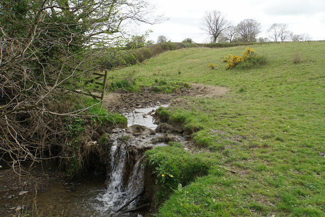
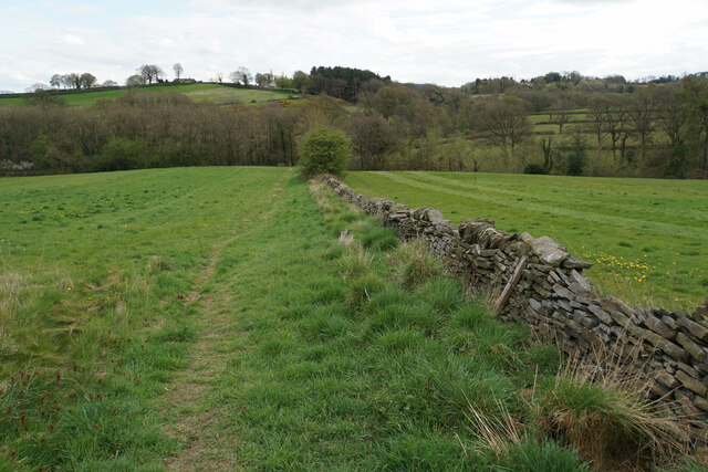
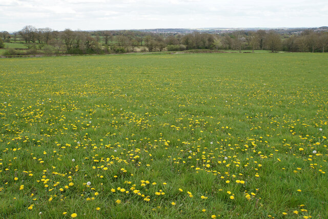
The area is known for its beautiful landscapes, characterized by rolling hills, vast green fields, and heather-covered moors. The downs provide stunning panoramic views of the surrounding countryside, with walking trails and footpaths that allow visitors to explore the area's natural beauty.

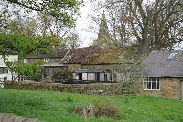
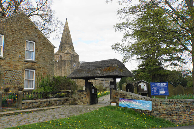
Ash Green itself is a peaceful and close-knit community, with a small population of residents. The village offers a tranquil escape from the hustle and bustle of city life, providing a serene environment for those seeking relaxation or outdoor pursuits.

The nearby moorland is home to a diverse range of flora and fauna, with many species of birds, butterflies, and wildflowers. It is a popular spot for birdwatching and wildlife photography.

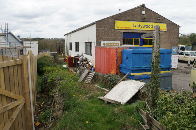
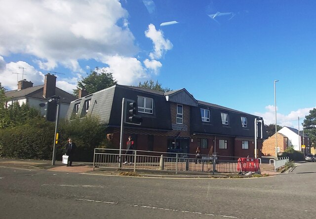
Despite its rural setting, Ash Green is conveniently located near several amenities. The village has a local pub, offering a friendly atmosphere and traditional British cuisine. In addition, nearby towns and villages provide a range of shops, cafes, and restaurants for residents and visitors.

Overall, Ash Green, Derbyshire is a charming village surrounded by stunning downs and moorland. It offers a peaceful retreat and a chance to immerse oneself in the natural beauty of the English countryside.

If you have any feedback on the listing, please let us know in the comments section below.
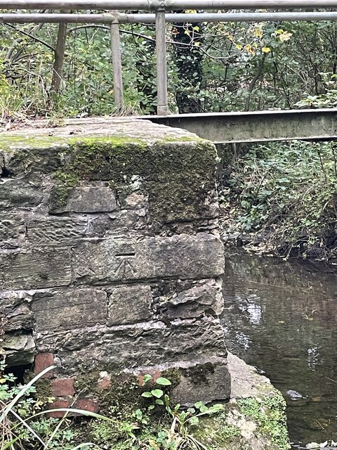
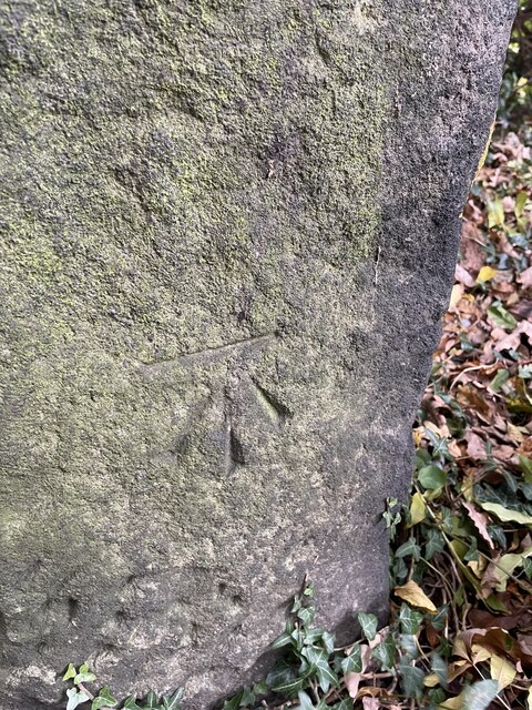
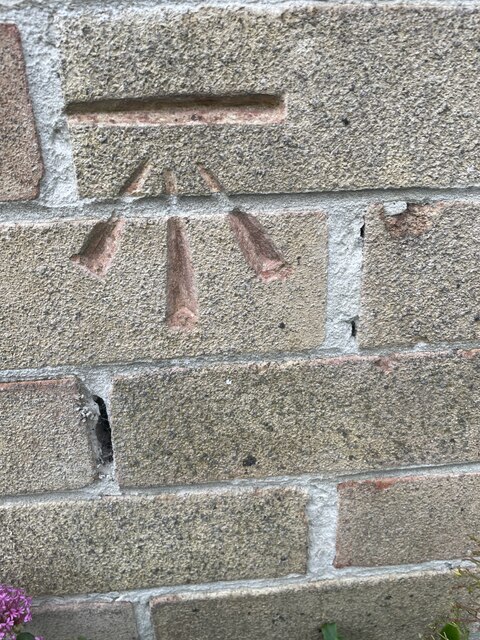
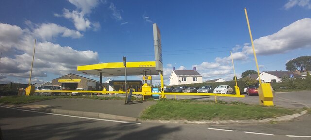
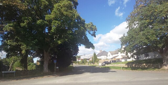
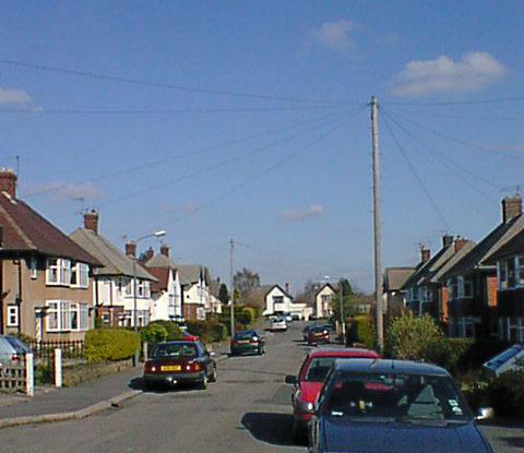
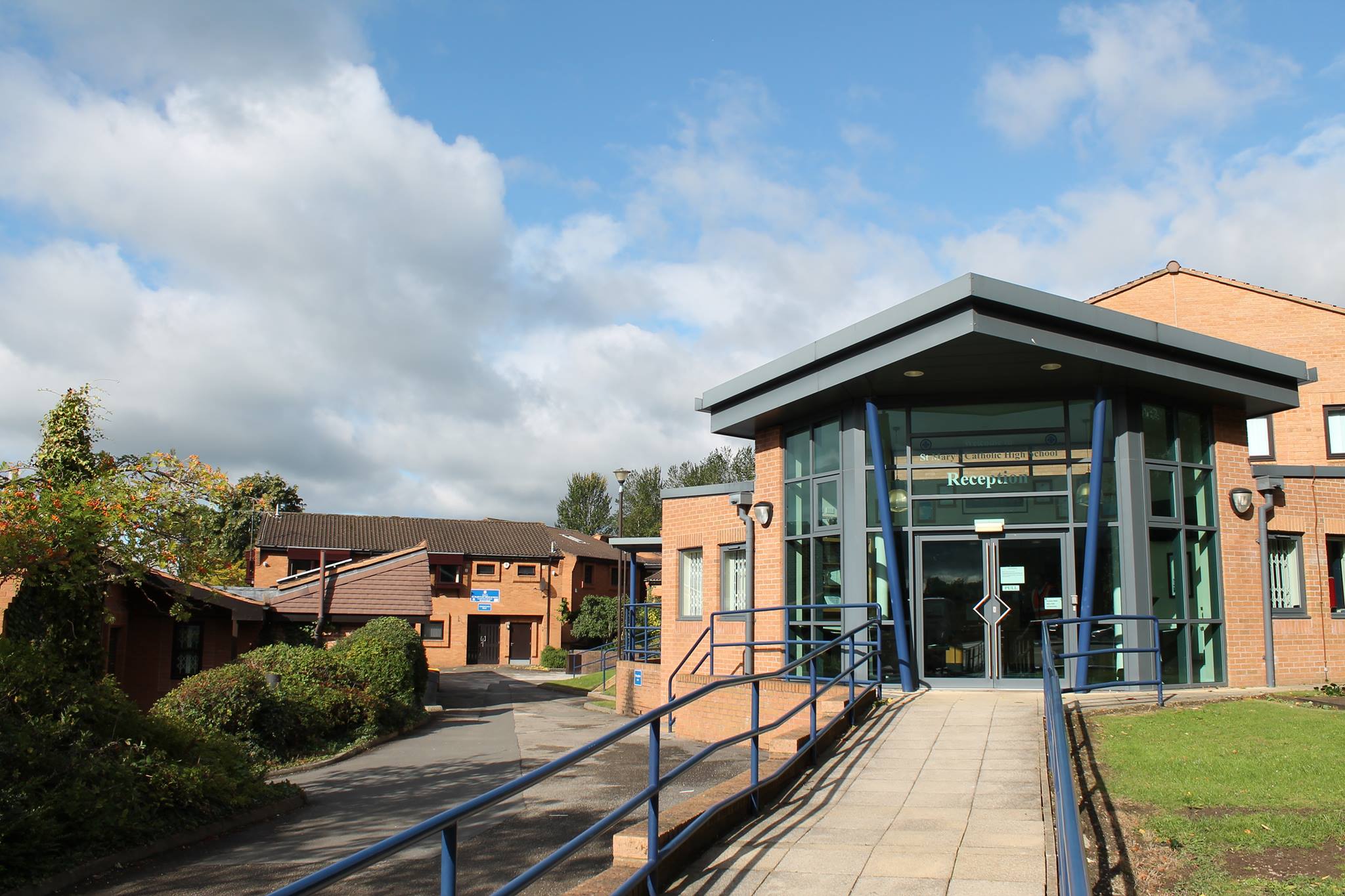
Ash Green Images

Images are sourced within 2km of 53.238688/-1.4769563 or Grid Reference SK3571. Thanks to Geograph Open Source API. All images are credited.

Barley field near the Linacre Reservoirs Chesterfield is seen in the distance.
Barley field near the Linacre Reservoirs
Chesterfield is seen in the distance.
Outflow from Middle Linacre Reservoir
Lower Linacre Reservoir The smallest of the three reservoirs. The dam of the Middle Reservoir can be seen.
Lower Linacre Reservoir
The smallest of the three reservoirs. The dam of the Middle Reservoir can be seen.
Car park at Morrison's supermarket Chesterfield
Loundsley Green, Brockwell Lane OS BM on bridge

Sk 3653 7218
Loundsley Green, Brockwell Lane
OS BM on bridge Sk 3653 7218
Loundsley Green, Red House Walk OS BM on gatepost 

Sk 3666 7243
Loundsley Green, Red House Walk
OS BM on gatepost Sk 3666 7243
Loundsley Green, 12-15 Chiltern Court OS BM on 12-15 Chiltern Court

Sk3637 7190
Loundsley Green, 12-15 Chiltern Court
OS BM on 12-15 Chiltern Court Sk3637 7190
Lambs with their mothers near Ladywood Farm The valley behind carries a tributary of the River Hipper.
Lambs with their mothers near Ladywood Farm
The valley behind carries a tributary of the River Hipper.
Footpath to Old Brampton Perhaps not the most scenic start for the path as it leaves the A619.
Footpath to Old Brampton
Perhaps not the most scenic start for the path as it leaves the A619.
Footpath to Old Brampton The path has just left Westwick Lane. It descends to a brook, then climbs to Old Brampton which can be seen at the top of the hill.
Footpath to Old Brampton
The path has just left Westwick Lane. It descends to a brook, then climbs to Old Brampton which can be seen at the top of the hill.
Brook below Frithhallwood Farm A footpath crosses this brook. It is fine at the moment, but could be a challenge in the winter months when the mud is wet and soft.
Brook below Frithhallwood Farm
A footpath crosses this brook. It is fine at the moment, but could be a challenge in the winter months when the mud is wet and soft.
Footpath towards Chanderhill Two brooks are crossed in the valley bottom before the path climbs the other side.
Footpath towards Chanderhill
Two brooks are crossed in the valley bottom before the path climbs the other side.
Field of dandelions near Old Brampton From this field you can see down to Chesterfield with its crooked spire.
Field of dandelions near Old Brampton
From this field you can see down to Chesterfield with its crooked spire.
Old Brampton A view of the old part of the village from a footpath approaching from the south.
Old Brampton
A view of the old part of the village from a footpath approaching from the south.
Parish church of St Peter & St Paul, Old Brampton A Grade I listed church dating from the 14th Century with Victorian renovations. The lych gate is one of a pair donated in 1937.
Parish church of St Peter & St Paul, Old Brampton
A Grade I listed church dating from the 14th Century with Victorian renovations. The lych gate is one of a pair donated in 1937.
Chatsworth Road Medical Centre
Ladywoods Garage
Ladywoods Garage
Westbrook Drive - Brookside
Show me another place!

Ash Green is located at Grid Ref: SK3571 (Lat: 53.238688, Lng: -1.4769563)

Administrative County: Derbyshire

District: North East Derbyshire

Police Authority: Derbyshire

What 3 Words

///logs.talkative.woods. Near Walton, Derbyshire

Related Wikis

Related Videos

Sightseeing and Playground Hopping @ Sheffield, Gloucester, Chesterfield, Rotherham

More sightseeing and playground hopping around Sheffield, Gloucester, Chesterfield and Rotherham before back to Malaysia ...

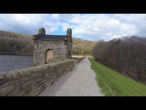
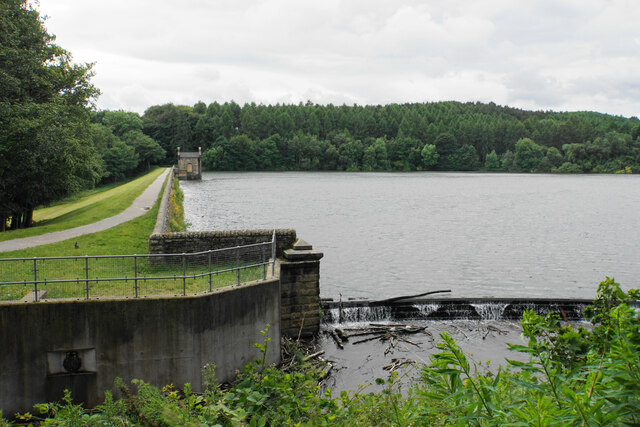
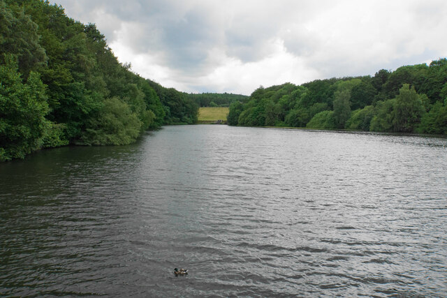
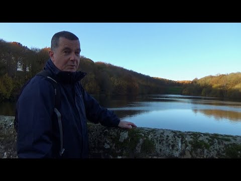
Linacre Reservoir near chesterfield Derbyshire

Linacre reservoir is a fantastic circular walk just outside chesterfield in Derbyshire.
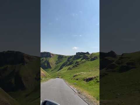
164: Old Brampton, Wigley and Linacre Reservoirs (North East Derbyshire 2021)

NORTH EAST DERBYSHIRE WALK FEATURING OLD BRAMPTON, WIGLEY AND LINACRE RESERVOIRS “Old Brampton, ...
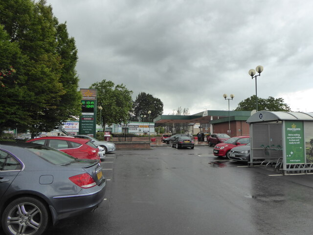
Nearby Amenities

Located within 500m of 53.238688,-1.4769563
Barrier: stile
Steps: 0
Stile: stepover
Lat/Long: 53.2353292/-1.4814691
Barrier: kissing_gate
Foot: yes
Lat/Long: 53.2356612/-1.4818312
Barrier: kissing_gate
Foot: yes
Lat/Long: 53.2357149/-1.4819338
Barrier: kissing_gate
Foot: yes
Lat/Long: 53.2363053/-1.483155
Ele: 124
Lat/Long: 53.2396494/-1.4717847
Ele: 124
Lat/Long: 53.239643/-1.4702934
Bus Stop
Bus: yes
Ele: 123.1737061
Public Transport: platform
Lat/Long: 53.2411149/-1.476014
Bus Stop
Bus: yes
Ele: 124.1350098
Public Transport: platform
Lat/Long: 53.2408822/-1.475572
Bus Stop
Bus: yes
Ele: 127.9802246
Public Transport: platform
Lat/Long: 53.239765/-1.4750999
Source: Unknown;Bing
Lat/Long: 53.2356875/-1.4818978
Barrier: stile
Stile: squeezer
Lat/Long: 53.2348719/-1.4788927
Post Box
Collection Times: Mo-Fr 09:00; Sa 07:00
Post Box Type: wall
Ref: S42 67D
Royal Cypher: GR
Royal Cypher Wikidata: Q33102273
Lat/Long: 53.2400973/-1.4807833
Barrier: cycle_barrier
Lat/Long: 53.2419181/-1.477789
Bench
Lat/Long: 53.2395466/-1.4712907
Direction: WSW
Generator Method: photovoltaic
Generator Output Electricity: yes
Generator Solar Modules: 12
Generator Source: solar
Generator Type: solar_photovoltaic_panel
Location: roof
Power: generator
Lat/Long: 53.2422884/-1.4777227
The data included in this document is from www.openstreetmap.org. The data is made available under ODbL.

Have you been to Ash Green?

Leave your review of Ash Green below (or comments, questions and feedback).