Belmont Park

Downs, Moorland in Derbyshire North East Derbyshire

England

Belmont Park

Former course of the A619 The road from Chesterfield to Baslow used to be bendier on this side of the hill, but many of the bends have been lessened. The new road runs to the right in this image where the road signs are.
Former course of the A619 Credit: Bill Boaden

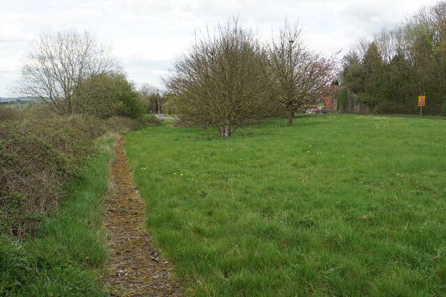
Belmont Park is a picturesque area located in the county of Derbyshire, England. Situated amidst the serene landscape of the Downs and Moorland, it offers visitors a perfect blend of natural beauty and recreational activities. Spanning over a vast expanse of land, Belmont Park is renowned for its stunning views, diverse flora and fauna, and rich historical significance.

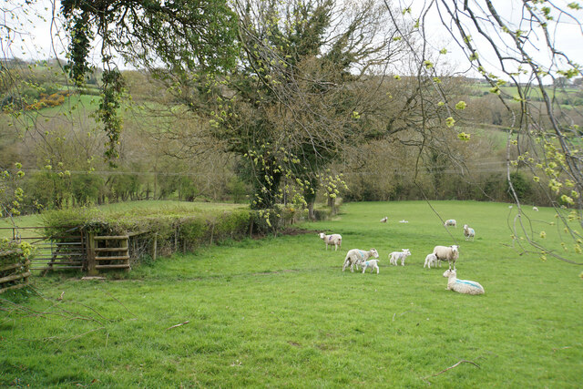
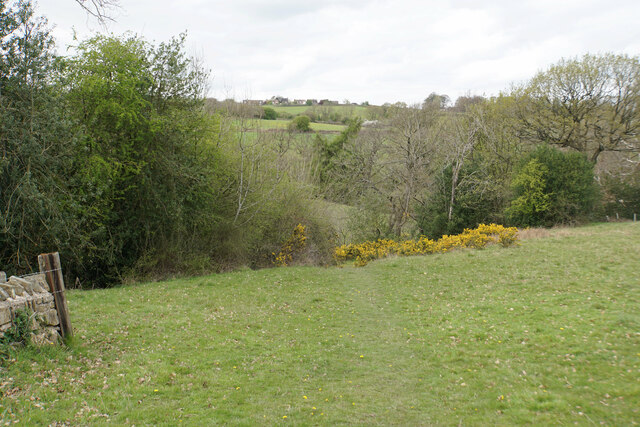
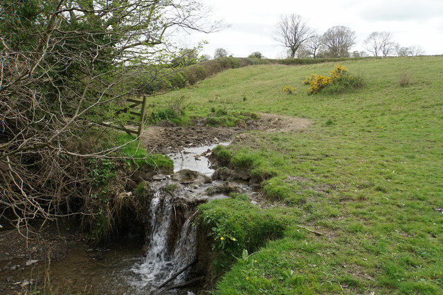
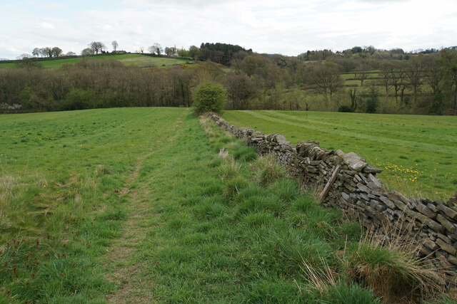
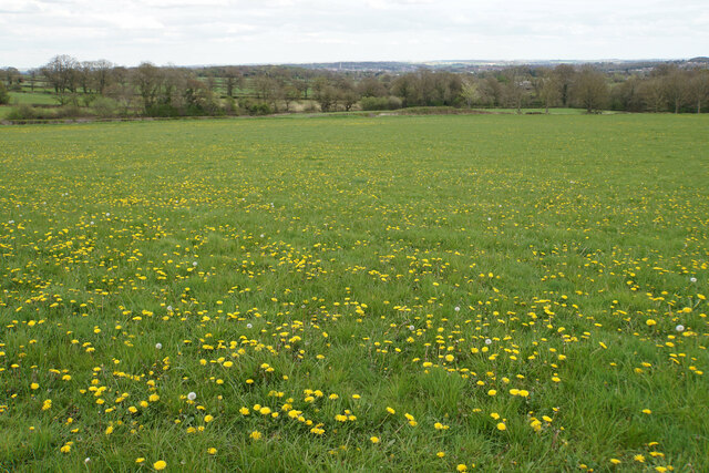
The park boasts rolling hills, lush green meadows, and dense woodlands, providing a haven for nature enthusiasts and outdoor lovers. Its well-maintained trails and pathways make it an ideal destination for hiking, walking, and cycling, allowing visitors to explore the park’s captivating surroundings at their own pace. The Downs, with their gently sloping hills and open grasslands, offer panoramic vistas that are a treat for the eyes.

Belmont Park is also home to an array of wildlife, making it a popular spot for birdwatching and wildlife observation. The Moorland, with its heather-covered expanses and rocky outcrops, is particularly known for its diverse bird species, including the elusive merlin and the endangered short-eared owl.

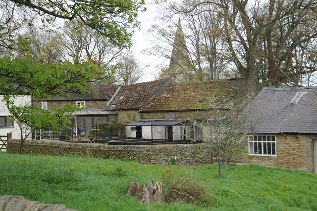
The park holds historical significance as well, with traces of ancient settlements and archaeological sites. Ruins of old stone structures and burial mounds can be found, providing a glimpse into the area's past. Additionally, Belmont Park has a rich cultural heritage, with local folklore and traditions still cherished by the community.

Visitors to Belmont Park can enjoy picnics, photography, or simply unwinding amidst the tranquil atmosphere. The park also hosts various events and activities throughout the year, including nature walks, educational programs, and festivals that celebrate the region's heritage. With its natural beauty, diverse wildlife, and historical significance, Belmont Park is a must-visit destination for those seeking solace in nature and a deeper connection to Derbyshire's past.

If you have any feedback on the listing, please let us know in the comments section below.
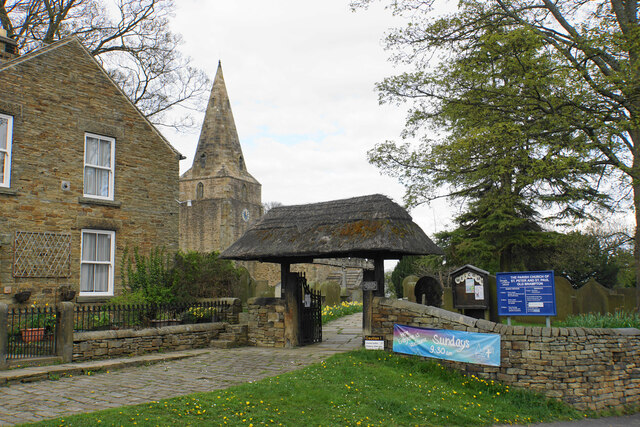
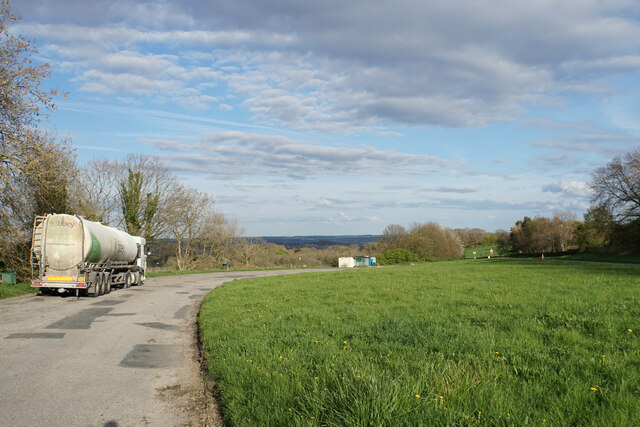
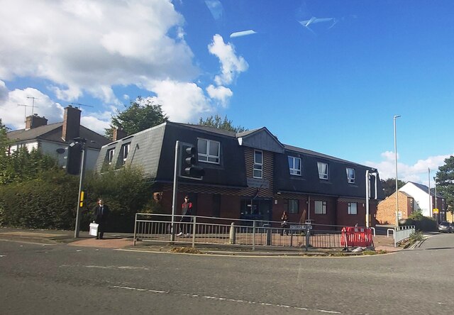
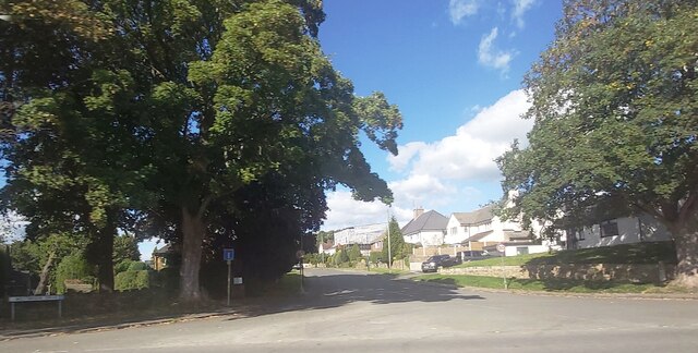
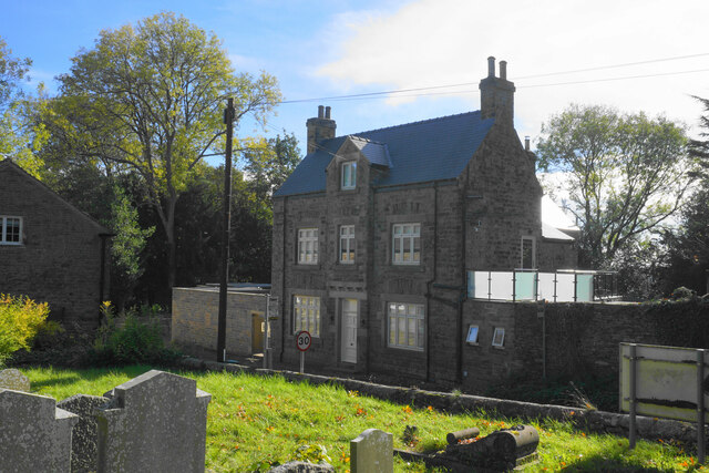
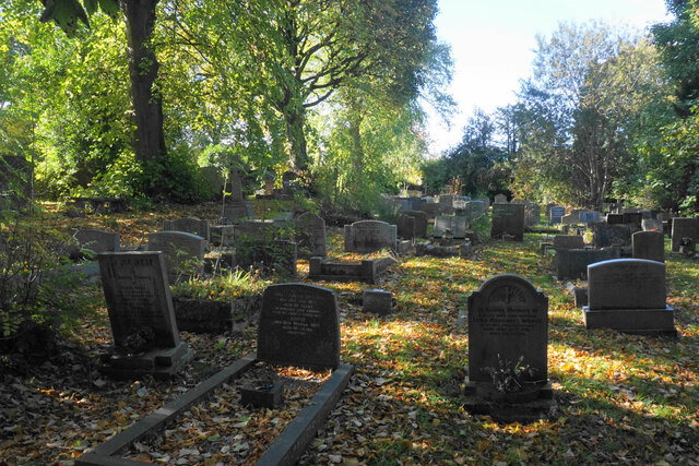
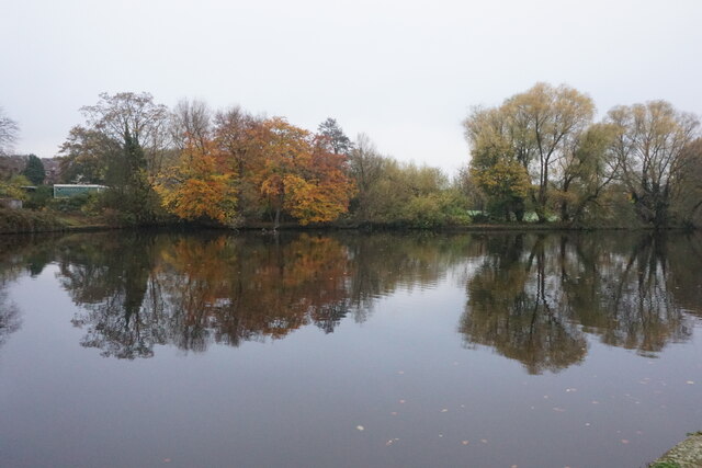
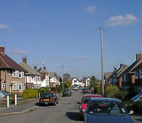
Belmont Park Images

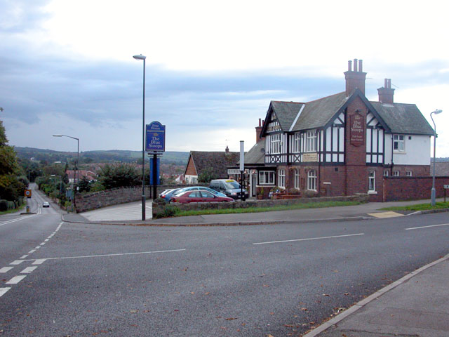
Images are sourced within 2km of 53.228872/-1.4850751 or Grid Reference SK3470. Thanks to Geograph Open Source API. All images are credited.

Former course of the A619 The road from Chesterfield to Baslow used to be bendier on this side of the hill, but many of the bends have been lessened. The new road runs to the right in this image where the road signs are.
Former course of the A619
The road from Chesterfield to Baslow used to be bendier on this side of the hill, but many of the bends have been lessened. The new road runs to the right in this image where the road signs are.
Lambs with their mothers near Ladywood Farm The valley behind carries a tributary of the River Hipper.
Lambs with their mothers near Ladywood Farm
The valley behind carries a tributary of the River Hipper.
Footpath to Old Brampton Perhaps not the most scenic start for the path as it leaves the A619.
Footpath to Old Brampton
Perhaps not the most scenic start for the path as it leaves the A619.
Footpath to Old Brampton The path has just left Westwick Lane. It descends to a brook, then climbs to Old Brampton which can be seen at the top of the hill.
Footpath to Old Brampton
The path has just left Westwick Lane. It descends to a brook, then climbs to Old Brampton which can be seen at the top of the hill.
Brook below Frithhallwood Farm A footpath crosses this brook. It is fine at the moment, but could be a challenge in the winter months when the mud is wet and soft.
Brook below Frithhallwood Farm
A footpath crosses this brook. It is fine at the moment, but could be a challenge in the winter months when the mud is wet and soft.
Footpath towards Chanderhill Two brooks are crossed in the valley bottom before the path climbs the other side.
Footpath towards Chanderhill
Two brooks are crossed in the valley bottom before the path climbs the other side.
Field of dandelions near Old Brampton From this field you can see down to Chesterfield with its crooked spire.
Field of dandelions near Old Brampton
From this field you can see down to Chesterfield with its crooked spire.
Old Brampton A view of the old part of the village from a footpath approaching from the south.
Old Brampton
A view of the old part of the village from a footpath approaching from the south.
Parish church of St Peter & St Paul, Old Brampton A Grade I listed church dating from the 14th Century with Victorian renovations. The lych gate is one of a pair donated in 1937.
Parish church of St Peter & St Paul, Old Brampton
A Grade I listed church dating from the 14th Century with Victorian renovations. The lych gate is one of a pair donated in 1937.
Large layby off the A619 The old course of the road is now used as a layby. The new road is to the right.
Large layby off the A619
The old course of the road is now used as a layby. The new road is to the right.
Oil seed rape above Ladywood Farm The field is on a hillside sloping down towards Chesterfield.
Oil seed rape above Ladywood Farm
The field is on a hillside sloping down towards Chesterfield.
Chatsworth Road Medical Centre
Ladywoods Garage
Ladywoods Garage
Westbrook Drive - Brookside
Large Layby off the A619
The former George & Dragon Once the village pub but now a private residence. It is viewed from the churchyard.
The former George & Dragon
Once the village pub but now a private residence. It is viewed from the churchyard.
The churchyard of St Peter & St Paul With restful autumn hues.
The churchyard of St Peter & St Paul
With restful autumn hues.
Walton Dam A reservoir constructed to power a former corn mill. It is now a pleasant enclave amongst a lot of new housing in Walton.
Walton Dam
A reservoir constructed to power a former corn mill. It is now a pleasant enclave amongst a lot of new housing in Walton.
Show me another place!

Belmont Park is located at Grid Ref: SK3470 (Lat: 53.228872, Lng: -1.4850751)

Administrative County: Derbyshire

District: North East Derbyshire

Police Authority: Derbyshire

What 3 Words

///pokes.mats.people. Near Walton, Derbyshire

Nearby Locations

Belmont Park

Related Wikis

Nearby Amenities

Located within 500m of 53.228872,-1.4850751
Foot: yes
Lat/Long: 53.2257969/-1.4853486
Bus Stop
Proctor's Nurseries
Bus: yes
Ele: 111.0000000
Naptan AtcoCode: 1000DBCP7716
Naptan NaptanCode: dbsjadtg
Public Transport: platform
Lat/Long: 53.2308863/-1.4828144
Bus Stop
Proctor's Nurseries
Bus: yes
Ele: 109.0000000
Public Transport: platform
Lat/Long: 53.2311528/-1.4821331
Bus Stop
Greendale Avenue
Bus: yes
Ele: 125.0000000
Public Transport: platform
Lat/Long: 53.2255198/-1.4879211
Bus Stop
Greendale Avenue
Bus: yes
Naptan AtcoCode: 1000DHHG7699
Naptan NaptanCode: dbsgadpm
Public Transport: platform
Lat/Long: 53.2258774/-1.4873792
Bus Stop
Foxbrook Farm
Bus: yes
Ele: 131.0000000
Public Transport: platform
Lat/Long: 53.2278601/-1.4882013
Bus Stop
Foxbrook Farm
Bus: yes
Ele: 137.0000000
Public Transport: platform
Lat/Long: 53.229945/-1.4886399
Barrier: stile
Steps: 3
Stile: wall
Lat/Long: 53.233084/-1.485694
Barrier: stile
Steps: 1
Stile: wall
Lat/Long: 53.2316758/-1.4893152
Barrier: stile
Stile: squeezer
Lat/Long: 53.2302799/-1.4888622
Bus Stop
Holymoor Road
Bus: yes
Public Transport: platform
Lat/Long: 53.2301375/-1.4876764
Bus Stop
Brookside Bar
Bus: yes
Naptan AtcoCode: 100000008426
Naptan NaptanCode: dbsdwmpj
Public Transport: platform
Lat/Long: 53.2313145/-1.4791699
Barrier: stile
Foot: yes
Lat/Long: 53.2257798/-1.4852627
Generator Method: photovoltaic
Generator Output Electricity: yes
Generator Source: solar
Generator Type: solar_photovoltaic_panel
Location: roof
Power: generator
Lat/Long: 53.2252882/-1.4871029
Generator Method: photovoltaic
Generator Output Electricity: yes
Generator Source: solar
Generator Type: solar_photovoltaic_panel
Location: roof
Power: generator
Lat/Long: 53.2279585/-1.488731
Generator Method: photovoltaic
Generator Output Electricity: yes
Generator Source: solar
Generator Type: solar_photovoltaic_panel
Location: roof
Power: generator
Lat/Long: 53.2279103/-1.4887283
Generator Method: photovoltaic
Generator Output Electricity: yes
Generator Source: solar
Generator Type: solar_photovoltaic_panel
Location: roof
Power: generator
Lat/Long: 53.2306326/-1.4794653
Generator Method: photovoltaic
Generator Output Electricity: yes
Generator Source: solar
Generator Type: solar_photovoltaic_panel
Location: roof
Power: generator
Lat/Long: 53.2289619/-1.4785815
Generator Method: photovoltaic
Generator Output Electricity: yes
Generator Source: solar
Generator Type: solar_photovoltaic_panel
Location: roof
Power: generator
Lat/Long: 53.2304362/-1.4806502
Generator Method: photovoltaic
Generator Output Electricity: yes
Generator Source: solar
Generator Type: solar_photovoltaic_panel
Location: roof
Power: generator
Lat/Long: 53.2303197/-1.4808207
Generator Method: photovoltaic
Generator Output Electricity: yes
Generator Source: solar
Generator Type: solar_photovoltaic_panel
Location: roof
Power: generator
Lat/Long: 53.2302127/-1.4809985
Generator Method: photovoltaic
Generator Output Electricity: yes
Generator Source: solar
Generator Type: solar_photovoltaic_panel
Location: roof
Power: generator
Lat/Long: 53.2301319/-1.4812024
Generator Method: photovoltaic
Generator Output Electricity: yes
Generator Source: solar
Generator Type: solar_photovoltaic_panel
Location: roof
Power: generator
Lat/Long: 53.2304086/-1.4811345
Bus Stop
Brookside Bar
Bus: yes
Naptan AtcoCode: 1000DBCB7715
Naptan NaptanCode: dbsagpgw
Public Transport: platform
Lat/Long: 53.2314524/-1.4798927
The data included in this document is from www.openstreetmap.org. The data is made available under ODbL.

Have you been to Belmont Park?

Leave your review of Belmont Park below (or comments, questions and feedback).