Chalford Green

Downs, Moorland in Oxfordshire West Oxfordshire

England

Chalford Green

Lane down to Lidstone From A44 the lane down to Lidstone
Lane down to Lidstone Credit: Shaun Ferguson

Chalford Green is a picturesque village located in the county of Oxfordshire, England. Situated amidst the stunning Downs and Moorland landscape, the village offers residents and visitors a tranquil and idyllic environment. With a population of approximately 400 people, Chalford Green maintains a close-knit community feel.

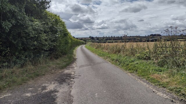
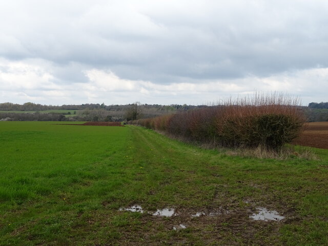
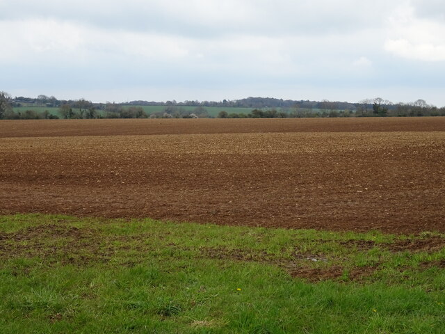
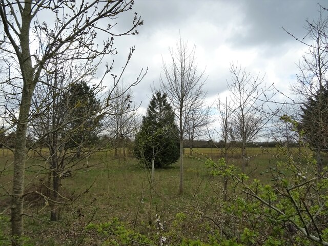
The village is renowned for its beautiful natural surroundings. The Downs, characterized by their rolling hills and vast open spaces, provide ample opportunities for outdoor activities such as hiking, horseback riding, and picnicking. The Moorland, on the other hand, showcases a unique ecosystem with its heather-covered expanses and diverse wildlife.

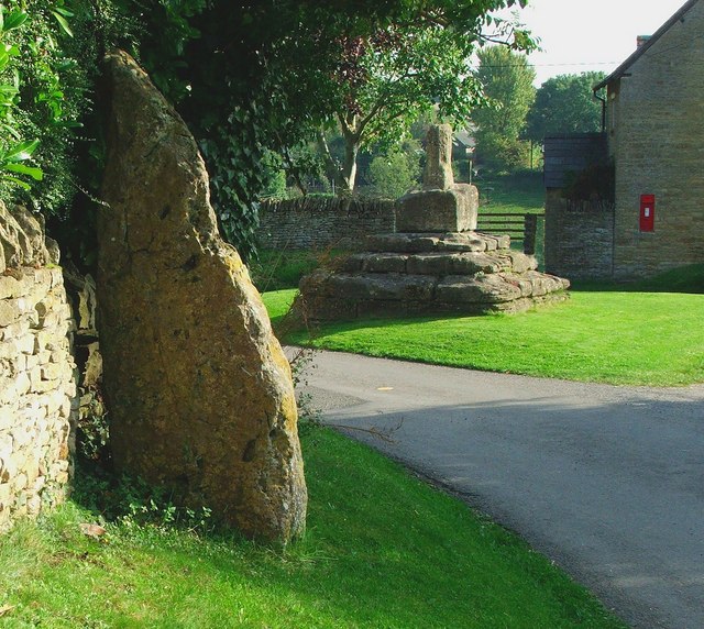
Chalford Green itself is a charming settlement, with a mixture of traditional stone cottages and more modern houses. The village retains its historic character, with a few local amenities including a village hall, a quaint pub, and a small convenience store. The local primary school is highly regarded for its nurturing environment and excellent academic standards.

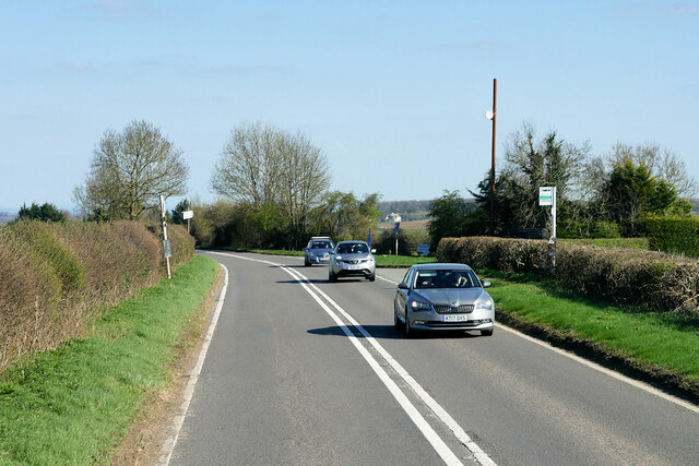
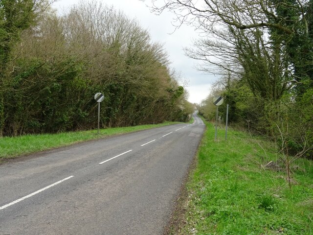
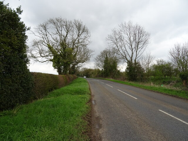
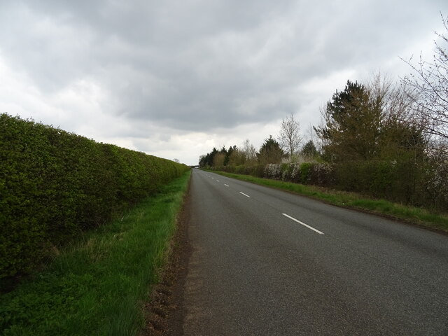
Transport links to Chalford Green are relatively limited, with the nearest train station situated a few miles away. However, this adds to the village's appeal for those seeking a peaceful retreat away from the hustle and bustle of urban life.

Overall, Chalford Green, with its stunning Downs and Moorland surroundings, close-knit community, and peaceful atmosphere, is a truly special place to live or visit, offering a slice of rural paradise in the heart of Oxfordshire.

If you have any feedback on the listing, please let us know in the comments section below.

Chalford Green Images

Images are sourced within 2km of 51.919545/-1.5037874 or Grid Reference SP3424. Thanks to Geograph Open Source API. All images are credited.

Lane down to Lidstone From A44 the lane down to Lidstone
Lane down to Lidstone
From A44 the lane down to Lidstone
Layby on the A44 near Chalford Oaks The A44 is a major road in the United Kingdom that runs for 155 miles from Oxford in southern England to Aberystwyth in west Wales.
<span class="nowrap"><a title="http://www.sabre-roads.org.uk/wiki/index.php?title=A44" rel="nofollow ugc noopener" href="http://www.sabre-roads.org.uk/wiki/index.php?title=A44">Link</a><img style="margin-left:2px;" alt="External link" title="External link - shift click to open in new window" src="https://s1.geograph.org.uk/img/external.png" width="10" height="10"/></span>  SABRE
<span class="nowrap"><a title="https://en.wikipedia.org/wiki/A44_road" rel="nofollow ugc noopener" href="https://en.wikipedia.org/wiki/A44_road">Link</a><img style="margin-left:2px;" alt="External link" title="External link - shift click to open in new window" src="https://s1.geograph.org.uk/img/external.png" width="10" height="10"/></span>  Wikipedia
Layby on the A44 near Chalford Oaks
The A44 is a major road in the United Kingdom that runs for 155 miles from Oxford in southern England to Aberystwyth in west Wales. LinkExternal link SABRE LinkExternal link Wikipedia
Layby on the A44 near Old Chalford The A44 is a major road in the United Kingdom that runs for 155 miles from Oxford in southern England to Aberystwyth in west Wales.
<span class="nowrap"><a title="http://www.sabre-roads.org.uk/wiki/index.php?title=A44" rel="nofollow ugc noopener" href="http://www.sabre-roads.org.uk/wiki/index.php?title=A44">Link</a><img style="margin-left:2px;" alt="External link" title="External link - shift click to open in new window" src="https://s1.geograph.org.uk/img/external.png" width="10" height="10"/></span>  SABRE
<span class="nowrap"><a title="https://en.wikipedia.org/wiki/A44_road" rel="nofollow ugc noopener" href="https://en.wikipedia.org/wiki/A44_road">Link</a><img style="margin-left:2px;" alt="External link" title="External link - shift click to open in new window" src="https://s1.geograph.org.uk/img/external.png" width="10" height="10"/></span>  Wikipedia
Layby on the A44 near Old Chalford
The A44 is a major road in the United Kingdom that runs for 155 miles from Oxford in southern England to Aberystwyth in west Wales. LinkExternal link SABRE LinkExternal link Wikipedia
HGV on the A44 near Chalford Park Grenhaul's Scania S500 (S500 GHL) travelling north on the A44 between Enstone and Chipping Norton
HGV on the A44 near Chalford Park
Grenhaul's Scania S500 (S500 GHL) travelling north on the A44 between Enstone and Chipping Norton
A44 near Enstone The A44 is a major road in the United Kingdom that runs for 155 miles from Oxford in southern England to Aberystwyth in west Wales.
<span class="nowrap"><a title="http://www.sabre-roads.org.uk/wiki/index.php?title=A44" rel="nofollow ugc noopener" href="http://www.sabre-roads.org.uk/wiki/index.php?title=A44">Link</a><img style="margin-left:2px;" alt="External link" title="External link - shift click to open in new window" src="https://s1.geograph.org.uk/img/external.png" width="10" height="10"/></span>  SABRE
<span class="nowrap"><a title="https://en.wikipedia.org/wiki/A44_road" rel="nofollow ugc noopener" href="https://en.wikipedia.org/wiki/A44_road">Link</a><img style="margin-left:2px;" alt="External link" title="External link - shift click to open in new window" src="https://s1.geograph.org.uk/img/external.png" width="10" height="10"/></span>  Wikipedia
A44 near Enstone
The A44 is a major road in the United Kingdom that runs for 155 miles from Oxford in southern England to Aberystwyth in west Wales. LinkExternal link SABRE LinkExternal link Wikipedia
Bus Stop on the A44 near Enstone The A44 is a major road in the United Kingdom that runs for 155 miles from Oxford in southern England to Aberystwyth in west Wales.
<span class="nowrap"><a title="http://www.sabre-roads.org.uk/wiki/index.php?title=A44" rel="nofollow ugc noopener" href="http://www.sabre-roads.org.uk/wiki/index.php?title=A44">Link</a><img style="margin-left:2px;" alt="External link" title="External link - shift click to open in new window" src="https://s1.geograph.org.uk/img/external.png" width="10" height="10"/></span>  SABRE
<span class="nowrap"><a title="https://en.wikipedia.org/wiki/A44_road" rel="nofollow ugc noopener" href="https://en.wikipedia.org/wiki/A44_road">Link</a><img style="margin-left:2px;" alt="External link" title="External link - shift click to open in new window" src="https://s1.geograph.org.uk/img/external.png" width="10" height="10"/></span>  Wikipedia
Bus Stop on the A44 near Enstone
The A44 is a major road in the United Kingdom that runs for 155 miles from Oxford in southern England to Aberystwyth in west Wales. LinkExternal link SABRE LinkExternal link Wikipedia
B4026 towards Charlbury
Field and hedgerow off the B4026
Prepared field off the B4026
B4026 towards Charlbury
Young woodland beside he B4026
B4026 towards Charlbury
Track to Old Chalford
B4026, Chalford Green Towards Charlbury.
B4026, Chalford Green
Towards Charlbury.
Crop field and hedgerow
Wychwood Way Track (footpath) off the B4026.
Wychwood Way
Track (footpath) off the B4026.
Prepared field beside the Wychwood Way
B4026 towards Charlbury
Show me another place!

Chalford Green is located at Grid Ref: SP3424 (Lat: 51.919545, Lng: -1.5037874)

Administrative County: Oxfordshire

District: West Oxfordshire

Police Authority: Thames Valley

What 3 Words

///taxed.revealing.skins. Near Chipping Norton, Oxfordshire

Nearby Locations

Chalford Green

Related Wikis

Old Chalford

Old Chalford is a hamlet in Enstone civil parish, about 2 miles (3 km) east of Chipping Norton, Oxfordshire. Old Chalford is on the River Glyme, which...

Hawk Stone

The Hawk Stone is a neolithic standing stone just north of the hamlet of Dean, Oxfordshire, England on Diddly Squat Farm belonging to Jeremy Clarkson....

Glyme Valley

Glyme Valley is a 28.9-hectare (71-acre) biological Site of Special Scientific Interest east of Chipping Norton in Oxfordshire. An area of 3 hectares...

Lidstone

Lidstone is a hamlet on the River Glyme in Oxfordshire, about 3 miles (5 km) east of Chipping Norton. The hamlet is in Enstone civil parish, about 1+1...

RAF Chipping Norton

Royal Air Force Chipping Norton or more simply RAF Chipping Norton is a former Royal Air Force satellite station located near Chipping Norton, Oxfordshire...

Dean, Oxfordshire

Dean is a hamlet in Spelsbury civil parish, about 2 miles (3 km) north of Charlbury and 3.5 miles (5.6 km) southeast of Chipping Norton, Oxfordshire. Its...

Taston

Taston is a hamlet in Spelsbury civil parish, about 1.6 miles (2.6 km) north of Charlbury and 4 miles (6.4 km) southeast of Chipping Norton, Oxfordshire...

Chipping Norton Rural District

Chipping Norton Rural District was a rural district in Oxfordshire, England from 1894 to 1974. It surrounded but did not include the town of Chipping Norton...

Nearby Amenities

Located within 500m of 51.919545,-1.5037874
Chalford Green
Is In: Oxfordshire, England, UK
Place: hamlet
Lat/Long: 51.9209157/-1.5023735
The data included in this document is from www.openstreetmap.org. The data is made available under ODbL.

Have you been to Chalford Green?

Leave your review of Chalford Green below (or comments, questions and feedback).