Alexandrina Flat
Downs, Moorland in Durham
England
Alexandrina Flat
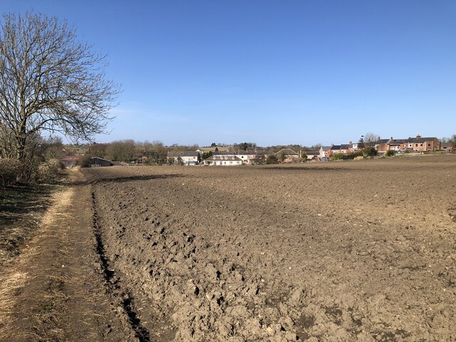
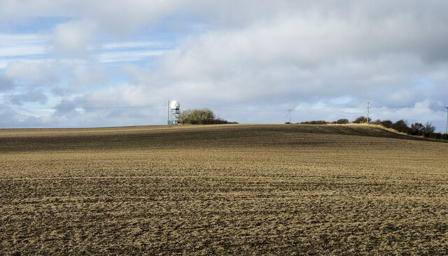
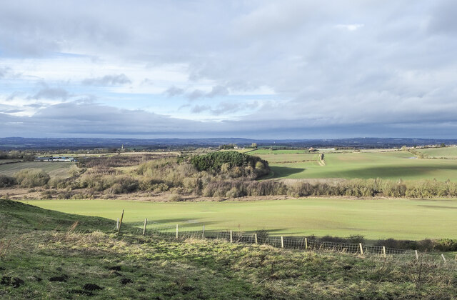
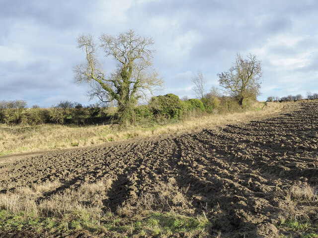
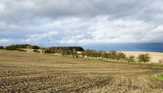
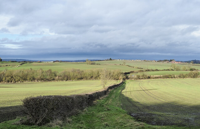
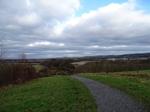
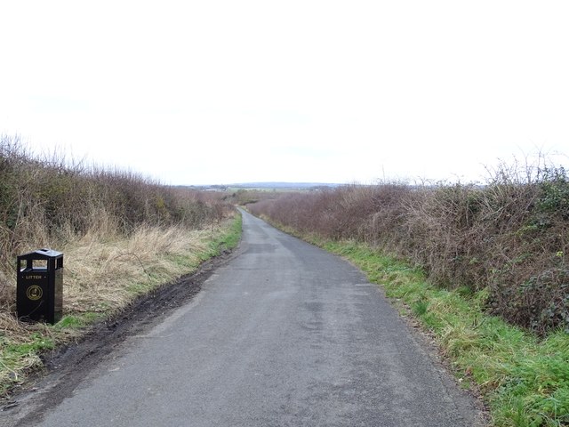
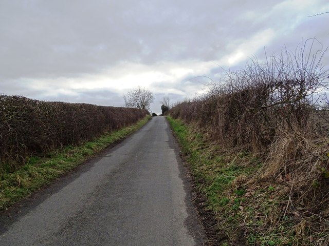
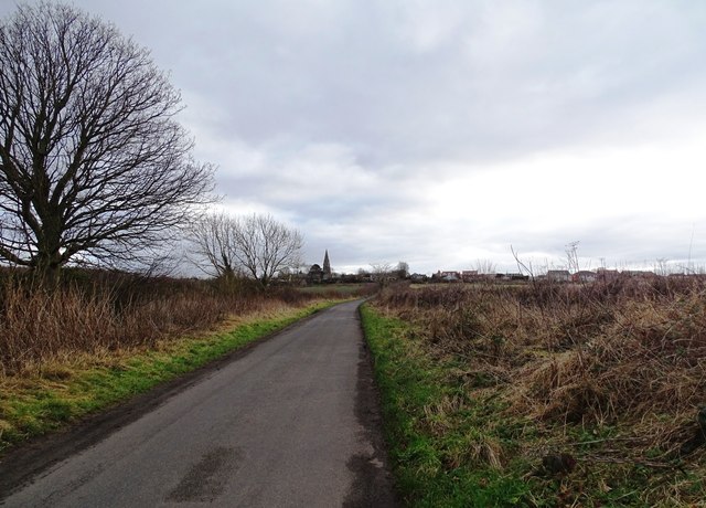
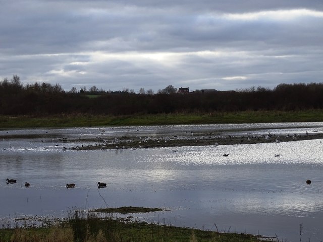
Alexandrina Flat, located in Durham, England, is a picturesque area known for its serene and idyllic landscape. Situated in the Downs and Moorland region, this flat expanse of land offers breathtaking views of the surrounding countryside.
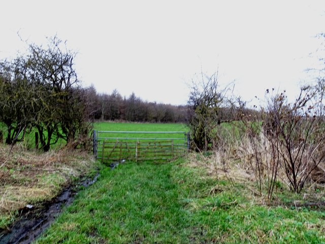
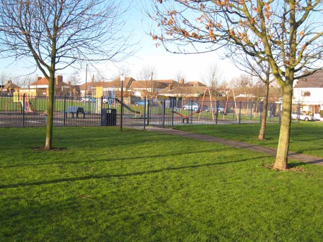
Covered in lush, green grass and dotted with small clusters of trees, Alexandrina Flat is a popular destination for nature enthusiasts and hikers alike. The flat terrain makes it an ideal spot for leisurely walks and picnics, allowing visitors to soak in the tranquility of the area. The gentle slopes and open fields create a peaceful ambiance, perfect for those seeking a break from the bustling city life.
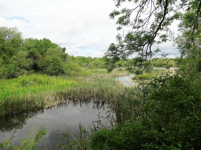
Wildlife thrives in this area, with various species of birds, small mammals, and insects calling Alexandrina Flat their home. The diversity of flora and fauna adds to the charm and natural beauty of the region, providing ample opportunities for wildlife enthusiasts and photographers to capture stunning moments.
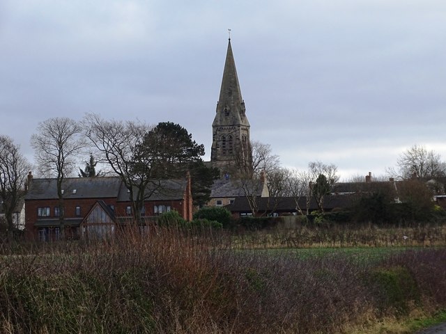
The flat also holds historical significance, with remnants of old settlements and ancient structures scattered across the landscape. These remnants serve as a testament to the rich history and heritage of the area, attracting history enthusiasts and researchers to explore and delve into the past.
Overall, Alexandrina Flat in Durham is a serene and captivating location, offering visitors a chance to immerse themselves in the beauty of nature, witness diverse wildlife, and uncover the secrets of the past.
If you have any feedback on the listing, please let us know in the comments section below.
Alexandrina Flat Images
Images are sourced within 2km of 54.813565/-1.4880217 or Grid Reference NZ3346. Thanks to Geograph Open Source API. All images are credited.

Alexandrina Flat is located at Grid Ref: NZ3346 (Lat: 54.813565, Lng: -1.4880217)
Unitary Authority: Sunderland
Police Authority: Northumbria
What 3 Words
///love.urban.hubcaps. Near West Rainton, Co. Durham
Nearby Locations
Related Wikis

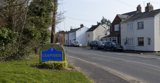
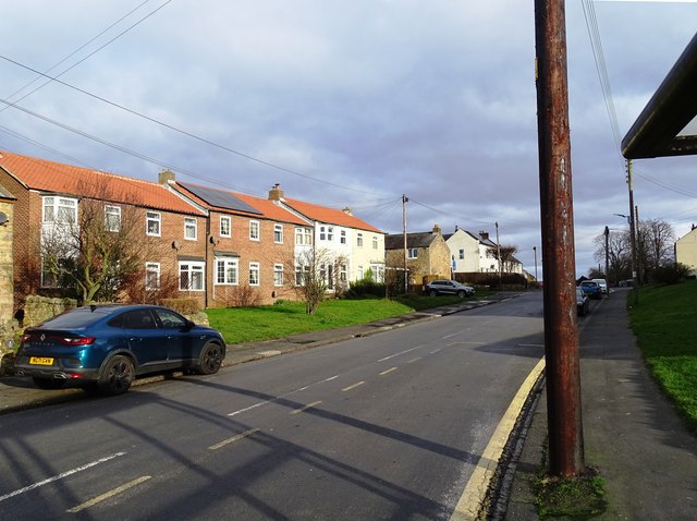
West Rainton
West Rainton is a village in the civil parish of West Rainton and Leamside, in County Durham, England. It is situated between Durham and Houghton-le-Spring...

Middle Rainton
Middle Rainton was a small village between West Rainton and East Rainton on the boundary of County Durham and the City of Sunderland, north east England...
Rainton Gate
Rainton Gate is a village in County Durham, in England. It is situated between Durham and Houghton-le-Spring, next to West Rainton. == References ==
East Rainton
East Rainton is a village and former civil parish, now in the parish of Hetton, in the Sunderland district, in the county of Tyne and Wear, England. It...
High Moorsley
High Moorsley is a small village 1 mile (1.6 km) south-west of Hetton-le-Hole in the City of Sunderland, north east England. It is the site of the first...
Rainton Meadows railway station
Rainton Meadows railway station served the village of West Rainton, County Durham, England from 1840 to 1844 on the Durham Junction Railway. == History... ==
Low Moorsley
Low Moorsley is a small village just outside Hetton-le-Hole in the City of Sunderland, north east England. It was the birthplace of serial killer, Mary...

Pittington
Pittington is a village and civil parish in County Durham, in England. It is situated a few miles north-east of Durham. The population as taken at the...
Nearby Amenities
Located within 500m of 54.813565,-1.4880217Have you been to Alexandrina Flat?
Leave your review of Alexandrina Flat below (or comments, questions and feedback).