Yafforth Moor
Downs, Moorland in Yorkshire Hambleton
England
Yafforth Moor
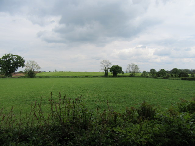
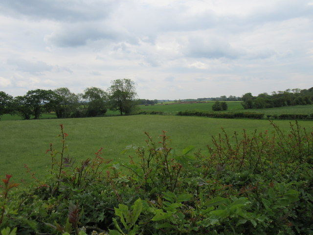
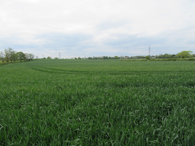
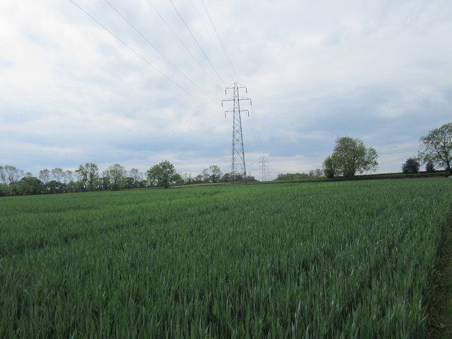
Yafforth Moor is a picturesque area located in North Yorkshire, England. Situated in the scenic region of Yorkshire Downs, it encompasses a vast expanse of moorland that stretches across approximately 2.5 square miles. The moor is nestled within the beautiful countryside, offering visitors a tranquil and serene atmosphere.
Characterized by its rolling hills, Yafforth Moor boasts breathtaking panoramic views of the surrounding landscape. The moorland is covered with heather, which blooms into a vibrant purple hue during the summer months, creating a stunning and colorful vista. The area is also home to various species of wildlife, including birds, rabbits, and occasionally deer, making it a haven for nature enthusiasts and birdwatchers.
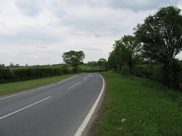
Yafforth Moor is a popular destination for outdoor activities such as walking, hiking, and cycling. A network of well-maintained footpaths allows visitors to explore the area and take in the natural beauty at their own pace. The moorland is intersected by several streams and small water bodies, adding to the charm of the landscape.
The tranquility and seclusion offered by Yafforth Moor make it an ideal spot for those seeking a peaceful retreat. The absence of urban development and the untouched nature of the surroundings provide a sense of escapism from the hustle and bustle of everyday life.
Overall, Yafforth Moor in Yorkshire is a captivating destination that offers visitors a chance to immerse themselves in the beauty of the countryside, explore the moorland, and connect with nature.
If you have any feedback on the listing, please let us know in the comments section below.
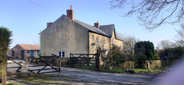
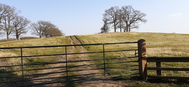
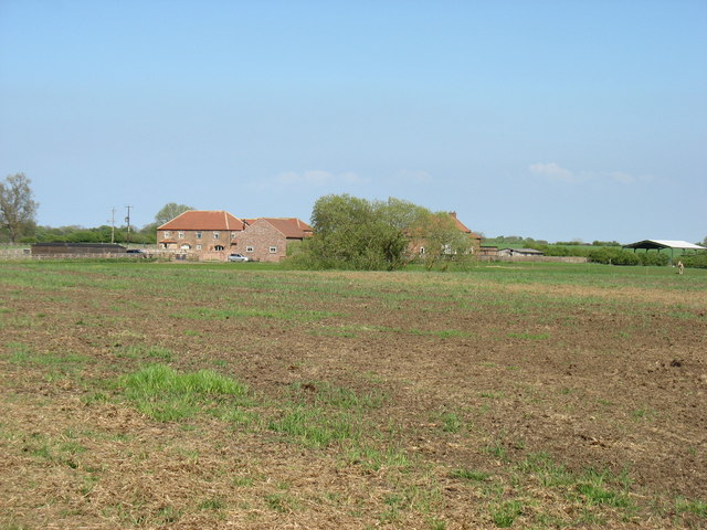
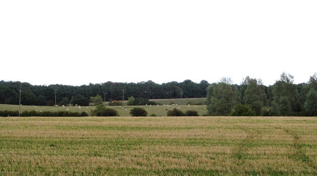
Yafforth Moor Images
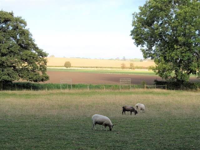
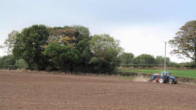
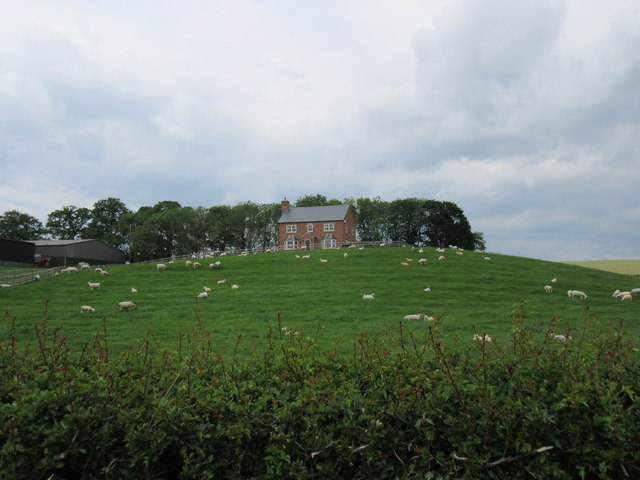
Images are sourced within 2km of 54.355792/-1.5010815 or Grid Reference SE3295. Thanks to Geograph Open Source API. All images are credited.
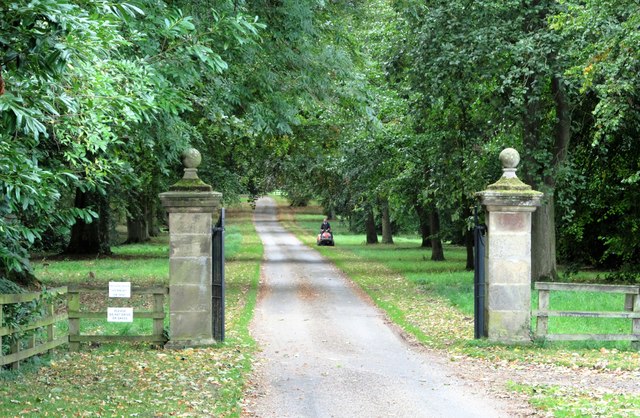
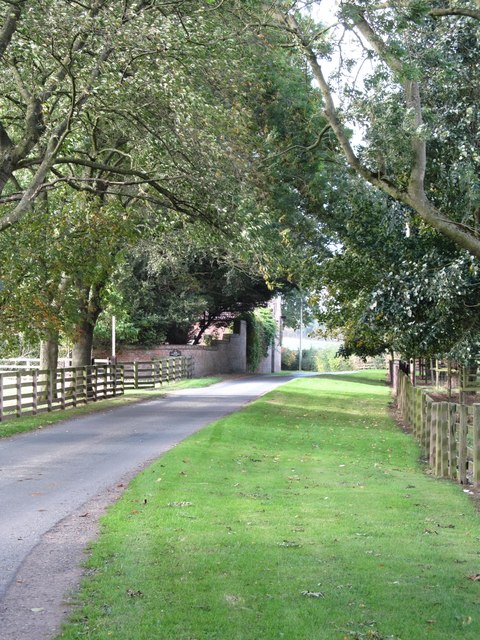
![Langton Park The parkland belonging to Little Langton Hall [there is another Langton Hall in North Yorkshire to the east of Malton] with a variety of mature trees. The hall is out of sight somewhere to the right and dates from the late 18th century.](https://s3.geograph.org.uk/geophotos/05/92/09/5920931_cfd82981.jpg)
Yafforth Moor is located at Grid Ref: SE3295 (Lat: 54.355792, Lng: -1.5010815)
Division: North Riding
Administrative County: North Yorkshire
District: Hambleton
Police Authority: North Yorkshire
What 3 Words
///rebel.shovels.eagles. Near Northallerton, North Yorkshire
Nearby Locations
Related Wikis
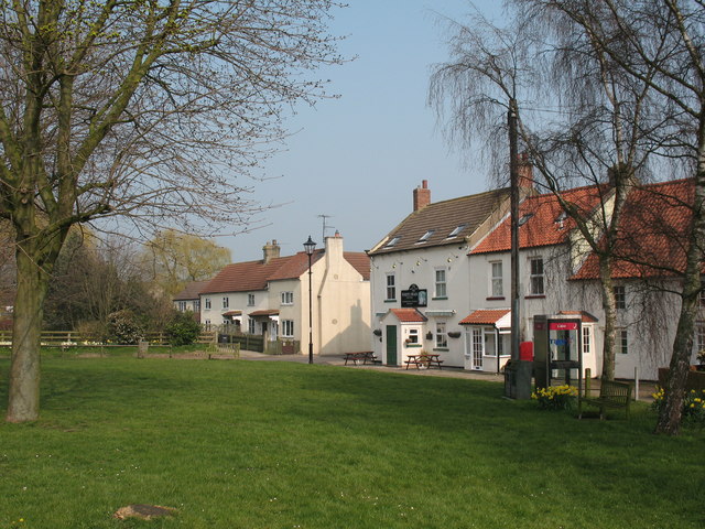
Yafforth
Yafforth is a village and civil parish in North Yorkshire, England about 1 mile (1.6 km) west of Northallerton. The village lies on the B6271 road between...

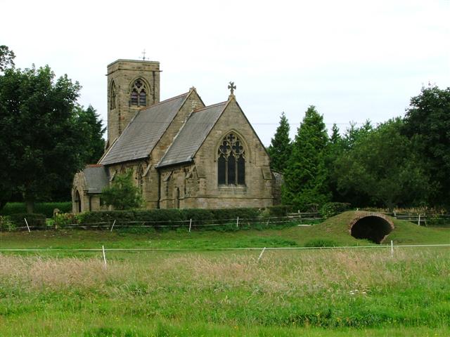
All Saints' Church, Yafforth
All Saints’ Church, Yafforth, is a Grade II listed parish church in the Church of England: 405 in Yafforth, North Yorkshire. == History == The church...

Little Langton
Little Langton is a hamlet and civil parish in North Yorkshire, England. The population of the hamlet was estimated at 50 in 2015. As the population remained...

Thrintoft
Thrintoft is a village and civil parish in the Hambleton district of North Yorkshire, England. It is situated close to the River Swale, 3 miles (5 km)...
Danby Wiske
Danby Wiske is a village and the main settlement in the civil parish of Danby Wiske with Lazenby, in North Yorkshire, England. The village lies 3.7 miles...

Great Langton
Great Langton is a small village and civil parish in North Yorkshire, England. The village lies on the B6271 road, between Scorton and Northallerton, on...

Ainderby railway station
Ainderby railway station was a railway station serving the villages of Ainderby Steeple and Morton-on-Swale in North Yorkshire, England. == History... ==
Streetlam
Streetlam is a hamlet in the Hambleton District of North Yorkshire, England, located 6 miles (9.7 km) north-west of Northallerton. The population fluctuates...
Nearby Amenities
Located within 500m of 54.355792,-1.5010815Have you been to Yafforth Moor?
Leave your review of Yafforth Moor below (or comments, questions and feedback).