Ansley Park

Downs, Moorland in Warwickshire North Warwickshire

England

Ansley Park

Ansley Lane junction Approaching the B4112 Birmingham Road from the west.
New Park Farm can be seen beyond.
Ansley Lane junction Credit: Jonathan Billinger

Ansley Park is a picturesque village located in Warwickshire, England. It is nestled amidst the stunning natural surroundings of the Downs and Moorland, offering its residents and visitors a truly idyllic setting.

The village is renowned for its peaceful atmosphere and is a popular destination for those seeking a tranquil retreat from the hustle and bustle of city life. The Downs, with their rolling hills and lush greenery, provide the perfect backdrop for outdoor activities such as hiking, cycling, and horse riding. The Moorland, on the other hand, offers vast expanses of open land, dotted with heather and gorse, providing a haven for wildlife and a serene environment for nature lovers.

Ansley Park itself is a charming community, characterized by its traditional architecture and well-maintained gardens. The village boasts a range of amenities, including a village hall, a local pub, and a primary school, making it an ideal place for families to settle down.

The area is steeped in history, with archaeological evidence suggesting human habitation dating back to ancient times. The village is also home to several historic landmarks, including a medieval church that attracts visitors from far and wide.

In summary, Ansley Park is a hidden gem in Warwickshire, offering a peaceful and picturesque setting amidst the Downs and Moorland. With its strong sense of community, range of amenities, and stunning natural surroundings, it is a place that truly captures the essence of rural England.

If you have any feedback on the listing, please let us know in the comments section below.
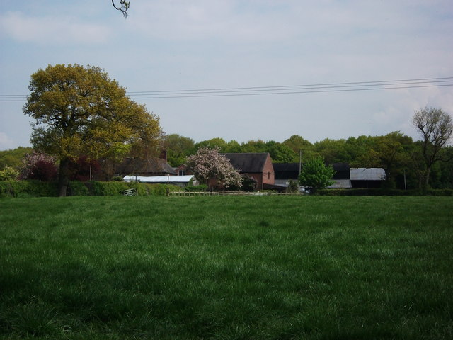
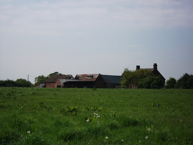
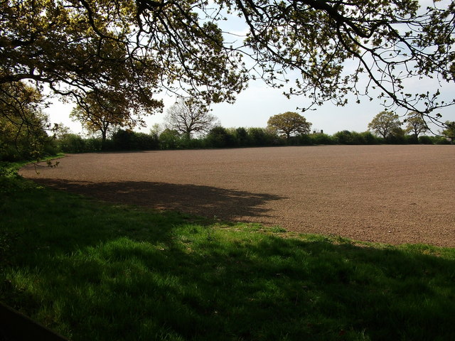
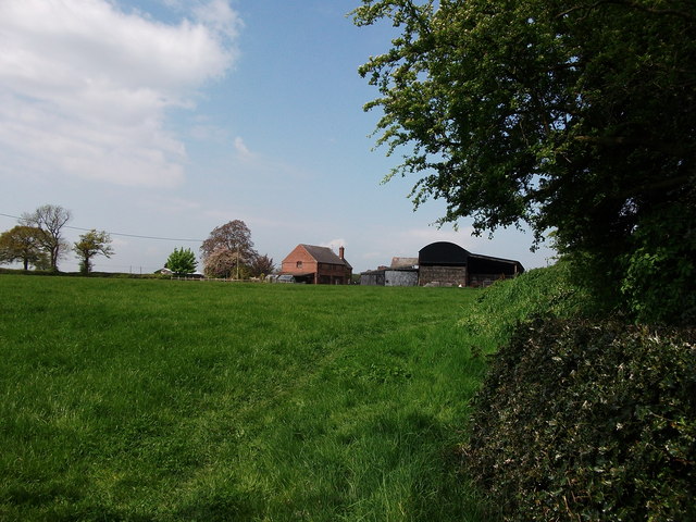
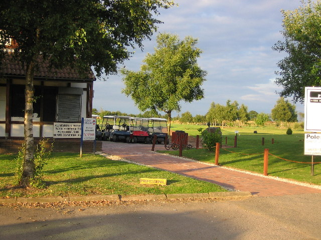
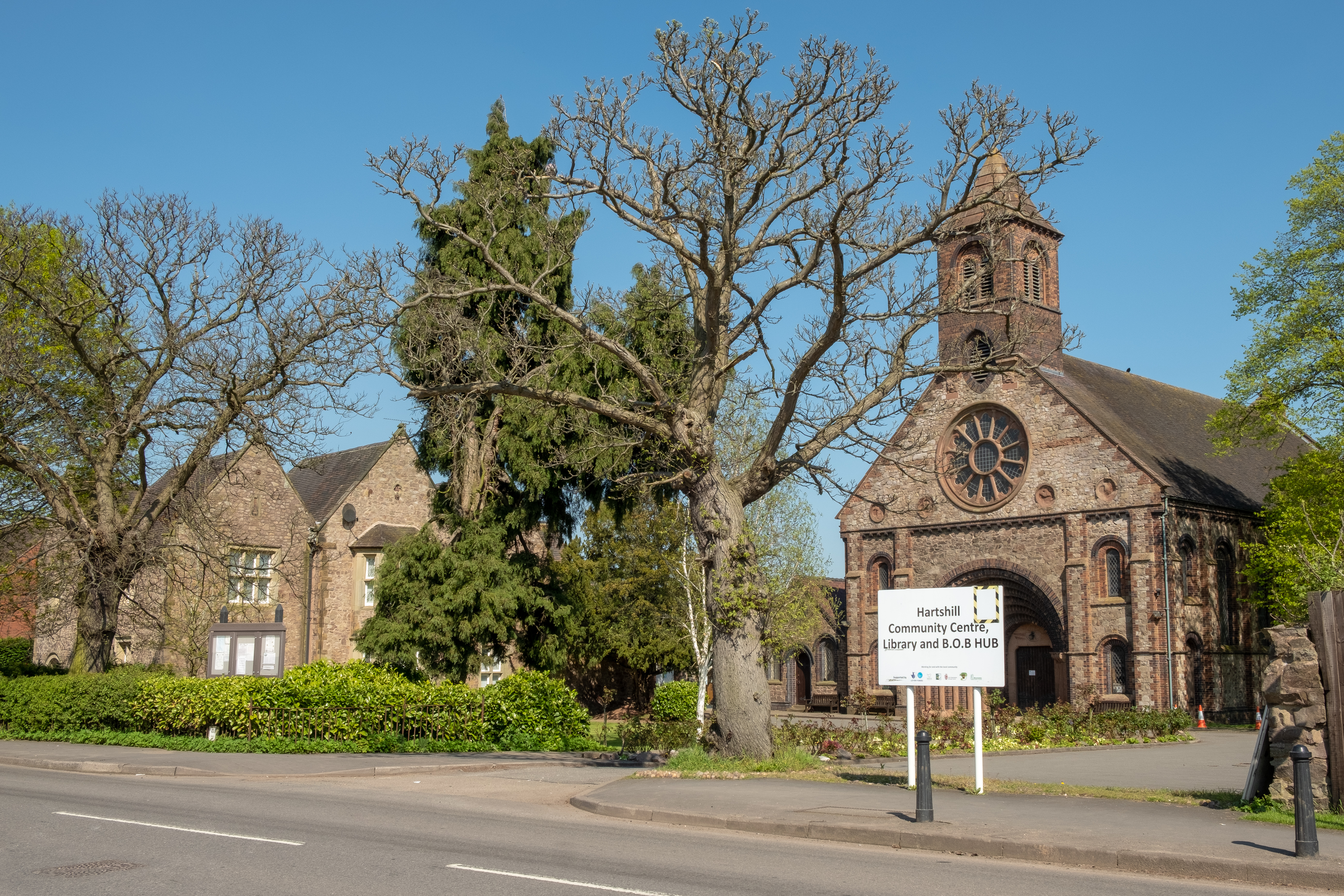
Ansley Park Images

Images are sourced within 2km of 52.536119/-1.5444745 or Grid Reference SP3093. Thanks to Geograph Open Source API. All images are credited.

Ansley Lane junction Approaching the B4112 Birmingham Road from the west.
New Park Farm can be seen beyond.
Ansley Lane junction
Approaching the B4112 Birmingham Road from the west. New Park Farm can be seen beyond.
Ludford Close Local authority housing in Ansley village.
Ludford Close
Local authority housing in Ansley village.
Church End The B4112 and the B4114 meet at this junction in Church End.
Church End
The B4112 and the B4114 meet at this junction in Church End.
Looking towards Ridgelane
Ox Hayes Farm, Church End A zoom view of Ox Hayes Farm near Church End. I would have got closer but it was a bit muddy and I had on my nice shoes (my wife would kill me!)
Ox Hayes Farm, Church End
A zoom view of Ox Hayes Farm near Church End. I would have got closer but it was a bit muddy and I had on my nice shoes (my wife would kill me!)
Lady Wood Farm, Ridge Lane
The rear of Ox Hayes Farm Seen from the path to Ridge Lane.
The old barns here are in a very derelict condition.
The rear of Ox Hayes Farm
Seen from the path to Ridge Lane. The old barns here are in a very derelict condition.
Cows and Ridge Lane transmission masts
Field near Ox Hayes Farm On the edge of the gridsquare, a view towards Ox Hayes Farm from a footbridge over the stream. The public footpath turns left here and goes along the field boundary on the left.
Field near Ox Hayes Farm
On the edge of the gridsquare, a view towards Ox Hayes Farm from a footbridge over the stream. The public footpath turns left here and goes along the field boundary on the left.
Lady Wood Farm, Ridge Lane Seen from the public footpath to the east of the farm.
Lady Wood Farm, Ridge Lane
Seen from the public footpath to the east of the farm.
Ludford Close, Ansley
735 bus service passing Ansley Church Hall A-Line Travel bus YJ58CFA in Warwickshire County Council 'County Links' livery just starting the 1250 journey of the 735 Ansley to Coventry Pool Meadow service via Arley, Corley and Fillongley.
735 bus service passing Ansley Church Hall
A-Line Travel bus YJ58CFA in Warwickshire County Council 'County Links' livery just starting the 1250 journey of the 735 Ansley to Coventry Pool Meadow service via Arley, Corley and Fillongley.
Ansley Church Hall, Birmingham Road, Ansley The signboard tells us that the hall is home to Ansley Senior Citizens, Sure Start Children's Centre, Bingo, Community Cafe, Ansley Parish Council and Ansley Village Youth Activities.
Ansley Church Hall, Birmingham Road, Ansley
The signboard tells us that the hall is home to Ansley Senior Citizens, Sure Start Children's Centre, Bingo, Community Cafe, Ansley Parish Council and Ansley Village Youth Activities.
Detail of former Providence Chapel, Birmingham Road, Ansley The stone says 'Providence Chapel, erected 1822'.
Detail of former Providence Chapel, Birmingham Road, Ansley
The stone says 'Providence Chapel, erected 1822'.
Former Providence Chapel, Birmingham Road, Ansley Now converted into a house.
Former Providence Chapel, Birmingham Road, Ansley
Now converted into a house.
35-39 approx., Birmingham Road, Ansley
49-53 Birmingham Road, Ansley
HGV storage at Village Farm, Ansley
Show me another place!

Ansley Park is located at Grid Ref: SP3093 (Lat: 52.536119, Lng: -1.5444745)

Administrative County: Warwickshire

District: North Warwickshire

Police Authority: Warwickshire

What 3 Words

///subsystem.exhaling.escapades. Near Hartshill, Warwickshire

Nearby Locations

Ansley Park

Related Wikis

Nearby Amenities

Located within 500m of 52.536119,-1.5444745
Nursery Hill Primary School
Naptan AtcoCode: 4200F133110
Naptan Bearing: E
Naptan BusStopType: CUS
Naptan CommonName: Nursery Hill Primary School
Naptan Indicator: Adj
Naptan NaptanCode: warawgad
Naptan Street: Ansley Common
Naptan Verified: no
Source: naptan_import
Lat/Long: 52.5394992/-1.5415507
Nursery Hill Primary School
Naptan AtcoCode: 4200F133111
Naptan Bearing: W
Naptan BusStopType: CUS
Naptan CommonName: Nursery Hill Primary School
Naptan Indicator: Opp
Naptan NaptanCode: wardjdwa
Naptan Street: Coleshill Road
Naptan Verified: no
Source: naptan_import
Lat/Long: 52.5393375/-1.5415819
Barrier: kissing_gate
Source: survey
Lat/Long: 52.5326333/-1.5404103
Barrier: kissing_gate
Source: survey
Lat/Long: 52.5380575/-1.5393096
Give Way
Source: Warwicks CC Aerial Imagery 2013
Lat/Long: 52.5389542/-1.5395185
Grit Bin
Source: survey
Lat/Long: 52.5382748/-1.5392081
Brand: National Grid
Brand Wikidata: Q1465461
Operator: National Grid Electricity Distribution Plc
Operator Old: Western Power Distribution
Operator Wikidata: Q7988183
Owner: National Grid Electricity Distribution (East Midlands) Plc
Owner Wikidata: Q114348127
Power: substation
Ref: 32 G424
Source: survey
Lat/Long: 52.5381953/-1.5392536
Generator Method: photovoltaic
Generator Output Electricity: yes
Generator Source: solar
Generator Type: solar_photovoltaic_panel
Power: generator
Lat/Long: 52.5387414/-1.5410753
Generator Method: photovoltaic
Generator Output Electricity: yes
Generator Source: solar
Generator Type: solar_photovoltaic_panel
Power: generator
Lat/Long: 52.5391851/-1.5392299
Generator Method: photovoltaic
Generator Output Electricity: yes
Generator Source: solar
Generator Type: solar_photovoltaic_panel
Power: generator
Lat/Long: 52.5388703/-1.5412094
The data included in this document is from www.openstreetmap.org. The data is made available under ODbL.

Have you been to Ansley Park?

Leave your review of Ansley Park below (or comments, questions and feedback).