Cedars Field
Downs, Moorland in Yorkshire Harrogate
England
Cedars Field

Cedars Field is a picturesque area located in the county of Yorkshire, in Northern England. It is a diverse landscape that combines the beauty of downs, moorland, and woodlands, creating a unique and enchanting environment. Covering an extensive area, Cedars Field offers visitors a truly immersive experience in nature.
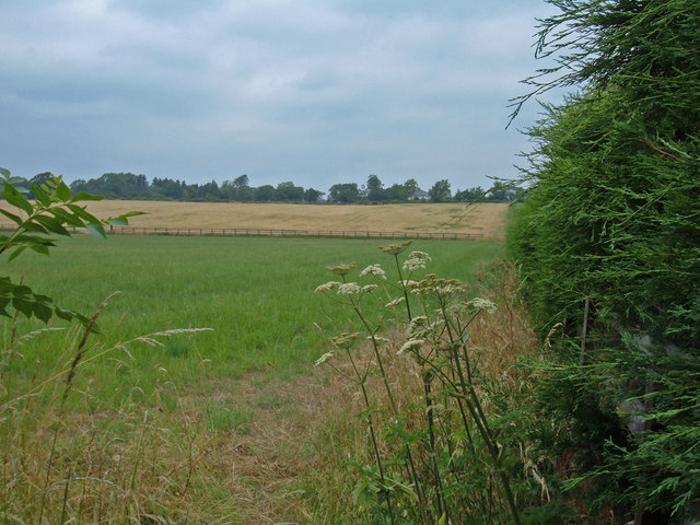
The downs of Cedars Field are characterized by gently rolling hills covered in lush green grass. These open spaces provide a stunning backdrop for picnics, walks, and recreational activities, allowing locals and tourists to enjoy the fresh air and breathtaking views of the surrounding countryside.
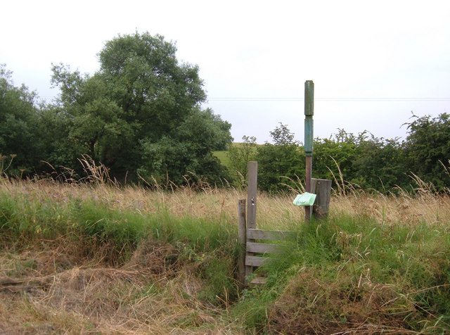
The moorland of Cedars Field is a wild and rugged terrain, featuring vast expanses of heather and bracken. The rich purple hues of the heather create a striking contrast against the deep green of the moors, making it a favorite spot for nature enthusiasts and photographers. The moorland is also home to a variety of wildlife, including birds of prey, grouse, and deer, offering visitors the opportunity to observe these creatures in their natural habitat.
Nestled amidst the downs and moorland are dense woodlands, comprising of ancient oak and beech trees. These woods provide a tranquil retreat, with dappled sunlight filtering through the canopy and a peaceful ambiance that invites exploration. The woodlands are teeming with wildlife, from squirrels and rabbits to a wide array of bird species.
Overall, Cedars Field in Yorkshire is a place of immense natural beauty and biodiversity. Its downs, moorland, and woodlands create a harmonious blend of landscapes, captivating visitors with their scenic vistas and abundant wildlife.
If you have any feedback on the listing, please let us know in the comments section below.
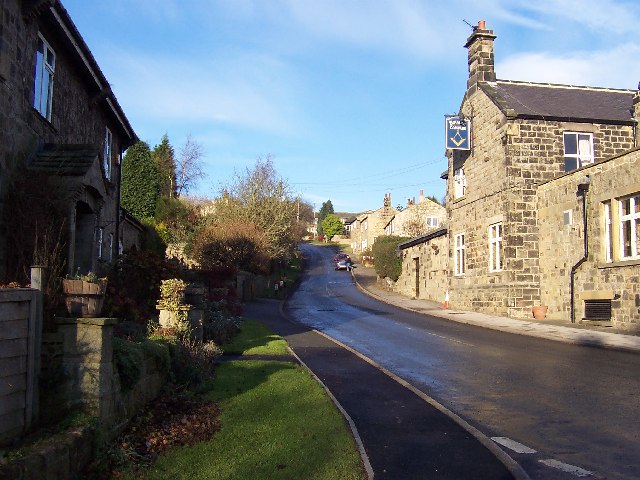
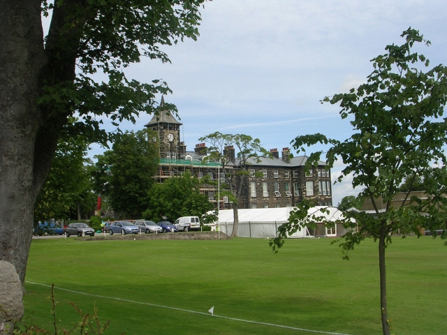
Cedars Field Images
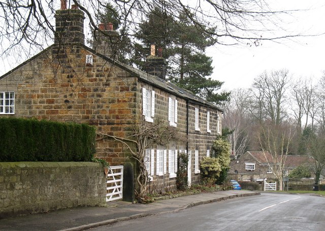
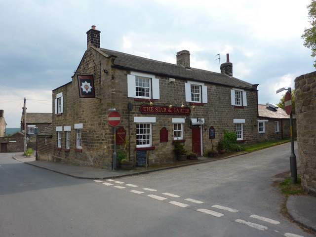
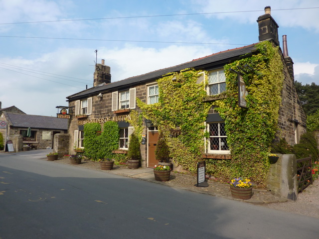
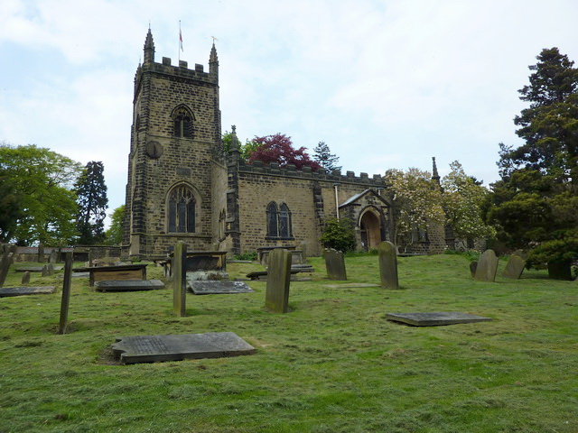
Images are sourced within 2km of 53.944814/-1.5334805 or Grid Reference SE3049. Thanks to Geograph Open Source API. All images are credited.


Cedars Field is located at Grid Ref: SE3049 (Lat: 53.944814, Lng: -1.5334805)
Division: West Riding
Administrative County: North Yorkshire
District: Harrogate
Police Authority: North Yorkshire
What 3 Words
///yummy.objective.beeline. Near Pannal, North Yorkshire
Nearby Locations
Related Wikis
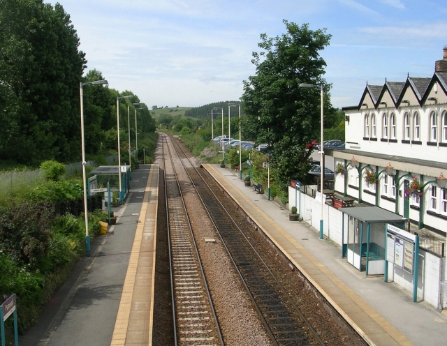
Pannal railway station
Pannal railway station serves the villages of Pannal and Spacey Houses in the southern suburbs of Harrogate, North Yorkshire, England, equidistant from...
Burn Bridge
Burn Bridge is a village in the borough of Harrogate in North Yorkshire, England. It is 2.5 miles (4.0 km) south of the town of Harrogate, and forms part...

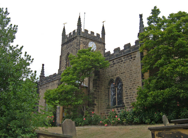
St Robert's Church, Pannal
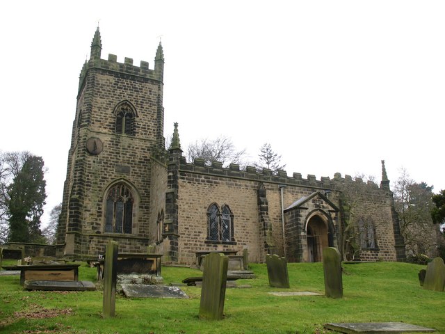
St Robert's Church, Pannal, North Yorkshire, England, also known as St Robert of Knaresborough Parish Church, is a Grade II* listed building. A 13th-century...
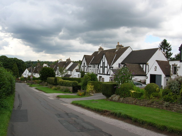
Pannal
Pannal is a village in the Harrogate district of North Yorkshire, England. Historically part of the West Riding of Yorkshire, it is situated to the immediate...

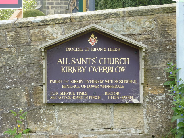
Kirkby Overblow
Kirkby Overblow is a village and civil parish in North Yorkshire, England. It is situated between Wetherby and Harrogate and lies to the west of Sicklinghall...
North Rigton
North Rigton is a village and civil parish in the Harrogate district of North Yorkshire, England. It is 2 miles (3 km) south of Harrogate. The population...

Dunkeswick
Dunkeswick is a hamlet in the civil parish of Kirkby Overblow, in North Yorkshire, England, just north of the River Wharfe, off the A61, around a kilometre...
New College, Harrogate
New College, Harrogate was an independent preparatory school in Harrogate, Yorkshire which amalgamated with Ashville College in 1930. New College was founded...
Nearby Amenities
Located within 500m of 53.944814,-1.5334805Have you been to Cedars Field?
Leave your review of Cedars Field below (or comments, questions and feedback).