Lamb Pasture

Downs, Moorland in Derbyshire Derbyshire Dales

England

Lamb Pasture

Former enclosure on Harewood Moor This is one of a series of square enclosures arranged in pairs across the moor.
Former enclosure on Harewood Moor Credit: Bill Boaden

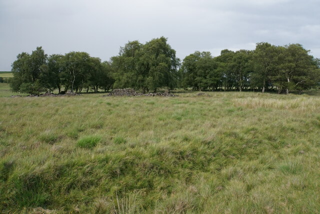
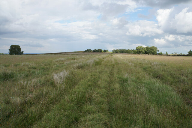
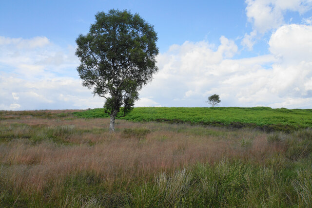
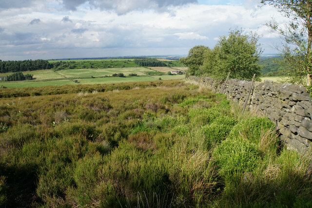
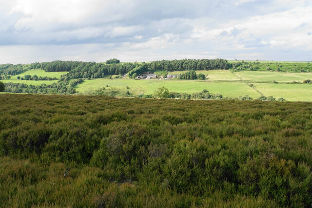
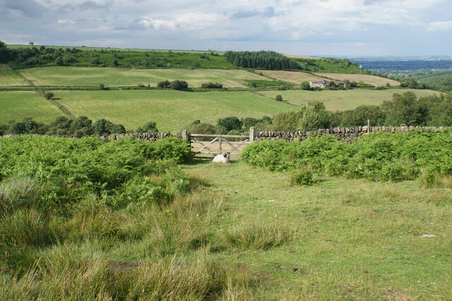
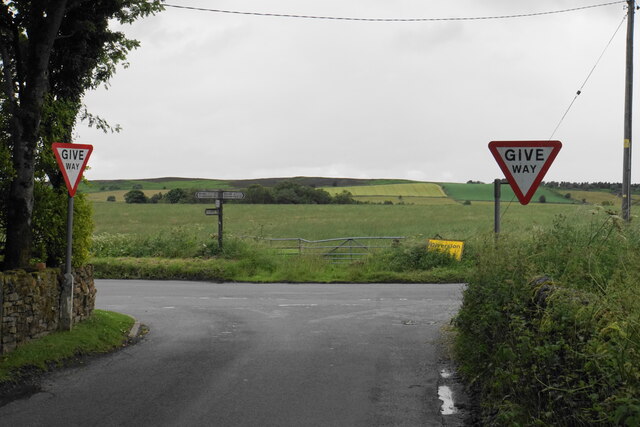
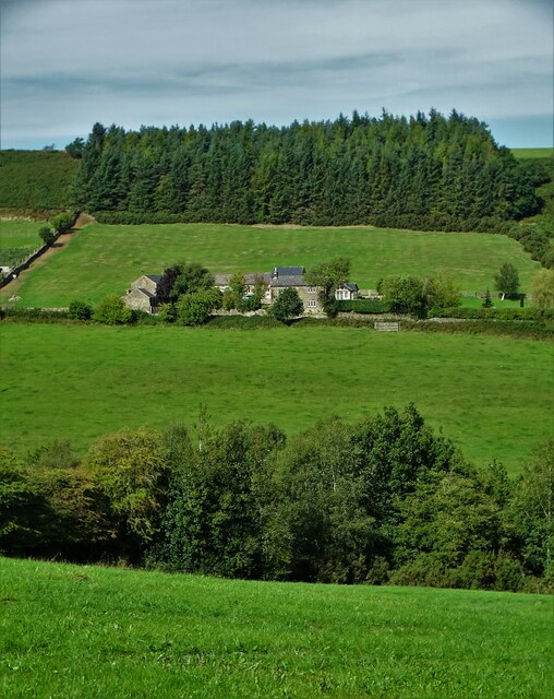
Lamb Pasture, located in Derbyshire, is a picturesque area known for its stunning downs and moorland landscapes. Situated amidst the scenic beauty of the Peak District National Park, Lamb Pasture attracts nature lovers, hikers, and photographers alike.

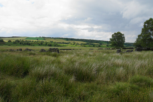
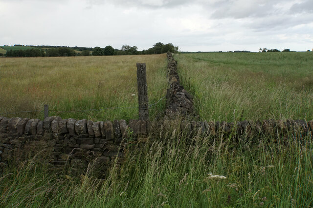
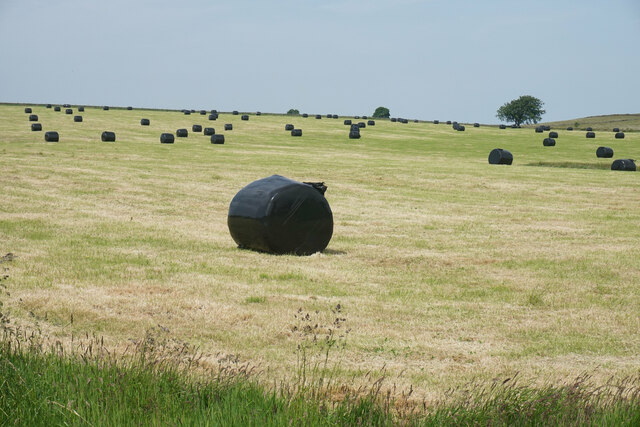
The downs in Lamb Pasture offer undulating hills covered in lush green grass, providing a perfect grazing ground for livestock, particularly sheep. The area derives its name from the presence of sheep, which can often be seen peacefully grazing in the pastures, adding to the charm of the surroundings.

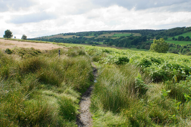
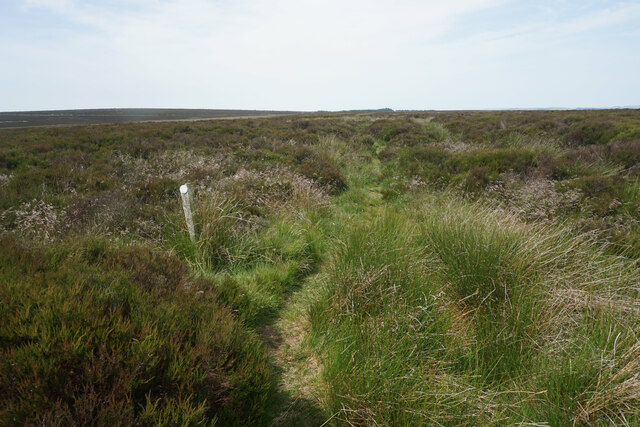
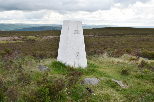
The moorland in Lamb Pasture is characterized by its wide expanses of open, rugged terrain, covered in heather, bracken, and wildflowers. The moorland provides a habitat for a range of wildlife, including birds such as grouse and curlew, as well as various species of insects and small mammals.

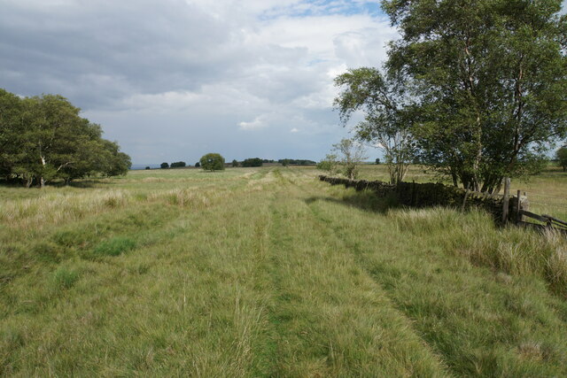
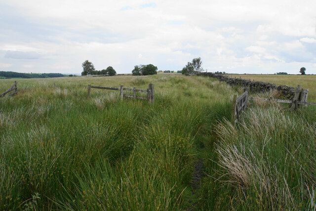
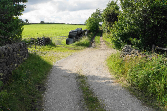
Visitors to Lamb Pasture can enjoy a variety of activities, including hiking along the numerous trails that crisscross the area. The landscape offers breathtaking panoramic views, with rolling hills and valleys stretching as far as the eye can see. Photographers are often drawn to Lamb Pasture due to its natural beauty and the ever-changing play of light and shadows across the landscape.

Lamb Pasture is a tranquil oasis away from the hustle and bustle of city life, offering visitors a chance to immerse themselves in the beauty of nature. Whether it is a leisurely stroll, a challenging hike, or simply a moment of solitude amidst the stunning scenery, Lamb Pasture provides a memorable experience for all who visit.

If you have any feedback on the listing, please let us know in the comments section below.

Lamb Pasture Images

Images are sourced within 2km of 53.209484/-1.5427593 or Grid Reference SK3068. Thanks to Geograph Open Source API. All images are credited.

Former enclosure on Harewood Moor This is one of a series of square enclosures arranged in pairs across the moor.
Former enclosure on Harewood Moor
This is one of a series of square enclosures arranged in pairs across the moor.
Track on Harewood Moor The track continues almost entirely straight for 2 km with not much variation in view.
Track on Harewood Moor
The track continues almost entirely straight for 2 km with not much variation in view.
Gateway on Harewood Moor A soggy area on the path. The fence appears intact though the open gateway undermines its effectiveness.
Gateway on Harewood Moor
A soggy area on the path. The fence appears intact though the open gateway undermines its effectiveness.
Former enclosure on Harewood Moor The land rises behind to Beeley Moor. The southern slope which can be seen is farmed, and the wild part is out of sight behind.
Former enclosure on Harewood Moor
The land rises behind to Beeley Moor. The southern slope which can be seen is farmed, and the wild part is out of sight behind.
Track on Harewood Moor A long straight track on a nearly flat moor, which gives a sense of space.
Track on Harewood Moor
A long straight track on a nearly flat moor, which gives a sense of space.
Natural boundary on Harewood Moor The grassland gives way to bracken. The bracken is on former quarry land. The change of vegetation also marks the end of access land.
Natural boundary on Harewood Moor
The grassland gives way to bracken. The bracken is on former quarry land. The change of vegetation also marks the end of access land.
The edge of Harewood Moor This is the edge of the access land, and a rudimentary footpath is developing alongside the wall
The edge of Harewood Moor
This is the edge of the access land, and a rudimentary footpath is developing alongside the wall
Harewood Moor Heather moorland sloping down to the valley of the River Hipper.
Harewood Moor
Heather moorland sloping down to the valley of the River Hipper.
Sheep on the edge of Harewood Moor The River Hipper runs in the valley behind, and you can also see the plain north of Chesterfield.
Sheep on the edge of Harewood Moor
The River Hipper runs in the valley behind, and you can also see the plain north of Chesterfield.
Footpath on Harewood Moor Heading to Harewood Grange in the upper Hipper valley.
Footpath on Harewood Moor
Heading to Harewood Grange in the upper Hipper valley.
Farm track on Hunger Hill A branch off Hungerhill Lane providing farm access.
Farm track on Hunger Hill
A branch off Hungerhill Lane providing farm access.
Field boundary by Beeley Lane The boundary between the fields is also the boundary of the Peak District National Park, with the land on the left being in the National Park.
Field boundary by Beeley Lane
The boundary between the fields is also the boundary of the Peak District National Park, with the land on the left being in the National Park.
The end of Screetham Lane It meets Beeley Lane. The higher part of Beeley Moor is on the skyline.
The end of Screetham Lane
It meets Beeley Lane. The higher part of Beeley Moor is on the skyline.
The silage harvest has started A field by Syda Lane with bales awaiting collection.
The silage harvest has started
A field by Syda Lane with bales awaiting collection.
Path to Hob Hurst's House The footpath is not definitive but is established and waymarked. It is crossing the access land of East Moor. The line of Harland Edge is far left.
Path to Hob Hurst's House
The footpath is not definitive but is established and waymarked. It is crossing the access land of East Moor. The line of Harland Edge is far left.
Harland South trig point It is a bit of a scramble through bracken and heather to get here on Harland Edge, but it is worth it.
Harland South trig point
It is a bit of a scramble through bracken and heather to get here on Harland Edge, but it is worth it.
Cathole Farm seen from across the valley
Gateway to  Glendale Farm
Gateway to Glendale Farm
Show me another place!

Lamb Pasture is located at Grid Ref: SK3068 (Lat: 53.209484, Lng: -1.5427593)

Administrative County: Derbyshire

District: Derbyshire Dales

Police Authority: Derbyshire

What 3 Words

///vowed.changed.restless. Near Walton, Derbyshire

Related Wikis

Beeley Moor

Beeley Moor is a small gritstone upland area in the Derbyshire Peak District of central and northern England, near the villages of Beeley and Baslow. Its...

Hob Hurst's House

Hob Hurst's House is a Bronze Age barrow on Beeley Moor near Bakewell in Derbyshire. It is unique in that instead of the normal round shape, Hob Hurst...

Wadshelf

Wadshelf is a small village in Derbyshire, England. It is located between Chesterfield and Baslow, just inside the Peak District national park. It is near...

North East Derbyshire

North East Derbyshire is a local government district in Derbyshire, England. The council is based in the large village of Wingerworth. The district also...

Holymoorside and Walton

Holymoorside and Walton is a civil parish within the North East Derbyshire district, which is in the county of Derbyshire, England. Named for its main...

Gibbet Moor

Gibbet Moor is a small gritstone upland area in the Derbyshire Peak District of central and northern England, near the village of Baslow. Its highest point...

North East Derbyshire (UK Parliament constituency)

North East Derbyshire is a constituency created in 1885 represented in the House of Commons of the UK Parliament since 2017 by Lee Rowley of the Conservative...

Holymoorside

Holymoorside is a village in the civil parish of Holymoorside and Walton, in the North East Derbyshire district, in the county of Derbyshire, England,...

Nearby Amenities

Located within 500m of 53.209484,-1.5427593
The data included in this document is from www.openstreetmap.org. The data is made available under ODbL.

Have you been to Lamb Pasture?

Leave your review of Lamb Pasture below (or comments, questions and feedback).