Chipping Norton Common
Downs, Moorland in Oxfordshire West Oxfordshire
England
Chipping Norton Common

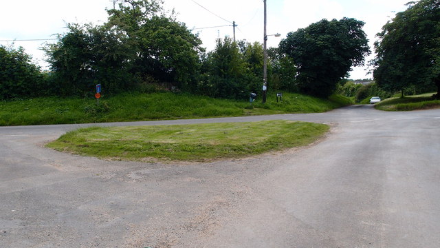
Chipping Norton Common is a picturesque area located in Oxfordshire, England. Covering an expansive area of downs and moorland, it offers a stunning landscape that attracts locals and visitors alike. The common is situated just outside the charming market town of Chipping Norton, providing a convenient escape into nature.
The common is characterized by its rolling hills, open grasslands, and patches of heather. This diverse terrain supports a rich variety of flora and fauna, making it an important ecological site. Visitors can expect to encounter a range of plant species, including wildflowers, grasses, and shrubs, which contribute to the area's natural beauty.
Wildlife enthusiasts will appreciate the common's biodiversity, as it is home to numerous species. Birdwatchers can spot a wide array of avian inhabitants, such as skylarks, meadow pipits, and kestrels, soaring above the open fields. Additionally, the common provides a habitat for small mammals like rabbits and voles, as well as reptiles such as adders and lizards.
Chipping Norton Common offers a tranquil setting for leisurely walks and outdoor activities. Visitors can explore the well-marked footpaths that crisscross the area, providing opportunities for hiking, jogging, and horseback riding. The open spaces are also ideal for picnics and family outings, allowing visitors to immerse themselves in the peaceful surroundings.
Overall, Chipping Norton Common is a stunning natural landscape that showcases the beauty of Oxfordshire's countryside. With its diverse flora and fauna, it provides a haven for nature lovers and outdoor enthusiasts seeking a serene retreat from urban life.
If you have any feedback on the listing, please let us know in the comments section below.
Chipping Norton Common Images
Images are sourced within 2km of 51.93898/-1.5595188 or Grid Reference SP3026. Thanks to Geograph Open Source API. All images are credited.


Chipping Norton Common is located at Grid Ref: SP3026 (Lat: 51.93898, Lng: -1.5595188)
Administrative County: Oxfordshire
District: West Oxfordshire
Police Authority: Thames Valley
What 3 Words
///vampire.camera.butlers. Near Chipping Norton, Oxfordshire
Nearby Locations
Related Wikis

Bliss Tweed Mill
Bliss Tweed Mill is a former mill for the manufacture of tweed. It is located on the edge of Chipping Norton, Oxfordshire, United Kingdom. It became a...
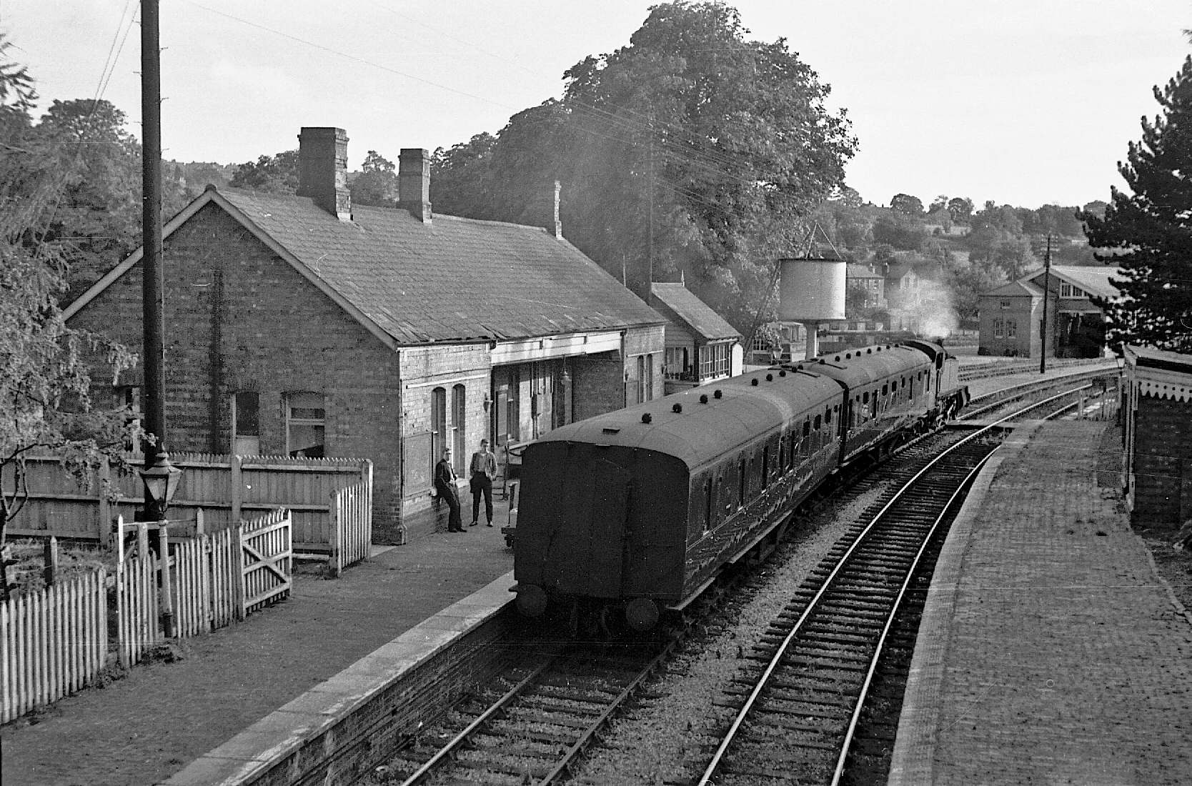
Chipping Norton railway station
Chipping Norton railway station served the town of Chipping Norton, Oxfordshire, England. The station had two platforms and a signal box. == History... ==

Chipping Norton
Chipping Norton is a market town and civil parish in the Cotswold Hills in the West Oxfordshire district of Oxfordshire, England, about 12 miles (19 km...
Chipping Norton Recording Studios
Chipping Norton Recording Studios was a residential recording studio in Chipping Norton, Oxfordshire, England, which operated from 1971 until October...

Chipping Norton Town Hall
Chipping Norton Town Hall is a municipal building in the Market Place, Chipping Norton, Oxfordshire, England. The building, which is used as an events...

Chipping Norton Town Swifts F.C.
Chipping Norton Town Football Club is a football club based in Chipping Norton, Oxfordshire. They play at Walterbush Road. == History == The club was...
Chipping Norton Museum
Chipping Norton Museum (aka Chipping Norton Museum of Local History) is an independent local museum located on the High Street in the town of Chipping...
The Theatre Chipping Norton
The Theatre Chipping Norton, sometimes The Theatre, Chipping Norton, is a multi-arts theatre, cinema, gallery and music venue in Chipping Norton, Oxfordshire...
Related Videos
![Chipping Norton, Cotswolds Walking Tour || The Highest Town In Oxfordshire [4K]](https://i.ytimg.com/vi/yri8xKvztBM/hqdefault.jpg)
Chipping Norton, Cotswolds Walking Tour || The Highest Town In Oxfordshire [4K]
Welcome to this virtual walking tour in 4K. Today I'm taking you on a virtual tour of Chipping Campden in the Oxfordshire part of ...


Deep into Cottage Life. 🤎🌸Full video about this fairytale place on @stephanytsb #cotswolds
Nestled in the heart of serenity, we discovered our perfect haven. Days filled with warmth, homemade meals, the aroma of great ...
Nearby Amenities
Located within 500m of 51.93898,-1.5595188Have you been to Chipping Norton Common?
Leave your review of Chipping Norton Common below (or comments, questions and feedback).