Beeley Moor

Downs, Moorland in Derbyshire Derbyshire Dales

England

Beeley Moor

Former enclosure on Harewood Moor This is one of a series of square enclosures arranged in pairs across the moor.
Former enclosure on Harewood Moor Credit: Bill Boaden

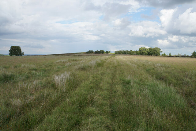
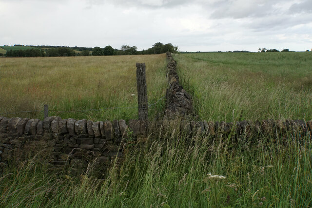
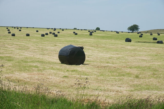
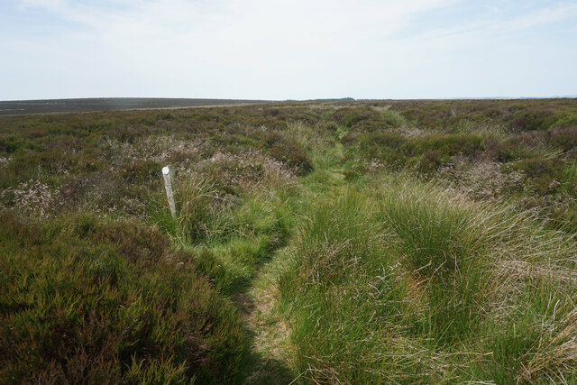
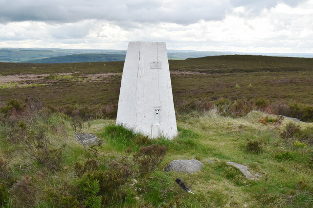
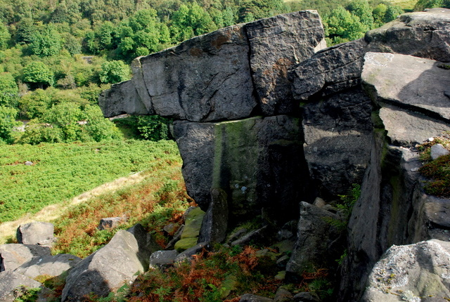
Beeley Moor is a vast expanse of moorland located in Derbyshire, England. Situated within the Peak District National Park, it covers an area of approximately 1,000 acres and reaches an elevation of around 400 meters above sea level. The moor is characterized by its rolling hills, heather-clad slopes, and scattered woodlands, making it an idyllic landscape for nature enthusiasts and hikers.

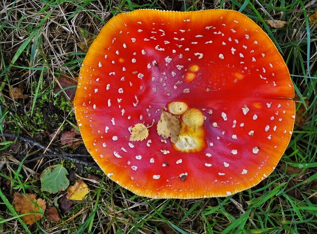
The moorland is home to a rich variety of flora and fauna, with heather dominating the landscape during summer, painting the hills in vibrant shades of purple. Other plant species that can be found include bilberry, cotton grass, and bracken. These provide a habitat for a diverse range of wildlife, including birds such as curlews, lapwings, and short-eared owls.

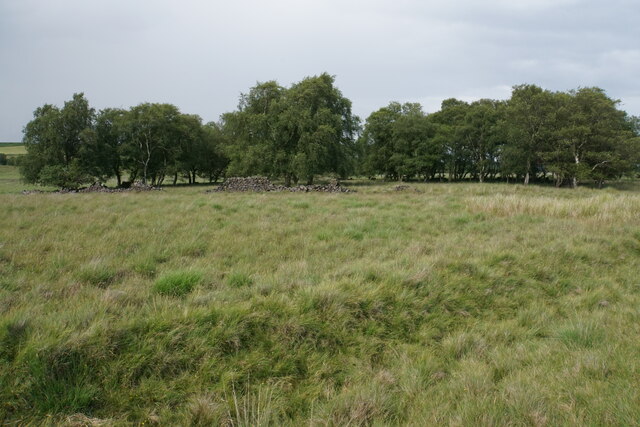
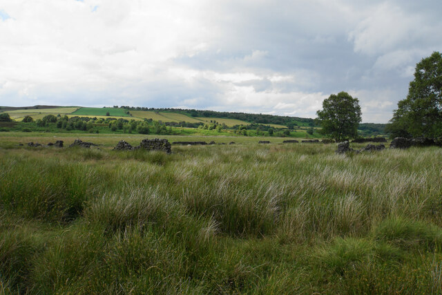
In addition to its natural beauty, Beeley Moor also holds historical significance. Traces of prehistoric settlements, including burial mounds and stone circles, can be found scattered across the moor, offering insight into the area's ancient past. Furthermore, remnants of lead mining activities from the 18th and 19th centuries can still be seen, with old mine shafts and spoil heaps dotting the landscape.

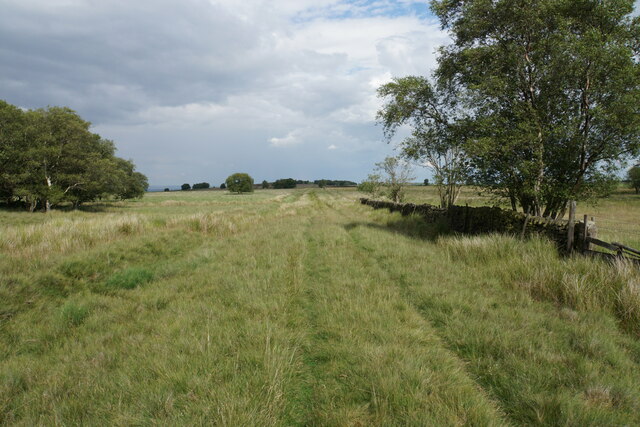
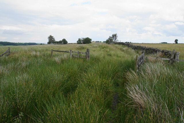
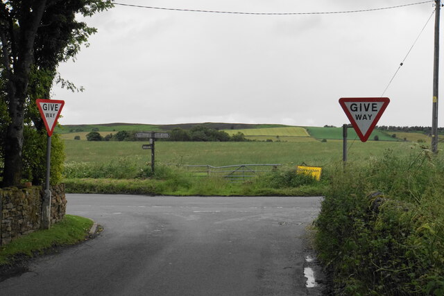
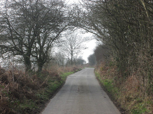
For outdoor enthusiasts, Beeley Moor offers several walking trails that allow visitors to explore its stunning scenery. These paths offer breathtaking views of the surrounding countryside, including the nearby Chatsworth House and the Derwent Valley. The moor is easily accessible, with various car parks and footpaths available for visitors to enjoy this beautiful natural haven.

If you have any feedback on the listing, please let us know in the comments section below.

Beeley Moor Images

Images are sourced within 2km of 53.211606/-1.559747 or Grid Reference SK2968. Thanks to Geograph Open Source API. All images are credited.

Former enclosure on Harewood Moor This is one of a series of square enclosures arranged in pairs across the moor.
Former enclosure on Harewood Moor
This is one of a series of square enclosures arranged in pairs across the moor.
Track on Harewood Moor The track continues almost entirely straight for 2 km with not much variation in view.
Track on Harewood Moor
The track continues almost entirely straight for 2 km with not much variation in view.
Gateway on Harewood Moor A soggy area on the path. The fence appears intact though the open gateway undermines its effectiveness.
Gateway on Harewood Moor
A soggy area on the path. The fence appears intact though the open gateway undermines its effectiveness.
Former enclosure on Harewood Moor The land rises behind to Beeley Moor. The southern slope which can be seen is farmed, and the wild part is out of sight behind.
Former enclosure on Harewood Moor
The land rises behind to Beeley Moor. The southern slope which can be seen is farmed, and the wild part is out of sight behind.
Track on Harewood Moor A long straight track on a nearly flat moor, which gives a sense of space.
Track on Harewood Moor
A long straight track on a nearly flat moor, which gives a sense of space.
Field boundary by Beeley Lane The boundary between the fields is also the boundary of the Peak District National Park, with the land on the left being in the National Park.
Field boundary by Beeley Lane
The boundary between the fields is also the boundary of the Peak District National Park, with the land on the left being in the National Park.
The end of Screetham Lane It meets Beeley Lane. The higher part of Beeley Moor is on the skyline.
The end of Screetham Lane
It meets Beeley Lane. The higher part of Beeley Moor is on the skyline.
The silage harvest has started A field by Syda Lane with bales awaiting collection.
The silage harvest has started
A field by Syda Lane with bales awaiting collection.
Path to Hob Hurst's House The footpath is not definitive but is established and waymarked. It is crossing the access land of East Moor. The line of Harland Edge is far left.
Path to Hob Hurst's House
The footpath is not definitive but is established and waymarked. It is crossing the access land of East Moor. The line of Harland Edge is far left.
Harland South trig point It is a bit of a scramble through bracken and heather to get here on Harland Edge, but it is worth it.
Harland South trig point
It is a bit of a scramble through bracken and heather to get here on Harland Edge, but it is worth it.
Fly agaric mushroom seen from above On Longside Moor
Fly agaric mushroom seen from above
On Longside Moor
Old railway box car near Harewood Grange Farm (I) Probably once used as stabling.
Old railway box car near Harewood Grange Farm (I)
Probably once used as stabling.
Old railway box car near Harewood Grange Farm (II) Probably once used as stabling.
Old railway box car near Harewood Grange Farm (II)
Probably once used as stabling.
Twin trees on Longside Moor With Chesterfield in the valley beyond
Twin trees on Longside Moor
With Chesterfield in the valley beyond
Syda Lane and the edge of Beeley Moor
Harewood Grange
Harewood Grange
Syda Lane corner and the view to Red Knoll You can see the telecommunications mast on the horizon
Syda Lane corner and the view to Red Knoll
You can see the telecommunications mast on the horizon
Harewood Road west of Harewood Grange Farm
Show me another place!

Beeley Moor is located at Grid Ref: SK2968 (Lat: 53.211606, Lng: -1.559747)

Administrative County: Derbyshire

District: Derbyshire Dales

Police Authority: Derbyshire

What 3 Words

///breached.organs.worksheet. Near Baslow, Derbyshire

Nearby Locations

Beeley Moor

Related Wikis

Beeley Moor

Beeley Moor is a small gritstone upland area in the Derbyshire Peak District of central and northern England, near the villages of Beeley and Baslow. Its...

Hob Hurst's House

Hob Hurst's House is a Bronze Age barrow on Beeley Moor near Bakewell in Derbyshire. It is unique in that instead of the normal round shape, Hob Hurst...

Gibbet Moor

Gibbet Moor is a small gritstone upland area in the Derbyshire Peak District of central and northern England, near the village of Baslow. Its highest point...

Beeley

Beeley is a village and civil parish in northern Derbyshire, England. Located near Bakewell in the Derbyshire Dales, it is situated on the B6012 road,...

Nearby Amenities

Located within 500m of 53.211606,-1.559747
Harland Edge
Ele: 371
Natural: peak
Lat/Long: 53.2142666/-1.5621622
The data included in this document is from www.openstreetmap.org. The data is made available under ODbL.

Have you been to Beeley Moor?

Leave your review of Beeley Moor below (or comments, questions and feedback).