Fognam Down

Downs, Moorland in Berkshire

England

Fognam Down

Ashdown House
Ashdown House Credit: Matthew Chadwick

The requested URL returned error: 429 Too Many Requests

If you have any feedback on the listing, please let us know in the comments section below.
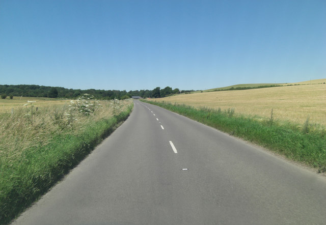
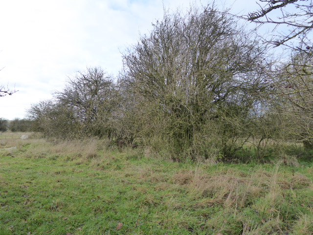
Fognam Down Images

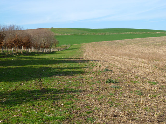
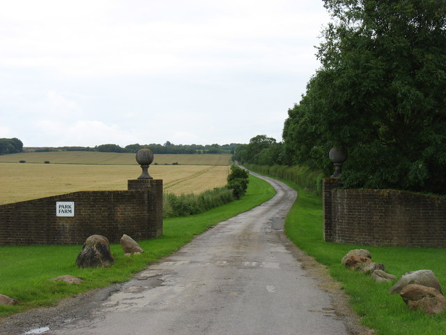
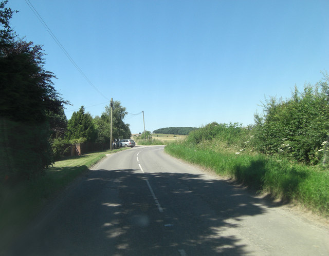
Images are sourced within 2km of 51.522904/-1.5791088 or Grid Reference SU2980. Thanks to Geograph Open Source API. All images are credited.

Ashdown House
Ashdown House
Ashdown House A view of the north face of Ashdown House.
Ashdown House
A view of the north face of Ashdown House.
Ashdown House, Lambourn Ashdown House is a 17th century hunting lodge now owned by the National Trust. It is set in beautiful parkland and is well worth a visit. For a closer view see <a title="https://www.geograph.org.uk/photo/1875004" href="https://www.geograph.org.uk/photo/1875004">Link</a>
Ashdown House, Lambourn
Ashdown House is a 17th century hunting lodge now owned by the National Trust. It is set in beautiful parkland and is well worth a visit. For a closer view see Link
Sarsen Stones in the Afternoon A late light shot of some of the Sarsen stones, or Grey Wethers as they're sometimes called, near Ashdown House on the Berkshire Downs.
Sarsens are the broken up remnants of a post glacial era silica sandstone layer which formed above the chalk. More info on Sarsen on <span class="nowrap"><a title="http://en.wikipedia.org/wiki/Sarsen" rel="nofollow ugc noopener" href="http://en.wikipedia.org/wiki/Sarsen">Link</a><img style="margin-left:2px;" alt="External link" title="External link - shift click to open in new window" src="https://s1.geograph.org.uk/img/external.png" width="10" height="10"/></span>
The undulation in the field surface is marked on the map as Park Pale in antique script, so is presumably of ancient origin. It looks to be part of a roughly square enclosure around what is now Upper Wood.
Scanned from a print.
Sarsen Stones in the Afternoon
A late light shot of some of the Sarsen stones, or Grey Wethers as they're sometimes called, near Ashdown House on the Berkshire Downs. Sarsens are the broken up remnants of a post glacial era silica sandstone layer which formed above the chalk. More info on Sarsen on LinkExternal link The undulation in the field surface is marked on the map as Park Pale in antique script, so is presumably of ancient origin. It looks to be part of a roughly square enclosure around what is now Upper Wood. Scanned from a print.
Farmland, Ashbury A field of stubble rising to Idstone Down. This is just inside the former county of Berkshire, now part of Oxfordshire. The boundary with Wiltshire is to the left of picture.
Farmland, Ashbury
A field of stubble rising to Idstone Down. This is just inside the former county of Berkshire, now part of Oxfordshire. The boundary with Wiltshire is to the left of picture.
The driveway to Park Farm, Upper Lambourn A more imposing entrance and drive than that for your average farm!
The driveway to Park Farm, Upper Lambourn
A more imposing entrance and drive than that for your average farm!
Paddocks at Ashdown Farm About 400 metres south of Ashdown House which, at the time of my visit to the area, was undergoing major roof repairs and was swathed in plastic sheeting.
Paddocks at Ashdown Farm
About 400 metres south of Ashdown House which, at the time of my visit to the area, was undergoing major roof repairs and was swathed in plastic sheeting.
B4000 north of Fognam Farm Ahead is a crossroads but it doesn't appear so to the motorist on the 'B' road. Straight on is a byway open to all traffic and perpendicularly a private road to Park Farm.
B4000 north of Fognam Farm
Ahead is a crossroads but it doesn't appear so to the motorist on the 'B' road. Straight on is a byway open to all traffic and perpendicularly a private road to Park Farm.
B4000 climbs Fognam Down
B4000 crosses the border The border between Berkshire (behind) and Oxfordshire is delineated by a bridleway which can be seen to the right of shot. This part of the downs is called Lambourn Corner and sees the conjunction of road, bridleway and by-way.
B4000 crosses the border
The border between Berkshire (behind) and Oxfordshire is delineated by a bridleway which can be seen to the right of shot. This part of the downs is called Lambourn Corner and sees the conjunction of road, bridleway and by-way.
B4000 passes pumping station What type of pumping station LPG, sewage? BP McKeefry has a fleet of 200 lorries transporting bulk and the one in the picture looks like a liquid waste carrier. So slurry might be the load??
B4000 passes pumping station
What type of pumping station LPG, sewage? BP McKeefry has a fleet of 200 lorries transporting bulk and the one in the picture looks like a liquid waste carrier. So slurry might be the load??
B4000 skirts Weathercock Hill The road is some 50 metres below the 219 m. summit of the hill, which is on the right, and this bend loops around its shoulder.
B4000 skirts Weathercock Hill
The road is some 50 metres below the 219 m. summit of the hill, which is on the right, and this bend loops around its shoulder.
B4000 passes entrance to Ashdown House
Sarsens Beside The Road A field full of Sarsen stones, or Grey Wethers as they're sometimes called, near Ashdown House on the Berkshire Downs.
Sarsens are the broken up remnants of a post glacial era silica sandstone layer which formed above the chalk. <span class="nowrap"><a title="http://en.wikipedia.org/wiki/Sarsen" rel="nofollow ugc noopener" href="http://en.wikipedia.org/wiki/Sarsen">Link</a><img style="margin-left:2px;" alt="External link" title="External link - shift click to open in new window" src="https://s1.geograph.org.uk/img/external.png" width="10" height="10"/></span>
Sarsens Beside The Road
A field full of Sarsen stones, or Grey Wethers as they're sometimes called, near Ashdown House on the Berkshire Downs. Sarsens are the broken up remnants of a post glacial era silica sandstone layer which formed above the chalk. LinkExternal link
Parterre garden, Ashdown House, Lambourn The parterre garden is overlooked by the west elevation of the 17th century hunting lodge now owned by the National Trust and open on Wednesday and Saturday afternoons. Since I was here three years ago <a title="https://www.geograph.org.uk/photo/1874231" href="https://www.geograph.org.uk/photo/1874231">Link</a> the property has had some restoration work carried out including re-roofing the dome in lead and restoring the golden globe on top of it. A new lightning conductor has also been fitted.
Parterre garden, Ashdown House, Lambourn
The parterre garden is overlooked by the west elevation of the 17th century hunting lodge now owned by the National Trust and open on Wednesday and Saturday afternoons. Since I was here three years ago Link the property has had some restoration work carried out including re-roofing the dome in lead and restoring the golden globe on top of it. A new lightning conductor has also been fitted.
East elevation, Ashdown House, Lambourn The hunting lodge was built in the 1660s and enjoyed a generally peaceful life in the ownership of a once-wealthy family whose fortunes declined and whose treatment at the hands of the taxman meant its ownership had to be relinquished. The National Trust took possession of Ashdown House in the 1950s and restored it from the somewhat dilapidated condition it was in at that time. This is one of the less well-known of the NT holdings and one of the best.
East elevation, Ashdown House, Lambourn
The hunting lodge was built in the 1660s and enjoyed a generally peaceful life in the ownership of a once-wealthy family whose fortunes declined and whose treatment at the hands of the taxman meant its ownership had to be relinquished. The National Trust took possession of Ashdown House in the 1950s and restored it from the somewhat dilapidated condition it was in at that time. This is one of the less well-known of the NT holdings and one of the best.
Top of the staircase, Ashdown House, Lambourn Ashdown House is a 17th century hunting lodge now in the care of the National Trust. The main interior feature is the original staircase built largely of elm by a shipwright. This is a view looking down from the second floor.
Top of the staircase, Ashdown House, Lambourn
Ashdown House is a 17th century hunting lodge now in the care of the National Trust. The main interior feature is the original staircase built largely of elm by a shipwright. This is a view looking down from the second floor.
Bottom of the staircase, Ashdown House, Lambourn Ashdown House is a 17th century hunting lodge now in the care of the National Trust. The main interior feature is the original staircase built largely of elm by a shipwright. This is a view looking up from the ground floor.
Bottom of the staircase, Ashdown House, Lambourn
Ashdown House is a 17th century hunting lodge now in the care of the National Trust. The main interior feature is the original staircase built largely of elm by a shipwright. This is a view looking up from the ground floor.
Show me another place!

Fognam Down is located at Grid Ref: SU2980 (Lat: 51.522904, Lng: -1.5791088)

Unitary Authority: West Berkshire

Police Authority: Thames Valley

What 3 Words

///sparrows.defeat.bless. Near Lambourn, Berkshire

Nearby Locations

Fognam Down Park Vale

Related Wikis

Fognam Chalk Quarry

Fognam Chalk Quarry is a 3-hectare (7.4-acre) geological Site of Special Scientific Interest west of Upper Lambourn in Berkshire. It is a Geological Conservation...

Ashdown Park

Ashdown Park is a 9.3-hectare (23-acre) biological Site of Special Scientific Interest (SSSI) south of Ashbury in Oxfordshire. The SSSI is part of the...

Ashdown House, Oxfordshire

Ashdown House (also known as Ashdown Park) is a 17th-century country house in the civil parish of Ashbury in the English county of Oxfordshire. Until 1974...

Park Farm Down

Park Farm Down or Parkfarm Down is a 3.3-hectare (8.2-acre) biological Site of Special Scientific Interest north-west of Lambourn in Berkshire. It is in...

Nearby Amenities

Located within 500m of 51.522904,-1.5791088
The data included in this document is from www.openstreetmap.org. The data is made available under ODbL.

Have you been to Fognam Down?

Leave your review of Fognam Down below (or comments, questions and feedback).