Wilton Down
Downs, Moorland in Wiltshire
England
Wilton Down

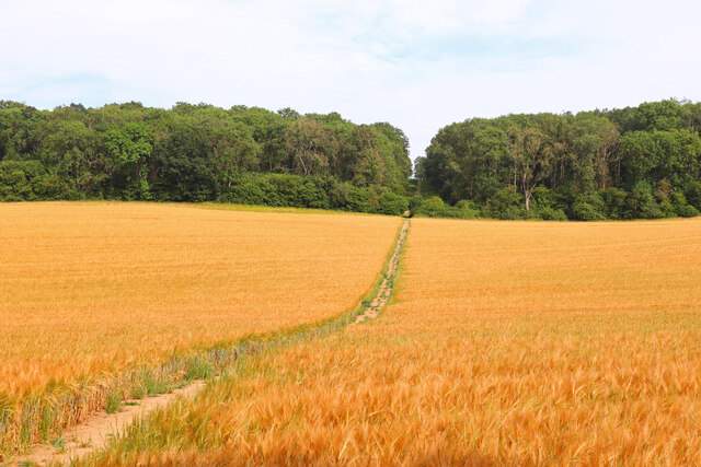
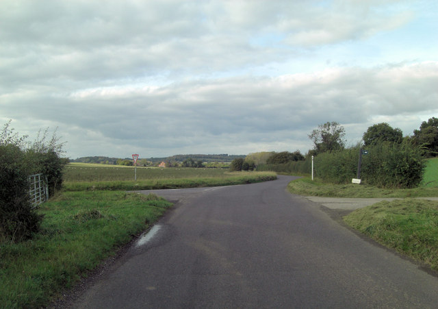
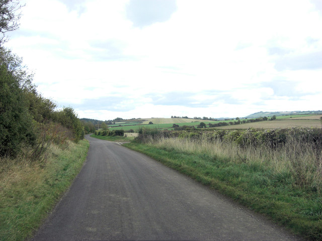
Wilton Down is a prominent area of open, rolling countryside located in Wiltshire, England. It is part of the larger expanse known as the Salisbury Plain, which is renowned for its natural beauty and diverse wildlife. The landscape of Wilton Down is characterized by its sweeping hills, deep valleys, and expansive moorland, making it a popular destination for outdoor enthusiasts and nature lovers.
The down is home to a variety of flora and fauna, including rare plant species and a wide array of birdlife. Visitors to Wilton Down may also catch a glimpse of roaming deer, rabbits, and other wildlife that call the area home.
Wilton Down offers numerous opportunities for outdoor activities, such as hiking, birdwatching, and picnicking. The area is also steeped in history, with ancient burial mounds and archaeological sites scattered throughout the landscape. Visitors can explore these historic landmarks while taking in the breathtaking views of the surrounding countryside.
Overall, Wilton Down is a picturesque and tranquil destination that offers a glimpse into the natural beauty and rich history of Wiltshire's countryside.
If you have any feedback on the listing, please let us know in the comments section below.
Wilton Down Images
Images are sourced within 2km of 51.355575/-1.5855113 or Grid Reference SU2861. Thanks to Geograph Open Source API. All images are credited.


Wilton Down is located at Grid Ref: SU2861 (Lat: 51.355575, Lng: -1.5855113)
Unitary Authority: Wiltshire
Police Authority: Wiltshire
What 3 Words
///rots.piles.digesting. Near Shalbourne, Wiltshire
Nearby Locations
Related Wikis
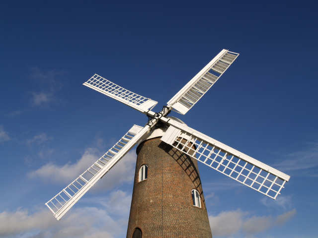
Wilton Windmill
The Wilton Windmill is a five-floor brick tower mill, standing on a chalk ridge between the villages of Wilton and Great Bedwyn in the southern English...

Botley Down
Botley Down (grid reference SU292598) is a biological Site of Special Scientific Interest in Wiltshire, notified in 1989. == Sources == Natural England...

Bedwyn Church Lock
Bedwyn Church Lock is on the Kennet and Avon Canal at Great Bedwyn, Wiltshire, England. The lock has a rise/fall of 7 ft 11 in (2.41 m). It is a Grade...
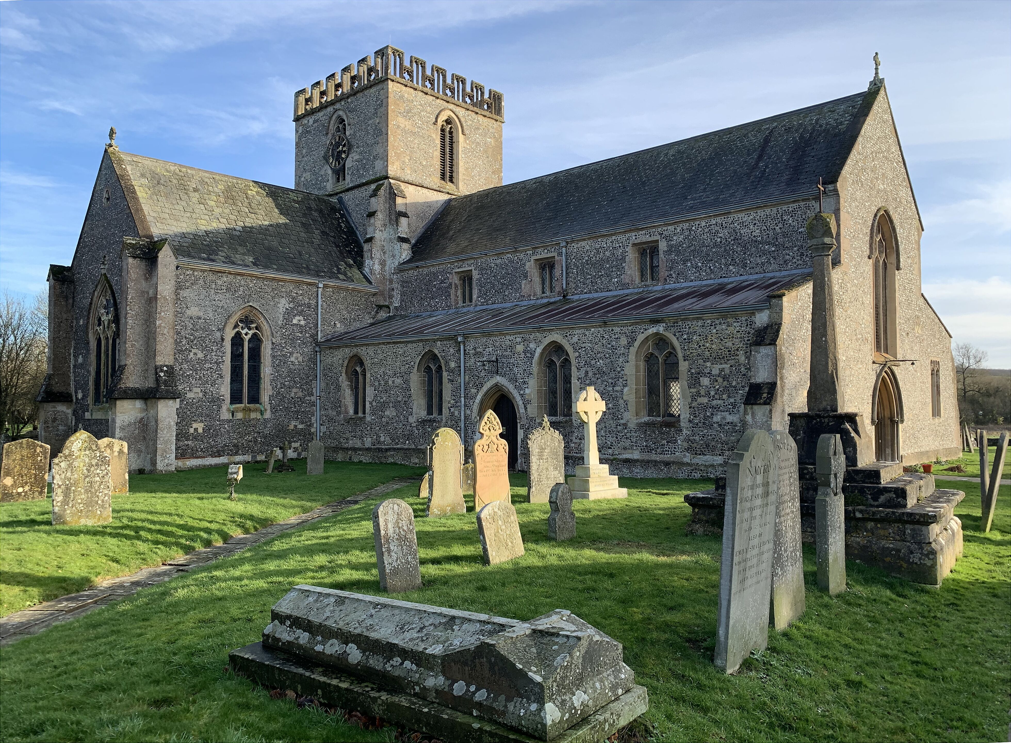
St Mary's Church, Great Bedwyn
The Church of Saint Mary the Virgin is the parish church of Great Bedwyn, Wiltshire, England, and a Grade I listed building. The church was built in the...
Have you been to Wilton Down?
Leave your review of Wilton Down below (or comments, questions and feedback).