Aiskew Moor

Downs, Moorland in Yorkshire Hambleton

England

Aiskew Moor

Scuton, Bus Stop on Fleetham Lane
Scuton, Bus Stop on Fleetham Lane Credit: David Dixon

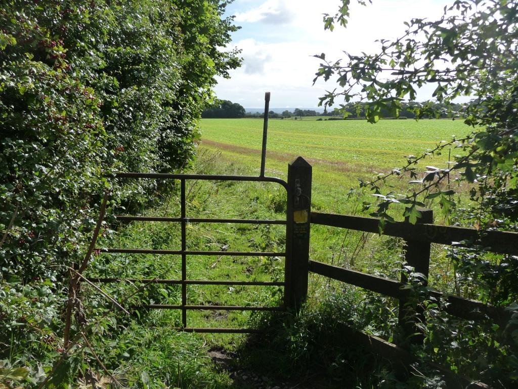
Aiskew Moor is a picturesque region located in the county of Yorkshire, England. Situated on the outskirts of the town of Bedale, it encompasses a vast expanse of downs and moorland. The area is renowned for its stunning natural beauty, offering visitors a unique blend of rolling hills, heather-covered moors, and panoramic views of the surrounding countryside.

Covering an area of approximately 10 square kilometers, Aiskew Moor is predominantly characterized by its undulating landscape and open grasslands. The moorland is adorned with vibrant purple heather during the summer months, creating a stunning contrast against the greenery. The downs, on the other hand, feature gentle slopes that provide ideal conditions for grazing livestock.

This region is not only a haven for nature enthusiasts but also offers recreational activities for visitors. The extensive network of footpaths and trails allows for pleasant walks and hikes, providing an opportunity to explore the area's natural wonders up close. Birdwatchers are particularly drawn to Aiskew Moor, as it serves as a habitat for various species including curlews, lapwings, and skylarks.

Aiskew Moor also holds historical significance, with ancient burial mounds and standing stones scattered throughout the landscape. These remnants of the past offer a glimpse into the area's rich heritage and provide a sense of intrigue for history enthusiasts.

Overall, Aiskew Moor is a captivating destination that showcases the beauty of Yorkshire's downs and moorland. Whether it's the breathtaking views, the diverse wildlife, or the historical remnants, this region offers a truly immersive experience for all who visit.

If you have any feedback on the listing, please let us know in the comments section below.
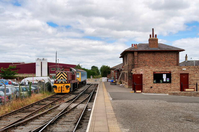
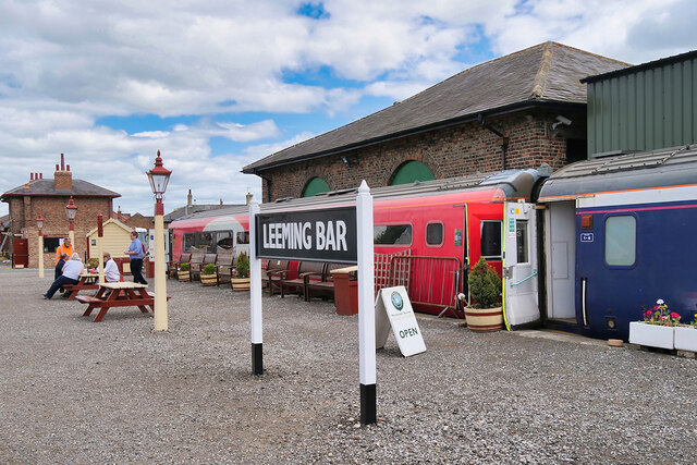
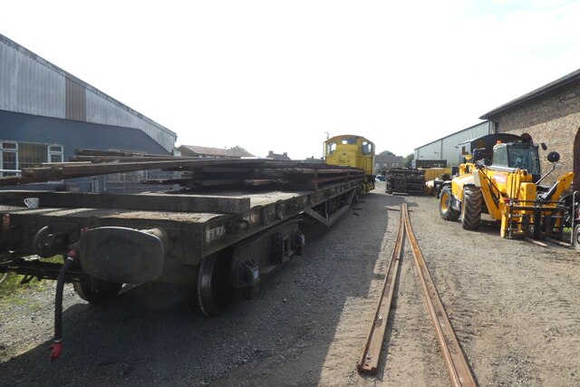
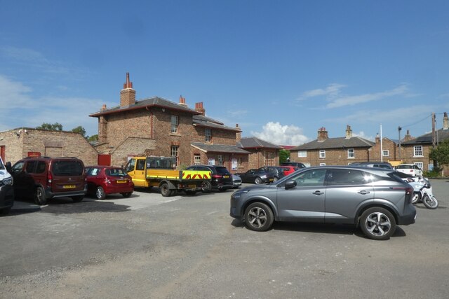
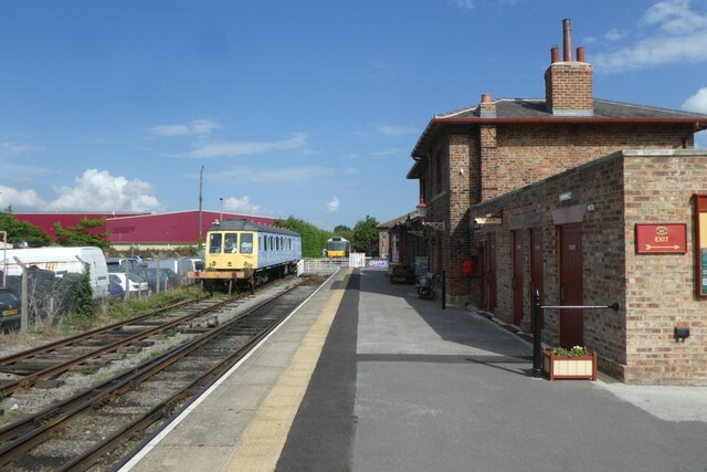
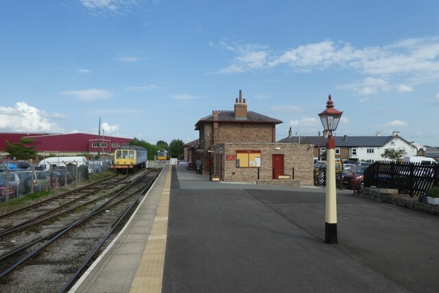
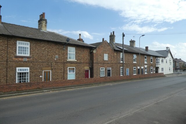
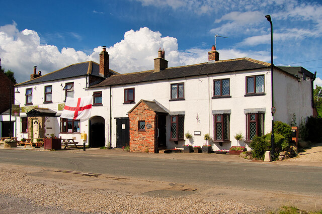
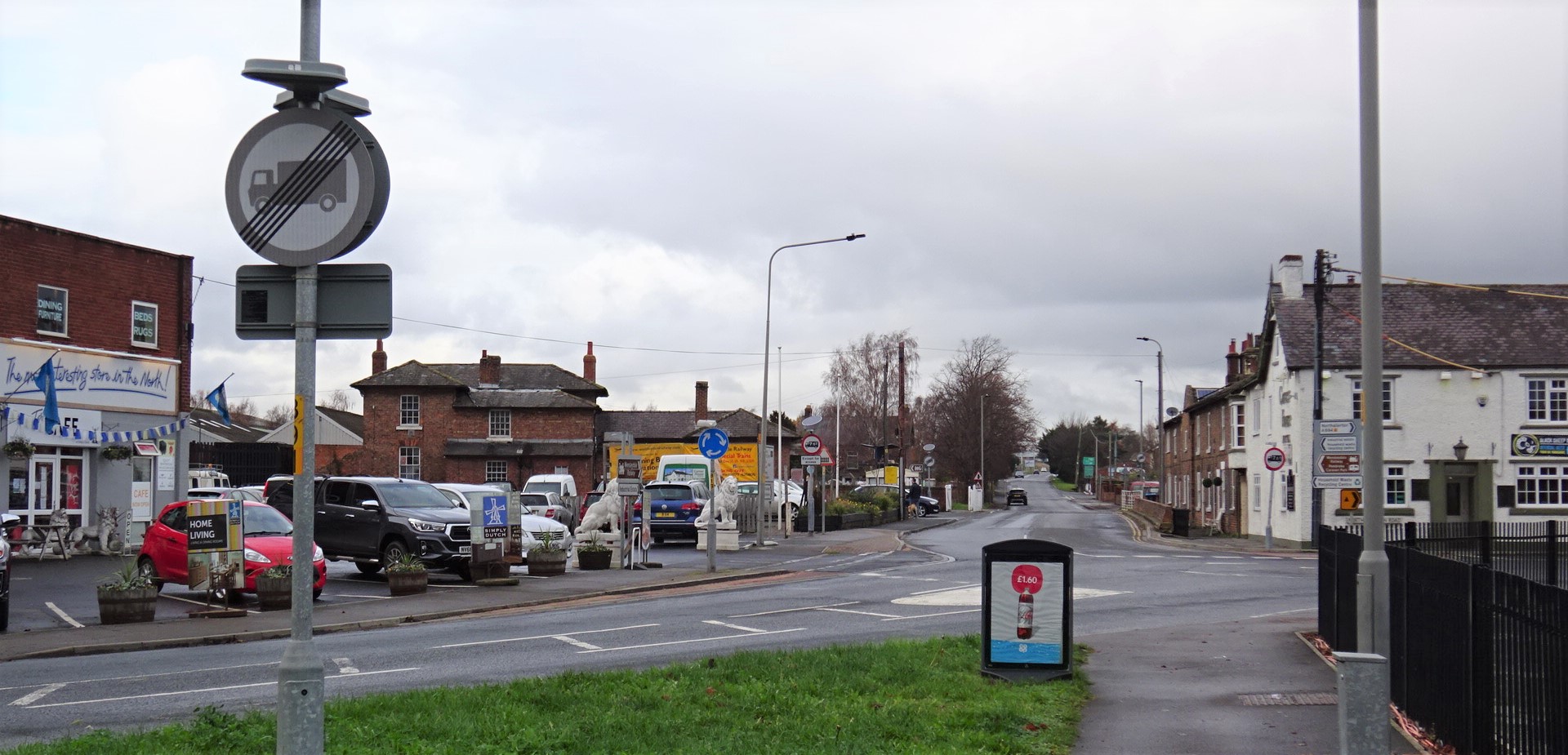
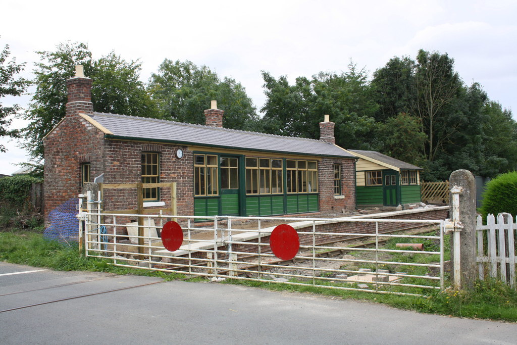
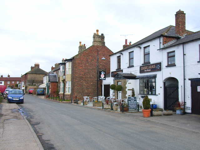
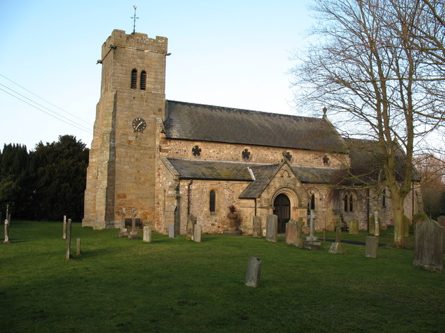
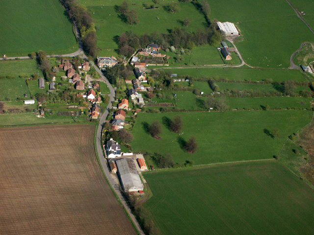
Aiskew Moor Images

Images are sourced within 2km of 54.312124/-1.5592338 or Grid Reference SE2890. Thanks to Geograph Open Source API. All images are credited.

Scuton, Bus Stop on Fleetham Lane
Scruton, Wainscoat Place
Ham Hall Level Crossing Crossing of Hamhall Lane and the Wensleydale Railway near Scruton.
Ham Hall Level Crossing
Crossing of Hamhall Lane and the Wensleydale Railway near Scruton.
Wensleydale Railway, Leeming Bar Station The station was opened by the York, Newcastle and Berwick Railway (a constituent company of the North Eastern Railway) in 1848 as the terminus of their branch from Northallerton. The line was later extended westwards to Leyburn by the Bedale and Leyburn Railway seven years later. The station was originally called Leeming Lane due to being sited on a level crossing on the Great North Road. However, in July 1902, it was renamed Leeming Bar.

The station was closed to passengers in April 1954 when the Northallerton to Hawes service fell victim to road competition, but reopened as part of the Wensleydale Railway in the summer of 2003. It is now home to the staff offices and engine shed where the railway’s locomotives and rolling stock are maintained and restored.

The red-brick station building is Grade II-listed (List Entry Number: 1150916 <span class="nowrap"><a title="https://historicengland.org.uk/listing/the-list/list-entry/1150916?section=official-list-entry" rel="nofollow ugc noopener" href="https://historicengland.org.uk/listing/the-list/list-entry/1150916?section=official-list-entry">Link</a><img style="margin-left:2px;" alt="External link" title="External link - shift click to open in new window" src="https://s1.geograph.org.uk/img/external.png" width="10" height="10"/></span> Historic England).
Wensleydale Railway, Leeming Bar Station
The station was opened by the York, Newcastle and Berwick Railway (a constituent company of the North Eastern Railway) in 1848 as the terminus of their branch from Northallerton. The line was later extended westwards to Leyburn by the Bedale and Leyburn Railway seven years later. The station was originally called Leeming Lane due to being sited on a level crossing on the Great North Road. However, in July 1902, it was renamed Leeming Bar. The station was closed to passengers in April 1954 when the Northallerton to Hawes service fell victim to road competition, but reopened as part of the Wensleydale Railway in the summer of 2003. It is now home to the staff offices and engine shed where the railway’s locomotives and rolling stock are maintained and restored. The red-brick station building is Grade II-listed (List Entry Number: 1150916 LinkExternal link Historic England).
Wensleydale Railway, Station Platform at Leeming Bar The station was opened by the York, Newcastle and Berwick Railway (a constituent company of the North Eastern Railway) in 1848 as the terminus of their branch from Northallerton. The line was later extended westwards to Leyburn by the Bedale and Leyburn Railway seven years later. The station was originally called Leeming Lane due to being sited on a level crossing on the Great North Road. However, in July 1902, it was renamed Leeming Bar.

The station was closed to passengers in April 1954 when the Northallerton to Hawes service fell victim to road competition but reopened as part of the Wensleydale Railway in the summer of 2003. It is now home to the staff offices and engine shed where the railway’s locomotives and rolling stock are maintained and restored.
Wensleydale Railway, Station Platform at Leeming Bar
The station was opened by the York, Newcastle and Berwick Railway (a constituent company of the North Eastern Railway) in 1848 as the terminus of their branch from Northallerton. The line was later extended westwards to Leyburn by the Bedale and Leyburn Railway seven years later. The station was originally called Leeming Lane due to being sited on a level crossing on the Great North Road. However, in July 1902, it was renamed Leeming Bar. The station was closed to passengers in April 1954 when the Northallerton to Hawes service fell victim to road competition but reopened as part of the Wensleydale Railway in the summer of 2003. It is now home to the staff offices and engine shed where the railway’s locomotives and rolling stock are maintained and restored.
A6055 near Leeming Bar
Railway yard at Leeming Bar Looking across part of the yard of the Wensleydale Railway at Leeming Bar Station.
Railway yard at Leeming Bar
Looking across part of the yard of the Wensleydale Railway at Leeming Bar Station.
Car park at Leeming Bar station Looking towards the station house on the Wensleydale Railway.
Car park at Leeming Bar station
Looking towards the station house on the Wensleydale Railway.
Leeming Bar Station and class 117 Part of the Wensleydale Railway. The DMU on the left is 117301.
Leeming Bar Station and class 117
Part of the Wensleydale Railway. The DMU on the left is 117301.
Lamps at Leeming Bar Station The very well maintained station on the Wensleydale Railway.
Lamps at Leeming Bar Station
The very well maintained station on the Wensleydale Railway.
Station house at Leeming Bar Very interesting tours of the house were being carried out.
Station house at Leeming Bar
Very interesting tours of the house were being carried out.
Railway cottages and toll house Looking towards cottages along the former Great North Road in Leeming Bar with the toll house in the middle.
Railway cottages and toll house
Looking towards cottages along the former Great North Road in Leeming Bar with the toll house in the middle.
Level crossing at Leeming Bar The Wensleydale Railway crossing the former Great North Road at Leeming Bar Station. Over the level crossing bubble car DMU 121032 is parked up.
Level crossing at Leeming Bar
The Wensleydale Railway crossing the former Great North Road at Leeming Bar Station. Over the level crossing bubble car DMU 121032 is parked up.
Level Crossing, Scruton Station Scruton Lane Station was originally opened by the York, Newcastle and Berwick Railway on 6 March 1848 and later became known as Scruton Station. Used for goods, livestock and passengers,  It was closed to passenger traffic by British Railways on 26 April 1954  with goods traffic continuing until 7 May 1956. It later fell into decay.

Despite the station's closure, the line remained open for limestone traffic until 1992 after which it was taken over by the Wensleydale Railway which obtained a lease of the 22 miles from Northallerton to Redmire. By the time the Wensleydale Railway opened in 2003, Scruton station was in a dilapidated and overgrown state. Restoration works were undertaken with the support of Scruton Parish Council and a grant from the Railway Heritage Trust. The station was fully restored and reopened by the Wensleydale Railway Trust in 2015.
Level Crossing, Scruton Station
Scruton Lane Station was originally opened by the York, Newcastle and Berwick Railway on 6 March 1848 and later became known as Scruton Station. Used for goods, livestock and passengers, It was closed to passenger traffic by British Railways on 26 April 1954 with goods traffic continuing until 7 May 1956. It later fell into decay. Despite the station's closure, the line remained open for limestone traffic until 1992 after which it was taken over by the Wensleydale Railway which obtained a lease of the 22 miles from Northallerton to Redmire. By the time the Wensleydale Railway opened in 2003, Scruton station was in a dilapidated and overgrown state. Restoration works were undertaken with the support of Scruton Parish Council and a grant from the Railway Heritage Trust. The station was fully restored and reopened by the Wensleydale Railway Trust in 2015.
Wensleydale Railway, Scruton Station Scruton Lane Station was originally opened by the York, Newcastle and Berwick Railway on 6 March 1848 and later became known as Scruton Station. Used for goods, livestock and passengers,  It was closed to passenger traffic by British Railways on 26 April 1954  with goods traffic continuing until 7 May 1956. It later fell into decay.

Despite the station's closure, the line remained open for limestone traffic until 1992 after which it was taken over by the Wensleydale Railway which obtained a lease of the 22 miles from Northallerton to Redmire. By the time the Wensleydale Railway opened in 2003, Scruton station was in a dilapidated and overgrown state. Restoration works were undertaken with the support of Scruton Parish Council and a grant from the Railway Heritage Trust. The station was fully restored and reopened by the Wensleydale Railway Trust in 2015.
Wensleydale Railway, Scruton Station
Scruton Lane Station was originally opened by the York, Newcastle and Berwick Railway on 6 March 1848 and later became known as Scruton Station. Used for goods, livestock and passengers, It was closed to passenger traffic by British Railways on 26 April 1954 with goods traffic continuing until 7 May 1956. It later fell into decay. Despite the station's closure, the line remained open for limestone traffic until 1992 after which it was taken over by the Wensleydale Railway which obtained a lease of the 22 miles from Northallerton to Redmire. By the time the Wensleydale Railway opened in 2003, Scruton station was in a dilapidated and overgrown state. Restoration works were undertaken with the support of Scruton Parish Council and a grant from the Railway Heritage Trust. The station was fully restored and reopened by the Wensleydale Railway Trust in 2015.
The Coore Arms, Scruton
Leeming Bar Station. On the Wensleydale Railway. Looking North East.
Leeming Bar Station.
On the Wensleydale Railway. Looking North East.
Ham Hall level crossing On the SE corner of the square - taken just about the time that the Wensleydale Railway were about to get ownership of the line after some 12 years or so of lack or trains
Ham Hall level crossing
On the SE corner of the square - taken just about the time that the Wensleydale Railway were about to get ownership of the line after some 12 years or so of lack or trains
Show me another place!

Aiskew Moor is located at Grid Ref: SE2890 (Lat: 54.312124, Lng: -1.5592338)

Division: North Riding

Administrative County: North Yorkshire

District: Hambleton

Police Authority: North Yorkshire

What 3 Words

///shorthand.cookers.polka. Near Bedale, North Yorkshire

Related Wikis

Nearby Amenities

Located within 500m of 54.312124,-1.5592338
Turning Circle
Lat/Long: 54.3082817/-1.5599252
Crossing
Crossing: unmarked
Crossing Markings: no
Tactile Paving: yes
Lat/Long: 54.311113/-1.5661845
Crossing
Crossing: unmarked
Crossing Markings: no
Tactile Paving: yes
Lat/Long: 54.3111963/-1.5662873
Crossing
Lat/Long: 54.3123624/-1.5628395
Barrier: bollard
Bicycle: yes
Foot: yes
Horse: yes
Lat/Long: 54.3122562/-1.562783
Crossing
Bicycle: yes
Horse: yes
Kerb: no
Tactile Paving: yes
Lat/Long: 54.3105259/-1.5654394
Barrier: bollard
Bicycle: yes
Foot: yes
Horse: yes
Lat/Long: 54.3126185/-1.5629758
Generator Method: photovoltaic
Generator Output Electricity: yes
Generator Source: solar
Generator Type: solar_photovoltaic_panel
Power: generator
Lat/Long: 54.3078574/-1.5613966
Give Way
Direction: backward
Lat/Long: 54.3118158/-1.5662977
The data included in this document is from www.openstreetmap.org. The data is made available under ODbL.

Have you been to Aiskew Moor?

Leave your review of Aiskew Moor below (or comments, questions and feedback).