Hatfield Broad Oak

Settlement in Essex Uttlesford

England

Hatfield Broad Oak

Cammas Lane Towards Needham Green and Hatfield Broad Oak.
Cammas Lane Credit: Robin Webster

Hatfield Broad Oak is a charming village located in the county of Essex, England. Situated approximately 40 miles northeast of London, it is nestled within the beautiful countryside and boasts a population of around 1,300 residents. The village is known for its picturesque setting, historic buildings, and strong sense of community.

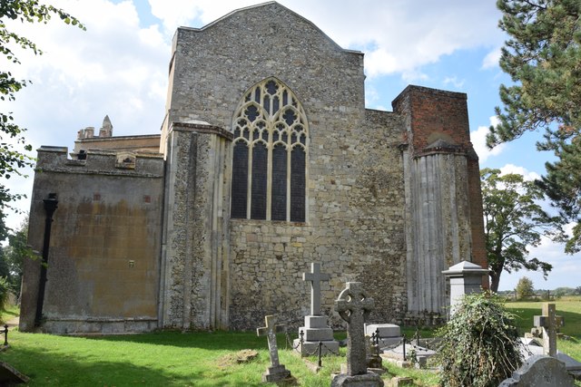
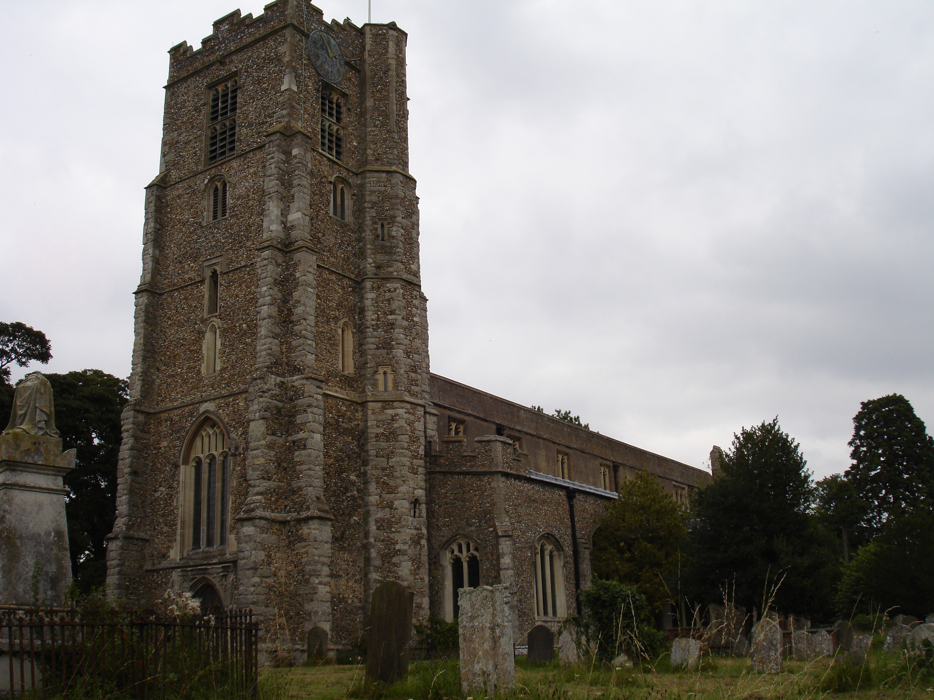
One of the notable landmarks in Hatfield Broad Oak is the 13th-century St Mary the Virgin Church, which dominates the village center. This magnificent church features stunning architecture, including a striking tower and a beautiful stained glass window. The church is a significant historical and cultural site, attracting visitors from both near and far.

The village itself is characterized by its quaint and picturesque streets, lined with traditional timber-framed houses and cottages. These historic buildings add to the village's charm and provide a glimpse into its rich heritage. Hatfield Broad Oak also has a range of amenities to cater to its residents, including a primary school, village hall, and several local shops and pubs.

The community spirit in Hatfield Broad Oak is strong, with various events and activities taking place throughout the year. The village hosts an annual summer fair, which brings together residents and visitors for a day of fun-filled entertainment, food, and games. Additionally, the village has a cricket club, providing a popular pastime for sports enthusiasts.

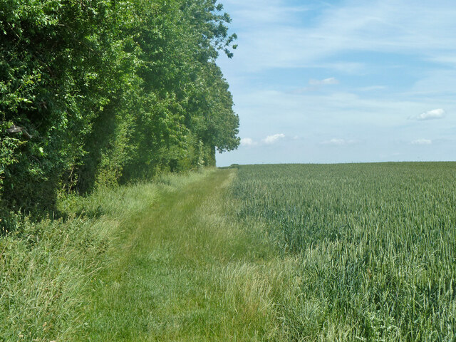
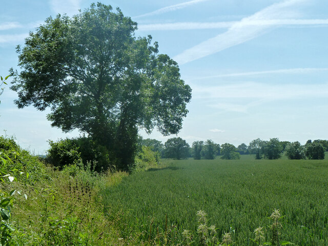
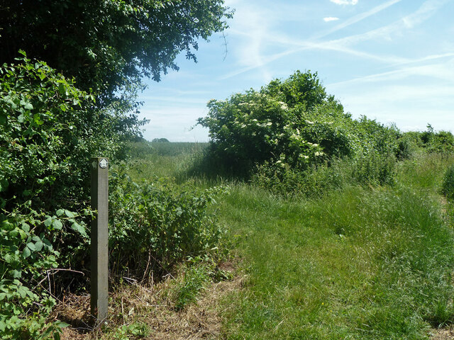
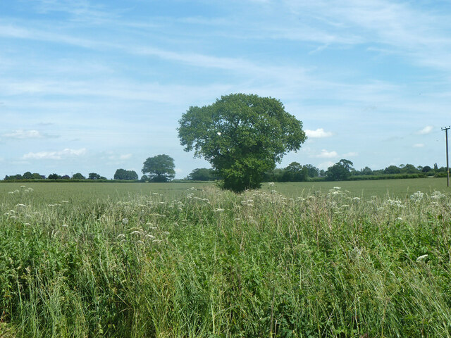
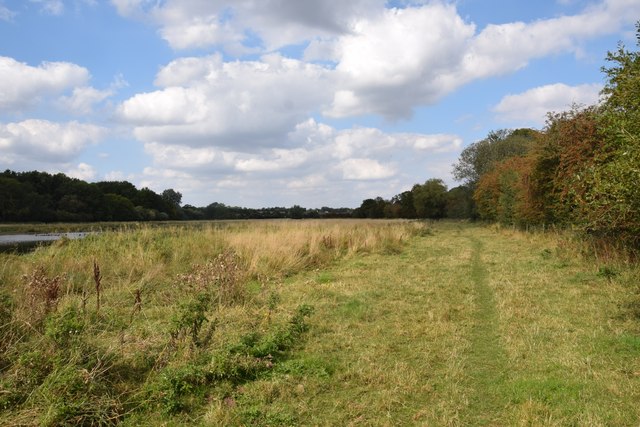
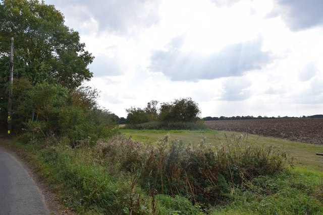
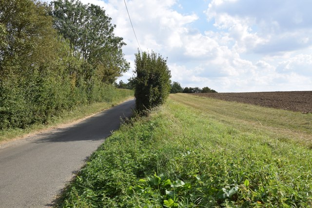
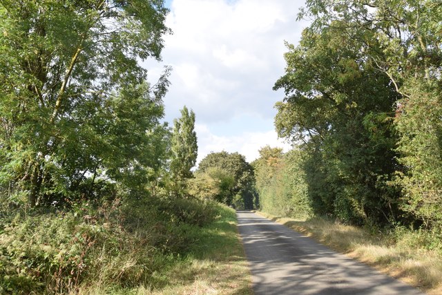
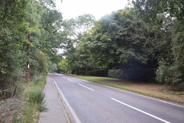
Surrounded by rolling countryside, Hatfield Broad Oak offers residents and visitors ample opportunities for outdoor pursuits. The village is located near several nature reserves and walking trails, providing a tranquil escape from the hustle and bustle of city life.

In summary, Hatfield Broad Oak is a picturesque village in Essex, known for its historic buildings, strong community spirit, and beautiful countryside. It offers a peaceful and idyllic setting, making it a desirable place to live or visit.

If you have any feedback on the listing, please let us know in the comments section below.

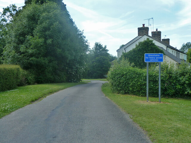
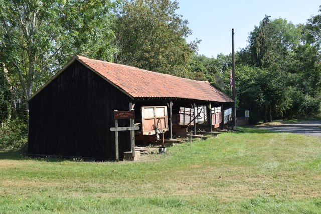
Hatfield Broad Oak Images

Images are sourced within 2km of 51.825983/0.241427 or Grid Reference TL5416. Thanks to Geograph Open Source API. All images are credited.

Cammas Lane Towards Needham Green and Hatfield Broad Oak.
Cammas Lane
Towards Needham Green and Hatfield Broad Oak.
Footpath White Roding 2 by Row Wood From Hatfield Broad Oak (as Hatfield Broad Oak 29) towards White Roding.
Footpath White Roding 2 by Row Wood
From Hatfield Broad Oak (as Hatfield Broad Oak 29) towards White Roding.
Hedgerow tree near Row Wood The Hatfield Broad Oak (right) - White Roding (left) parish boundary follows the hedge.
Hedgerow tree near Row Wood
The Hatfield Broad Oak (right) - White Roding (left) parish boundary follows the hedge.
Footpath turns left at corner of Row Wood The Hatfield Broad Oak - White Roding parish boundary follows the near edge of the wood and down the hedge ahead. So footpath Hatfield Broad Oak 29 becomes White Roding 2.
Footpath turns left at corner of Row Wood
The Hatfield Broad Oak - White Roding parish boundary follows the near edge of the wood and down the hedge ahead. So footpath Hatfield Broad Oak 29 becomes White Roding 2.
Tree on field boundary The boundary is actually a ditch, but rather swamped with vegetation at the end of June.
Tree on field boundary
The boundary is actually a ditch, but rather swamped with vegetation at the end of June.
Cannons Lane, Hatfield Broad Oak The Broad Street Green part of the village.
Cannons Lane, Hatfield Broad Oak
The Broad Street Green part of the village.
Field with tree north of Sparrow Lane The left part of the field has been spread with some black fertilizer - perhaps sewage sludge?
Field with tree north of Sparrow Lane
The left part of the field has been spread with some black fertilizer - perhaps sewage sludge?
Sparrow Lane alias Needham Green Road Maps differ on the road name, but it is plated Sparrow Lane at its far south end, and Sparrow Hall Farm is some way north of here (with no plate), so Sparrow Lane seems preferable.
Sparrow Lane alias Needham Green Road
Maps differ on the road name, but it is plated Sparrow Lane at its far south end, and Sparrow Hall Farm is some way north of here (with no plate), so Sparrow Lane seems preferable.
Cottage on Cammas Lane This is Needham Cottage on the lane south east of the junction with the road to Hatfield Broad Oak.
Cottage on Cammas Lane
This is Needham Cottage on the lane south east of the junction with the road to Hatfield Broad Oak.
Shed with trailers  One of the farm buildings at Crabbs Green Farm.
Shed with trailers
One of the farm buildings at Crabbs Green Farm.
Field and farm track at Crabbs Green Farm The field has been freshly ploughed and a harrow is working nearby.
Field and farm track at Crabbs Green Farm
The field has been freshly ploughed and a harrow is working nearby.
Field north of Crabbs Green Farm Taken from Crabbs Green Lane looking west. The tractor track dead ahead shows the line of the public footpath crossing this field.
Field north of Crabbs Green Farm
Taken from Crabbs Green Lane looking west. The tractor track dead ahead shows the line of the public footpath crossing this field.
Footpath through The Marsh This area north of Hatfield Broad Oak, formerly apparently common grazing, is a good wildlife habitat. Though there are some areas of standing water (one can be seen to the right here), most of the marshy area was dry today - as was Pincey Brook, whose course the path runs beside.
Footpath through The Marsh
This area north of Hatfield Broad Oak, formerly apparently common grazing, is a good wildlife habitat. Though there are some areas of standing water (one can be seen to the right here), most of the marshy area was dry today - as was Pincey Brook, whose course the path runs beside.
View from the lane north of Copperfields
Field, lane and a bit of hedgerow Taken on the lane between Copperfields and Forest Hall.
Field, lane and a bit of hedgerow
Taken on the lane between Copperfields and Forest Hall.
Pillars of an ecclesiastical dispute Or maybe not. This is the east end of St Mary the Virgin. The pillars here are the remaining two of four pillars which supported the central tower of the Benedictine Priory church - which until the Dissolution was twice as long as the present church. So much is not in dispute; however notes in the church say the church was divided by this east wall following violent disputes between the parish and its priest, and the monks - who the parishioners accused of not maintaining the then-shared. This was supposedly carried out on the orders of the king as a solution to the dispute. I can't find any reference to these events on-line, in Victoria County History etc although other disputes are recorded concerning the priory. I suspect that maybe the east wall was constructed in 1536 when the priory was dissolved in order to reduce the church to more manageable proportions - though I stand to be corrected.
Pillars of an ecclesiastical dispute
Or maybe not. This is the east end of St Mary the Virgin. The pillars here are the remaining two of four pillars which supported the central tower of the Benedictine Priory church - which until the Dissolution was twice as long as the present church. So much is not in dispute; however notes in the church say the church was divided by this east wall following violent disputes between the parish and its priest, and the monks - who the parishioners accused of not maintaining the then-shared. This was supposedly carried out on the orders of the king as a solution to the dispute. I can't find any reference to these events on-line, in Victoria County History etc although other disputes are recorded concerning the priory. I suspect that maybe the east wall was constructed in 1536 when the priory was dissolved in order to reduce the church to more manageable proportions - though I stand to be corrected.
Ryes Lane Looking north from near Corringales.
Ryes Lane
Looking north from near Corringales.
On the road to Hatfield Heath Near Town Grove.
On the road to Hatfield Heath
Near Town Grove.
Show me another place!

Hatfield Broad Oak is located at Grid Ref: TL5416 (Lat: 51.825983, Lng: 0.241427)

Administrative County: Essex

District: Uttlesford

Police Authority: Essex

What 3 Words

///pillow.solo.twin. Near Hatfield Heath, Essex

Nearby Locations

Hatfield Broad Oak

Related Wikis

Hatfield Broad Oak

Hatfield Broad Oak (also known as Hatfield Regis) is a village and civil parish in the Uttlesford district of Essex, England. The village is approximately...

Hatfield Regis Priory

Hatfield Broad Oak Priory, or Hatfield Regis Priory, is a former Benedictine priory in Hatfield Broad Oak, Essex, England. Founded by 1139, it was dissolved...

Barrington Hall, Essex

Barrington Hall is a Grade II* listed 18th-century English country house in Hatfield Broad Oak, Essex, England. Barrington Hall is built in red brick...

Taverners Green

Taverners Green is a hamlet in the Hatfield Broad Oak civil parish of the Uttlesford district, in the county of Essex, England. Nearby settlements include...

Nearby Amenities

Located within 500m of 51.825983,0.241427
Bus Stop
Post Office
Bus: yes
Naptan AtcoCode: 1500DGK174
Naptan Bearing: E
Naptan BusStopType: CUS
Naptan CommonName: Post Office
Naptan Crossing: Cage End
Naptan Indicator: o/s
Naptan Landmark: Post Office
Naptan NaptanCode: esxgmtjg
Naptan PlusbusZoneRef: BSHPSFD
Naptan Street: High Street
Naptan Verified: no
Public Transport: platform
Source: naptan_import
Lat/Long: 51.826069/0.2415903
Bus Stop
The Dukes Head
Bus: yes
Naptan AtcoCode: 1500IM2189
Naptan Bearing: S
Naptan CommonName: The Dukes Head
Naptan Indicator: Opp
Naptan Landmark: The Dukes Head
Naptan NaptanCode: esxdgjgd
Naptan PlusbusZoneRef: BSHPSFD
Naptan Street: Broad Street
Naptan Verified: no
Public Transport: platform
Source: naptan_import
Lat/Long: 51.8273244/0.2474289
Bus Stop
The Dukes Head
Bus: yes
Naptan AtcoCode: 1500IM2189B
Naptan Bearing: N
Naptan CommonName: The Dukes Head
Naptan Indicator: o/s
Naptan Landmark: The Dukes Head
Naptan NaptanCode: esxdgjga
Naptan PlusbusZoneRef: BSHPSFD
Naptan Street: Broad Street
Naptan Verified: no
Public Transport: platform
Source: naptan_import
Lat/Long: 51.8271908/0.2473642
Hatfield Broad Oak
Place: village
Wikidata: Q2679824
Lat/Long: 51.8253597/0.24403
Barrier: kissing_gate
Lat/Long: 51.8272662/0.2414015
Barrier: stile
Source: survey
Lat/Long: 51.8282126/0.240543
Barrier: stile
Source: survey
Lat/Long: 51.8281934/0.2406052
Shop: convenience
Lat/Long: 51.8261032/0.2416364
R H Simons & Sons
Opening Hours: Mo-Fr 07:30-13:00, 14:00-16:00; Sa 07:30-13:00
Phone: +44 1279 718271
Shop: butcher
Lat/Long: 51.8256256/0.2417477
Barrier: cycle_barrier
Lat/Long: 51.8246409/0.2450216
Crossing
Crossing: zebra
Crossing Island: no
Crossing Markings: zebra
Tactile Paving: yes
Lat/Long: 51.8267184/0.2446751
Bench
Lat/Long: 51.826783/0.2445209
Man Made: street_cabinet
Lat/Long: 51.82721/0.2459803
The data included in this document is from www.openstreetmap.org. The data is made available under ODbL.

Have you been to Hatfield Broad Oak?

Leave your review of Hatfield Broad Oak below (or comments, questions and feedback).