Plaitford Common
Downs, Moorland in Wiltshire Test Valley
England
Plaitford Common
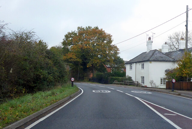
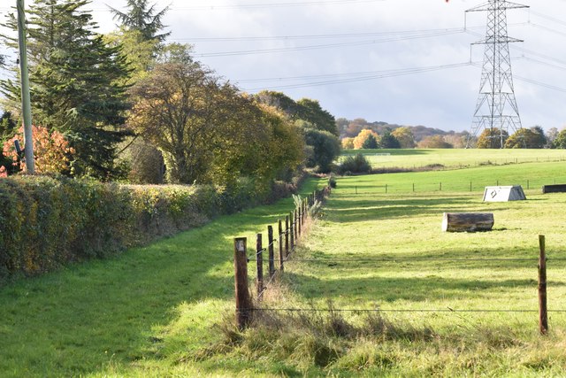
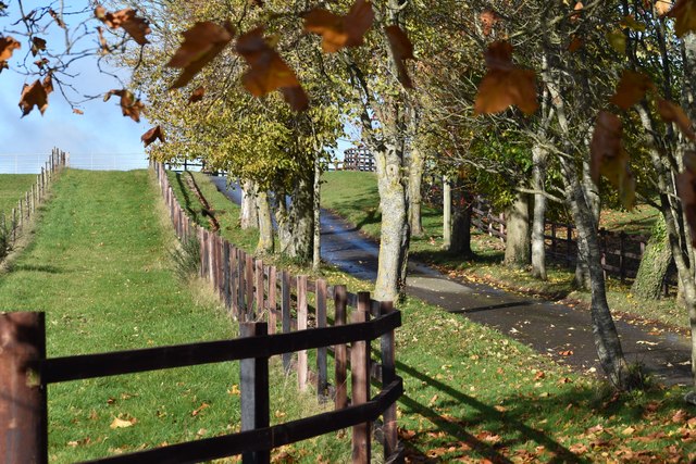
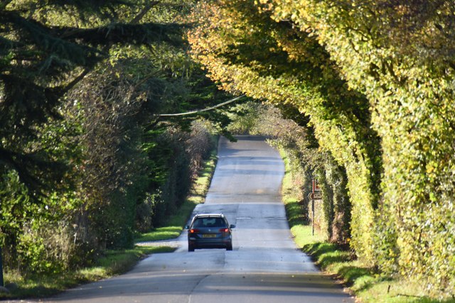
Plaitford Common is a picturesque area located in the county of Wiltshire, England. Situated on the edge of the New Forest National Park, this vast expanse of land covers an area of approximately 500 acres. The common is characterized by its diverse landscape, encompassing both downs and moorland.
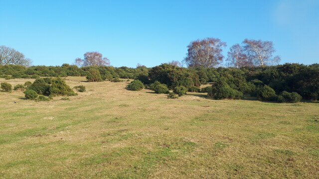
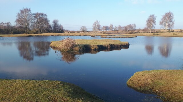
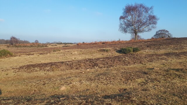
The downs of Plaitford Common are dominated by gently rolling hills covered in lush green grass. These open spaces provide a haven for a variety of flora and fauna, with wildflowers such as cowslips and harebells dotting the landscape during the spring and summer months. The downs also offer breathtaking views of the surrounding countryside, making it a popular spot for hikers and nature enthusiasts.
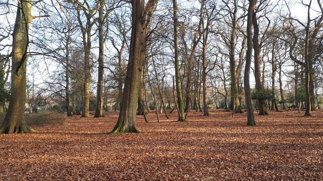
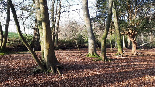
On the other hand, the moorland section of Plaitford Common showcases a different side of the area's natural beauty. Here, visitors can explore vast expanses of heather and gorse, interspersed with scattered woodland areas. The moorland is home to a diverse range of wildlife, including birds such as curlews and stonechats, as well as reptiles like adders and slow worms.
Plaitford Common is also rich in historical and archaeological significance. It is believed to have been used as a common grazing area for centuries, and remnants of ancient settlements and burial mounds can still be found scattered throughout the landscape.
Overall, Plaitford Common offers a unique blend of natural beauty, biodiversity, and historical significance, making it a must-visit destination for anyone exploring the Wiltshire countryside.
If you have any feedback on the listing, please let us know in the comments section below.
Plaitford Common Images
Images are sourced within 2km of 50.96295/-1.6073529 or Grid Reference SU2718. Thanks to Geograph Open Source API. All images are credited.


Plaitford Common is located at Grid Ref: SU2718 (Lat: 50.96295, Lng: -1.6073529)
Administrative County: Hampshire
District: Test Valley
Police Authority: Hampshire
What 3 Words
///starring.stripped.clutches. Near West Wellow, Hampshire
Nearby Locations
Related Wikis

Plaitford
Plaitford is a small village and former civil parish, now in the parish of Melchet Park and Plaitford, in the Test Valley district of Hampshire, England...

Landford Heath
Landford Heath (grid reference SU265178) is an 11.75 hectare biological Site of Special Scientific Interest near Landford in southeast Wiltshire, England...
Landford Bog
Landford Bog (grid reference SU259185) is an 11.6 hectare biological Site of Special Scientific Interest at Landford in southeast Wiltshire, England. It...

Landford
Landford is a village and civil parish 10 miles (16 km) southeast of Salisbury in Wiltshire, England. To the south and east of the parish is the county...

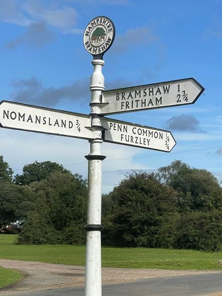
Bramshaw
Bramshaw is a small village and civil parish in Hampshire, England. It lies just inside the New Forest. The name Bramshaw means Bramble Wood. Until 1895...
Landford Manor
Landford Manor is a Grade II* listed house in Stock Lane, Landford, Wiltshire, England. It dates from around 1600, the south wing from around 1680, with...

Wellow, Hampshire
Wellow is a village and civil parish in Hampshire, England that falls within the Test Valley district. The village lies just outside the New Forest, across...

Nomansland, Wiltshire
Nomansland is a small village in Wiltshire, England, close to the county border with Hampshire. It is part of the parish of Landford and lies about 3.5...
Nearby Amenities
Located within 500m of 50.96295,-1.6073529Have you been to Plaitford Common?
Leave your review of Plaitford Common below (or comments, questions and feedback).