Big Moor
Downs, Moorland in Derbyshire Derbyshire Dales
England
Big Moor
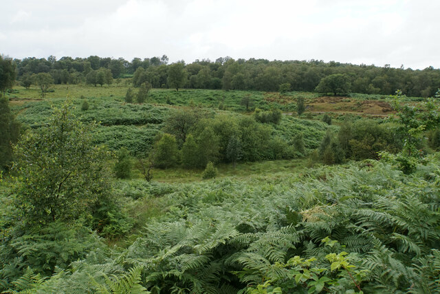
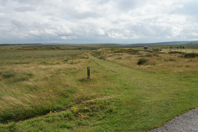
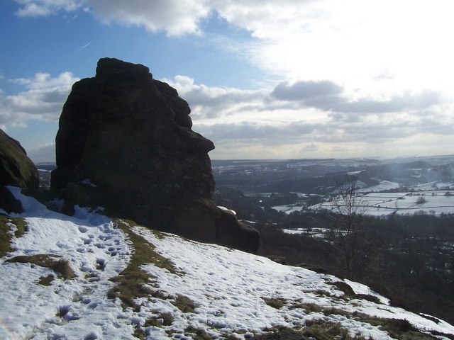
Big Moor is a vast expanse of moorland located in the Derbyshire Peak District, England. Covering an area of approximately 600 acres, it is characterized by its rolling hills, heather-covered slopes, and scattered rock formations. Big Moor is situated at an elevation of around 400 meters, offering breathtaking panoramic views of the surrounding countryside.
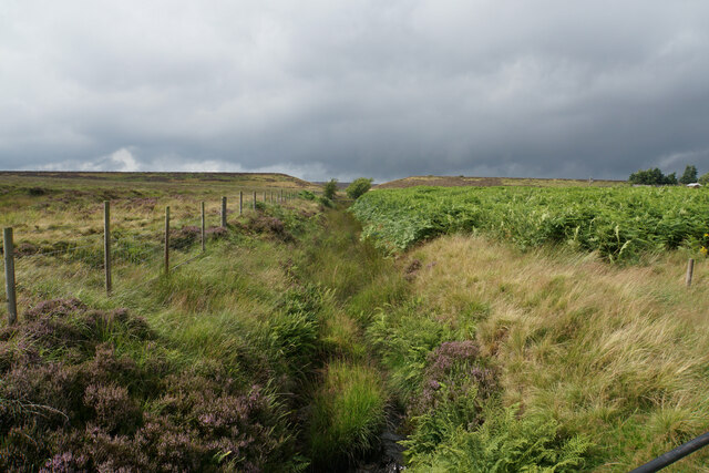
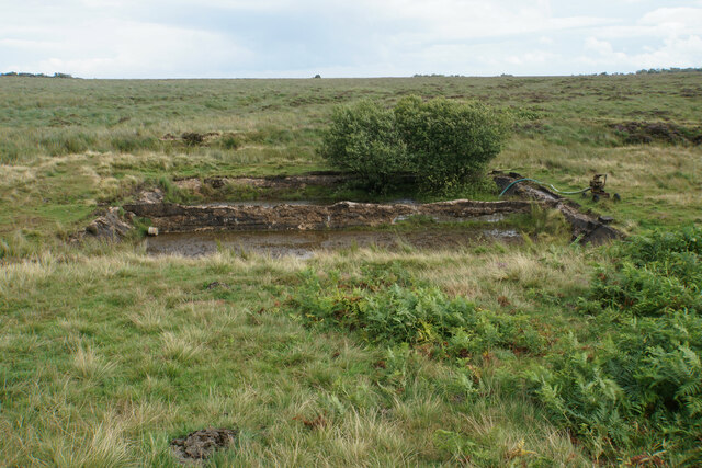
The moorland is home to a diverse range of flora and fauna, including heather, bilberry, and cotton grass. These plant species create a vibrant and colorful landscape, particularly during the summer months when the moor is ablaze with purples, pinks, and yellows. The area is also known for its rich birdlife, with species such as curlew, lapwing, and red grouse commonly spotted.
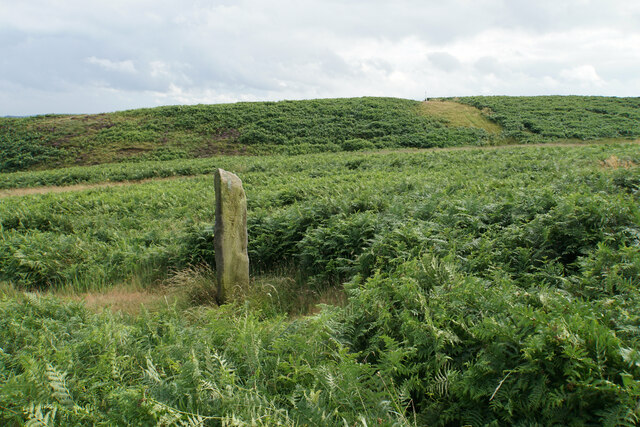
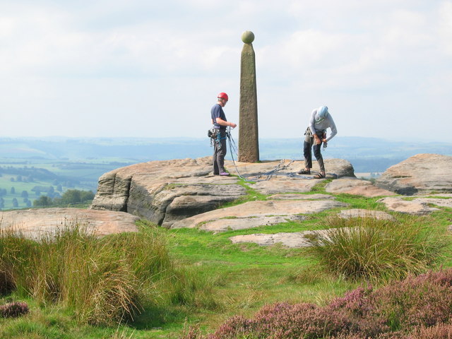
Visitors to Big Moor can enjoy a variety of activities, including walking, hiking, and wildlife watching. Numerous footpaths crisscross the moor, offering a chance to explore its hidden corners and discover its unique features. The moorland is intersected by ancient stone walls and scattered with prehistoric burial mounds, adding to its historical significance.
Big Moor is not only a haven for nature enthusiasts but also an important archaeological site. The area has been inhabited for thousands of years, and evidence of human activity can be found in the form of Bronze Age barrows and stone circles. These remnants of the past provide a fascinating insight into the area's ancient history.
Overall, Big Moor in Derbyshire offers a tranquil and picturesque setting, where visitors can immerse themselves in the natural beauty of the moorland while discovering its historical significance.
If you have any feedback on the listing, please let us know in the comments section below.
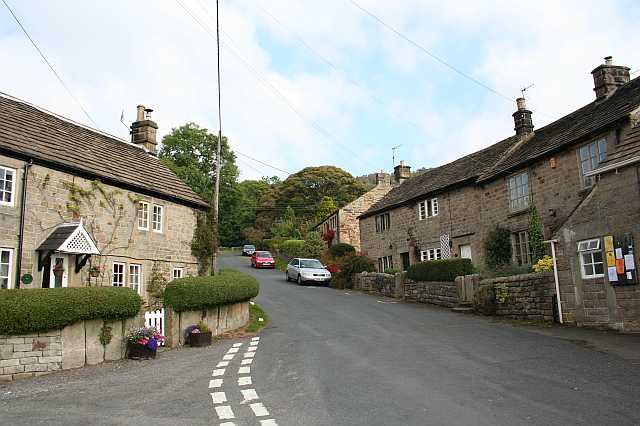
Big Moor Images
Images are sourced within 2km of 53.278212/-1.5894624 or Grid Reference SK2775. Thanks to Geograph Open Source API. All images are credited.


Big Moor is located at Grid Ref: SK2775 (Lat: 53.278212, Lng: -1.5894624)
Administrative County: Derbyshire
District: Derbyshire Dales
Police Authority: Derbyshire
What 3 Words
///generated.reporters.radiating. Near Baslow, Derbyshire
Nearby Locations
Related Wikis

Barbrook One
Barbrook One (grid reference SK27857558) is a stone circle on Ramsley Moor in the Peak District. == Description == "Barbrook No. 1" is an embanked stone...

Curbar Edge
Curbar Edge is a gritstone moorland escarpment above the village of Curbar, in Derbyshire, England and close to the villages of Baslow, Calver, and Froggatt...

Curbar
Curbar is a village and civil parish in the Derbyshire Dales district of Derbyshire, England. The population based on the 2011 Census was 417. Curbar is...

Gardom's Edge
Gardom's Edge is a rocky outcrop near Baslow in Derbyshire, England. The shelf between Gardom's Edge and Birchen Edge is now moorland used for grazing...
Birchen Edge
Birchen Edge is a gritstone rock face in the Peak District, England, popular with walkers and novice climbers as most of the climbing routes are in the...
Froggatt Edge
Froggatt Edge is a gritstone escarpment in the Dark Peak area of the Peak District National Park, in Derbyshire, England, close to the villages of Froggatt...
Froggatt, Derbyshire
Froggatt is a village and a civil parish on the A625 road and the River Derwent in the English county of Derbyshire. The population of the civil parish...

Owler Bar
Owler Bar is a small area of settlement and locally important road junction in the parish of Holmesfield, Derbyshire, England. It lies at an altitude of...
Nearby Amenities
Located within 500m of 53.278212,-1.5894624Have you been to Big Moor?
Leave your review of Big Moor below (or comments, questions and feedback).