Carsington Pasture
Downs, Moorland in Derbyshire Derbyshire Dales
England
Carsington Pasture

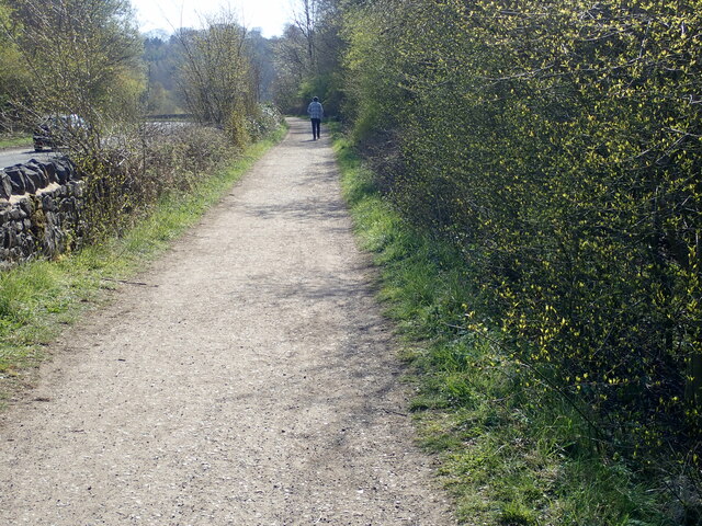
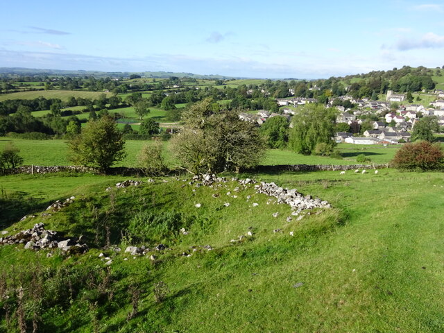
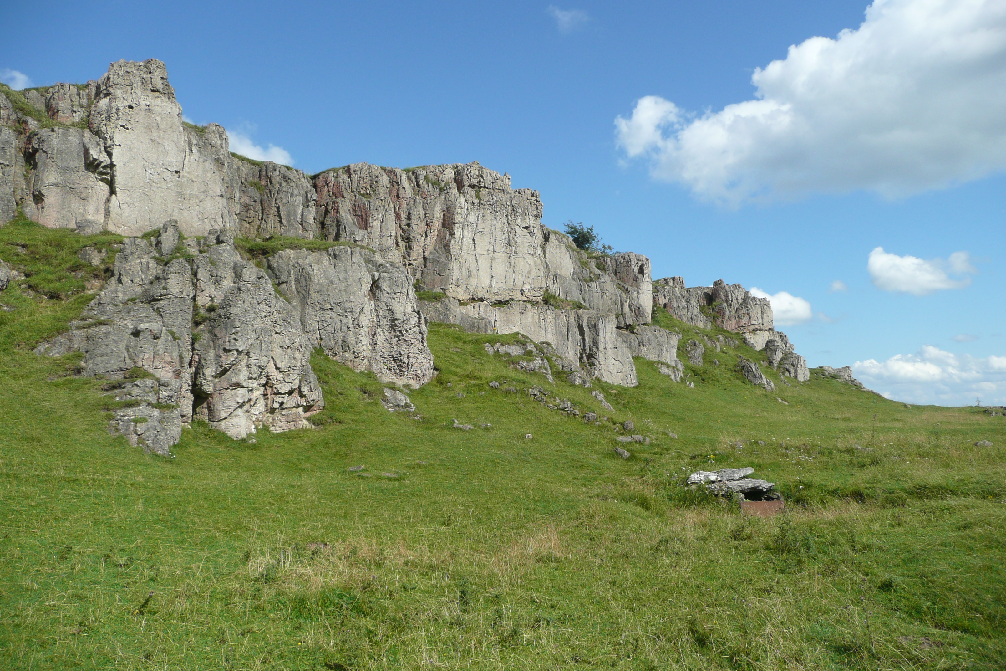
Carsington Pasture is a picturesque area located in Derbyshire, England. Situated amidst the stunning landscape of the Derbyshire Dales, it is renowned for its vast expanse of downs and moorland. Covering an area of approximately 5 square miles, Carsington Pasture offers visitors a unique opportunity to immerse themselves in the natural beauty of the region.
The pasture is characterized by rolling hills, heather-covered moorland, and lush grasslands that provide a habitat for a variety of flora and fauna. It is a haven for nature enthusiasts, with numerous walking trails and footpaths that allow visitors to explore its diverse ecosystem. From sweeping views of the surrounding countryside to the tranquil sounds of nature, Carsington Pasture offers a peaceful retreat from the hustle and bustle of everyday life.
The area is also home to the beautiful Carsington Water, a reservoir that spans over 750 acres. This man-made lake provides a picturesque backdrop for the pasture, attracting water sports enthusiasts, anglers, and birdwatchers alike. The reservoir is a designated nature reserve and offers a sanctuary for a wide range of bird species, making it a popular destination for birdwatching enthusiasts.
Carsington Pasture is not only a natural haven but also a place of historical significance. The pasture is dotted with ancient burial mounds and stone circles, offering a glimpse into the region's rich history. Visitors can explore these archaeological sites and learn about the area's past through guided tours and interpretive displays.
Overall, Carsington Pasture, with its stunning downs, moorland, and scenic reservoir, is a must-visit destination for nature lovers, outdoor enthusiasts, and history buffs alike.
If you have any feedback on the listing, please let us know in the comments section below.
Carsington Pasture Images
Images are sourced within 2km of 53.083552/-1.6350287 or Grid Reference SK2454. Thanks to Geograph Open Source API. All images are credited.


Carsington Pasture is located at Grid Ref: SK2454 (Lat: 53.083552, Lng: -1.6350287)
Administrative County: Derbyshire
District: Derbyshire Dales
Police Authority: Derbyshire
What 3 Words
///food.repeats.describes. Near Wirksworth, Derbyshire
Nearby Locations
Related Wikis

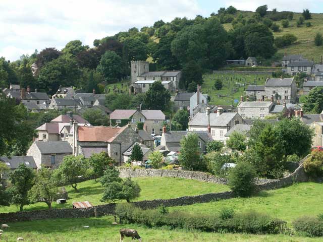
Carsington
Carsington is a village in the middle of the Derbyshire Dales, England; it adjoins the hamlet of Hopton, and is close to the historic town of Wirksworth...

St Margaret's Church, Carsington
St Margaret's Church, Carsington, is a Grade II* listed parish church in the Church of England: 122 in Carsington, Derbyshire. == History == The church...
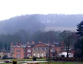
Hopton Hall
Hopton Hall is an 18th-century country house at Hopton, near Wirksworth, Derbyshire. It is a Grade II listed building. The Manor of Hopton, anciently the...
Brassington
Brassington is a village and civil parish in the Derbyshire Dales district of Derbyshire, 16 miles north west of Derby. The parish had a population of...
Harboro' Rocks
Harboro' Rocks (or Harborough Rocks) is a dolomitic limestone hill near the village of Brassington in the Derbyshire Peak District. The summit is 379 metres...
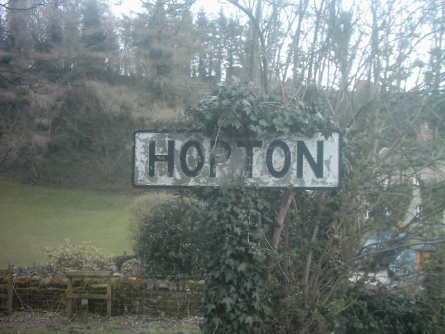
Hopton, Derbyshire
Hopton is a small village adjacent to the village of Carsington and two miles from the market town of Wirksworth in the Peak District. Evidence of humans...

West Derbyshire (UK Parliament constituency)
West Derbyshire was a county constituency represented in the House of Commons of the Parliament of the United Kingdom. From 1885, until it was replaced...

Hopton Tunnel
Hopton Tunnel is a former railway tunnel in Hopton, Derbyshire. Located on the former Cromford and High Peak Railway. The tunnel was closed along with...
Nearby Amenities
Located within 500m of 53.083552,-1.6350287Have you been to Carsington Pasture?
Leave your review of Carsington Pasture below (or comments, questions and feedback).