Bledington Heath
Downs, Moorland in Gloucestershire Cotswold
England
Bledington Heath
Bledington Heath is a picturesque area located in Gloucestershire, England. Situated in the heart of the Cotswolds, it is known for its stunning natural beauty and diverse landscape. The heath is nestled between rolling hills and encompasses both downs and moorland, offering a unique blend of terrains.
The downs of Bledington Heath are characterized by vast expanses of open grassland, dotted with patches of scrub and scattered trees. These downs provide an idyllic setting for leisurely walks, picnics, and outdoor activities. Visitors can enjoy breathtaking panoramic views of the surrounding countryside from the elevated vantage points.
In contrast, the moorland of Bledington Heath offers a more rugged and wild experience. This area is characterized by heather-covered hills, peat bogs, and scattered rocky outcrops. It provides a habitat for a variety of plant and animal species, including rare birds such as the red grouse and curlew.
Bledington Heath is a popular destination for nature enthusiasts, hikers, and birdwatchers, who flock to the area to explore its diverse ecosystems. The heath is also home to several well-maintained footpaths and trails, allowing visitors to navigate the terrain with ease.
With its tranquil ambiance and stunning vistas, Bledington Heath offers a perfect escape from the hustle and bustle of urban life. Whether one seeks a leisurely stroll through rolling downs or a more adventurous hike across the moorland, this area promises a memorable experience for all who visit.
If you have any feedback on the listing, please let us know in the comments section below.
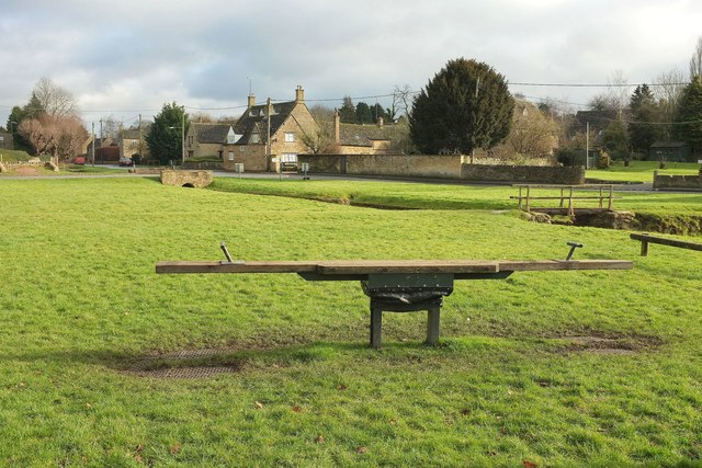
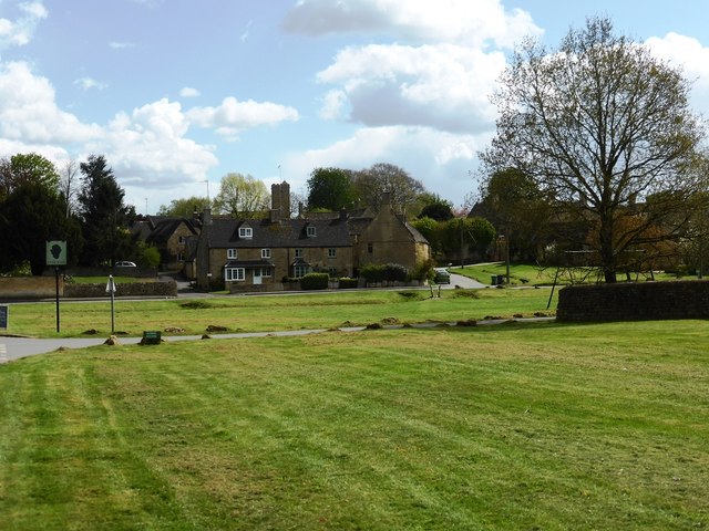
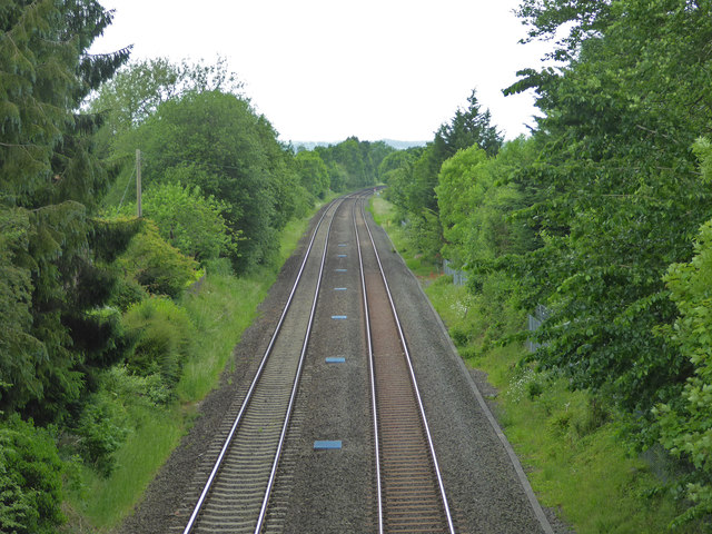
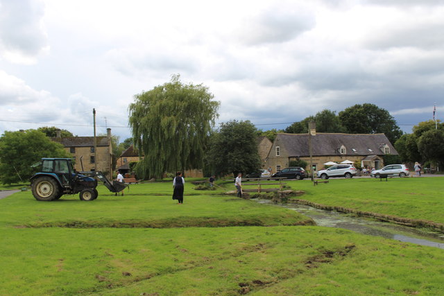
Bledington Heath Images
Images are sourced within 2km of 51.919494/-1.6499162 or Grid Reference SP2424. Thanks to Geograph Open Source API. All images are credited.


Bledington Heath is located at Grid Ref: SP2424 (Lat: 51.919494, Lng: -1.6499162)
Administrative County: Gloucestershire
District: Cotswold
Police Authority: Gloucestershire
What 3 Words
///expensive.tigers.breezy. Near Stow on the Wold, Gloucestershire
Nearby Locations
Related Wikis
Church of St Peter, Daylesford
The Anglican Church of St Peter at Daylesford in the Cotswold District of Gloucestershire, England was rebuilt in 1860. It is a grade I listed building...

Daylesford, Gloucestershire
Daylesford is a small, privately owned village and former civil parish, now in the parish of Adlestrop, in the Cotswold district, in the county of Gloucestershire...

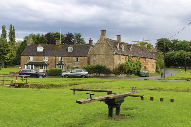
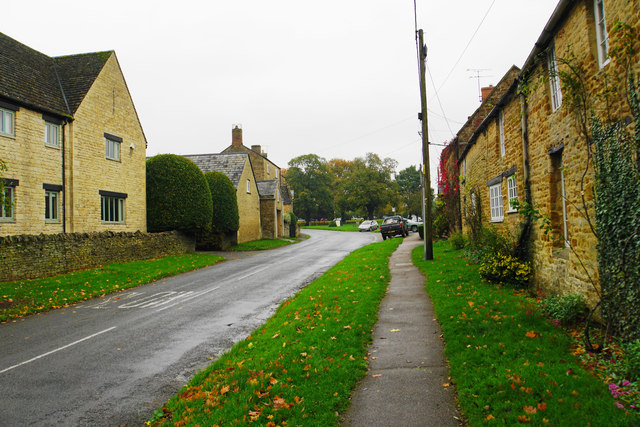
Bledington
Bledington is a village and civil parish in the Cotswold district of Gloucestershire, England, about four miles southeast of Stow-on-the-Wold and six miles...
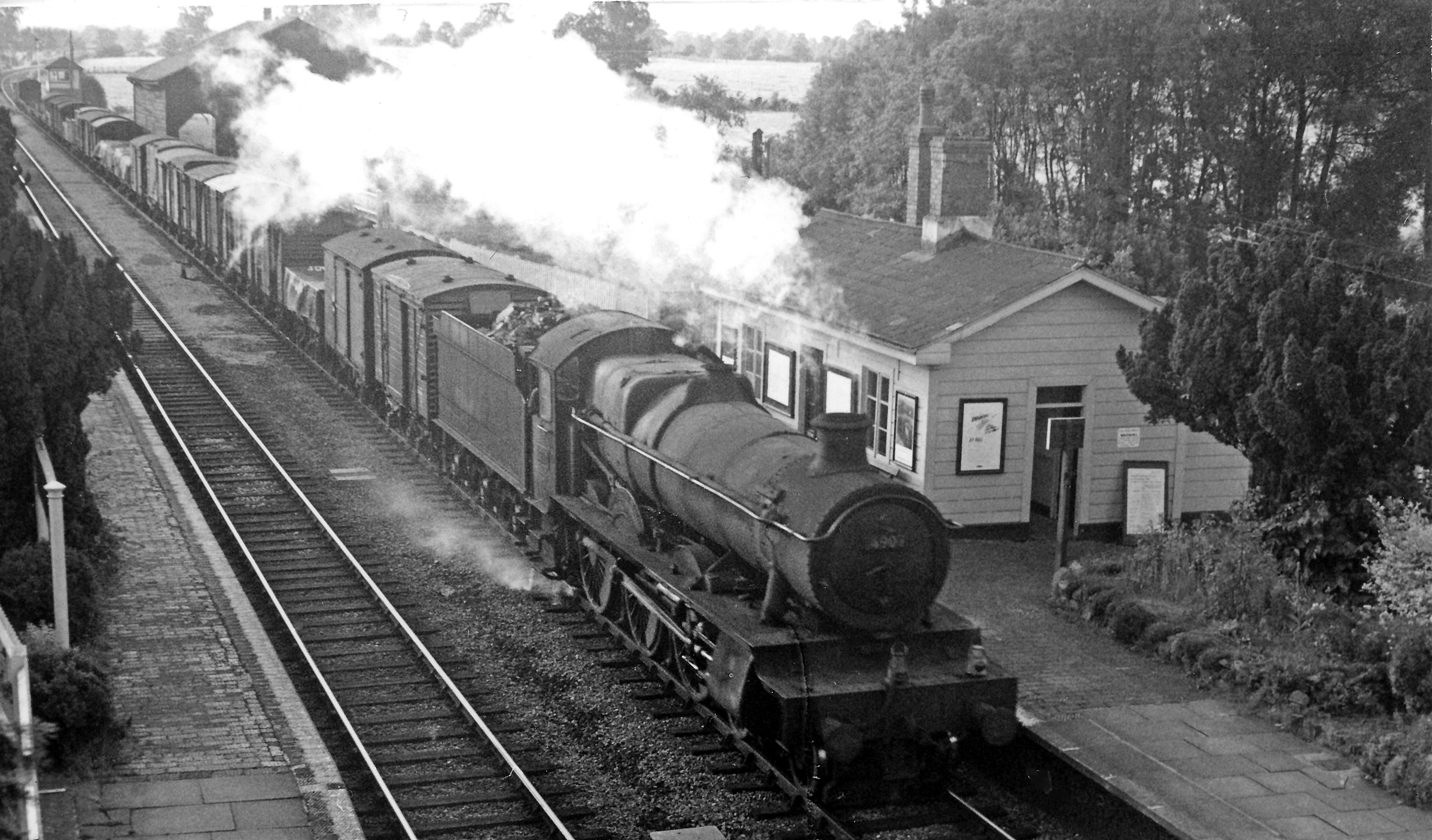
Adlestrop railway station
Adlestrop railway station was a railway station which served the village of Adlestrop in Gloucestershire, England, between 1853 and 1966. It was on what...

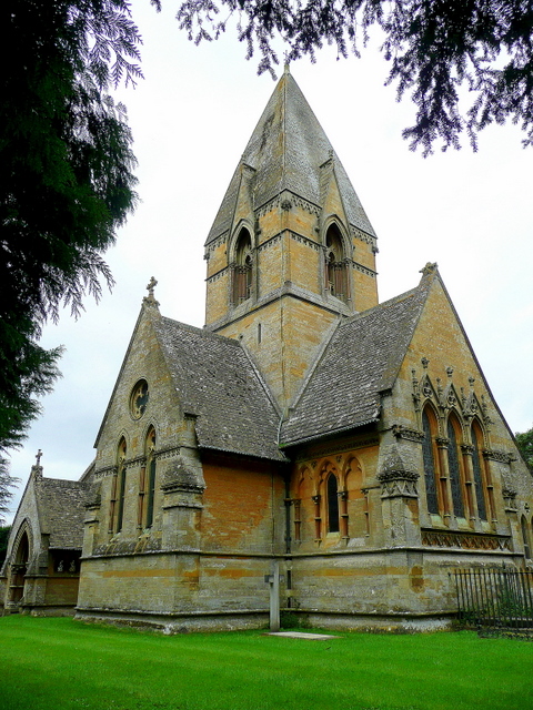
Church of St Leonard, Bledington
The Anglican Church of St Leonard at Bledington in the Cotswold District of Gloucestershire, England, was built in 12th century. It is a grade I listed...

Daylesford House
Daylesford House is a Georgian country house near Daylesford, Gloucestershire, England, on the north bank of the River Evenlode near the border with Oxfordshire...

Kingham railway station
Kingham railway station in Oxfordshire, England, is between the Oxfordshire village of Kingham and the Gloucestershire village of Bledington, to which...

Foscot, Oxfordshire
Foscot is a hamlet in the Cotswolds in the Evenlode valley. It falls within Idbury civil parish, in the West Oxfordshire District, about 5 miles (8.0 km...
Nearby Amenities
Located within 500m of 51.919494,-1.6499162Have you been to Bledington Heath?
Leave your review of Bledington Heath below (or comments, questions and feedback).