Hastoe
Settlement in Hertfordshire Dacorum
England
Hastoe
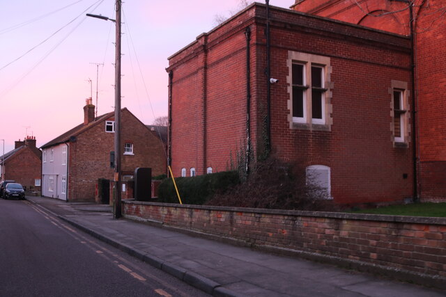
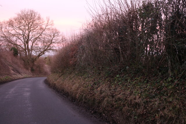
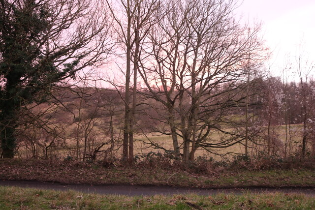
Hastoe is a small village located in the county of Hertfordshire, England. Situated approximately three miles southeast of the town of Tring, Hastoe is a part of the civil parish of Tring Rural. The village is surrounded by picturesque countryside, offering stunning views and a tranquil atmosphere.
Hastoe is known for its charming thatched cottages and traditional English architecture. The village has a close-knit community, with a population of around 200 people. The history of Hastoe dates back centuries, and the village still retains much of its historic character.
Although small in size, Hastoe offers a range of amenities and facilities for its residents. These include a village hall, which serves as a social hub for various community activities and events. There are also several footpaths and bridleways that allow locals and visitors to explore the beautiful countryside surrounding the village.
For those seeking recreational activities, Hastoe is well-positioned to access the nearby town of Tring, which offers a wider range of amenities including shops, restaurants, and leisure facilities. The village is also within close proximity to the Chiltern Hills, an Area of Outstanding Natural Beauty, which provides opportunities for hiking, cycling, and enjoying the great outdoors.
Overall, Hastoe offers a peaceful and idyllic setting for those looking to escape the hustle and bustle of city life. With its rich history, beautiful landscapes, and sense of community, Hastoe is a charming village that embraces the traditional English countryside lifestyle.
If you have any feedback on the listing, please let us know in the comments section below.
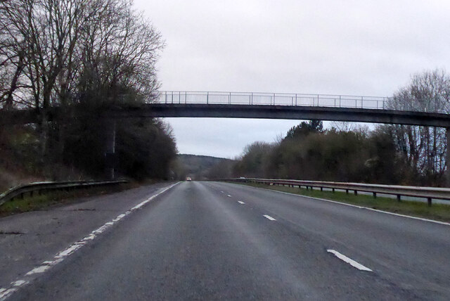
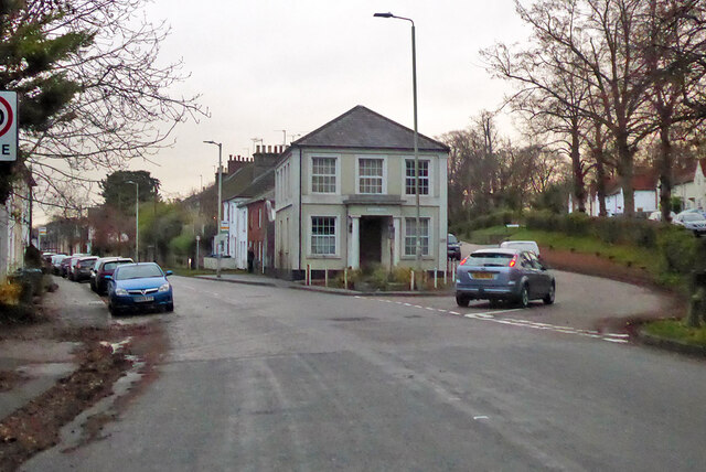
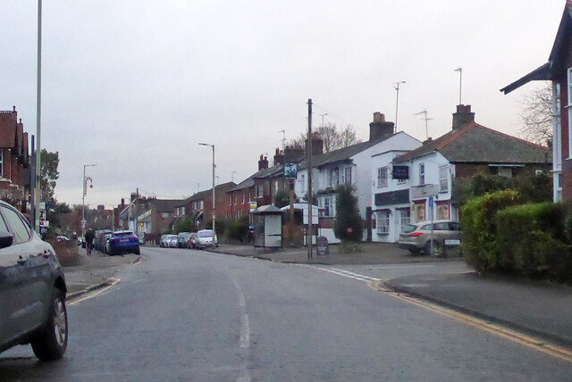
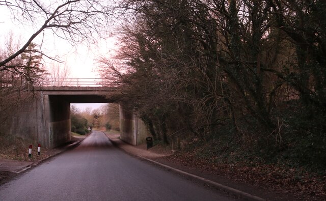
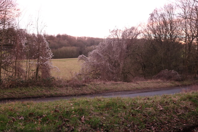
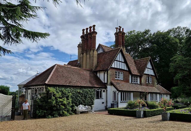
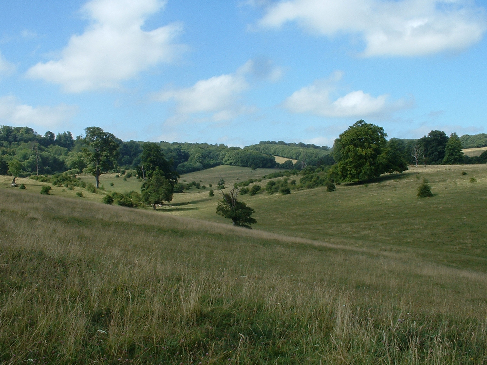
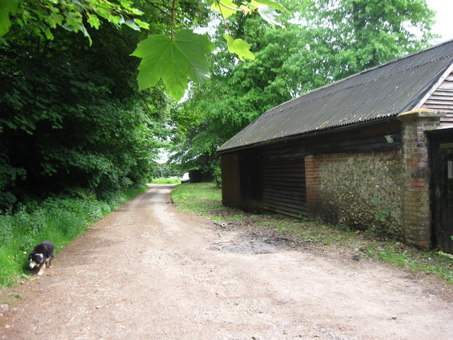
Hastoe Images
Images are sourced within 2km of 51.775255/-0.670847 or Grid Reference SP9109. Thanks to Geograph Open Source API. All images are credited.


Hastoe is located at Grid Ref: SP9109 (Lat: 51.775255, Lng: -0.670847)
Administrative County: Hertfordshire
District: Dacorum
Police Authority: Hertfordshire
What 3 Words
///eyelashes.belong.circle. Near Tring, Hertfordshire
Nearby Locations
Related Wikis

Hastoe
Hastoe (Halstowe or Halstoe in the 13th century) is a hamlet in the civil parish of Tring. It is located in the Chiltern Hills, 1.7m south of the town...

Tring Woodlands
Tring Woodlands is a 23.8-hectare (59-acre) biological Site of Special Scientific Interest in Tring in Hertfordshire. It is part of the Chilterns Area...

Pavis Wood
Pavis Wood is an area of woodland on a hill located near Hastoe in Tring, north-western Hertfordshire, England. A point on its eastern slopes is the highest...

Dancersend Waterworks
Dancersend Waterworks is a 4-hectare biological Site of Special Scientific Interest in Spencersgreen south of Aston Clinton in Buckinghamshire. It was...
Tring Park
Tring Park is a public open space in Tring, owned by Dacorum Borough Council and managed by the Woodland Trust. It is part of the Chilterns Area of Outstanding...

Dancersend
Dancersend is an 81.3-hectare (201-acre) Site of Special Scientific Interest (SSSI) south of Aston Clinton in Buckinghamshire. Part of the site is managed...

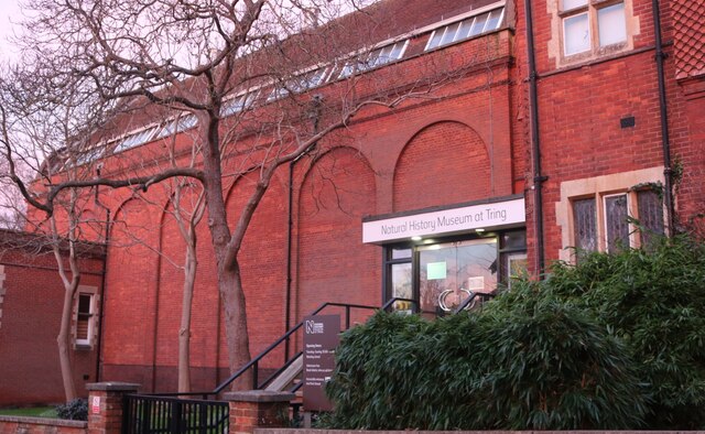
Natural History Museum at Tring
The Natural History Museum at Tring was the private museum of Lionel Walter, 2nd Baron Rothschild; today it is under the control of the Natural History...
Chivery
Chivery is a hamlet located in the Chiltern Hills in the present-day parish of Aston Clinton, in Aylesbury Vale District in the county of Buckinghamshire...
Nearby Amenities
Located within 500m of 51.775255,-0.670847Have you been to Hastoe?
Leave your review of Hastoe below (or comments, questions and feedback).