Lumley Moor

Downs, Moorland in Yorkshire Harrogate

England

Lumley Moor

High Grantley, North Yorkshire
High Grantley, North Yorkshire Credit: Ian S

Lumley Moor is a picturesque area located in Yorkshire, England. Situated in the district of County Durham, it is known for its stunning landscape, which combines rolling downs and expansive moorland. Covering an area of approximately 10 square kilometers, Lumley Moor is a haven for nature enthusiasts and outdoor adventurers.

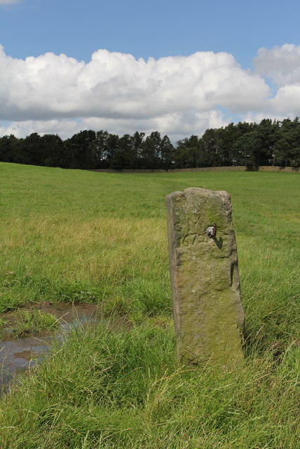
The moorland consists of vast stretches of heather, grasses, and shrubs, creating a vibrant and colorful panorama, especially during the summer months when the heather is in full bloom. This provides a habitat for a diverse range of wildlife, including birds such as curlews, lapwings, and skylarks. Visitors can enjoy birdwatching or simply appreciate the tranquility of the moorland.

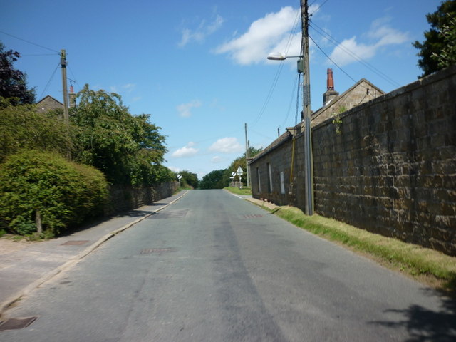
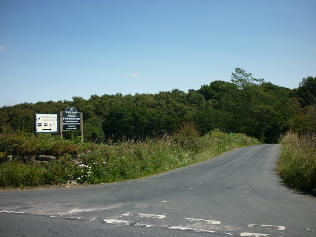
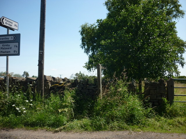
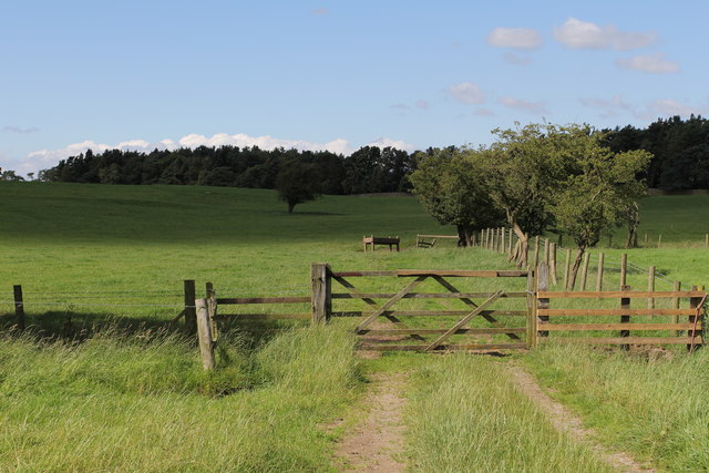
Lumley Moor is also home to several walking trails, allowing visitors to explore the area and take in the breathtaking views. These trails cater to different abilities, ranging from leisurely strolls to more challenging hikes. The moorland is crisscrossed with dry stone walls, adding to the charm and character of the landscape.

Located nearby is the historic Lumley Castle, a 14th-century fortress that has been converted into a luxury hotel. The castle offers visitors the opportunity to experience a taste of medieval life, with its grand architecture and elegant interiors.

Overall, Lumley Moor is a captivating destination, offering a combination of natural beauty, outdoor activities, and historical attractions. Whether it's a leisurely walk or an immersive stay at Lumley Castle, visitors to this idyllic Yorkshire location are sure to be enchanted by its charm and beauty.

If you have any feedback on the listing, please let us know in the comments section below.
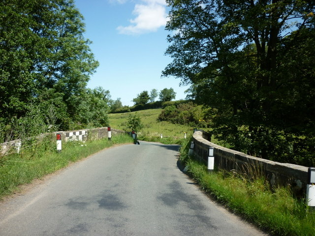
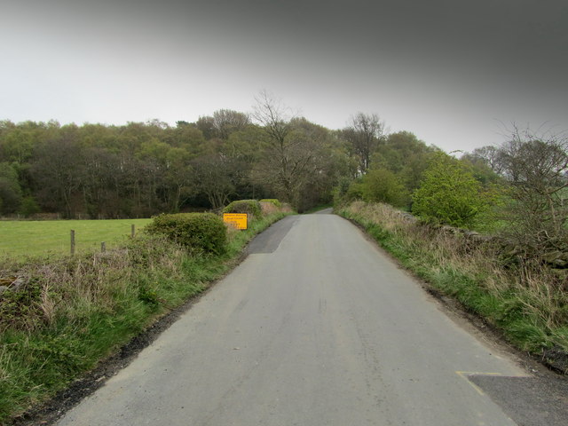
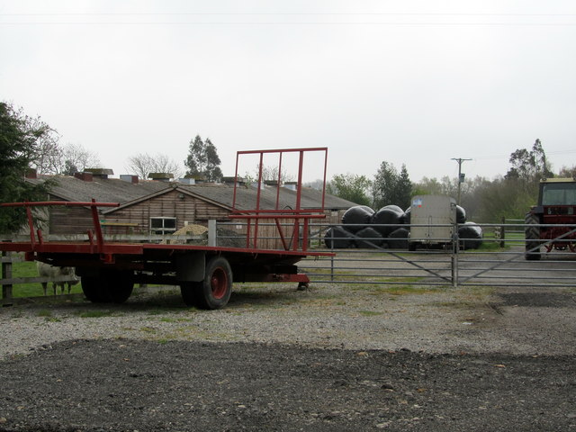
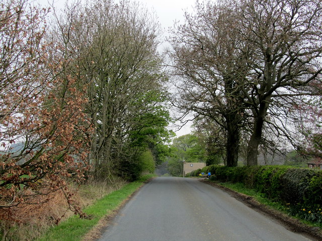
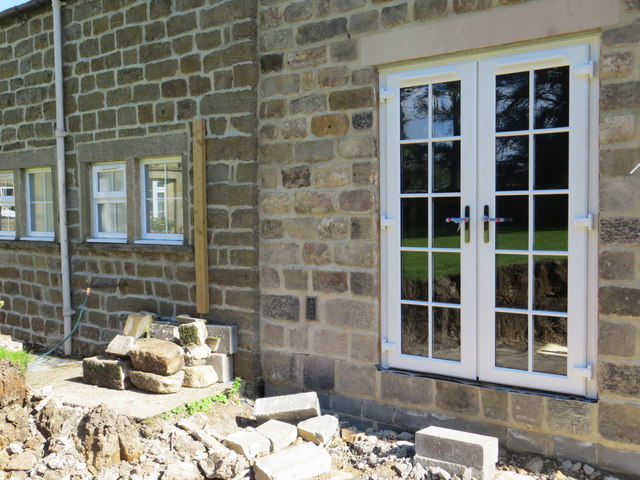
Lumley Moor Images

Images are sourced within 2km of 54.135607/-1.654225 or Grid Reference SE2271. Thanks to Geograph Open Source API. All images are credited.

High Grantley, North Yorkshire
The way to Woodhouse Farm Caravan Park
A footpath towards Woodhouse Farm
Five Gates Farm
Five Gates Farm
A bridge over the River Laver
Drift Lane Walled track leading towards the Drovers Inn, Dallowgill now adopted by the Ripon Rowell Walk.
Drift Lane
Walled track leading towards the Drovers Inn, Dallowgill now adopted by the Ripon Rowell Walk.
Road on Skelding Moor Narrow moorland road crossing Skelding Moor - the gorse already starting to flower despite still in the month of January.
Road on Skelding Moor
Narrow moorland road crossing Skelding Moor - the gorse already starting to flower despite still in the month of January.
Road over Skelding Moor to Harper Hill Narrow road from Low Grantley to Harper Hill
Road over Skelding Moor to Harper Hill
Narrow road from Low Grantley to Harper Hill
Skelding Moor Moorland landscape near Grantley
Skelding Moor
Moorland landscape near Grantley
Temporarily Closed Road to Winksley The lane leading from Gate Bridge Road to Winksley is closed, causing a diversion of around an extra mile - fortunately this is only temporary.
Temporarily Closed Road to Winksley
The lane leading from Gate Bridge Road to Winksley is closed, causing a diversion of around an extra mile - fortunately this is only temporary.
Entrance to Five Gates Farm Entrance as seen from Gate Bridge Road.
Entrance to Five Gates Farm
Entrance as seen from Gate Bridge Road.
Gate Bridge Road On the road between Grantley and Kirkby Malzeard.
Gate Bridge Road
On the road between Grantley and Kirkby Malzeard.
Old Gatepost. inscribed with the letters GM and numbers 1672. <a href="https://www.geograph.org.uk/photo/3056118">SE2270 : Old Gatepost (detail).</a>
Old Gatepost.
inscribed with the letters GM and numbers 1672. SE2270 : Old Gatepost (detail).
Old Gatepost (detail). <a href="https://www.geograph.org.uk/photo/3056115">SE2270 : Old Gatepost.</a>
Old Gatepost (detail).
Footpath from Redmires towards Lumley Moor.
Ordnance Survey Flush Bracket 11573 This re-sited Bracket can be found on the wall of a newly extended building at The Moorhouse - formerly the Drovers Inn.
For more detail see : <span class="nowrap"><a title="http://www.bench-marks.org.uk/bm22378" rel="nofollow ugc noopener" href="http://www.bench-marks.org.uk/bm22378">Link</a><img style="margin-left:2px;" alt="External link" title="External link - shift click to open in new window" src="https://s1.geograph.org.uk/img/external.png" width="10" height="10"/></span>
Ordnance Survey Flush Bracket 11573
This re-sited Bracket can be found on the wall of a newly extended building at The Moorhouse - formerly the Drovers Inn. For more detail see : LinkExternal link
The original location of the now re-sited Ordnance Survey Flush Bracket 11573 The wall of the former Drovers Inn.
For more detail see : <span class="nowrap"><a title="http://www.bench-marks.org.uk/bm22378" rel="nofollow ugc noopener" href="http://www.bench-marks.org.uk/bm22378">Link</a><img style="margin-left:2px;" alt="External link" title="External link - shift click to open in new window" src="https://s1.geograph.org.uk/img/external.png" width="10" height="10"/></span>
The original location of the now re-sited Ordnance Survey Flush Bracket 11573
The wall of the former Drovers Inn. For more detail see : LinkExternal link
New Building at the former Drovers Inn The re-position Ordnance Survey Flush Bracket 11573 is visible on the new wall.
For more detail see : <span class="nowrap"><a title="http://www.bench-marks.org.uk/bm22378" rel="nofollow ugc noopener" href="http://www.bench-marks.org.uk/bm22378">Link</a><img style="margin-left:2px;" alt="External link" title="External link - shift click to open in new window" src="https://s1.geograph.org.uk/img/external.png" width="10" height="10"/></span>
New Building at the former Drovers Inn
The re-position Ordnance Survey Flush Bracket 11573 is visible on the new wall. For more detail see : LinkExternal link
Show me another place!

Lumley Moor is located at Grid Ref: SE2271 (Lat: 54.135607, Lng: -1.654225)

Division: West Riding

Administrative County: North Yorkshire

District: Harrogate

Police Authority: North Yorkshire

What 3 Words

///vaulting.dominate.student. Near Ripon, North Yorkshire

Related Wikis

Grantley, North Yorkshire

Grantley is a village (also known as High Grantley) and civil parish in North Yorkshire, England. It lies 5 miles (8 km) west of Ripon. The parish also...

Laverton, North Yorkshire

Laverton is a village and civil parish in the Harrogate district of North Yorkshire, England, about 7 miles (11 km) west of Ripon. The population of this...

Grantley Hall

Grantley Hall is an English country house located in North Yorkshire, England. It is situated near Grantley, about 5 miles (8 km) to the west of Ripon...

Winksley

Winksley is a small village and civil parish in the district of Harrogate, North Yorkshire, England. It is situated west of Ripon, and is on the River...

Nearby Amenities

Located within 500m of 54.135607,-1.654225
Place: farm
Lat/Long: 54.1332168/-1.6525253
Building: yes
Lat/Long: 54.1351905/-1.6486737
The data included in this document is from www.openstreetmap.org. The data is made available under ODbL.

Have you been to Lumley Moor?

Leave your review of Lumley Moor below (or comments, questions and feedback).