Eyam Moor

Downs, Moorland in Derbyshire Derbyshire Dales

England

Eyam Moor

Hazelford Hall above The Hope Valley
Hazelford Hall above The Hope Valley Credit: Neil Theasby

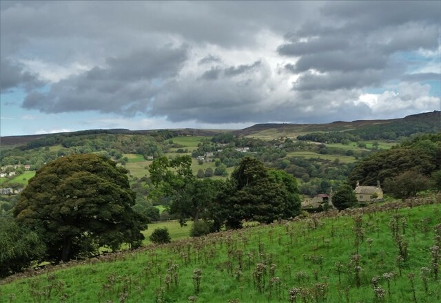
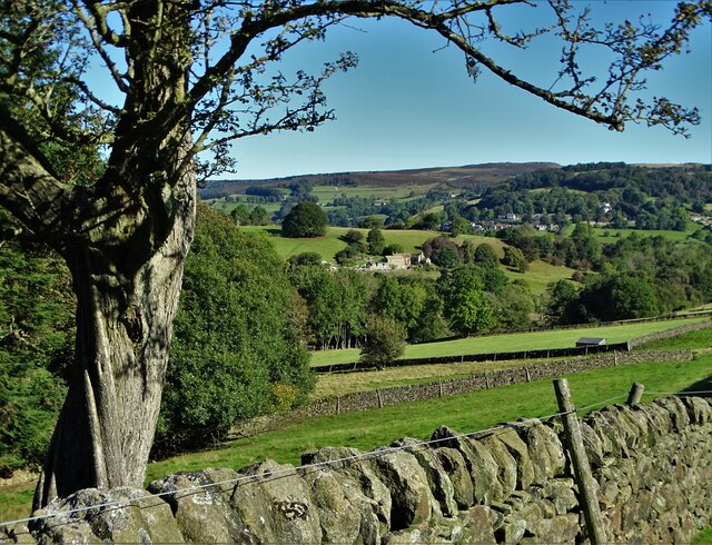
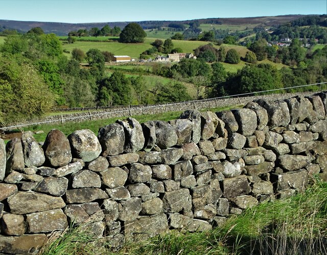
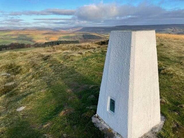
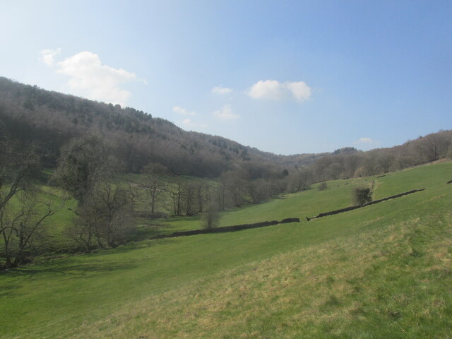
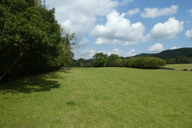
Eyam Moor is a vast expanse of moorland located in Derbyshire, England. Situated in the Peak District National Park, it spans an area of approximately 8 square kilometers and sits at an elevation of around 380 meters above sea level. The moorland is bordered by the villages of Eyam, Foolow, Grindleford, and Stoney Middleton.

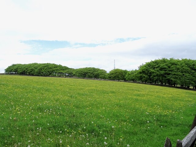
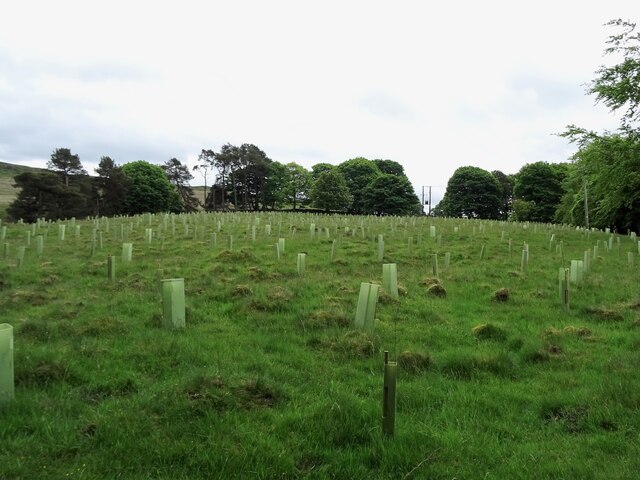
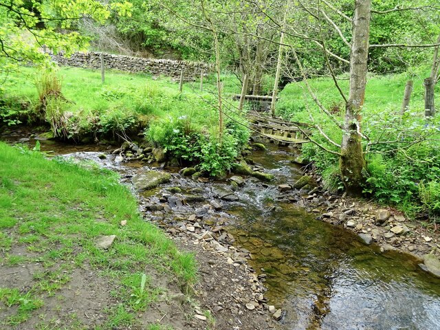
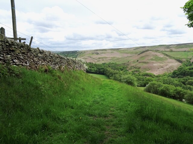
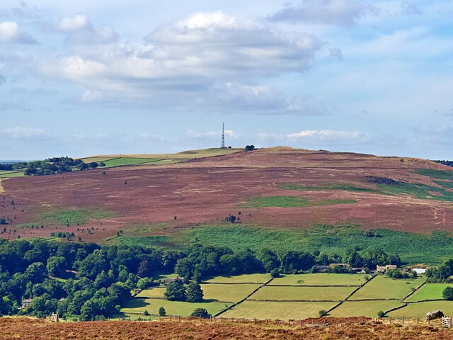
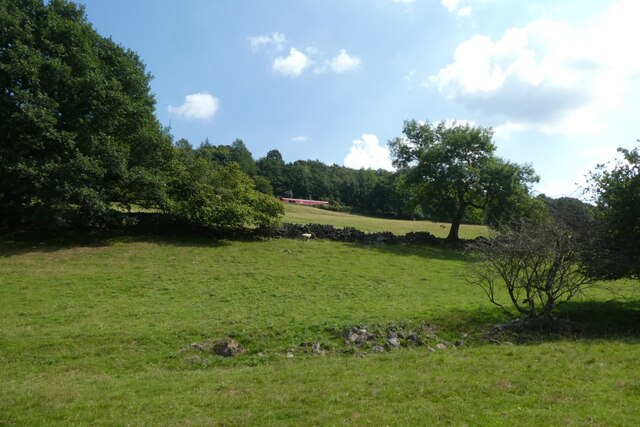
Eyam Moor is characterized by its rugged and undulating terrain, consisting of heather-covered hills, rocky outcrops, and peat bogs. The landscape offers breathtaking panoramic views of the surrounding countryside, including the nearby Hope Valley and the distant Peak District hills.

The moorland is home to a diverse range of flora and fauna. The heather-clad slopes provide habitat for numerous bird species, including red grouse, skylarks, and curlews. The area is also known for its abundant wildflowers, such as cotton grass, bilberry, and harebell.

Eyam Moor has a rich historical significance. It is believed to have been used for farming and grazing since prehistoric times, with evidence of ancient field systems and burial mounds. Additionally, the moorland played a pivotal role in the history of the nearby village of Eyam during the outbreak of the bubonic plague in 1665. The villagers voluntarily quarantined themselves to prevent the spread of the disease, resulting in significant loss of life. Today, the moorland serves as a memorial to the courage and sacrifice of the Eyam community.

Eyam Moor attracts visitors who enjoy hiking, wildlife spotting, and exploring the historical landmarks that dot the area. The moorland offers a tranquil and unspoiled natural environment, allowing visitors to connect with nature and experience the beauty of the Peak District.

If you have any feedback on the listing, please let us know in the comments section below.
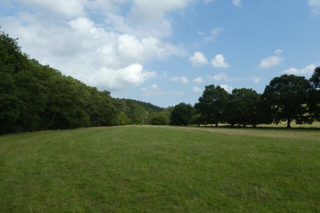
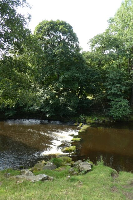
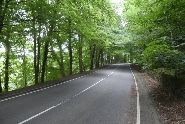
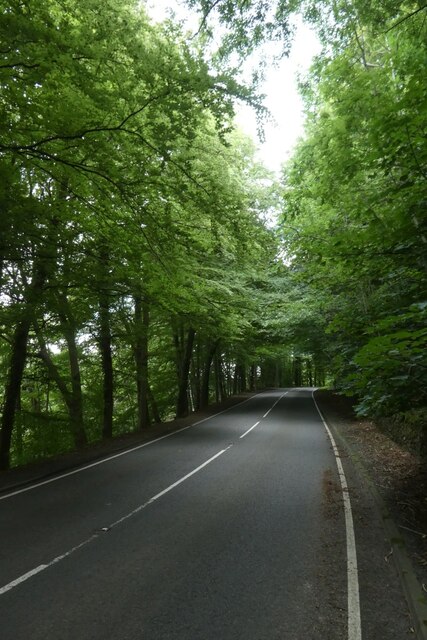
Eyam Moor Images

Images are sourced within 2km of 53.30562/-1.6648783 or Grid Reference SK2278. Thanks to Geograph Open Source API. All images are credited.

Hazelford Hall above The Hope Valley
View to Broadhay from Highlow Wood Broadhay is the farm you can see in the centre of this photograph with Hathersage beyond
View to Broadhay from Highlow Wood
Broadhay is the farm you can see in the centre of this photograph with Hathersage beyond
Drystone wall  with view to Broadhay
Drystone wall with view to Broadhay
Sir William Hill trig
Mag  Clough Quiet, secluded side valley.
Mag Clough
Quiet, secluded side valley.
Highfield Belt Highfield Belt is a narrow belt of woodland which has been here since at least 1842, when the Ordnance Survey First Series map was surveyed. It partially encircles the remains of Broadlow Lead Mine.
Highfield Belt
Highfield Belt is a narrow belt of woodland which has been here since at least 1842, when the Ordnance Survey First Series map was surveyed. It partially encircles the remains of Broadlow Lead Mine.
Replanting Big Moor Plantation Until recently, "Big Moor Plantation" was a meaningless label for a largely empty field. This has now been rectified with the planting of new saplings.
Replanting Big Moor Plantation
Until recently, "Big Moor Plantation" was a meaningless label for a largely empty field. This has now been rectified with the planting of new saplings.
Confluence of two brooks Just below the bridges at Stoke Ford, Bretton Brook merges with the stream in Abney Clough and becomes Highlow Brook.
Confluence of two brooks
Just below the bridges at Stoke Ford, Bretton Brook merges with the stream in Abney Clough and becomes Highlow Brook.
Track below Oaks Farm
View from Hathersage Moor Looking south west to a heather-clad Eyam Moor and Sir William Hill
View from Hathersage Moor
Looking south west to a heather-clad Eyam Moor and Sir William Hill
Fields beside the River Derwent Looking across a field of sheep pasture with the River Derwent to the left.
Fields beside the River Derwent
Looking across a field of sheep pasture with the River Derwent to the left.
River Derwent west of Grindleford Looking across the River Derwent from a footpath between Leadmill and Grindleford.
River Derwent west of Grindleford
Looking across the River Derwent from a footpath between Leadmill and Grindleford.
Path beside the River Derwent The river runs on the left with the footpath following the course to Leadmill Bridge.
Path beside the River Derwent
The river runs on the left with the footpath following the course to Leadmill Bridge.
Towards the railway A DB class 66 hauls a train towards Grindleford on the Hope Valley Line.
Towards the railway
A DB class 66 hauls a train towards Grindleford on the Hope Valley Line.
Track in Sherriff Wood The road is the B6001. On the left a track runs into the woods.
Track in Sherriff Wood
The road is the B6001. On the left a track runs into the woods.
B6001 in Fallcliff Wood Looking along the road between Grindleford and Hathersage.
B6001 in Fallcliff Wood
Looking along the road between Grindleford and Hathersage.
B6001 towards Grindleford Looking along the road between Hathersage and Grindleford as it passes through Fallcliff Wood.
B6001 towards Grindleford
Looking along the road between Hathersage and Grindleford as it passes through Fallcliff Wood.
Hathersage to Grindleford Road Looking along the B6001 in Fallcliff Wood.
Hathersage to Grindleford Road
Looking along the B6001 in Fallcliff Wood.
Show me another place!

Eyam Moor is located at Grid Ref: SK2278 (Lat: 53.30562, Lng: -1.6648783)

Administrative County: Derbyshire

District: Derbyshire Dales

Police Authority: Derbyshire

What 3 Words

///illogical.acting.laces. Near Hathersage, Derbyshire

Nearby Locations

Eyam Moor

Related Wikis

Wet Withens

Wet Withens is a Bronze Age henge on Eyam Moor in the Derbyshire Peak District, England. The prehistoric circle of 10 upright stones (orthostats) is a...

Eyam Moor

Eyam Moor is a plateau-topped hill between the villages of Eyam and Hathersage in Derbyshire, in the Peak District of England. The summit of Sir William...

Highlow

Highlow is a civil parish within the Derbyshire Dales district, in the county of Derbyshire, England. Largely rural, Highlow's population is reported with...

Bretton Brook

Bretton Brook is a stream flowing through Bretton in the Derbyshire Peak District. The stream is a tributary of the Highlow Brook, which is a direct...

Nearby Amenities

Located within 500m of 53.30562,-1.6648783
Wet Withens
Alt Name: Eyam Moor I Stone Circle
Archaeological Site: megalith
Historic: archaeological_site
Megalith Type: stone_circle
Lat/Long: 53.3074405/-1.6631184
Eyam Moor
Place: locality
Source: OS_OpenData_StreetView
Lat/Long: 53.3032619/-1.6628876
The data included in this document is from www.openstreetmap.org. The data is made available under ODbL.

Have you been to Eyam Moor?

Leave your review of Eyam Moor below (or comments, questions and feedback).