Trools Field
Downs, Moorland in Shetland
Scotland
Trools Field
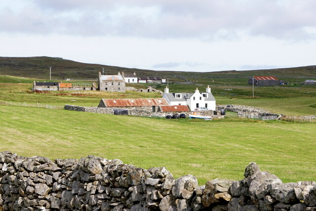
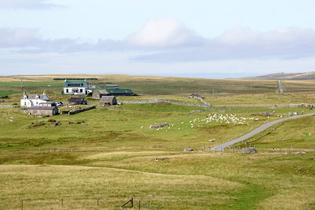
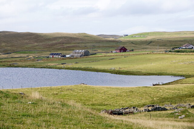
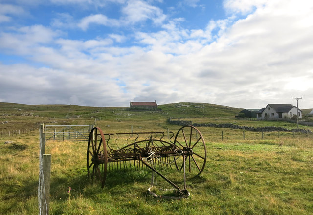
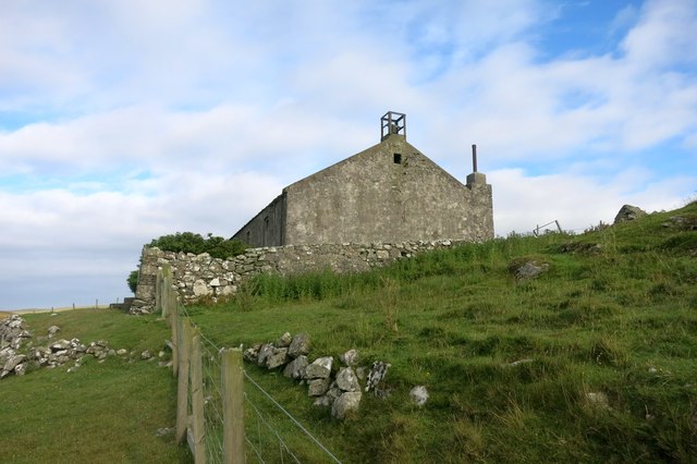
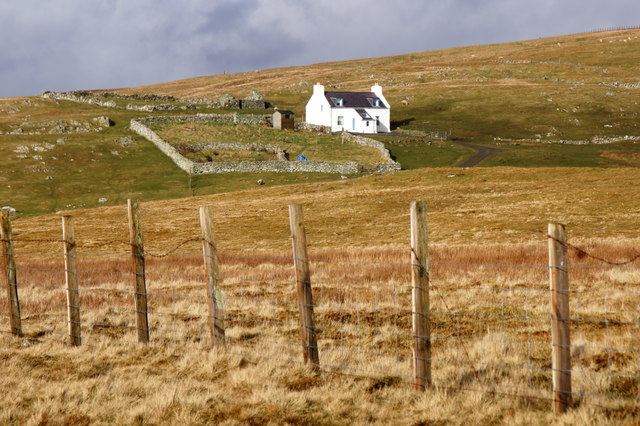
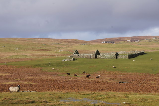
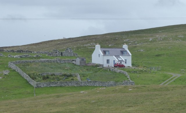
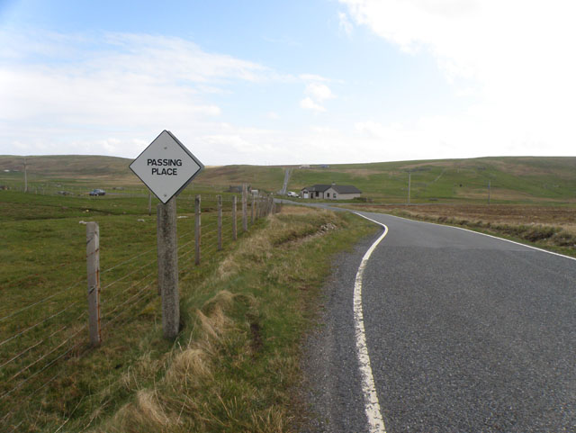
Trools Field, located in the Shetland Islands, is a captivating expanse of downs and moorland that offers a unique and breathtaking experience for nature enthusiasts. Stretching across vast open landscapes, Trools Field provides a picturesque setting with its rolling hills, rich vegetation, and a diverse range of wildlife.
The downs, characterized by gently sloping grassy areas, are a sight to behold, especially during the summer months when they transform into a carpet of vibrant wildflowers, including heather and buttercups. Walking through these downs allows visitors to immerse themselves in the tranquility of the surroundings, enjoying the stunning panoramic views of the Shetland countryside.
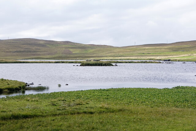
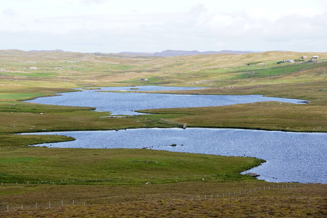
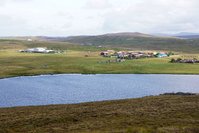
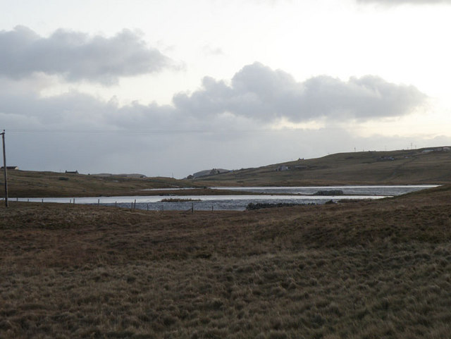
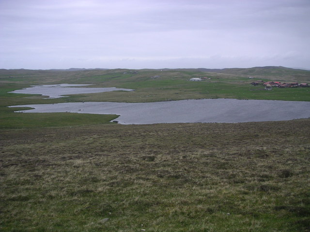
The moorland, on the other hand, presents a different landscape altogether. Dominated by heath and peat, it offers a rugged and untamed beauty. Moorland birds, such as red-throated divers and golden plovers, can often be spotted in the area, adding to the allure of this unique habitat. The moorland also boasts several lochs and streams, which not only enhance the visual appeal of the landscape but also provide a haven for various species of waterfowl.
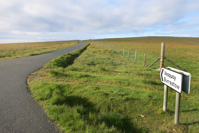
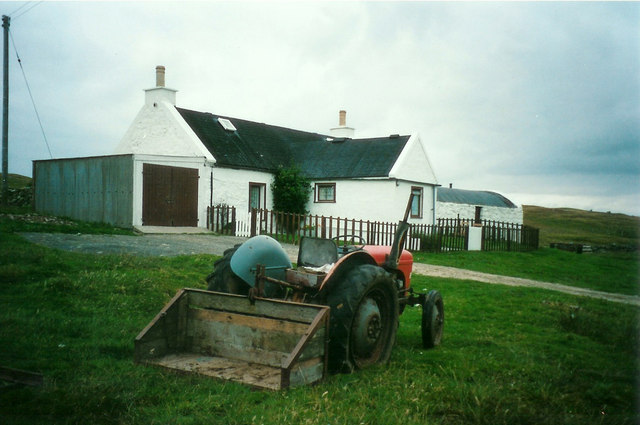
Trools Field is a haven for outdoor activities such as hiking, birdwatching, and photography. Numerous walking trails crisscross the downs and moorland, allowing visitors to explore the diverse terrain at their own pace. The field is also home to a variety of wildlife, including otters, rabbits, and Shetland ponies, making it an ideal destination for nature enthusiasts and animal lovers alike.
Overall, Trools Field in Shetland offers a captivating blend of downs and moorland, providing a truly immersive experience in the heart of nature. Its stunning landscapes, diverse wildlife, and peaceful atmosphere make it a must-visit destination for anyone seeking a genuine connection with the natural world.
If you have any feedback on the listing, please let us know in the comments section below.
Trools Field Images
Images are sourced within 2km of 60.24339/-1.5971073 or Grid Reference HU2251. Thanks to Geograph Open Source API. All images are credited.
Trools Field is located at Grid Ref: HU2251 (Lat: 60.24339, Lng: -1.5971073)
Unitary Authority: Shetland Islands
Police Authority: Highlands and Islands
What 3 Words
///redeemed.users.renamed. Near Walls, Shetland Islands
Nearby Locations
Related Wikis

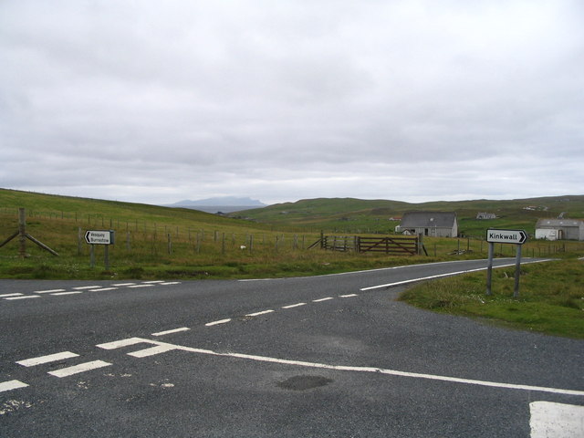
Walls, Shetland
Walls, known locally as Waas (Old Norse: Vagar = "Sheltered Bays" (voes) - the Ordnance Survey added the "ll" as they thought it was a corruption of "walls...

Scord of Brouster
The Scord of Brouster is one of the earliest Neolithic farm sites in Shetland, Scotland. It has been dated to 2220 BC with a time window of 80 years on...

Burrastow
Burrastow is a location on the west shore of Vaila Sound near the village of Walls on the Shetland Mainland, Scotland. There are two small piers and the...

Linga, Vaila Sound
Linga is one of the Shetland Islands, near Vaila and Walls on Mainland, Shetland. Its highest elevation is 28 metres (91 ft). In 2014 and 2018 it was...
Have you been to Trools Field?
Leave your review of Trools Field below (or comments, questions and feedback).