Brancepeth Park
Downs, Moorland in Durham
England
Brancepeth Park
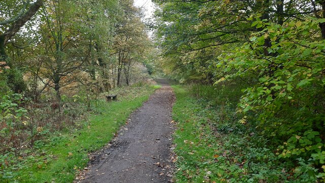
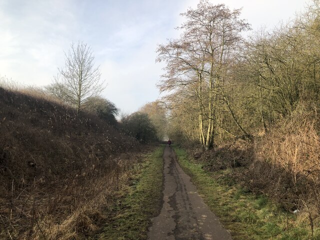
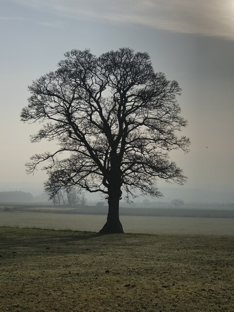
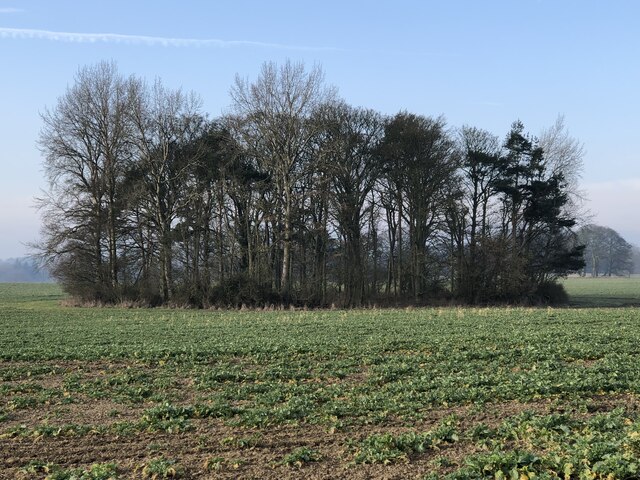
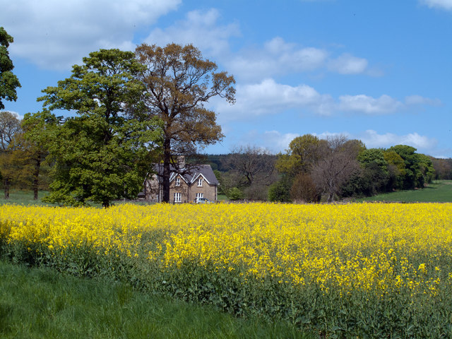
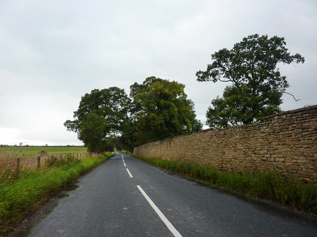
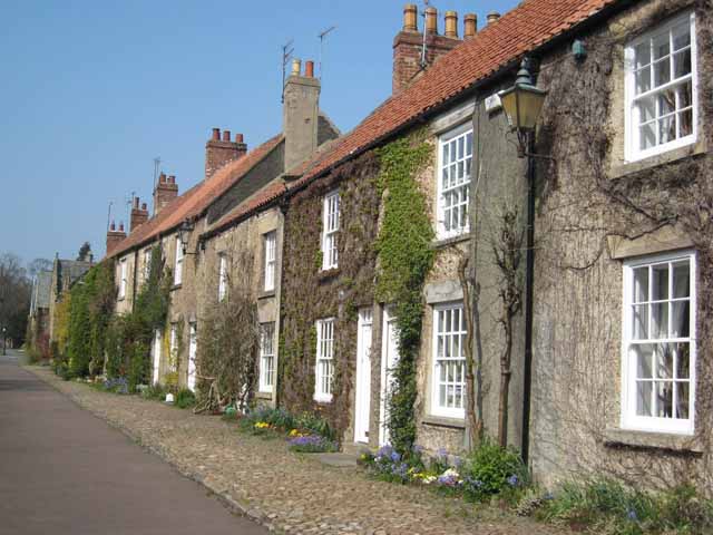
Brancepeth Park is a sprawling green space located in Durham, England. Covering an area of approximately 70 hectares, the park is a mix of downs, moorland, and open grassland, making it a popular destination for outdoor enthusiasts and nature lovers.
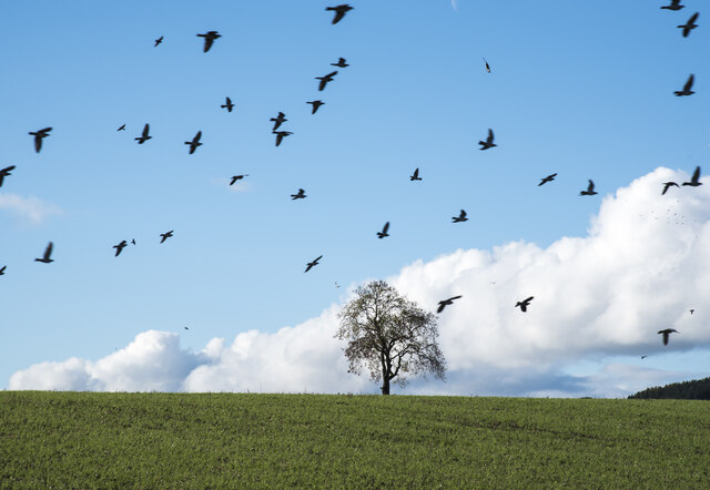
The park is home to a variety of wildlife, including birds, insects, and small mammals, making it a haven for nature enthusiasts looking to observe and appreciate the local flora and fauna. Visitors can also enjoy stunning views of the surrounding countryside, with the park offering panoramic vistas of the rolling hills and valleys of Durham.
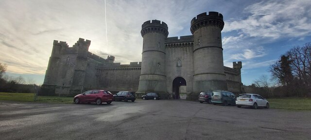
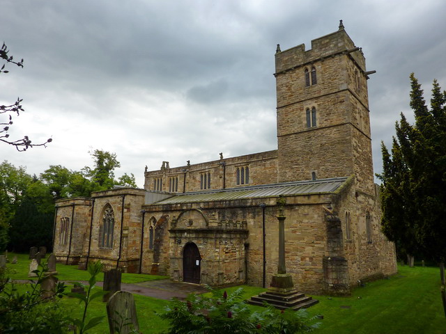
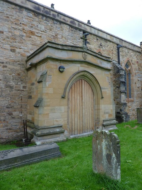
In addition to its natural beauty, Brancepeth Park also boasts a number of recreational facilities, including walking and cycling paths, picnic areas, and children's play areas. The park is also home to a number of historic landmarks, including Brancepeth Castle, a medieval fortress that dates back to the 14th century.
Overall, Brancepeth Park offers visitors a peaceful and tranquil escape from the hustle and bustle of city life, making it a must-visit destination for anyone looking to reconnect with nature and enjoy the great outdoors.
If you have any feedback on the listing, please let us know in the comments section below.
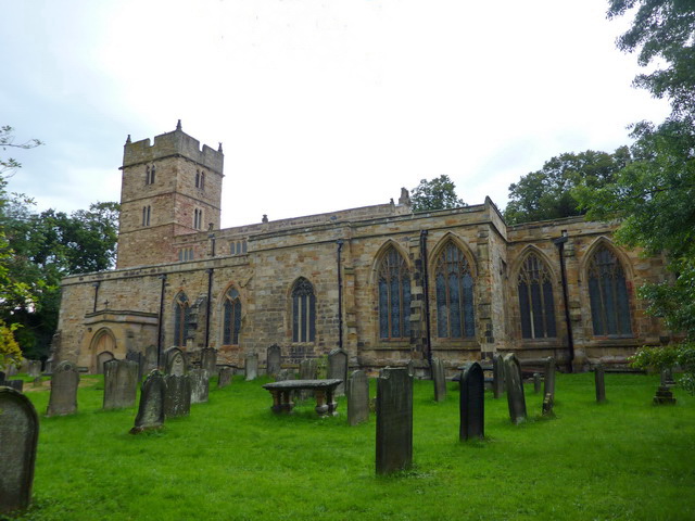
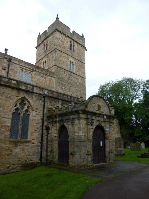
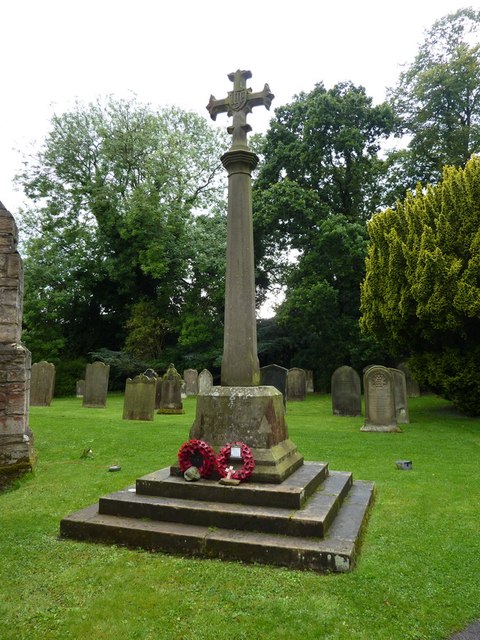
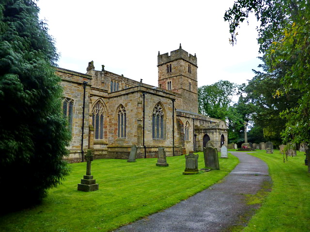
Brancepeth Park Images
Images are sourced within 2km of 54.734715/-1.6555293 or Grid Reference NZ2237. Thanks to Geograph Open Source API. All images are credited.


Brancepeth Park is located at Grid Ref: NZ2237 (Lat: 54.734715, Lng: -1.6555293)
Unitary Authority: County Durham
Police Authority: Durham
What 3 Words
///detonated.officers.mixes. Near Brandon, Co. Durham
Nearby Locations
Related Wikis

Brancepeth Castle
Brancepeth Castle is a castle in the village of Brancepeth in County Durham, England, some 5 miles south-west of the city of Durham (grid reference NZ223377...
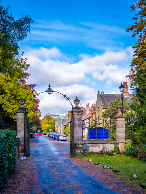
Brancepeth
Brancepeth is a village and civil parish in County Durham, in England. It is situated about 8 km (5 mi) from Durham on the A690 road between Durham and...
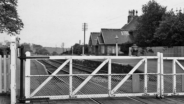
Brancepeth railway station
Brancepeth railway station served the village of Brancepeth, County Durham, North East England from 1857 to 1964 on the Durham to Bishop Auckland Line...

Oakenshaw, County Durham
Oakenshaw is a village in County Durham, in England. It is situated to the north of Willington. In the 2001 census Oakenshaw had a population of 470.The...
Nearby Amenities
Located within 500m of 54.734715,-1.6555293Have you been to Brancepeth Park?
Leave your review of Brancepeth Park below (or comments, questions and feedback).