Hassingham

Settlement in Norfolk Broadland

England

Hassingham

Road verge with Danish Scurvy-grass Salt-tolerant plant that is a feature of many road verges in spring. Cochlearia danica is a member of the cabbage family rather than a grass <span class="nowrap"><a title="https://www.plantlife.org.uk/uk/discover-wild-plants-nature/plant-fungi-species/danish-scurvy-grass" rel="nofollow ugc noopener" href="https://www.plantlife.org.uk/uk/discover-wild-plants-nature/plant-fungi-species/danish-scurvy-grass">Link</a><img style="margin-left:2px;" alt="External link" title="External link - shift click to open in new window" src="https://s1.geograph.org.uk/img/external.png" width="10" height="10"/></span>
Road verge with Danish Scurvy-grass Credit: Jeremy Halls

Hassingham is a small village located in the county of Norfolk, England. Situated approximately 12 miles northeast of the city of Norwich, it falls within the South Norfolk district. With a population of around 200 residents, Hassingham offers a peaceful and close-knit community atmosphere.

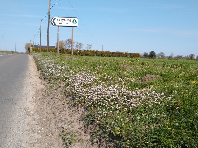
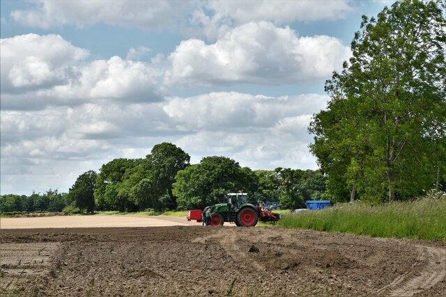
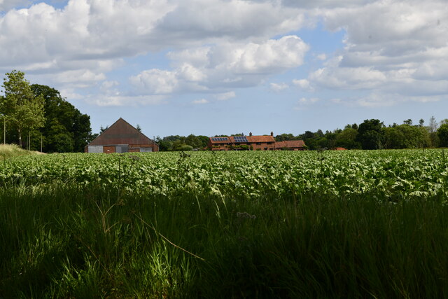
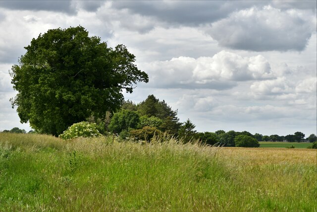
The village is known for its picturesque rural surroundings, characterized by rolling fields and charming countryside views. The area is primarily agricultural, with farming playing a significant role in the local economy. Hassingham is surrounded by several other small villages, including Blofield Heath, Hemblington, and Beighton.

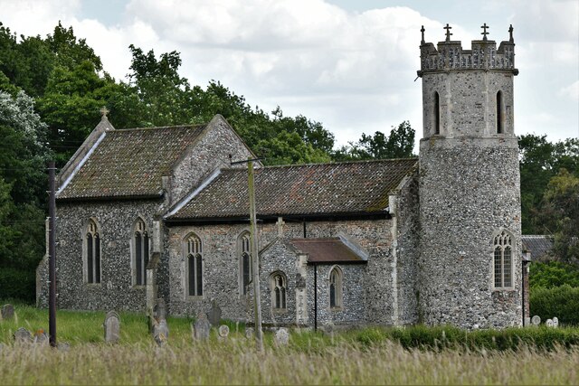
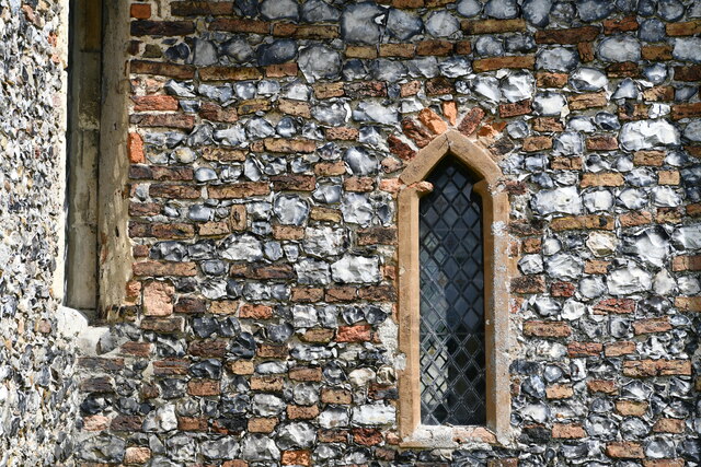
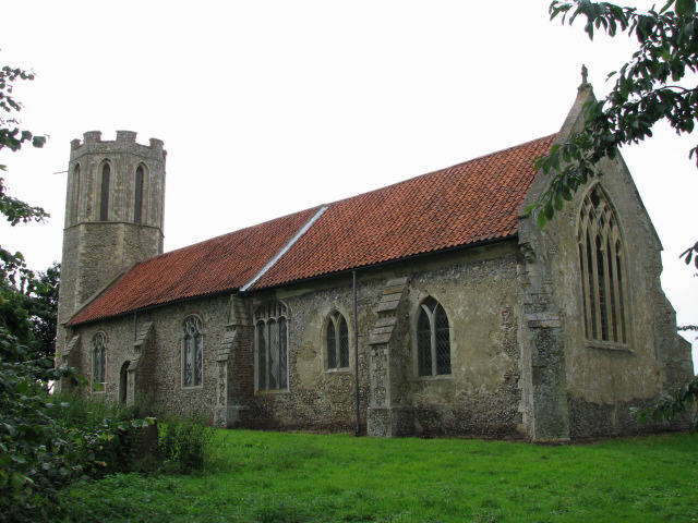
One of the notable landmarks in Hassingham is the St. Mary the Virgin Church, dating back to the 13th century. This historic church features beautiful stained glass windows and a tranquil churchyard, providing a place for both religious worship and quiet reflection.

While Hassingham itself may be small, its proximity to Norwich offers residents easy access to a wider range of amenities and services. The city provides a wealth of entertainment, shopping, and cultural opportunities, as well as excellent transportation links.

Overall, Hassingham presents a charming and idyllic rural setting, perfect for those seeking a peaceful and close community while still being within reach of larger towns and cities.

If you have any feedback on the listing, please let us know in the comments section below.
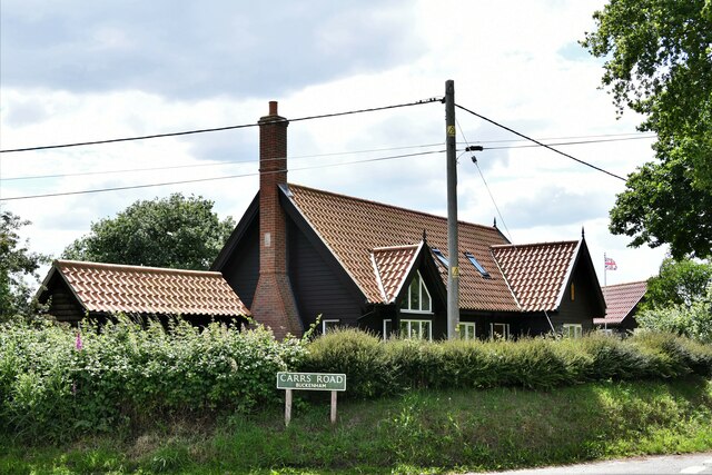
Hassingham Images

Images are sourced within 2km of 52.59668/1.498958 or Grid Reference TG3705. Thanks to Geograph Open Source API. All images are credited.

Road verge with Danish Scurvy-grass Salt-tolerant plant that is a feature of many road verges in spring. Cochlearia danica is a member of the cabbage family rather than a grass <span class="nowrap"><a title="https://www.plantlife.org.uk/uk/discover-wild-plants-nature/plant-fungi-species/danish-scurvy-grass" rel="nofollow ugc noopener" href="https://www.plantlife.org.uk/uk/discover-wild-plants-nature/plant-fungi-species/danish-scurvy-grass">Link</a><img style="margin-left:2px;" alt="External link" title="External link - shift click to open in new window" src="https://s1.geograph.org.uk/img/external.png" width="10" height="10"/></span>
Road verge with Danish Scurvy-grass
Salt-tolerant plant that is a feature of many road verges in spring. Cochlearia danica is a member of the cabbage family rather than a grass LinkExternal link
Buckenham: Harrowing the soil
Buckenham Railway Station: Level crossing
Buckenham Railway Station: Station House
Buckenham Railway Station
Buckenham Railway Station: Track
Buckenham Railway Station: Information Board
Buckenham Railway Station: Large detached house
Buckenham: Looking towards houses and farm buildings in Church Road
Buckenham: The Old School
Buckenham: Property on the corner of School Road and Carrs Road
Hassingham: Private woodland
Hassingham: St. Mary's Church
South Burlingham: A small wooded area
Hassingham: Roadside poppies
Hassingham, St. Mary's Church: The tower
Hassingham, St. Mary's Church: Western face of the south porch
Show me another place!

Hassingham is located at Grid Ref: TG3705 (Lat: 52.59668, Lng: 1.498958)

Administrative County: Norfolk

District: Broadland

Police Authority: Norfolk

What 3 Words

///alienated.scooters.masts. Near Lingwood, Norfolk

Related Wikis

Hassingham

Hassingham is a village in the civil parish of Strumpshaw, in the Broadland district, in the county of Norfolk, England, about ten miles east of Norwich...

Moulton St Mary

Moulton St Mary is a village and former civil parish, now in the parish of Beighton, in the Broadland district, in the county of Norfolk, England. It is...

Buckenham

Buckenham is a small village in the civil parish of Strumpshaw, in the Broadland district, in the county of Norfolk, England, situated on the northern...

St Nicholas Church, Buckenham

St Nicholas Church is a redundant Anglican church in the village of Buckenham, Norfolk, England. It is recorded in the National Heritage List for England...

Nearby Amenities

Located within 500m of 52.59668,1.498958
Hassingham
Place: village
Wikidata: Q9286715
Lat/Long: 52.5954361/1.4958073
Power: pole
Lat/Long: 52.5951138/1.5020847
Power: pole
Lat/Long: 52.5999875/1.499786
Power: pole
Lat/Long: 52.5985164/1.5009796
Power: pole
Lat/Long: 52.5973906/1.501331
Inscription: ABSD Pole 62 / Strumpshaw
Material: wood
Power: pole
Ref: 529886
Lat/Long: 52.5962542/1.5017279
Power: pole
Lat/Long: 52.5939268/1.5025057
Power: pole
Lat/Long: 52.5984796/1.4998242
Power: pole
Lat/Long: 52.5983688/1.4967665
Power: pole
Lat/Long: 52.5984454/1.4986628
Power: pole
Lat/Long: 52.5984063/1.4973821
Power: pole
Lat/Long: 52.597683/1.4965305
Power: pole
Lat/Long: 52.5970133/1.4963682
Power: pole
Lat/Long: 52.5965962/1.4962663
Location Transition: yes
Power: pole
Transformer: distribution
Lat/Long: 52.5955283/1.4960396
Power: pole
Lat/Long: 52.5959991/1.4961576
Entrance: main
Lat/Long: 52.5956938/1.4964226
Give Way
Lat/Long: 52.5965253/1.4967065
Give Way
Lat/Long: 52.5965401/1.4965424
Give Way
Lat/Long: 52.596516/1.4965378
Give Way
Lat/Long: 52.5965237/1.4964445
Power: pole
Lat/Long: 52.5983053/1.4953597
Power: pole
Lat/Long: 52.5982548/1.4940548
Power: pole
Lat/Long: 52.5981912/1.4928424
Information: guidepost
Tourism: information
Lat/Long: 52.5965539/1.4966042
The data included in this document is from www.openstreetmap.org. The data is made available under ODbL.

Have you been to Hassingham?

Leave your review of Hassingham below (or comments, questions and feedback).