Bratley Plain
Downs, Moorland in Hampshire New Forest
England
Bratley Plain
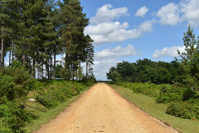
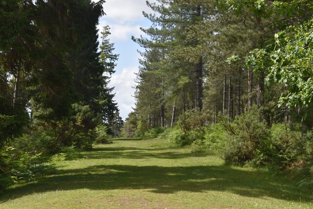
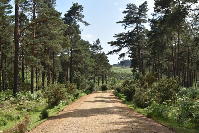
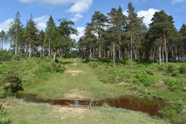
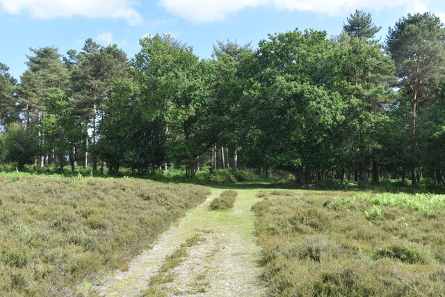
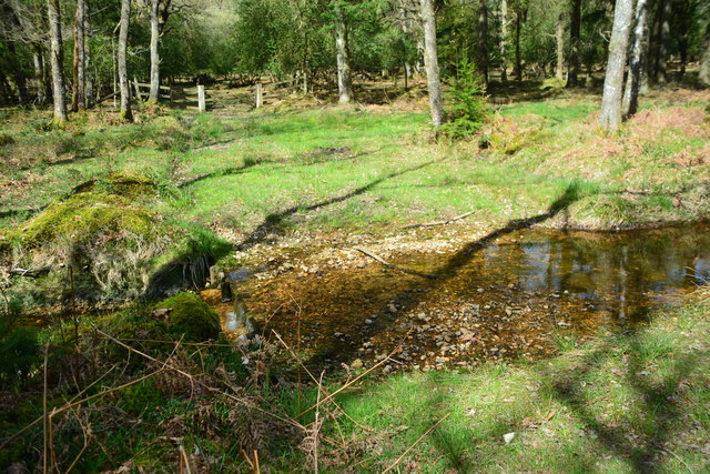
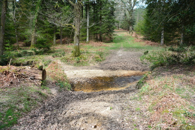
Bratley Plain is a picturesque area located in the county of Hampshire, England. Nestled within the magnificent New Forest National Park, it is renowned for its breathtaking beauty and diverse natural landscapes. This expanse of land encompasses both downs and moorland, offering visitors a rich and varied experience.
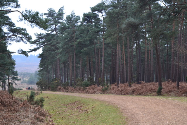
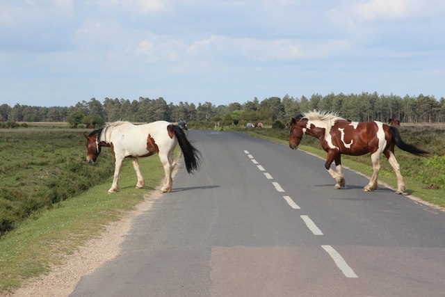
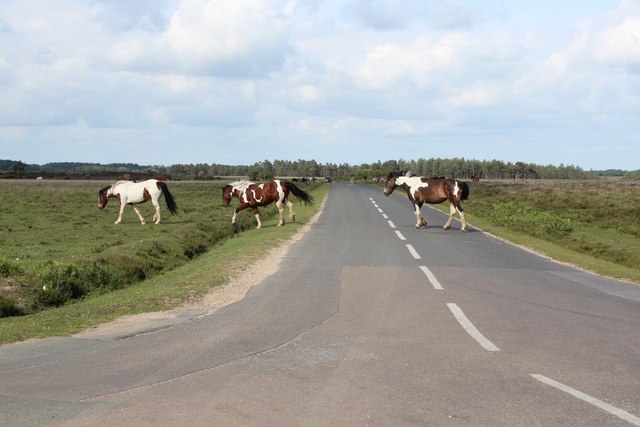
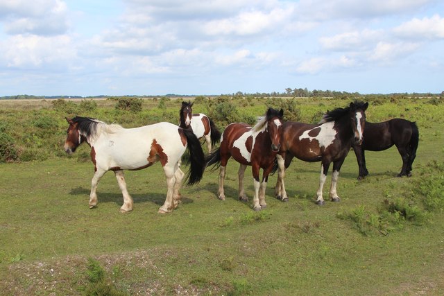
The downs of Bratley Plain are characterized by rolling hills covered in lush green grass and scattered with vibrant wildflowers. Walking along the paths that wind through this area, visitors can enjoy stunning panoramic views of the surrounding countryside. The downs are also home to various species of wildlife, including grazing ponies and deer, creating a harmonious coexistence with nature.
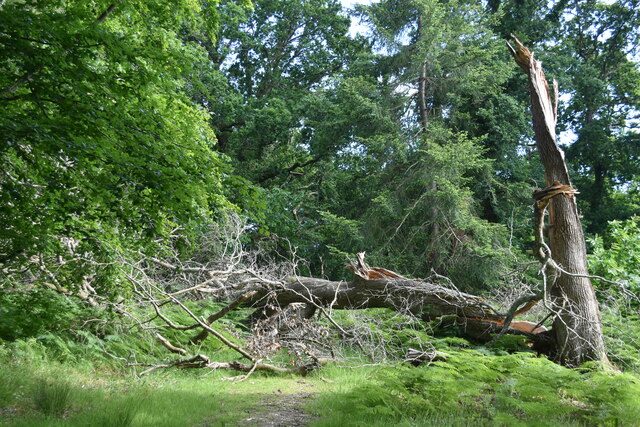
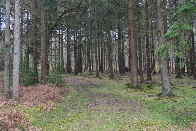
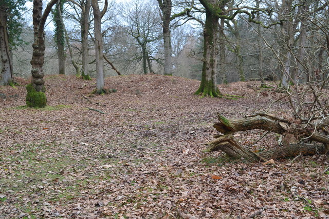
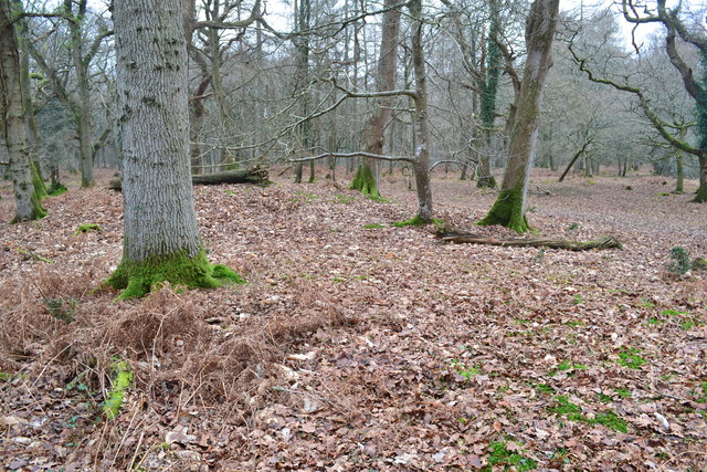
In contrast, the moorland of Bratley Plain showcases a different side of the area's natural beauty. Heather-covered hills and vast expanses of open land create a rugged and untamed atmosphere. The moorland is dotted with gorse bushes and scattered with ancient oak trees, adding to its enchanting appeal. This area is particularly popular among hikers and nature enthusiasts, who can explore the numerous trails and admire the unique flora and fauna.
Bratley Plain is a haven for outdoor activities such as hiking, picnicking, and wildlife spotting. The peaceful ambiance and untouched beauty of this area make it an ideal destination for those seeking an escape from the bustle of city life. Whether visiting the downs or the moorland, Bratley Plain offers a true taste of Hampshire's natural wonders.
If you have any feedback on the listing, please let us know in the comments section below.
Bratley Plain Images
Images are sourced within 2km of 50.875566/-1.6994615 or Grid Reference SU2108. Thanks to Geograph Open Source API. All images are credited.


Bratley Plain is located at Grid Ref: SU2108 (Lat: 50.875566, Lng: -1.6994615)
Administrative County: Hampshire
District: New Forest
Police Authority: Hampshire
What 3 Words
///mega.wasp.book. Near Burley, Hampshire
Nearby Locations
Related Wikis

Linwood, Hampshire
Linwood is a hamlet in the New Forest National Park of Hampshire, England. Its nearest town is Ringwood, which lies approximately 4.2 miles (5.9 km) south...

Picket Post
Picket Post is a road junction and service area in the New Forest National Park of Hampshire, England. It lies on the A31 road. == Facilities == Picket...

Linford, Hampshire
Linford is a hamlet in the New Forest district of Hampshire, England, close to the market town of Ringwood. It is about 1.5 miles east of Ringwood. It...
Shobley
Shobley is a small hamlet in the New Forest National Park of Hampshire, England. Its nearest town is Ringwood, which lies approximately 1.8 miles (2.9...

Ocknell Plain
Ocknell Plain can be found in the New Forest near Southampton, England. The area was used in World War II for the Stoney Cross airfield and it is now very...
Highwood, Hampshire
Highwood is a hamlet in the New Forest National Park of Hampshire, England. According to the Post Office the population of the hamlet at the 2011 Census...
Picket Hill
Picket Hill is a hamlet next to Picket Post in the New Forest National Park of Hampshire, England. It lies on the outskirts of Ringwood.

Bolderwood, Hampshire
Bolderwood is an area of the New Forest in Hampshire. Bolderwood hosts a deer sanctuary with a public deer observation platform. As a result, the public...
Nearby Amenities
Located within 500m of 50.875566,-1.6994615Have you been to Bratley Plain?
Leave your review of Bratley Plain below (or comments, questions and feedback).