Gratton Moor

Downs, Moorland in Derbyshire Derbyshire Dales

England

Gratton Moor

Junction A5012
Junction A5012 Credit: Chris Gunns

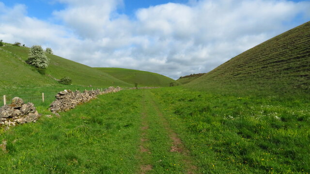
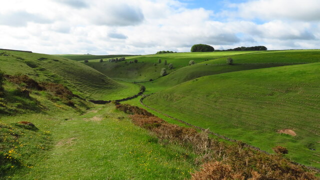
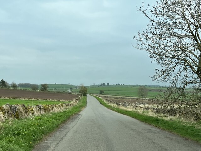
Gratton Moor is a picturesque area located in Derbyshire, England. Nestled within the Peak District National Park, it spans across an expansive landscape of downs and moorland. The moor covers an area of approximately 7 square kilometers and is situated at an elevation of around 500 meters above sea level.

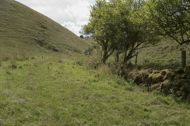
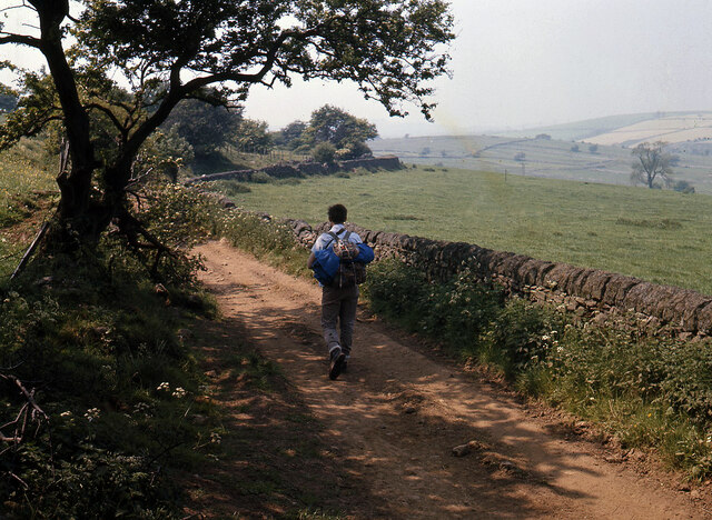
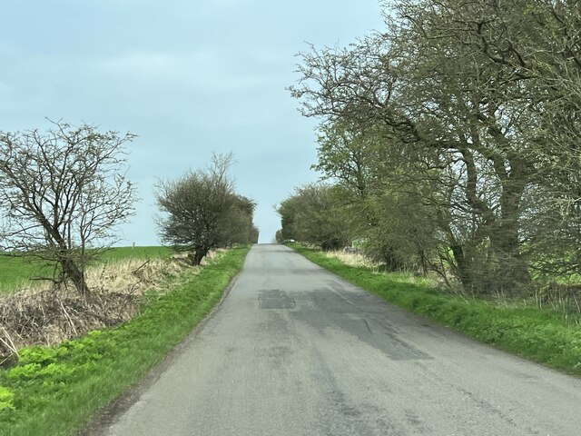
The terrain of Gratton Moor is characterized by rolling hills, vast open spaces, and heather-covered moorland. The area is renowned for its natural beauty and is a popular destination for nature enthusiasts, hikers, and wildlife lovers. The moorland is home to a variety of bird species, including grouse, curlew, and skylarks, making it an ideal spot for birdwatching.

The landscape of Gratton Moor is dotted with ancient remains and historical landmarks, adding to its cultural significance. One such landmark is the Nine Ladies Stone Circle, a Bronze Age monument consisting of nine upright stones arranged in a circular formation. This site attracts visitors who are intrigued by its mysterious origins and folklore.

In addition to its natural and historical attractions, Gratton Moor offers breathtaking panoramic views of the surrounding countryside, providing visitors with a sense of tranquility and serenity. The area is also crisscrossed by walking paths and trails, allowing visitors to explore its beauty at their own pace.

Overall, Gratton Moor is a captivating destination that combines natural beauty, historical significance, and recreational opportunities. Its unique blend of downs, moorland, and cultural landmarks make it a must-visit location for those seeking an authentic experience in the heart of Derbyshire.

If you have any feedback on the listing, please let us know in the comments section below.
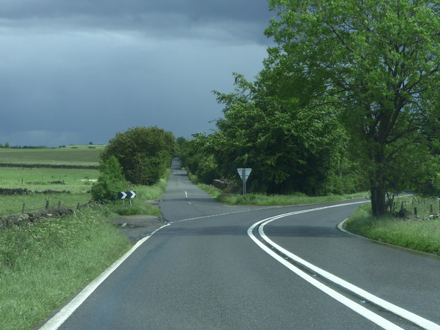
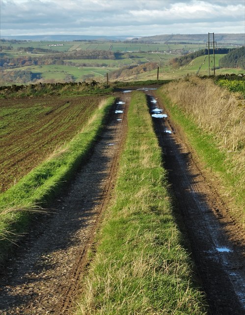
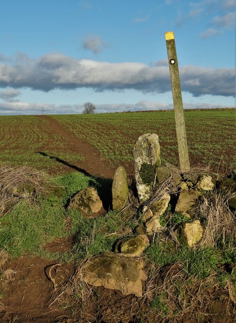
Gratton Moor Images

Images are sourced within 2km of 53.142551/-1.7046733 or Grid Reference SK1960. Thanks to Geograph Open Source API. All images are credited.

Junction A5012
Junction A5012
Gratton Dale north of Mouldridge Grange
Cattle in Long Dale
Cattle in Long Dale
Field barn near Mouldridge Grange
Track on Elton Common
Stile and footpath - Elton Common
Not a place I would choose to cycle Just where Long Dale and Gratton Dale join we were passed by a group of about 15 cyclists. These few have just gone through a very narrow stile and are heading down the dale which in places is very rough and rocky.
Not a place I would choose to cycle
Just where Long Dale and Gratton Dale join we were passed by a group of about 15 cyclists. These few have just gone through a very narrow stile and are heading down the dale which in places is very rough and rocky.
Looking back up Long Dale From the stile we look back along the way we have walked.
Looking back up Long Dale
From the stile we look back along the way we have walked.
Footpath to Elton We chose not to add the extra miles on our walk by going to Elton, but this is the footpath to the village.
Footpath to Elton
We chose not to add the extra miles on our walk by going to Elton, but this is the footpath to the village.
View southwest along Gratton Dale, Pikehall There are old mine workings where the wall along the valley disappears in the distance.
View southwest along Gratton Dale, Pikehall
There are old mine workings where the wall along the valley disappears in the distance.
View west along Long Dale near Pikehall
View southeast along Long Dale near Pikehall
Defaced Milestone, A5012 In the right location indicated on the 1898 maps, with holes looking like it had carried a metal mileage plate. It looks to be serving as the wall end at a gated entrance, but not supporting the gate. Heritage Derbyshire list it see <span class="nowrap"><a title="https://her.derbyshire.gov.uk/Monument/MDR8751" rel="nofollow ugc noopener" href="https://her.derbyshire.gov.uk/Monument/MDR8751">Link</a><img style="margin-left:2px;" alt="External link" title="External link - shift click to open in new window" src="https://s1.geograph.org.uk/img/external.png" width="10" height="10"/></span>

Inscription: -

Milestone Society National ID: DE_NTNH33
Defaced Milestone, A5012
In the right location indicated on the 1898 maps, with holes looking like it had carried a metal mileage plate. It looks to be serving as the wall end at a gated entrance, but not supporting the gate. Heritage Derbyshire list it see LinkExternal link Inscription: - Milestone Society National ID: DE_NTNH33
Hungerhill Lane, Elton Old trackway leading towards Gratton Dale
Hungerhill Lane, Elton
Old trackway leading towards Gratton Dale
On Elton Common An unnamed road.
On Elton Common
An unnamed road.
Towards Winster An unnamed road.
Towards Winster
An unnamed road.
On the A5012 Approaching the junction for Winster.
On the A5012
Approaching the junction for Winster.
Approaching Pikehall On the A5012.
Approaching Pikehall
On the A5012.
Show me another place!

Gratton Moor is located at Grid Ref: SK1960 (Lat: 53.142551, Lng: -1.7046733)

Administrative County: Derbyshire

District: Derbyshire Dales

Police Authority: Derbyshire

What 3 Words

///game.doubts.twirls. Near Newhaven, Derbyshire

Nearby Locations

Long Dale Gratton Moor

Related Wikis

Gratton, Derbyshire

Gratton is a civil parish in the Derbyshire Dales district of central Derbyshire, half a mile west of the neighbouring village, Elton. == See also... ==

Long Dale

Long Dale is a carboniferous limestone valley near the village of Elton, Derbyshire, in the Peak District of England. The dale is cut into the plateau...

Dale End, Derbyshire

Dale End is a hamlet in Derbyshire, England to the west of Elton. == References ==

Pikehall

Pikehall is a small village in the Derbyshire Dales consisting of a few dozen households and a handful of farms. The population of the village is included...

High Peak Trail

The High Peak Trail is a 17-mile (27 km) trail for walkers, cyclists and horse riders in the Peak District of England. Running from Dowlow (53.2059°N 1...

Elton, Derbyshire

Elton is a village and civil parish in the Derbyshire Dales district of Derbyshire, England, and lies within the Peak District. Its nearest towns are Bakewell...

Middleton and Smerrill

Middleton and Smerrill is a civil parish within the Derbyshire Dales district, in the county of Derbyshire, England. Largely rural except for the village...

All Saints' Church, Elton

All Saints’ Church, Elton is a Grade II listed Church of England church in Elton, Derbyshire. == History == Elton was originally one of the chapelries...

Nearby Amenities

Located within 500m of 53.142551,-1.7046733
Power: pole
Lat/Long: 53.1407937/-1.698408
Power: pole
Lat/Long: 53.1409458/-1.6994649
Power: pole
Lat/Long: 53.1410996/-1.7004924
Power: pole
Lat/Long: 53.1412862/-1.7016701
Power: pole
Lat/Long: 53.1414679/-1.7028097
Power: pole
Lat/Long: 53.1416292/-1.7039433
Power: pole
Lat/Long: 53.1417865/-1.7049882
Power: pole
Lat/Long: 53.1419358/-1.7060456
Power: pole
Lat/Long: 53.1421103/-1.7071471
Power: pole
Lat/Long: 53.1422619/-1.7082185
Power: pole
Lat/Long: 53.1424184/-1.7092658
Power: pole
Lat/Long: 53.1425929/-1.7103873
Power: pole
Lat/Long: 53.1427529/-1.7114567
Power: pole
Lat/Long: 53.1433658/-1.7120145
Barrier: cattle_grid
Lat/Long: 53.1438279/-1.7068157
The data included in this document is from www.openstreetmap.org. The data is made available under ODbL.

Have you been to Gratton Moor?

Leave your review of Gratton Moor below (or comments, questions and feedback).