Alderbury Common

Downs, Moorland in Wiltshire

England

Alderbury Common

Grazing and woodland near Waldon Farm
Grazing and woodland near Waldon Farm Credit: JThomas

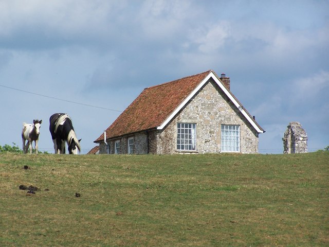
Alderbury Common is a picturesque area located in Wiltshire, England. Covering a vast expanse of land, the common is characterized by its diverse landscape, encompassing both downs and moorland. It is a popular destination for locals and visitors alike, offering a tranquil escape from the hustle and bustle of urban life.

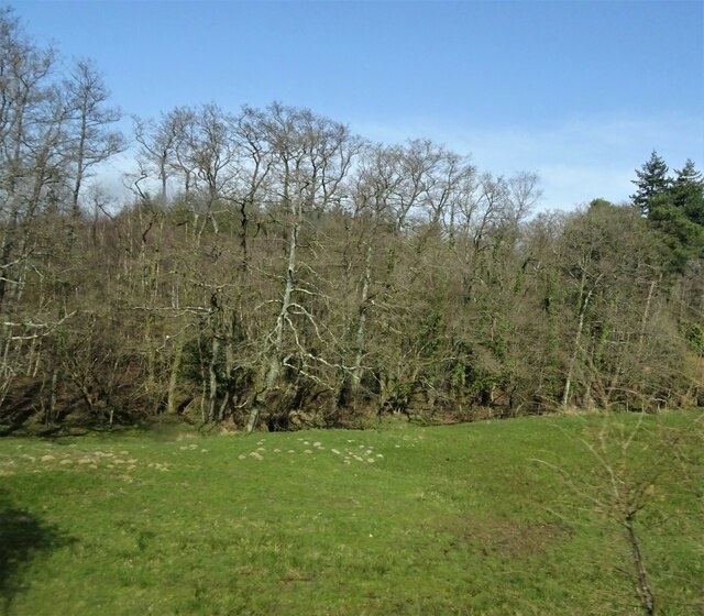
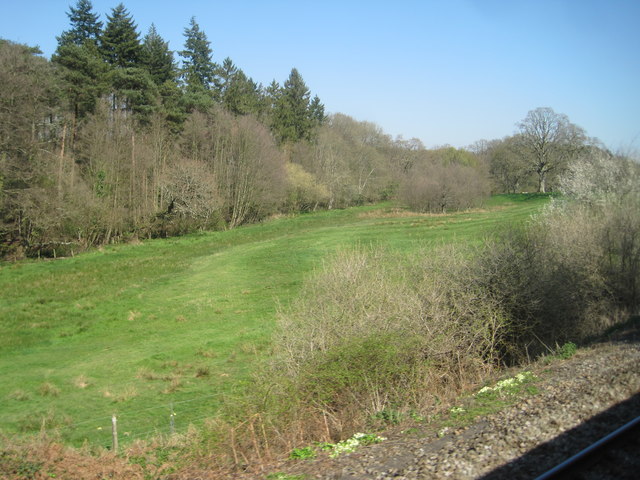
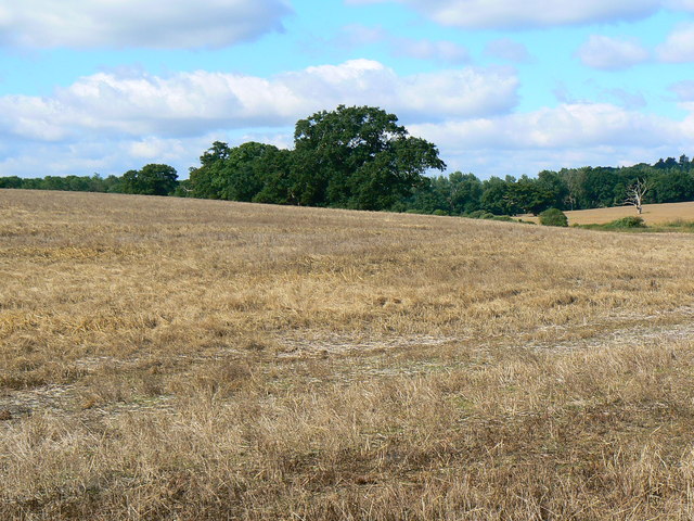
The downs of Alderbury Common are characterized by rolling hills covered in lush green grass. These gentle slopes provide a perfect spot for picnics and leisurely walks, offering breathtaking views of the surrounding countryside. The area is also home to a variety of wildlife, including rabbits, foxes, and numerous bird species, making it an ideal place for nature enthusiasts and birdwatchers.

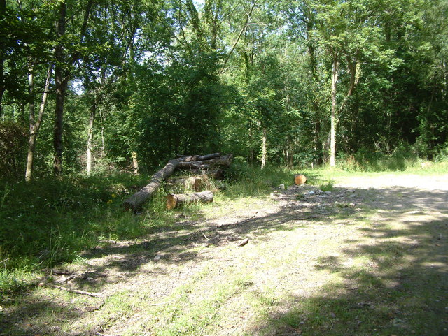
On the other hand, the moorland of Alderbury Common presents a different terrain altogether. Featuring open expanses of heather and grass, it offers a more rugged and wild environment. The moorland is known for its unique plant life, including heather and gorse, which add a splash of vibrant colors to the landscape. It is also home to several species of insects and reptiles, providing a haven for nature lovers who appreciate its biodiversity.

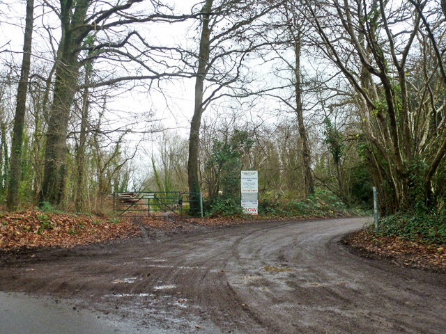
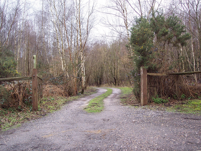
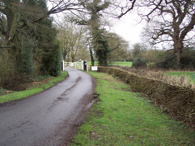
Alderbury Common is well-maintained and offers a range of amenities to visitors. It has designated walking paths and trails, allowing visitors to explore the area easily and safely. Additionally, it is equipped with picnic areas and benches, providing ample opportunities for relaxation and enjoyment of the natural surroundings.

In summary, Alderbury Common in Wiltshire is a diverse and beautiful area, offering both downs and moorland landscapes to explore. With its stunning views, abundant wildlife, and well-maintained facilities, it is a beloved destination for those seeking a peaceful and scenic retreat in the heart of nature.

If you have any feedback on the listing, please let us know in the comments section below.

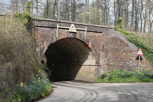
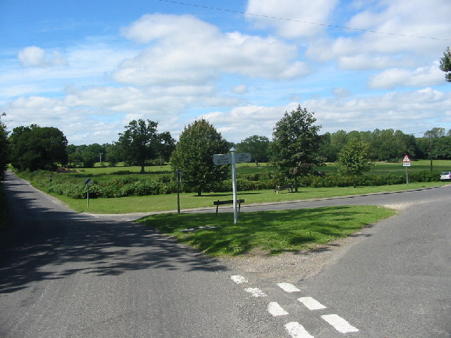
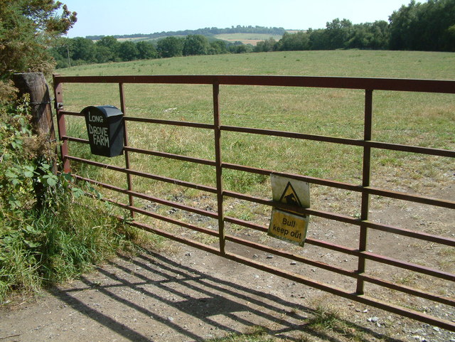
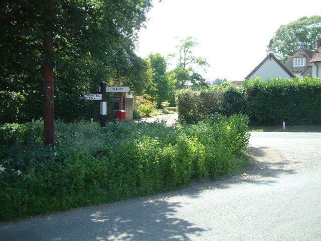
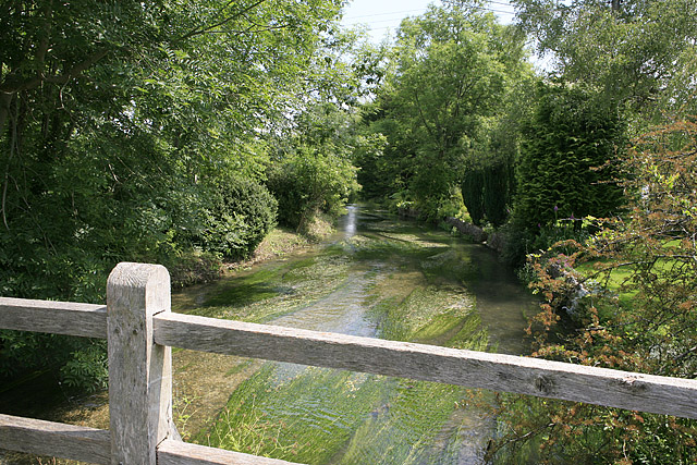
Alderbury Common Images

Images are sourced within 2km of 51.048799/-1.727445 or Grid Reference SU1927. Thanks to Geograph Open Source API. All images are credited.

Grazing and woodland near Waldon Farm
Steam train at West Grimstead Ex Southern Railway S15 4-6-0 No. E828 about to cross Green Drove bridge at West Grimstead.  The loco was hauling an Eastleigh to Salisbury local railtour.
Steam train at West Grimstead
Ex Southern Railway S15 4-6-0 No. E828 about to cross Green Drove bridge at West Grimstead. The loco was hauling an Eastleigh to Salisbury local railtour.
Private road to Upper Brickwood Farm The sign lists access to other premises as well.
Private road to Upper Brickwood Farm
The sign lists access to other premises as well.
View from a Southampton-Salisbury train - Field near Waldon Farm
Railway arch at West Grimstead
Junction of Grimstead Road and Crockford Road, West Grimstead At this peaceful green at the western end of the village, the signpost indicates West Grimstead / West Dean to the left (towards the photographer) and East Grimstead / Farley to the right. The road ahead to the left leads to the A36 at Whaddon.
Junction of Grimstead Road and Crockford Road, West Grimstead
At this peaceful green at the western end of the village, the signpost indicates West Grimstead / West Dean to the left (towards the photographer) and East Grimstead / Farley to the right. The road ahead to the left leads to the A36 at Whaddon.
Long Drove Farm, North of West Grimstead There was no bull in this field.
Long Drove Farm, North of West Grimstead
There was no bull in this field.
Road Junction, near Whitehouse Farm This junction is north of West Grimstead.
Road Junction, near Whitehouse Farm
This junction is north of West Grimstead.
Nightwood Copse This photo was taken east of Clarendon House.
Nightwood Copse
This photo was taken east of Clarendon House.
Entrance to Waldon Farm Fishing Lakes
West Grimstead Chapel
Farmland, Best's Farm, near Farley This looks as if an oilseed rape crop has recently been harvested.
Farmland, Best's Farm, near Farley
This looks as if an oilseed rape crop has recently been harvested.
West Grimstead : Houses & Gardens
Clarendon Road junction with Lucewood Lane
Long Drove southeast of Whitehouse Farm
Monk's lake One of several picturesque private fishing lakes on the Walden Estate
Monk's lake
One of several picturesque private fishing lakes on the Walden Estate
Lane from Farley to West Grimstead
Road over water and under rail The road into West Grimstead crosses a small brook that will become the River Dun before passing under the Romsey to Salisbury railway line.
Road over water and under rail
The road into West Grimstead crosses a small brook that will become the River Dun before passing under the Romsey to Salisbury railway line.
Show me another place!

Alderbury Common is located at Grid Ref: SU1927 (Lat: 51.048799, Lng: -1.727445)

Unitary Authority: Wiltshire

Police Authority: Wiltshire

What 3 Words

///actual.insisting.blur. Near Alderbury, Wiltshire

Related Wikis

Nearby Amenities

Located within 500m of 51.048799,-1.727445
Building: yes
Lat/Long: 51.0475559/-1.7312249
Alderbury Junction
Railway: junction
Lat/Long: 51.0450135/-1.724247
Power: pole
Lat/Long: 51.0528064/-1.7287134
Power: pole
Lat/Long: 51.0502585/-1.7271746
Power: pole
Lat/Long: 51.0515065/-1.7277908
Power: pole
Lat/Long: 51.0521581/-1.7279784
Power: pole
Lat/Long: 51.0484728/-1.7264491
Power: pole
Lat/Long: 51.0494008/-1.7267965
Power: pole
Lat/Long: 51.0470982/-1.7259141
Power: pole
Lat/Long: 51.0463395/-1.7256231
Power: pole
Lat/Long: 51.0456235/-1.7253276
Power: pole
Lat/Long: 51.0445902/-1.7258435
The data included in this document is from www.openstreetmap.org. The data is made available under ODbL.

Have you been to Alderbury Common?

Leave your review of Alderbury Common below (or comments, questions and feedback).