Barford Park
Downs, Moorland in Wiltshire
England
Barford Park

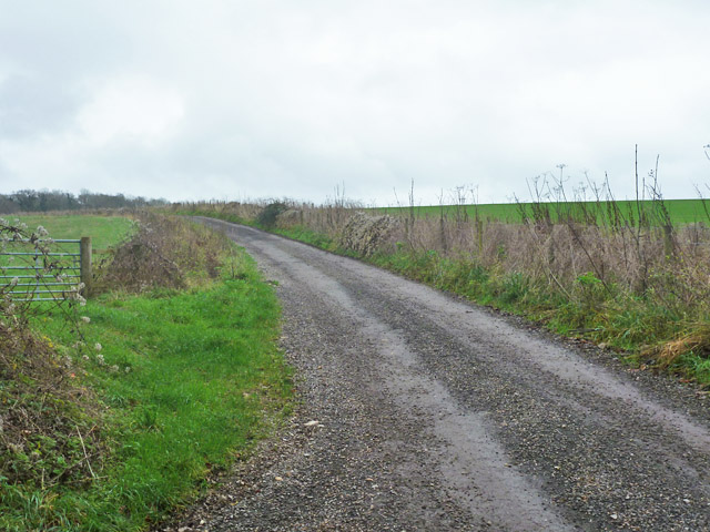
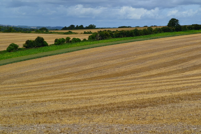
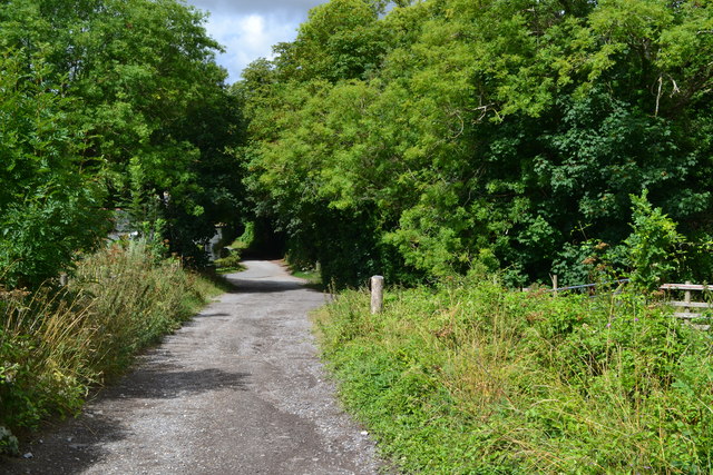
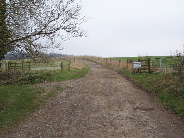
Barford Park is a picturesque public park located in the county of Wiltshire, England. Situated amidst the stunning Downs and Moorland landscapes, it covers an expansive area, providing visitors with a serene and tranquil environment to enjoy outdoor activities and nature.
The park boasts a diverse range of flora and fauna, with well-maintained trails that wind through lush green meadows, fragrant wildflower gardens, and ancient woodlands. These pathways offer opportunities for walking, jogging, and cycling, allowing visitors to immerse themselves in the natural beauty of the surrounding countryside.
The park also features several picnic areas, making it an ideal spot for families and friends to gather and enjoy a leisurely lunch amidst the picturesque scenery. The well-equipped children's playground provides young ones with a safe and enjoyable space to play and explore.
For those interested in wildlife, Barford Park offers excellent birdwatching opportunities, with a variety of species that inhabit the park throughout the year. The park also has a small pond, attracting waterfowl and other aquatic animals.
Additionally, the park hosts various events and festivals throughout the year, such as outdoor concerts and art exhibitions, which further enhance the visitor experience and promote community engagement.
Barford Park is easily accessible, with ample parking facilities available for visitors. Its idyllic setting, combined with its diverse range of recreational activities and natural beauty, make it a popular destination for both locals and tourists seeking a peaceful retreat amidst the charming countryside of Wiltshire.
If you have any feedback on the listing, please let us know in the comments section below.
Barford Park Images
Images are sourced within 2km of 51.005824/-1.7386569 or Grid Reference SU1822. Thanks to Geograph Open Source API. All images are credited.


Barford Park is located at Grid Ref: SU1822 (Lat: 51.005824, Lng: -1.7386569)
Unitary Authority: Wiltshire
Police Authority: Wiltshire
What 3 Words
///nights.messy.episode. Near Downton, Wiltshire
Nearby Locations
Related Wikis

Trafalgar Park, Wiltshire
Trafalgar Park (also known as Trafalgar House, formerly Standlynch Park) is a large Georgian country house about 1.4 miles (2.3 km) northeast of the village...

Charlton-All-Saints
Charlton-All-Saints is a hamlet in the civil parish of Downton, in South Wiltshire, England. It lies immediately west of the River Avon, about 1.5 mi...
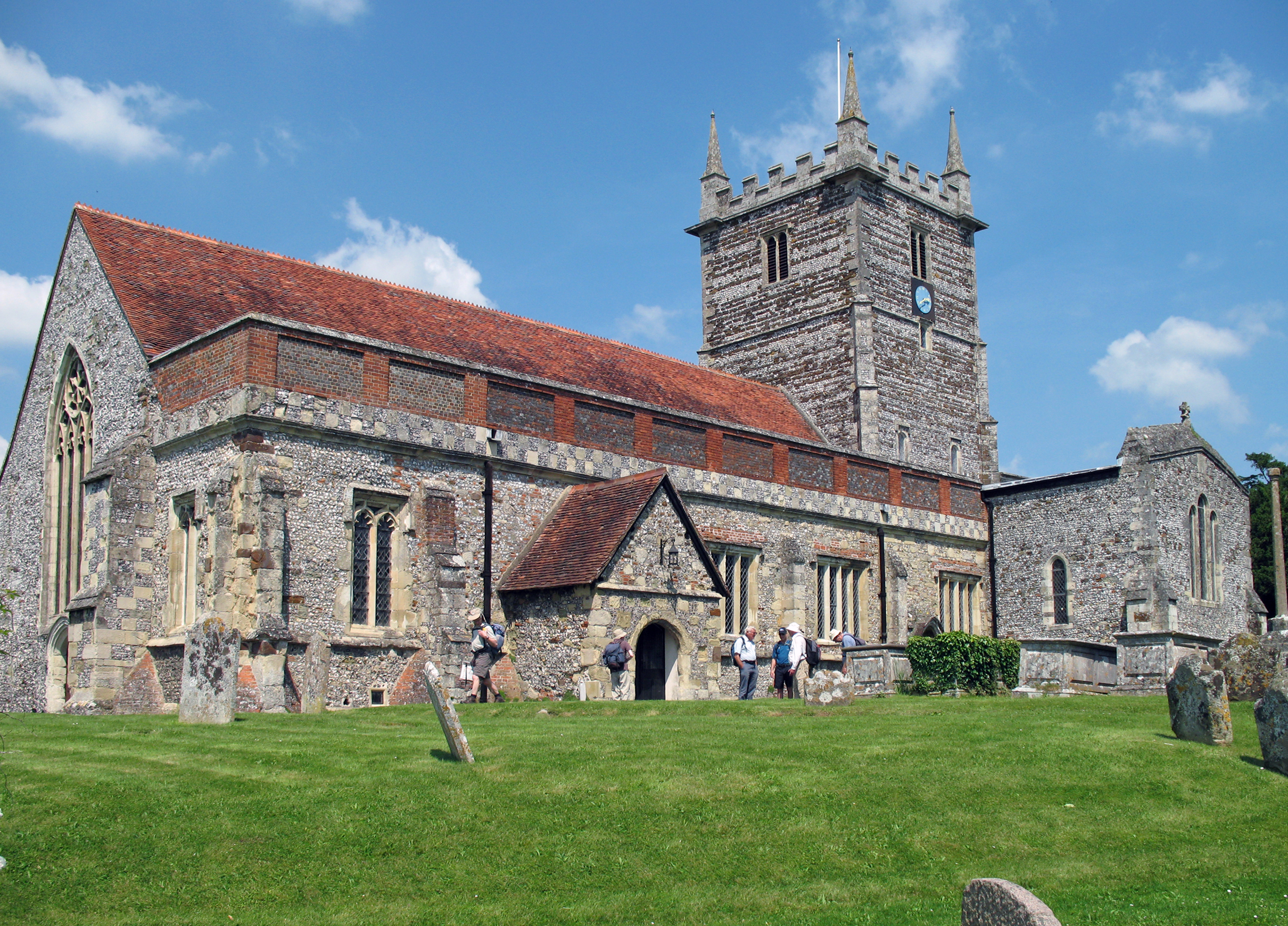
Church of St Laurence, Downton
The Church of St Laurence is the main Church of England parish church for the village of Downton, Wiltshire, England. An unusually long building for a...

Downton railway station
Downton was a railway station serving Downton, a village in Wiltshire. The village contained a large tanning mill on the River Avon, which has now closed...

Downton, Wiltshire
Downton is a village and civil parish on the River Avon in southern Wiltshire, England, about 6 miles (10 km) southeast of the city of Salisbury. The parish...

Witherington
Witherington is a small settlement in Wiltshire, England, in the extreme south-east of the county, a tithing of the civil parish of Downton. Although surveyed...

The Trafalgar School at Downton
The Trafalgar School at Downton is a Coeducational secondary school in Downton in the south of the English county of Wiltshire.The school began as a secondary...
Downton F.C.
Downton Football Club is a football club based in Downton, near Salisbury, Wiltshire, England. Affiliated to the Wiltshire Football Association, they are...
Nearby Amenities
Located within 500m of 51.005824,-1.7386569Have you been to Barford Park?
Leave your review of Barford Park below (or comments, questions and feedback).