Haseley Green

Settlement in Warwickshire Warwick

England

Haseley Green

Wroxall Abbey Estate Farmland near the Lodge.
Wroxall Abbey Estate Credit: Ian Rob

Haseley Green is a small village located in the county of Warwickshire, England. Situated approximately 5 miles north of the town of Warwick, it is a rural settlement surrounded by picturesque countryside and farmland. The village is part of the larger district of Warwick and is nestled in the heart of the Midlands.

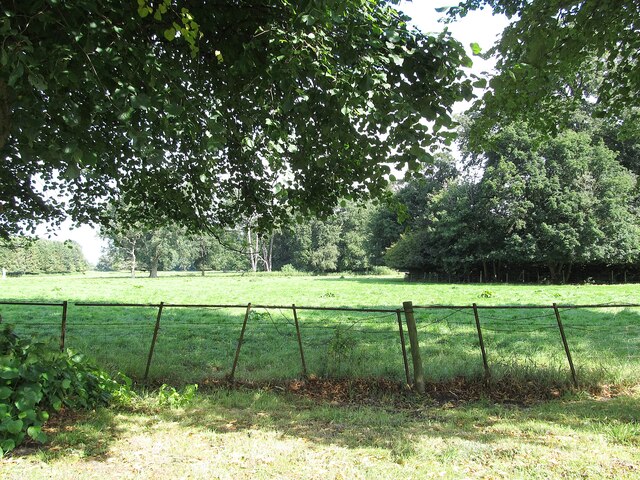
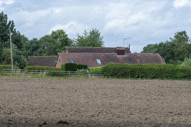
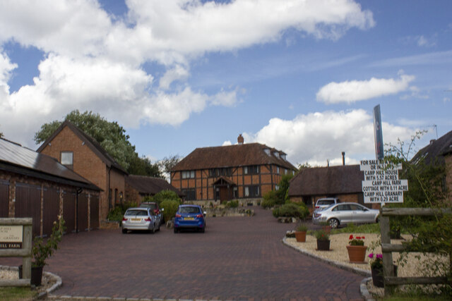
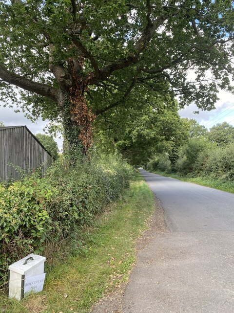
Haseley Green is known for its tranquil and idyllic setting, offering a peaceful escape from the hustle and bustle of city life. The village is characterized by its charming thatched-roof cottages and traditional architecture, which adds to its quaint and timeless appeal.

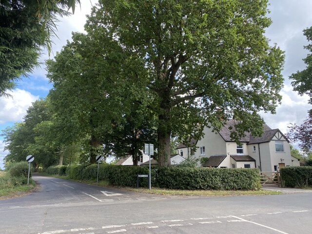
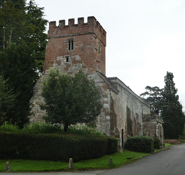
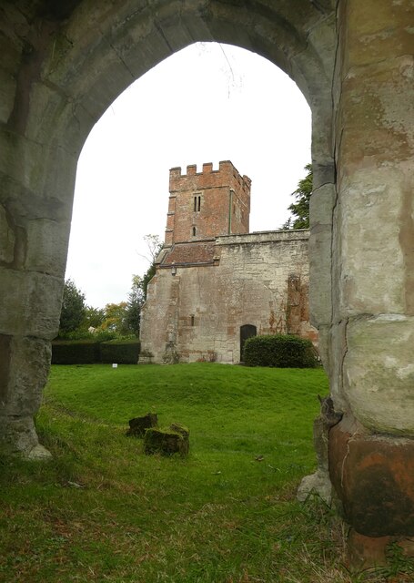
The village itself is relatively small, with a close-knit community that takes pride in its local heritage. It boasts a village hall, a historic church, and a pub, which serves as a focal point for social gatherings and a place for residents and visitors to relax and enjoy good company.

For those seeking outdoor activities, Haseley Green is surrounded by rolling hills and beautiful countryside, providing ample opportunities for walking, cycling, and exploring nature. The nearby Haseley Manor Estate offers extensive parkland and gardens, perfect for leisurely strolls or picnics.

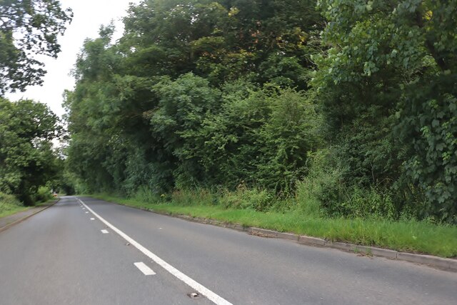
Despite its peaceful ambiance, Haseley Green benefits from its close proximity to larger towns and cities. With excellent transport links, Warwick, Leamington Spa, and Coventry are all easily accessible, offering a wealth of amenities, shopping opportunities, and cultural attractions.

In summary, Haseley Green is a charming and picturesque village in Warwickshire, offering a tranquil escape in a rural setting. Its traditional architecture, close community, and beautiful surroundings make it an appealing destination for those seeking a slower pace of life and a connection to nature.

If you have any feedback on the listing, please let us know in the comments section below.

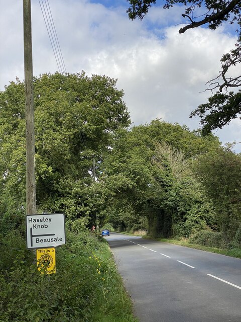
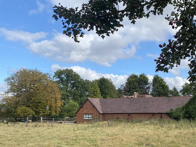
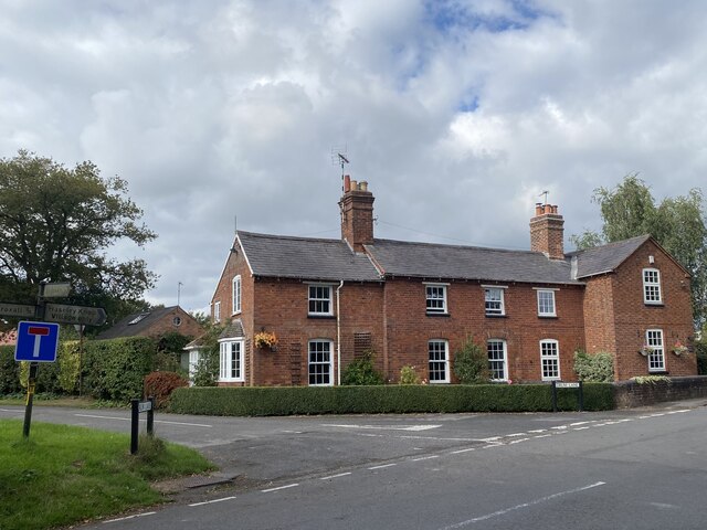
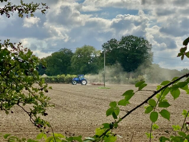
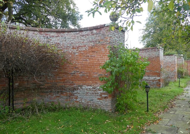
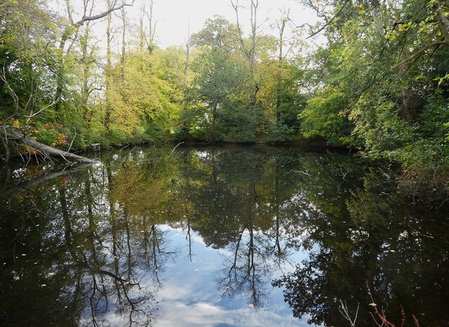
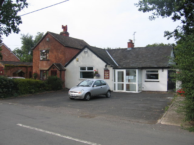
Haseley Green Images

Images are sourced within 2km of 52.323505/-1.652965 or Grid Reference SP2369. Thanks to Geograph Open Source API. All images are credited.

Wroxall Abbey Estate Farmland near the Lodge.
Wroxall Abbey Estate
Farmland near the Lodge.
Haseleygreen Farm
Haseleygreen Farm
Camphill Farm
Camphill Farm
Birmingham Road approaching Five Ways
Signpost near road junction Turn right for Beausale, straight ahead for Haseley Knob.
Signpost near road junction
Turn right for Beausale, straight ahead for Haseley Knob.
Cheney’s Farm
Cheney’s Farm
Haseley Knob House at road junction to Beausale.
Haseley Knob
House at road junction to Beausale.
Farming near Beausale
Rose Cottage post Alongside the road from Beausale.
Rose Cottage post
Alongside the road from Beausale.
House at crossroad near Beausale I wonder how ‘Dirty Lane’ got its name.
House at crossroad near Beausale
I wonder how ‘Dirty Lane’ got its name.
Wroxall Abbey - Church of St Leonard Dating originally from c.1315 with the west tower (seen prominently here) added in c.1663. It takes its dedication from the former St Leonard's priory, the ruins of which lie to its south. The church is to the east of the C19th Wroxall Abbey which was never actually an abbey. See shared description below for more information and links.
Wroxall Abbey - Church of St Leonard
Dating originally from c.1315 with the west tower (seen prominently here) added in c.1663. It takes its dedication from the former St Leonard's priory, the ruins of which lie to its south. The church is to the east of the C19th Wroxall Abbey which was never actually an abbey. See shared description below for more information and links.
Wroxall Abbey - St Leonard's church through priory arch Taken from inside the ruins of St Leonard's Priory looking through its northern arch to the tower of St Leonard's church. See shared description for more information.
Wroxall Abbey - St Leonard's church through priory arch
Taken from inside the ruins of St Leonard's Priory looking through its northern arch to the tower of St Leonard's church. See shared description for more information.
Wroxall Abbey - Arches of ruined St Leonard's priory Looking through the northern arch of part of the ruins of St Leonard's Priory (probably the former frater) through to the arch in its southern wall.
See also <a href="https://www.geograph.org.uk/photo/7006464">SP2270 : Wroxall Abbey - St Leonard's Priory ruins (frater)</a>
and <a href="https://www.geograph.org.uk/photo/7006832">SP2270 : Wroxall Abbey - St Leonard's Priory ruins (chapter house)</a>
and <a href="https://www.geograph.org.uk/photo/7006840">SP2270 : Wroxall Abbey - St Leonard's Priory ruins (both parts)</a>
and shared description below.
Wroxall Abbey - Arches of ruined St Leonard's priory
Looking through the northern arch of part of the ruins of St Leonard's Priory (probably the former frater) through to the arch in its southern wall. See also SP2270 : Wroxall Abbey - St Leonard's Priory ruins (frater) and SP2270 : Wroxall Abbey - St Leonard's Priory ruins (chapter house) and SP2270 : Wroxall Abbey - St Leonard's Priory ruins (both parts) and shared description below.
Wroxall Abbey - St Leonard's Priory ruins (frater) There are two main clumps of ruins of St Leonard's Priory at Wroxall Abbey - this is the most complete which lies to the WSW of the other remains (see <a href="https://www.geograph.org.uk/photo/7006832">SP2270 : Wroxall Abbey - St Leonard's Priory ruins (chapter house)</a>). It is thought that part of this ruin is the former priory frater, with a screens passage to the eastern end.
See also <a href="https://www.geograph.org.uk/photo/7006459">SP2270 : Wroxall Abbey - Arches of ruined St Leonard's priory</a>
and <a href="https://www.geograph.org.uk/photo/7006840">SP2270 : Wroxall Abbey - St Leonard's Priory ruins (both parts)</a>
and shared description below.
Wroxall Abbey - St Leonard's Priory ruins (frater)
There are two main clumps of ruins of St Leonard's Priory at Wroxall Abbey - this is the most complete which lies to the WSW of the other remains (see SP2270 : Wroxall Abbey - St Leonard's Priory ruins (chapter house)). It is thought that part of this ruin is the former priory frater, with a screens passage to the eastern end. See also SP2270 : Wroxall Abbey - Arches of ruined St Leonard's priory and SP2270 : Wroxall Abbey - St Leonard's Priory ruins (both parts) and shared description below.
Wroxall Abbey - St Leonard's church tower Although the church dates from 1315 originally the tower was added (probably replacing an earlier one) in 1663 and is substantially made of brick rather than the stone of the earlier building.
Wroxall Abbey - St Leonard's church tower
Although the church dates from 1315 originally the tower was added (probably replacing an earlier one) in 1663 and is substantially made of brick rather than the stone of the earlier building.
Wroxall Abbey - Curved boundary wall - exterior The northern wall of the garden to the east of Wroxall Abbey is made up of five semi-circular lobes described as "pierced cusped balustrades" by EH. They are very unusual.
See <a href="https://www.geograph.org.uk/photo/7006500">SP2270 : Wroxall Abbey - Curved boundary wall - interior</a> for the interior view and the shared description below.
Wroxall Abbey - Curved boundary wall - exterior
The northern wall of the garden to the east of Wroxall Abbey is made up of five semi-circular lobes described as "pierced cusped balustrades" by EH. They are very unusual. See SP2270 : Wroxall Abbey - Curved boundary wall - interior for the interior view and the shared description below.
Wroxall Abbey - Curved boundary wall - interior The 'inside' view of the unusual multi-curved garden wall around the former formal gardens at Wroxall Abbey.
See <a href="https://www.geograph.org.uk/photo/7006495">SP2270 : Wroxall Abbey - Curved boundary wall - exterior</a> for the exterior view.
See also the shared description below.
Wroxall Abbey - Curved boundary wall - interior
The 'inside' view of the unusual multi-curved garden wall around the former formal gardens at Wroxall Abbey. See SP2270 : Wroxall Abbey - Curved boundary wall - exterior for the exterior view. See also the shared description below.
Wroxall Abbey - Pool This tree-fringed pool lies to the east of the buildings comprising Wroxall Abbey. I would assume that it is a man-made as its sides are very square, though nature has softened them somewhat over the decades.
Wroxall Abbey - Pool
This tree-fringed pool lies to the east of the buildings comprising Wroxall Abbey. I would assume that it is a man-made as its sides are very square, though nature has softened them somewhat over the decades.
Show me another place!

Haseley Green is located at Grid Ref: SP2369 (Lat: 52.323505, Lng: -1.652965)

Administrative County: Warwickshire

District: Warwick

Police Authority: Warwickshire

What 3 Words

///testers.circulate.envy. Near Wroxall, Warwickshire

Related Wikis

Beausale, Haseley, Honiley and Wroxall

Beausale, Haseley, Honiley and Wroxall is a civil parish in the Warwick District of Warwickshire, England. It was created in 2007 by the merger of the...

Beausale

Beausale is a hamlet and former civil parish, now in the parish of Beausale, Haseley, Honiley and Wroxall, in the Warwick district of Warwickshire, England...

Haseley

Haseley is a small village and former civil parish in Warwickshire, England. It is four miles north-west of the county town of Warwick and nine miles...
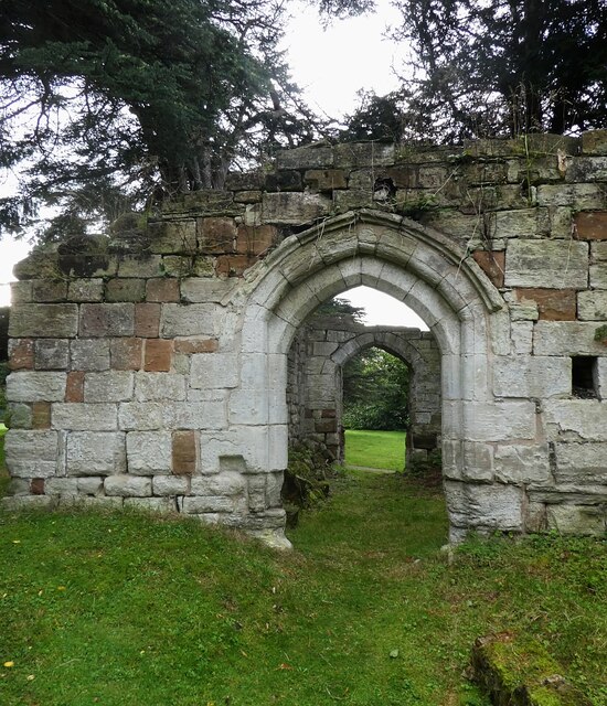
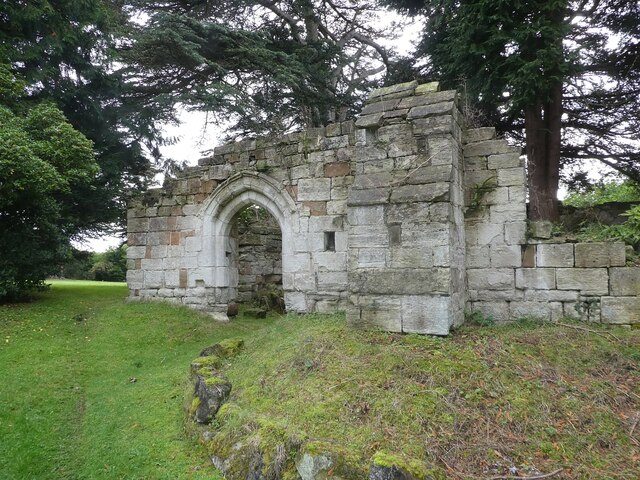
Wroxall Priory

Wroxall Priory was a medieval monastic house in Wroxall, Warwickshire, England. It was founded c.1135 by Hugh, Lord of Hatton and Wroxall in thanks for...
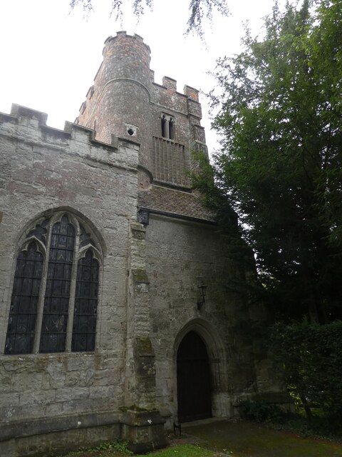
Wren's Cathedral

Wren's Cathedral, properly the Church of St Leonard and now a cathedral of the Communion of Evangelical Episcopal Churches, was originally the Lady Chapel...

Wroxall Abbey

Wroxall Abbey is a substantial Victorian mansion house situated at Wroxall, Warwickshire which was converted for use as a hotel, spa, wedding venue and...

Wroxall, Warwickshire

Wroxall is a small village and former civil parish, now in the parish of Beausale, Haseley, Honiley and Wroxall, in the Warwick district, in the county...

Hatton, Warwickshire

Hatton is a village and civil parish about 4 miles (6 km) west-northwest of Warwick, in the Warwick District of Warwickshire in England. The parish had...

Nearby Amenities

Located within 500m of 52.323505,-1.652965
The data included in this document is from www.openstreetmap.org. The data is made available under ODbL.

Have you been to Haseley Green?

Leave your review of Haseley Green below (or comments, questions and feedback).