Bagnum Rough

Downs, Moorland in Hampshire New Forest

England

Bagnum Rough

Path towards Church Moor Near Fort Hill the path towards Church Moor
Path towards Church Moor Credit: Shaun Ferguson

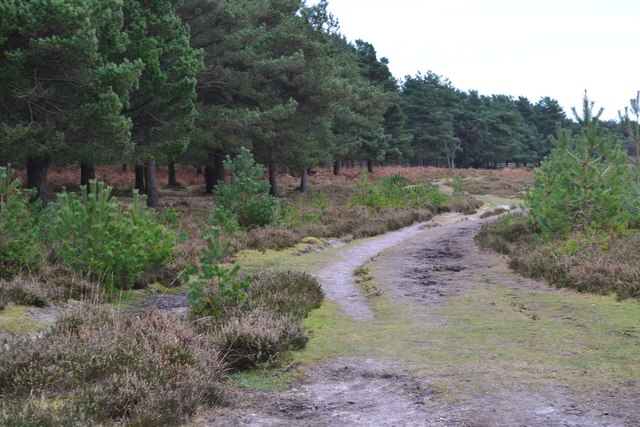
Bagnum Rough is a picturesque area located in Hampshire, England, known for its stunning Downs and Moorland landscapes. Situated near the town of Ringwood, Bagnum Rough is a popular destination for nature enthusiasts, hikers, and photographers.

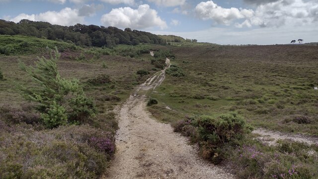
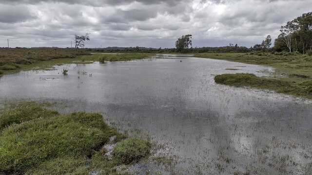
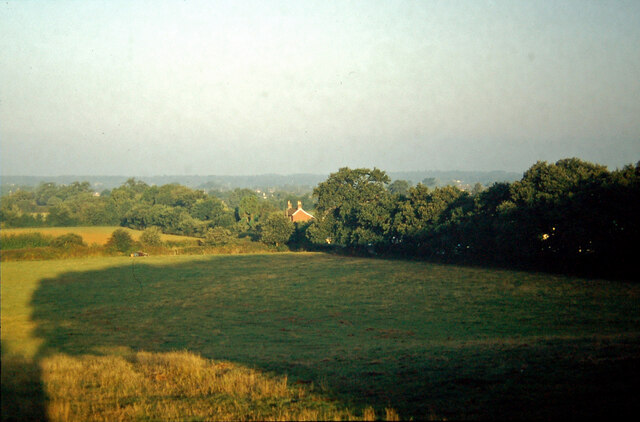
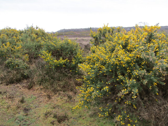
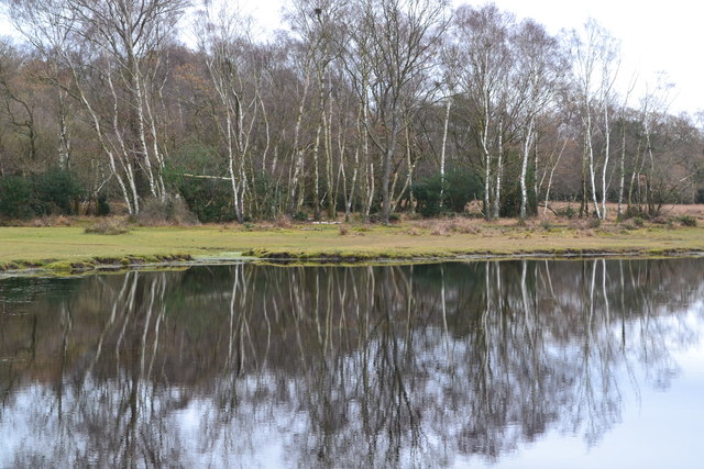
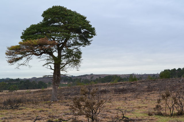
The area is characterized by its rolling hills and expansive open spaces, offering breathtaking views of the surrounding countryside. The Downs at Bagnum Rough are covered in lush green grass and dotted with wildflowers, creating a vibrant and colorful scene throughout the year. The Moorland, on the other hand, features a mix of heather, gorse, and bracken, providing a unique and diverse habitat for wildlife.

Bagnum Rough is home to a range of wildlife, including various bird species, rabbits, deer, and other small mammals. It is also an important area for conservation, with efforts in place to protect and preserve the natural environment. Visitors to the area can often spot rare and endangered species that thrive within the diverse ecosystems of Bagnum Rough.

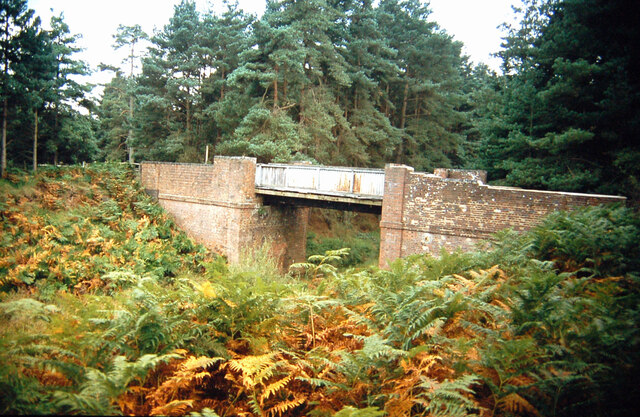
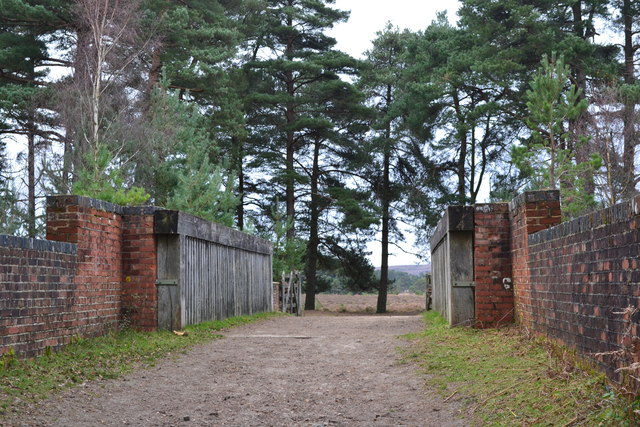
For outdoor enthusiasts, Bagnum Rough offers a variety of activities. The area is crisscrossed with numerous walking and hiking trails, allowing visitors to explore the stunning scenery at their own pace. Additionally, the rough terrain is ideal for mountain biking and horseback riding, providing an exhilarating experience for adventure seekers.

Overall, Bagnum Rough is a haven for nature lovers, offering a tranquil and scenic escape from the hustle and bustle of everyday life. Whether it's a leisurely walk, a challenging hike, or simply a desire to immerse oneself in the beauty of nature, Bagnum Rough is a must-visit destination in Hampshire.

If you have any feedback on the listing, please let us know in the comments section below.

Bagnum Rough Images

Images are sourced within 2km of 50.824117/-1.7436184 or Grid Reference SU1802. Thanks to Geograph Open Source API. All images are credited.

Path towards Church Moor Near Fort Hill the path towards Church Moor
Path towards Church Moor
Near Fort Hill the path towards Church Moor
Long Pond A tranquil Long Pond
Long Pond
A tranquil Long Pond
Bridge over old railway line A footbridge spanning the trackbed of the old Brockenhurst to Ringwood railway line near Dur Hill  Inclosure.
Bridge over old railway line
A footbridge spanning the trackbed of the old Brockenhurst to Ringwood railway line near Dur Hill Inclosure.
View from Charles Copse over Crow The house in the centre of the picture is the photographer's boyhood home, in Barrack Lane.  The bushes in the left centre are where the railway line from Brockenhurst to Ringwood passed.  Behind the trees in the centre is the site of No. 14 Crossing, the keeper's cottage now a pleasant bungalow.
View from Charles Copse over Crow
The house in the centre of the picture is the photographer's boyhood home, in Barrack Lane. The bushes in the left centre are where the railway line from Brockenhurst to Ringwood passed. Behind the trees in the centre is the site of No. 14 Crossing, the keeper's cottage now a pleasant bungalow.
Old railway bridge at Bagnum The abutments of the old railway underbridge at Bagnum still exist but the steel deck was removed when the track was dismantled in the 1960's.  Charles Lane passes through on its way to Charles Farm at the top of the hill and onwards towards Burley.
Old railway bridge at Bagnum
The abutments of the old railway underbridge at Bagnum still exist but the steel deck was removed when the track was dismantled in the 1960's. Charles Lane passes through on its way to Charles Farm at the top of the hill and onwards towards Burley.
Vales Moor - Heathland Gorse and heather abound in the New Forest by the Smugglers Road car park.
<span class="nowrap"><a title="www.newforesrnpa.gov.uk" rel="nofollow ugc noopener" href="http://www.newforesrnpa.gov.uk">Link</a><img style="margin-left:2px;" alt="External link" title="External link - shift click to open in new window" src="https://s1.geograph.org.uk/img/external.png" width="10" height="10"/></span>
Vales Moor - Heathland
Gorse and heather abound in the New Forest by the Smugglers Road car park. LinkExternal link
Sandford Ford This is the first of two fords at Sandford.
Sandford Ford
This is the first of two fords at Sandford.
Ford at Sandford This is the second ford at Sandford.
Ford at Sandford
This is the second ford at Sandford.
Trees reflected in Long Pond
Isolated tree near Brown Loaf
Footbridge over dismantled railway
Path beside dismantled railway The route of the railway itself is at this point heavily waterlogged and impassable on foot.
Path beside dismantled railway
The route of the railway itself is at this point heavily waterlogged and impassable on foot.
Former level crossing in Barrack Lane Complete with some lengths of railway track.
Former level crossing in Barrack Lane
Complete with some lengths of railway track.
Former level crossing in Barrack Lane The railway track crossed immediately in front of the white house.
Former level crossing in Barrack Lane
The railway track crossed immediately in front of the white house.
Path on former railway trackbed south of Crow
Charles Copse, seen from footpath
Lane to Brixey's Farm
Winding lane at Sandford
Show me another place!

Bagnum Rough is located at Grid Ref: SU1802 (Lat: 50.824117, Lng: -1.7436184)

Administrative County: Hampshire

District: New Forest

Police Authority: Hampshire

What 3 Words

///straw.plotter.stun. Near Burley, Hampshire

Nearby Locations

Bagnum Rough

Related Wikis

Bagnum

Bagnum is a hamlet in the English county of Hampshire. The settlement is within the civil parish of Ringwood (where the 2011 Census was included), and...

Crow, Hampshire

Crow is a small village situated in the New Forest National Park in Hampshire, England. Its nearest town is Ringwood, which lies approximately 1 mile...

Sandford, Hampshire

Sandford is a small hamlet in the New Forest National Park of Hampshire, England. The nearest town to Sandford is Ringwood, which is approximately 2.6...

Castle Hill, Hampshire

Castle Hill is the site of an Iron Age univallate hillfort located in the civil parish of Burley in the New Forest national park in Hampshire, England...

Nearby Amenities

Located within 500m of 50.824117,-1.7436184
Bagnum Rough
Place: locality
Lat/Long: 50.8241456/-1.7434989
Bagnum Bog
Place: locality
Lat/Long: 50.8213004/-1.7416682
The data included in this document is from www.openstreetmap.org. The data is made available under ODbL.

Have you been to Bagnum Rough?

Leave your review of Bagnum Rough below (or comments, questions and feedback).