Haselbury Plucknett
Settlement in Somerset South Somerset
England
Haselbury Plucknett
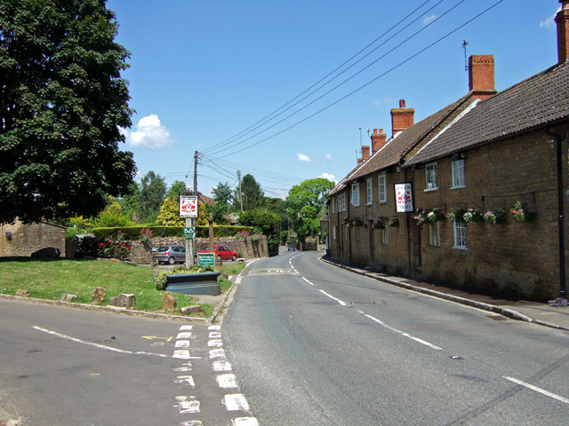
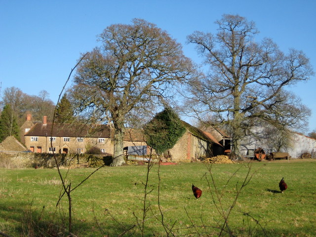
Haselbury Plucknett is a small village located in the county of Somerset, England. Situated approximately 6 miles north of the town of Crewkerne, it is nestled in the picturesque countryside of South Somerset. The village is known for its quaint and charming character, with a population of around 300 people.
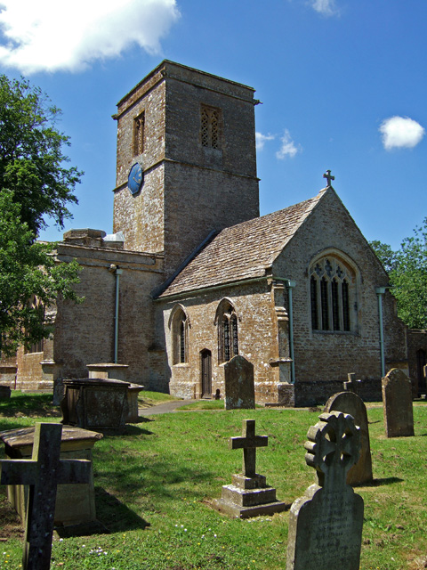
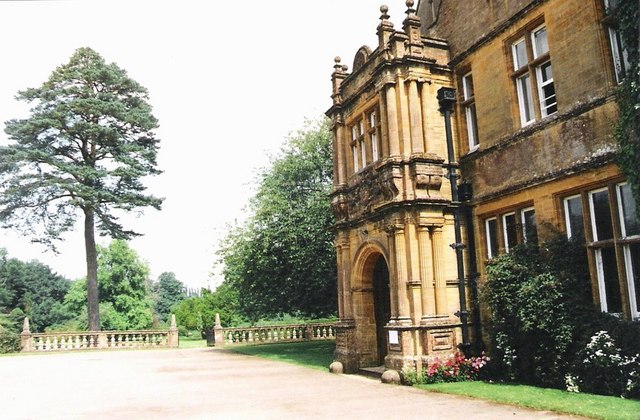
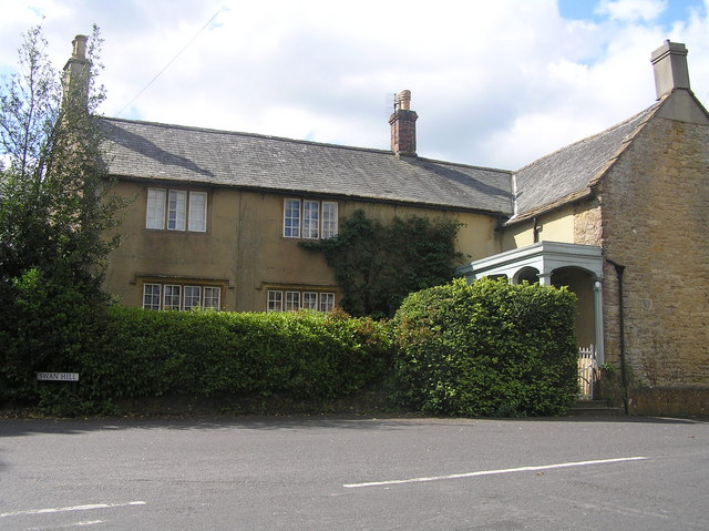
The history of Haselbury Plucknett can be traced back to the Domesday Book, where it is mentioned as "Heselberie." The village is renowned for its beautiful thatched cottages, which give it a quintessential English countryside feel. St. Michael's Church, a Grade I listed building, is a prominent feature in the village. Dating back to the 15th century, it boasts a striking tower and intricate stained glass windows.
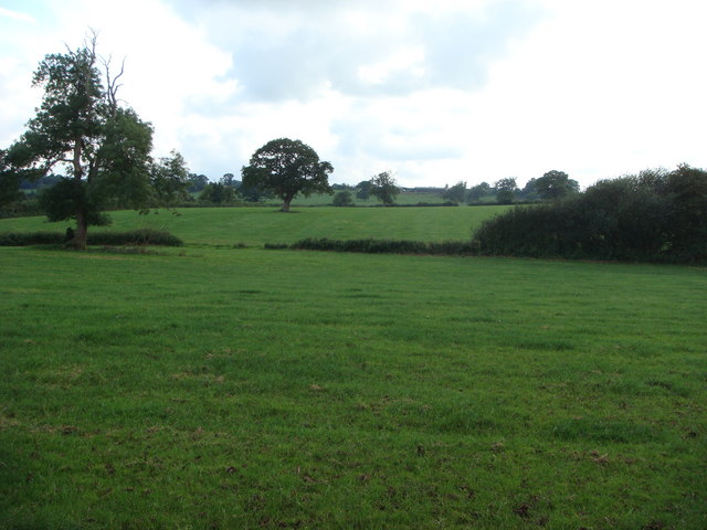
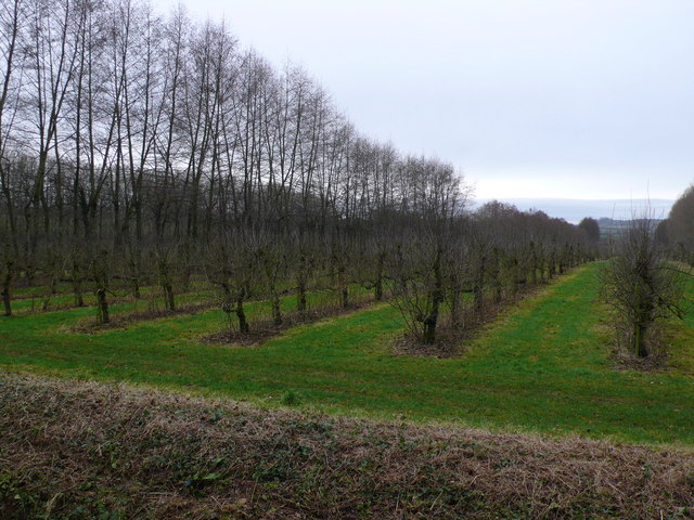
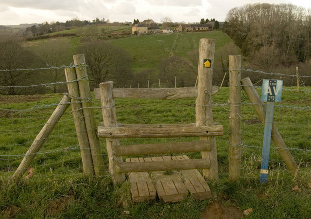
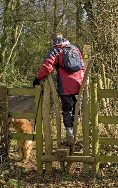
The village is well-served by amenities, including a village hall, a primary school, and a local pub, creating a close-knit community atmosphere. The surrounding area offers a range of outdoor activities, such as walking and cycling routes, providing stunning views of the rolling hills and lush green fields.
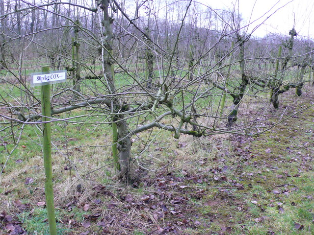
Haselbury Plucknett is also famous for its annual events, such as the Mid-Somerset Show, which attracts visitors from far and wide. The show showcases the agricultural traditions and local produce of the area, with livestock displays, food stalls, and entertainment for all ages.
Overall, Haselbury Plucknett is a charming and idyllic village that captures the essence of rural England. Its rich history, stunning scenery, and strong sense of community make it an attractive destination for visitors and a delightful place to call home.
If you have any feedback on the listing, please let us know in the comments section below.
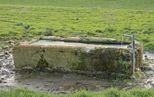
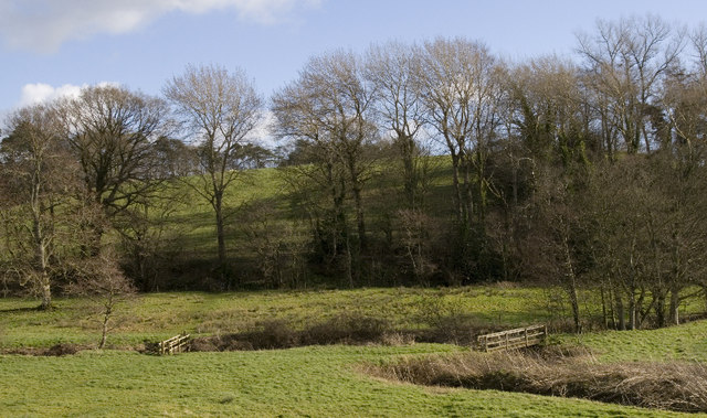
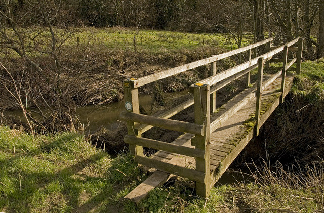
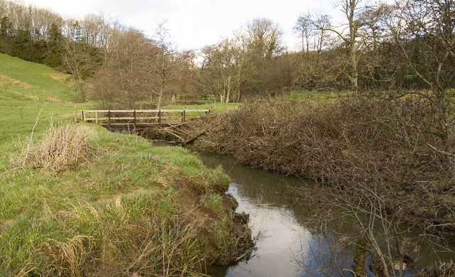
Haselbury Plucknett Images
Images are sourced within 2km of 50.893781/-2.752025 or Grid Reference ST4710. Thanks to Geograph Open Source API. All images are credited.
Haselbury Plucknett is located at Grid Ref: ST4710 (Lat: 50.893781, Lng: -2.752025)
Administrative County: Somerset
District: South Somerset
Police Authority: Avon and Somerset
What 3 Words
///running.radically.burns. Near Crewkerne, Somerset
Nearby Locations
Related Wikis

Church of St Michael and All Angels, Haselbury Plucknett
The Anglican Church of St Michael and All Angels in Haselbury Plucknett, Somerset, England was built in the 14th century. It is a Grade II* listed building...
Haselbury Plucknett
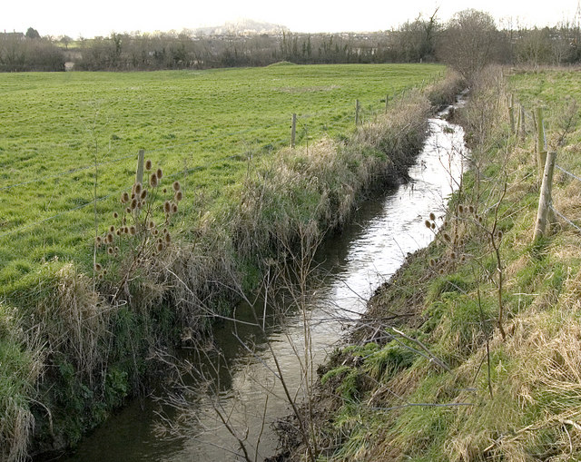
Haselbury Plucknett is a village and civil parish on the River Parrett in Somerset, England, situated 6 miles (9.7 km) south west of Yeovil in the South...

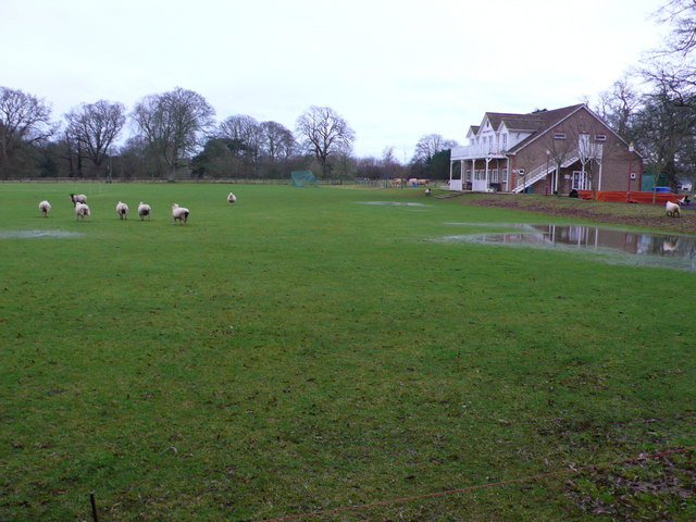
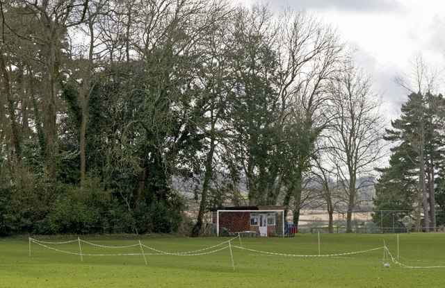
North Perrott Cricket Club Ground
North Perrott Cricket Club Ground is a former List A cricket ground located in North Perrott, Somerset. It hosted a single Cheltenham & Gloucester Trophy...

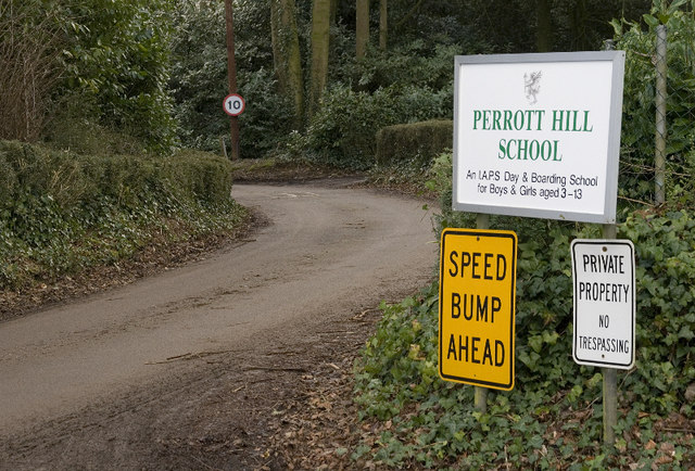
North Perrott Manor House
North Perrott Manor House which later became Perrott Hill School in North Perrott, Somerset, England was built in 1877 by Thomas Henry Wyatt. It is a Grade...
Related Videos

Wedding Planning UK | A drumroll to love, laughter, and happily ever after! ✨ #FunWeddingDay
L R 16 September 2023 A drumroll to love, laughter, and happily ever after! ✨ #FunWeddingDay #HappilyEverAfter #wedding ...

Rachel & Ed's Haselbury Mill Somerset Wedding Film
Who would have thought that the April Bank Holiday weekend would have such stunning weather! Rachel and Ed's wedding was ...

Haselbury Miill - 8th April 2023
Please share with your friends. We first discovered Haselbury Mill when Serena and Leon chose it as their wedding venue. We fell ...
Nearby Amenities
Located within 500m of 50.893781,-2.752025Have you been to Haselbury Plucknett?
Leave your review of Haselbury Plucknett below (or comments, questions and feedback).