Bridge-end Pasture
Downs, Moorland in Derbyshire High Peak
England
Bridge-end Pasture

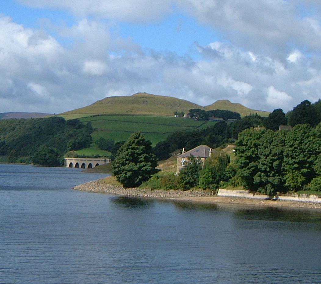
Bridge-end Pasture is a picturesque and diverse natural area located in Derbyshire, England. Stretching across vast acres of land, it is known for its stunning combination of downs, moorland, and lush green fields. This natural landscape is truly a sight to behold, attracting both locals and tourists alike.
The diverse topography of Bridge-end Pasture offers a range of ecosystems and habitats for various plant and animal species to thrive. The downs, characterized by their gently rolling hills, are covered in vibrant wildflowers during the spring and summer months. This creates a colorful and enchanting backdrop for visitors to explore.
In contrast, the moorland areas of Bridge-end Pasture offer a more rugged and untamed wilderness. This part of the pasture is characterized by vast expanses of open heather moor, interspersed with rocky outcrops and peat bogs. It provides a haven for a variety of bird species, including the iconic red grouse, as well as wild mammals like hares and deer.
For outdoor enthusiasts, Bridge-end Pasture offers an extensive network of walking trails and paths, allowing visitors to fully immerse themselves in the natural beauty of the area. These pathways wind through the downs and moorland, offering breathtaking panoramic views of the Derbyshire countryside.
Moreover, the pasture is home to a rich cultural heritage, with evidence of ancient settlements and historical landmarks scattered throughout the landscape. These archaeological sites provide a fascinating insight into the area's past, adding an extra layer of intrigue to any visit.
Overall, Bridge-end Pasture is a haven of natural beauty, offering a diverse range of landscapes and wildlife. Whether it's a leisurely walk, a birdwatching expedition, or a journey through history, this Derbyshire gem has something to offer for everyone.
If you have any feedback on the listing, please let us know in the comments section below.
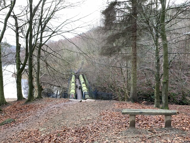
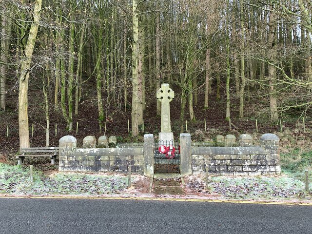
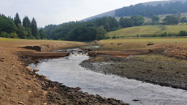
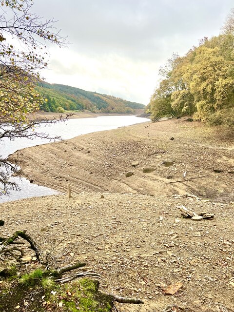
Bridge-end Pasture Images
Images are sourced within 2km of 53.386628/-1.7372083 or Grid Reference SK1787. Thanks to Geograph Open Source API. All images are credited.


Bridge-end Pasture is located at Grid Ref: SK1787 (Lat: 53.386628, Lng: -1.7372083)
Administrative County: Derbyshire
District: High Peak
Police Authority: Derbyshire
What 3 Words
///dock.cove.hillsides. Near Hope Valley, Derbyshire
Nearby Locations
Related Wikis

Derwent Woodlands War Memorial
Derwent Woodlands War Memorial is a 20th-century grade II listed war memorial near the Ladybower Reservoir, Derbyshire. == History == The war memorial...
Crook Hill
Crook Hill is a small hill in the Peak District National Park in the English county of Derbyshire, 5 kilometres (3.1 mi) northeast of Castleton. ��2�...

Derwent, Derbyshire
Derwent was a village 'drowned' in 1944 when the Ladybower Reservoir in Derbyshire, England was created. The village of Ashopton, Derwent Woodlands church...

Ladybower Reservoir
Ladybower Reservoir is a large Y-shaped, artificial reservoir, the lowest of three in the Upper Derwent Valley in Derbyshire, England. The River Ashop...

River Ashop
The River Ashop is a river in the Derbyshire Peak District, England. Its source is on the eastern slopes of Mill Hill, three miles south east of Glossop...

Derwent Edge
Derwent Edge is a Millstone Grit escarpment that lies above the Upper Derwent Valley in the Peak District National Park in the English county of Derbyshire...

Ashopton
Ashopton was a small village in Derbyshire, England, in the valley of the River Ashop. The village population was less than 100. Details are included in...

Birchinlee
Birchinlee is the site of "Tin Town", a village built by the Derwent Valley Water Board for the workers (and their families) who constructed the Derwent...
Nearby Amenities
Located within 500m of 53.386628,-1.7372083Have you been to Bridge-end Pasture?
Leave your review of Bridge-end Pasture below (or comments, questions and feedback).