Hasbury

Settlement in Worcestershire

England

Hasbury

St John The Baptist, Parish church of Halesowen Halesowen Parish Church is a Town Centre Church in the fast-changing town of Halesowen with a 1,000 year history as a Grade 1 listed building.
The second most important historical building in Dudley Metropolitan Borough it was opened in 1083, and had been in central use ever since
St John The Baptist, Parish church of Halesowen Credit: Stephen Rogerson

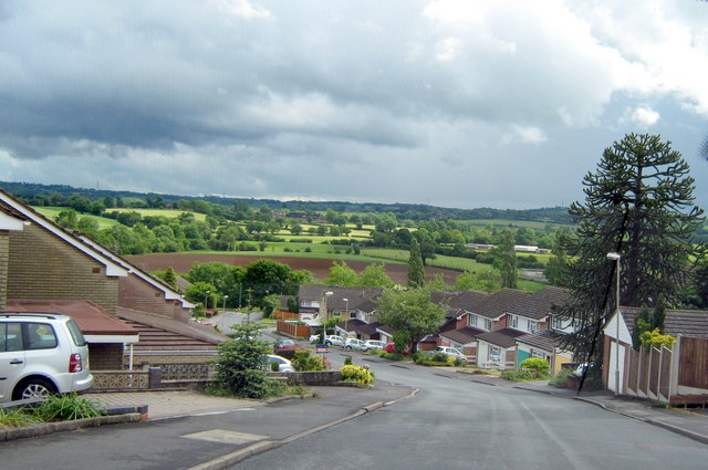
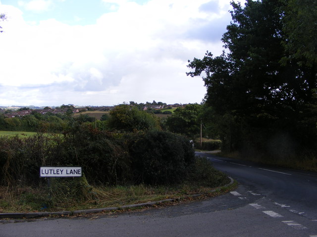
Hasbury is a small village located in the county of Worcestershire, England. Situated approximately 1.5 miles south of Halesowen town center, it is nestled in the picturesque Clent Hills, offering stunning views of the countryside.

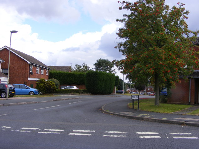
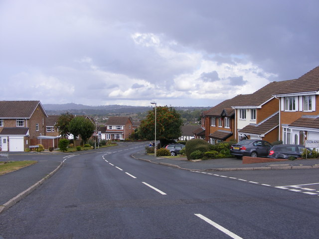
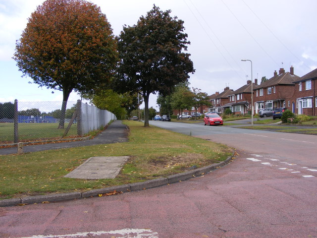
The village is primarily residential, with a mix of housing styles ranging from traditional cottages to more modern developments. It is known for its peaceful and friendly atmosphere, making it an ideal place to live for families and retirees seeking a tranquil lifestyle.

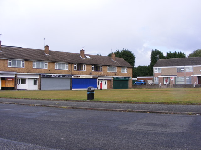
Hasbury benefits from a range of local amenities, including a convenience store, post office, and a few small local businesses. However, with Halesowen town center nearby, residents have access to a broader range of shopping, dining, and entertainment options.

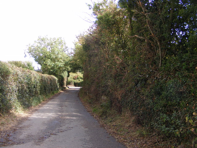
Nature enthusiasts will find plenty to enjoy in Hasbury, with the Clent Hills just a short distance away. These hills are a designated Area of Outstanding Natural Beauty and offer numerous walking trails, picnic spots, and breathtaking views. Many residents and visitors also take advantage of the hills for outdoor activities such as cycling and horse riding.

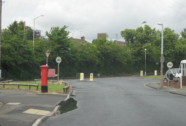
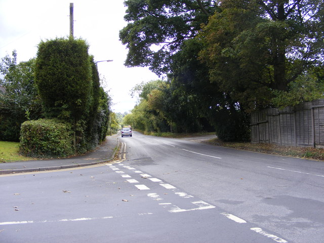
Transport links in Hasbury are convenient, with regular bus services connecting the village to Halesowen and other nearby towns. The nearby A456 road provides easy access to Birmingham city center, which is approximately 10 miles away.

Overall, Hasbury’s charming countryside setting, friendly community, and proximity to amenities make it an attractive place to live or visit in Worcestershire.

If you have any feedback on the listing, please let us know in the comments section below.
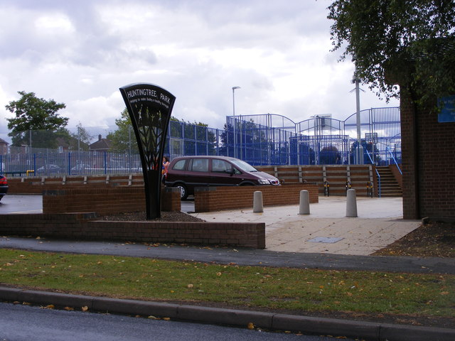
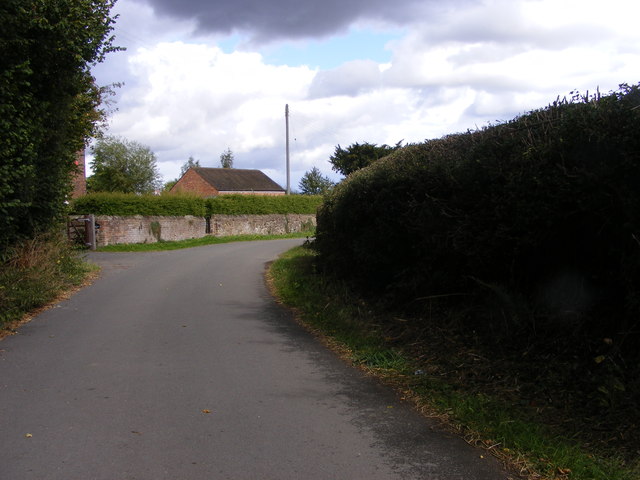
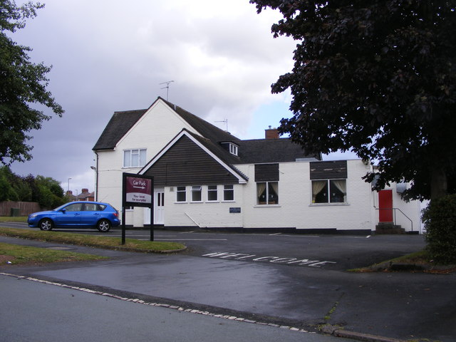
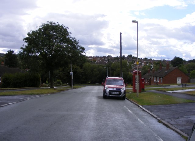
Hasbury Images

Images are sourced within 2km of 52.446712/-2.06912 or Grid Reference SO9583. Thanks to Geograph Open Source API. All images are credited.

St John The Baptist, Parish church of Halesowen Halesowen Parish Church is a Town Centre Church in the fast-changing town of Halesowen with a 1,000 year history as a Grade 1 listed building.
The second most important historical building in Dudley Metropolitan Borough it was opened in 1083, and had been in central use ever since
St John The Baptist, Parish church of Halesowen
Halesowen Parish Church is a Town Centre Church in the fast-changing town of Halesowen with a 1,000 year history as a Grade 1 listed building. The second most important historical building in Dudley Metropolitan Borough it was opened in 1083, and had been in central use ever since
Halesowen - Pershore Road
Halesowen - Uffmoor Lane Looking Towards Hagley Road
Manor Way School The view of the Halesowen Primary School.
Manor Way School
The view of the Halesowen Primary School.
New Gateway The Gate on Belle Vale road alongside the River Stour in the Congreaves Nature Reserve. The Gateway is being renovated. Old Gateway <a href="https://www.geograph.org.uk/photo/1537783">SO9584 : Old Gateway</a>
New Gateway
The Gate on Belle Vale road alongside the River Stour in the Congreaves Nature Reserve. The Gateway is being renovated. Old Gateway SO9584 : Old Gateway
Lutley Lane View The Lutley view on the edge of Halesowen.
Lutley Lane View
The Lutley view on the edge of Halesowen.
Lutley Lane Junction The view near Four Elms Farm, Lutley Dudley.
Lutley Lane Junction
The view near Four Elms Farm, Lutley Dudley.
Huntingtree Park The park off Huntingtree Road Hasbury near Halesowen.
Huntingtree Park
The park off Huntingtree Road Hasbury near Halesowen.
Lutley Lane The view at Lutley near Grange Farm on the south edge of Dudley.
Lutley Lane
The view at Lutley near Grange Farm on the south edge of Dudley.
The Maypole The Pub on the corner of Bassnage road and Foxhunt Road Halesowen.
The Maypole
The Pub on the corner of Bassnage road and Foxhunt Road Halesowen.
Bassnage Road The view down the Halesowen road near Leebank Road.
Bassnage Road
The view down the Halesowen road near Leebank Road.
Lutley Lane Scene The narrow lane near Grange Farm Lutley.
Lutley Lane Scene
The narrow lane near Grange Farm Lutley.
Lutley Lane View The view from Portsdown Road near Halesowen.
Lutley Lane View
The view from Portsdown Road near Halesowen.
Mendip Road The view off Portsdown Road near Halesowen.
Mendip Road
The view off Portsdown Road near Halesowen.
Portsdown Road View The view off Portsdown Road towards Turner's Hill Dudley the highest point in the West Midlands.
Portsdown Road View
The view off Portsdown Road towards Turner's Hill Dudley the highest point in the West Midlands.
Portsdown Road Junction The view off Portsdown Road down Rosemary Road near Halesowen.
Portsdown Road Junction
The view off Portsdown Road down Rosemary Road near Halesowen.
Thornhill Road Shops The parade of shops in Hasbury, near Halesowen.
Thornhill Road Shops
The parade of shops in Hasbury, near Halesowen.
Thornhill Road View The view down Bassnage Road Hasbury near Halesowen.
Thornhill Road View
The view down Bassnage Road Hasbury near Halesowen.
Show me another place!

Hasbury is located at Grid Ref: SO9583 (Lat: 52.446712, Lng: -2.06912)

Unitary Authority: Dudley

Police Authority: West Midlands

What 3 Words

///clash.visits.hooks. Near Halesowen, West Midlands

Nearby Locations

Hasbury

Related Wikis

Hasbury

Hasbury is a suburb of Halesowen in the Metropolitan Borough of Dudley in West Midlands, England. Its main focal point is the small shopping centre at...

Shropshire (Detached)

Between the late 11th century and 1844, the English county of Shropshire (or Salop) possessed a large exclave within the present-day Black Country and...

Richmond Boys School

Richmond School for Boys was founded and built on Richmond Street as one of two new secondary schools located in Halesowen, West Midlands, England. Richmond...

Windsor High School, Halesowen

Windsor High School is a secondary school with academy status located on Richmond Street, Halesowen, West Midlands, England. It is among the largest schools...

Nearby Amenities

Located within 500m of 52.446712,-2.06912
Bus Stop
Elizabeth Rd / Huntingtree Rd
NaPTANAreaCode: 43000807201
Bus: yes
Naptan AtcoCode: 43000807201
Naptan Bearing: S
Naptan BusStopType: MKD
Naptan CommonName: Huntingtree Rd
Naptan Indicator: after
Naptan NaptanCode: nwmdjgpj
Naptan PlusbusZoneRef: BHAMNWS
Naptan Status: ACT
Naptan StopType: BCT
Naptan Street: ELIZABETH RD
Naptan Towards: Hayley Green
Public Transport: platform
Route Ref: 147;244
Shelter: yes
Shelter Ref: 408547
Source: WMCA
Towards: Hayley Green
Lat/Long: 52.4472451/-2.064264
Bus Stop
High Farm Rd / Philip Rd
Bus: yes
Naptan AtcoCode: 43000807301
Naptan Bearing: SW
Naptan BusStopType: MKD
Naptan CommonName: Philip Rd
Naptan Indicator: opp
Naptan NaptanCode: nwmdjgpt
Naptan PlusbusZoneRef: BHAMNWS
Naptan Status: ACT
Naptan StopType: BCT
Naptan Street: HIGH FARM RD
Naptan Towards: Hayley Green
Public Transport: platform
Route Ref: 244
Shelter: no
Source: WMCA
Towards: Hayley Green
Lat/Long: 52.4462502/-2.0659448
Bus Stop
High Farm Rd / Philip Rd
Bus: yes
Naptan AtcoCode: 43000807302
Naptan Bearing: E
Naptan BusStopType: MKD
Naptan CommonName: Philip Rd
Naptan Indicator: adj
Naptan NaptanCode: nwmdjgpw
Naptan Status: ACT
Naptan StopType: BCT
Naptan Street: HIGH FARM RD
Naptan Towards: Halesowen
Public Transport: platform
Route Ref: 244
Shelter: no
Source: WMCA
Towards: Halesowen
Lat/Long: 52.4465624/-2.065376
Bus Stop
High Farm Rd / Bassnage Rd
Bus: yes
Naptan AtcoCode: 43000807401
Naptan Bearing: E
Naptan BusStopType: MKD
Naptan CommonName: Bassnage Rd
Naptan Indicator: adj
Naptan NaptanCode: nwmdjgta
Naptan Status: ACT
Naptan StopType: BCT
Naptan Street: HIGH FARM RD
Naptan Towards: Halesowen
Naptan Verified: no
Public Transport: platform
Route Ref: 244
Shelter: no
Source: WMCA
Towards: Halesowen
Lat/Long: 52.4460912/-2.0681752
Bus Stop
High Farm Rd / Bassnage Rd
Bus: yes
Naptan AtcoCode: 43000807402
Naptan Bearing: W
Naptan BusStopType: MKD
Naptan CommonName: Bassnage Rd
Naptan Indicator: opp
Naptan NaptanCode: nwmdjgtd
Naptan PlusbusZoneRef: BHAMNWS
Naptan Status: ACT
Naptan StopType: BCT
Naptan Street: HIGH FARM RD
Naptan Towards: Hayley Green
Public Transport: platform
Route Ref: 244
Shelter: no
Source: WMCA
Towards: Hayley Green
Lat/Long: 52.4460018/-2.0680174
Bus Stop
Thornhill Rd / Meadowbrook Rd
Bus: yes
Naptan AtcoCode: 43000807502
Naptan Bearing: NW
Naptan BusStopType: MKD
Naptan CommonName: Meadowbrook Rd
Naptan Indicator: adj
Naptan Landmark: Post Office
Naptan NaptanCode: nwmdjgtj
Naptan PlusbusZoneRef: BHAMNWS
Naptan Status: ACT
Naptan StopType: BCT
Naptan Street: THORNHILL RD
Naptan Towards: Hayley Green
Public Transport: platform
Shelter: no
Source: WMCA
Lat/Long: 52.4469479/-2.0706217
Bus Stop
Huntingtree Rd / St Johns Rd
NaPTANAreaCode: 43000807601
Asset Ref: 408550
Bus: yes
Naptan AtcoCode: 43000807601
Naptan Bearing: SE
Naptan BusStopType: MKD
Naptan CommonName: St Johns Rd
Naptan Indicator: adj
Naptan NaptanCode: nwmdjgtm
Naptan PlusbusZoneRef: BHAMNWS
Naptan Status: ACT
Naptan StopType: BCT
Naptan Street: HUNTINGTREE RD
Naptan Towards: Halesowen
Public Transport: platform
Route Ref: 17
Shelter: yes
Shelter Ref: 408550
Source: WMCA
Towards: Halesowen
Lat/Long: 52.4493537/-2.0714599
Bus Stop
Huntingtree Rd / St Johns Rd
NaPTANAreaCode: 43000807602
Asset Ref: 408548
Bus: yes
Naptan AtcoCode: 43000807602
Naptan Bearing: NW
Naptan BusStopType: MKD
Naptan CommonName: St Johns Rd
Naptan Indicator: opp
Naptan NaptanCode: nwmdjgtp
Naptan PlusbusZoneRef: BHAMNWS
Naptan Status: ACT
Naptan StopType: BCT
Naptan Street: HUNTINGTREE RD
Naptan Towards: Hayley Green
Public Transport: platform
Route Ref: 4H;17
Shelter: yes
Shelter Ref: 408548
Source: WMCA
Towards: Hayley Green
Lat/Long: 52.4495329/-2.0720565
Bus Stop
Dunstall Rd / Fallowfield Rd
NaPTANAreaCode: 43000807801
Asset Ref: 408528
Bus: yes
Naptan AtcoCode: 43000807801
Naptan Bearing: N
Naptan BusStopType: MKD
Naptan CommonName: Fallowfield Rd
Naptan Indicator: adj
Naptan NaptanCode: nwmdjgwd
Naptan PlusbusZoneRef: BHAMNWS
Naptan Status: ACT
Naptan StopType: BCT
Naptan Street: DUNSTALL RD
Naptan Towards: Stourbridge
Public Transport: platform
Route Ref: 142
Shelter: yes
Shelter Ref: 408528
Source: WMCA
Towards: Stourbridge
Lat/Long: 52.4480084/-2.0758287
Bus Stop
Dunstall Rd / Fallowfield Rd
NaPTANAreaCode: 43000807802
Asset Ref: 408530
Bus: yes
Naptan AtcoCode: 43000807802
Naptan Bearing: S
Naptan BusStopType: MKD
Naptan CommonName: Fallowfield Rd
Naptan Indicator: opp
Naptan NaptanCode: nwmdjgwg
Naptan PlusbusZoneRef: BHAMNWS
Naptan Status: ACT
Naptan StopType: BCT
Naptan Street: DUNSTALL RD
Naptan Towards: Halesowen
Public Transport: platform
Route Ref: 4H;142
Shelter: yes
Shelter Ref: 408530
Source: WMCA
Towards: Halesowen
Lat/Long: 52.4479552/-2.0755872
Bus Stop
Bassnage Rd / Brackenfield Rd
Bus: yes
Naptan AtcoCode: 43000808101
Naptan Bearing: N
Naptan BusStopType: MKD
Naptan CommonName: Brackenfield Rd
Naptan Indicator: opp
Naptan NaptanCode: nwmjtadw
Naptan PlusbusZoneRef: BHAMNWS
Naptan Status: ACT
Naptan StopType: BCT
Naptan Street: BASSNAGE RD
Naptan Towards: Halesowen
Public Transport: platform
Route Ref: 244
Shelter: no
Source: WMCA
Towards: Halesowen
Lat/Long: 52.4453942/-2.0691804
Bus Stop
Bassnage Rd / Brackenfield Rd
Bus: yes
Naptan AtcoCode: 43000808102
Naptan Bearing: SW
Naptan BusStopType: MKD
Naptan CommonName: Brackenfield Rd
Naptan Indicator: adj
Naptan NaptanCode: nwmtwdam
Naptan PlusbusZoneRef: BHAMNWS
Naptan Status: ACT
Naptan StopType: BCT
Naptan Street: BASSNAGE RD
Naptan Towards: Hayley Green
Public Transport: platform
Route Ref: 244
Shelter: no
Source: WMCA
Towards: Hayley Green
Lat/Long: 52.4454633/-2.0690132
Bus Stop
Bassnage Rd / Foxhunt Rd
Bus: yes
Naptan AtcoCode: 43000808201
Naptan Bearing: SW
Naptan BusStopType: MKD
Naptan CommonName: Foxhunt Rd
Naptan Indicator: adj
Naptan Landmark: The Foxhunt
Naptan NaptanCode: nwmjtaga
Naptan PlusbusZoneRef: BHAMNWS
Naptan Status: ACT
Naptan StopType: BCT
Naptan Street: BASSNAGE RD
Naptan Towards: Hayley Green
Note: pole only - being removed? Mar 2010
Public Transport: platform
Route Ref: 244
Shelter: no
Source: WMCA
Lat/Long: 52.4433351/-2.0715744
Bus Stop
Bassnage Rd / Foxhunt Rd
Bus: yes
Naptan AtcoCode: 43000808202
Naptan Bearing: NE
Naptan BusStopType: MKD
Naptan CommonName: Foxhunt Rd
Naptan Indicator: opp
Naptan Landmark: The Foxhunt
Naptan NaptanCode: nwmjtagd
Naptan PlusbusZoneRef: BHAMNWS
Naptan Status: ACT
Naptan StopType: BCT
Naptan Street: BASSNAGE RD
Naptan Towards: Halesowen
Public Transport: platform
Route Ref: 244
Shelter: no
Source: WMCA
Lat/Long: 52.4436474/-2.0711125
Bus Stop
Hagley Rd / Albert Rd
NaPTANAreaCode: 43000808601
Asset Ref: 080861
Bus: yes
Naptan AtcoCode: 43000808601
Naptan Bearing: NE
Naptan BusStopType: MKD
Naptan CommonName: Albert Rd
Naptan Indicator: adj
Naptan NaptanCode: nwmjtajd
Naptan PlusbusZoneRef: BHAMNWS
Naptan Status: ACT
Naptan StopType: BCT
Naptan Street: HAGLEY RD
Naptan Towards: Halesowen
Public Transport: platform
Route Ref: 4H;142;147;192;192A
Shelter: yes
Shelter Ref: 0808601
Source: WMCA
Towards: Halesowen
Lat/Long: 52.4427244/-2.0663802
Bus Stop
Hagley Rd / Albert Rd
NaPTANAreaCode: 43000808602
Asset Ref: 0808602
Bus: yes
Layby: yes
Naptan AtcoCode: 43000808602
Naptan Bearing: SW
Naptan BusStopType: MKD
Naptan CommonName: Albert Rd
Naptan Indicator: opp
Naptan NaptanCode: nwmjtajg
Naptan PlusbusZoneRef: BHAMNWS
Naptan Status: ACT
Naptan StopType: BCT
Naptan Street: HAGLEY RD
Naptan Towards: Hayley Green
Public Transport: platform
Route Ref: 142;147;192;192A
Shelter: yes
Shelter Ref: 0808602
Source: WMCA
Towards: Hayley Green
Lat/Long: 52.4426333/-2.0665063
Bus Stop
Dunstall Rd / Meadowbrook Rd
NaPTANAreaCode: 43008070001
Asset Ref: 408529
Bus: yes
Naptan AtcoCode: 43008070001
Naptan Bearing: N
Naptan BusStopType: MKD
Naptan CommonName: Meadowbrook Rd
Naptan Indicator: after
Naptan NaptanCode: nwmdmwtp
Naptan PlusbusZoneRef: BHAMNWS
Naptan Status: ACT
Naptan StopType: BCT
Naptan Street: DUNSTALL RD
Naptan Towards: Stourbridge
Public Transport: platform
Route Ref: 142
Shelter: yes
Shelter Ref: 408529
Source: WMCA
Towards: Stourbridge
Lat/Long: 52.4458016/-2.0761408
Bus Stop
Huntingtree Rd / Alexandra Rd
NaPTANAreaCode: 43008100103
Asset Ref: 408523
Bus: yes
Naptan AtcoCode: 43008100103
Naptan Bearing: E
Naptan BusStopType: MKD
Naptan CommonName: Alexandra Rd
Naptan Indicator: after
Naptan Landmark: The Huntingtree
Naptan NaptanCode: nwmdmwtw
Naptan PlusbusZoneRef: BHAMNWS
Naptan Status: ACT
Naptan StopType: BCT
Naptan Street: HUNTINGTREE RD
Naptan Towards: Halesowen
Public Transport: platform
Route Ref: 13;17;147;244
Shelter: yes
Shelter Ref: 408523
Source: WMCA
Towards: Halesowen
Lat/Long: 52.4479505/-2.063593
Hasbury
Place: village
Source: OOC 1:25K
Wikidata: Q5678693
Lat/Long: 52.4454146/-2.068248
Post Box
Postal Code: B63
Ref: B63 1039
Source: GPS Survey
Lat/Long: 52.4428476/-2.0662103
Fast Food
Hasbury Chippy
Addr Housenumber: 352
Addr Postcode: B63 4JT
Addr Street: Hagley Road
Cuisine: fish_and_chips
Fhrs Id: 500532
Source Addr: FHRS Open Data
Lat/Long: 52.4428556/-2.0663706
Post Box
Postal Code: B63
Ref: B63 883
Source: GPS Survey
Lat/Long: 52.4464164/-2.0646165
Dentist
Healthcare: dentist
Source: survey
Lat/Long: 52.4480952/-2.0645966
Brand: National Grid
Brand Wikidata: Q1465461
Operator: National Grid Electricity Distribution Plc
Operator Old: Western Power Distribution
Operator Wikidata: Q7988183
Owner: National Grid Electricity Distribution (West Midlands) Plc
Owner Wikidata: Q114397791
Power: substation
Source: visual survey; estimate
Lat/Long: 52.4483382/-2.0622455
Pharmacy
Addr Housenumber: 33
Addr Postcode: B63 1AU
Addr Street: Thornhill Road
Dispensing: Murrays Chemist
Fhrs Id: 501427
Healthcare: pharmacy
Source: survey
Source Addr: FHRS Open Data
Lat/Long: 52.4478272/-2.0703283
Cafe
Coffee Cups
Addr Housenumber: 31
Addr Postcode: B63 1AU
Addr Street: Thornhill Road
Fhrs Id: 501426
Source Addr: FHRS Open Data
Lat/Long: 52.4478018/-2.0706297
Post Box
Post Box Type: pillar
Postal Code: B63
Ref: B63 4372
Source: GPS Survey
Lat/Long: 52.4477657/-2.0704488
Telephone
Booth: KX100
Covered: booth
Source: GPS Survey
Lat/Long: 52.4473316/-2.0706784
Turning Circle
Source: survey
Lat/Long: 52.4505083/-2.0694177
Noexit: yes
Lat/Long: 52.4447356/-2.0686113
Fast Food
The New Rooster
Addr Housenumber: 372
Addr Postcode: B63 4JS
Addr Street: Hagley Road
Cuisine: chinese
Fhrs Id: 768807
Source Addr: FHRS Open Data
Lat/Long: 52.4424636/-2.067596
Tesco Express
Addr Housenumber: 364-368
Addr Postcode: B63 4JS
Addr Street: Hagley Road
Brand: Tesco Express
Brand Wikidata: Q98456772
Brand Wikipedia: en:Tesco
Contact Website: https://www.tesco.com/store-locator/halesowen/364-hagley-rd
Fhrs Id: 500533
Shop: convenience
Source: survey
Source Addr: FHRS Open Data
Lat/Long: 52.4425585/-2.0673005
Turning Circle
Lat/Long: 52.4497958/-2.0651037
Turning Circle
Lat/Long: 52.4494933/-2.0649691
Turning Circle
Source: survey
Lat/Long: 52.4487594/-2.0656619
Brand: National Grid
Brand Wikidata: Q1465461
Operator: National Grid Electricity Distribution Plc
Operator Old: Western Power Distribution
Operator Wikidata: Q7988183
Owner: National Grid Electricity Distribution (West Midlands) Plc
Owner Wikidata: Q114397791
Power: substation
Ref: 11314
Source: survey
Lat/Long: 52.4455405/-2.0668049
Crossing
Crossing: uncontrolled
Source: survey
Lat/Long: 52.4486172/-2.0695253
Brand: National Grid
Brand Wikidata: Q1465461
Operator: National Grid Electricity Distribution Plc
Operator Old: Western Power Distribution
Operator Wikidata: Q7988183
Owner: National Grid Electricity Distribution (West Midlands) Plc
Owner Wikidata: Q114397791
Power: substation
Source: survey
Lat/Long: 52.4479543/-2.0751068
Turning Circle
Lat/Long: 52.4500892/-2.0656175
Bus Stop
Huntingtree Rd / The Longcroft
Bus: yes
Naptan AtcoCode: 43008073001
Naptan Bearing: NW
Naptan BusStopType: MKD
Naptan CommonName: The Longcroft
Naptan Indicator: opposite
Naptan NaptanCode: nwmwgwjg
Naptan Status: ACT
Naptan StopType: BCT
Naptan Street: HUNTINGTREE RD
Naptan Towards: Hayley Green
Public Transport: platform
Route Ref: 4H;17
Source: WMCA
Lat/Long: 52.448658/-2.0699047
Bus Stop
Alexandra Rd / Huntingtree Rd
Bus: yes
Naptan AtcoCode: 43008072502
Naptan Bearing: N
Naptan BusStopType: MKD
Naptan CommonName: Huntingtree Rd
Naptan NaptanCode: nwmwdgjd
Naptan Status: ACT
Naptan StopType: BCT
Naptan Street: ALEXANDRA RD
Naptan Towards: Merry Hill
Public Transport: platform
Route Ref: 13
Source: WMCA
Lat/Long: 52.4485983/-2.064078
Bus Stop
Alexandra Rd / Huntingtree Rd
Bus: yes
Naptan AtcoCode: 43008072501
Naptan Bearing: S
Naptan BusStopType: MKD
Naptan CommonName: Huntingtree Rd
Naptan NaptanCode: nwmwdgja
Naptan Status: ACT
Naptan StopType: BCT
Naptan Street: ALEXANDRA RD
Naptan Towards: Halesowen
Public Transport: platform
Route Ref: 13
Source: WMCA
Lat/Long: 52.4484995/-2.0640043
Toilets
Access: yes
Addr City: Dudley
Addr Postcode: B63 4HY
Addr Street: Huntingtree Road
Addr Suburb: Halesowen
Automatic Public Convenience: no
Changing Table: no
Fee: no
Opening Hours: Mo-Su 09:00-16:00
Operator: Parks Development, Directorate of Place, Dudley MBC
Radar Key Needed: yes
Source: Dudley MBC
Source Extractdate: 30/09/2016
Supervised: no
Unisex: yes
Uprn: 90164417
Wheelchair: yes
Lat/Long: 52.4481976/-2.0687999
Bar
Crafty Pint H'ales'owen
Addr Housenumber: 8
Addr Postcode: B63 4JU
Addr Street: Wassell Road
Fhrs Id: 907053
Opening Hours: Tu-Th 16:00-22:00; Fr-Sa 13:00-23:00; Su 13:00-20:00
Lat/Long: 52.4427821/-2.0669753
Generator Method: photovoltaic
Generator Output Electricity: yes
Generator Source: solar
Generator Type: solar_photovoltaic_panel
Location: roof
Power: generator
Lat/Long: 52.4425255/-2.0693578
Generator Method: photovoltaic
Generator Output Electricity: yes
Generator Source: solar
Generator Type: solar_photovoltaic_panel
Location: roof
Power: generator
Lat/Long: 52.4426653/-2.0700645
Generator Method: photovoltaic
Generator Output Electricity: yes
Generator Source: solar
Generator Type: solar_photovoltaic_panel
Location: roof
Power: generator
Lat/Long: 52.4459122/-2.0757616
Generator Method: photovoltaic
Generator Output Electricity: yes
Generator Source: solar
Generator Type: solar_photovoltaic_panel
Location: roof
Power: generator
Lat/Long: 52.4460773/-2.0757803
Generator Method: photovoltaic
Generator Output Electricity: yes
Generator Source: solar
Generator Type: solar_photovoltaic_panel
Location: roof
Power: generator
Lat/Long: 52.4463994/-2.0757616
Generator Method: photovoltaic
Generator Output Electricity: yes
Generator Source: solar
Generator Type: solar_photovoltaic_panel
Location: roof
Power: generator
Lat/Long: 52.4465465/-2.0757347
Generator Method: photovoltaic
Generator Output Electricity: yes
Generator Source: solar
Generator Type: solar_photovoltaic_panel
Location: roof
Power: generator
Lat/Long: 52.4433471/-2.0701692
Generator Method: photovoltaic
Generator Output Electricity: yes
Generator Source: solar
Generator Type: solar_photovoltaic_panel
Location: roof
Power: generator
Lat/Long: 52.4436528/-2.0705688
Generator Method: photovoltaic
Generator Output Electricity: yes
Generator Source: solar
Generator Type: solar_photovoltaic_panel
Location: roof
Power: generator
Lat/Long: 52.443128/-2.0727964
Generator Method: photovoltaic
Generator Output Electricity: yes
Generator Source: solar
Generator Type: solar_photovoltaic_panel
Location: roof
Power: generator
Lat/Long: 52.444946/-2.0733315
Generator Method: photovoltaic
Generator Output Electricity: yes
Generator Source: solar
Generator Type: solar_photovoltaic_panel
Location: roof
Power: generator
Lat/Long: 52.4449591/-2.0732296
Generator Method: photovoltaic
Generator Output Electricity: yes
Generator Source: solar
Generator Type: solar_photovoltaic_panel
Location: roof
Power: generator
Lat/Long: 52.4507723/-2.0670068
Generator Method: photovoltaic
Generator Output Electricity: yes
Generator Source: solar
Generator Type: solar_photovoltaic_panel
Location: roof
Power: generator
Lat/Long: 52.4484657/-2.0669197
Generator Method: photovoltaic
Generator Output Electricity: yes
Generator Source: solar
Generator Type: solar_photovoltaic_panel
Location: roof
Power: generator
Lat/Long: 52.4478331/-2.0665053
Generator Method: photovoltaic
Generator Output Electricity: yes
Generator Source: solar
Generator Type: solar_photovoltaic_panel
Location: roof
Power: generator
Lat/Long: 52.4439021/-2.0648007
Bus Stop
Thornhill Rd / Meadowbrook Rd
Bus: yes
Naptan AtcoCode: 43000807502
Naptan Bearing: NW
Naptan BusStopType: MKD
Naptan CommonName: Meadowbrook Rd
Naptan NaptanCode: nwmdjgtj
Naptan PlusbusZoneRef: BHAMNWS
Naptan Status: ACT
Naptan StopType: BCT
Naptan Street: THORNHILL RD
Naptan Towards: Hayley Green
Public Transport: platform
Shelter: no
Source: WMCA
Lat/Long: 52.4476729/-2.0709314
The data included in this document is from www.openstreetmap.org. The data is made available under ODbL.

Have you been to Hasbury?

Leave your review of Hasbury below (or comments, questions and feedback).